Map of Moldova with regions and capitals
Moldova is a landlocked country in Eastern Europe. It lies between Romania to the west, across the Prut River, and Ukraine, which surrounds it on the north, east and south. The political map shows its 40 regions, the capital, Chișinău, and major cities.

- Capital
- Chișinău
- Population
- 2.4 million (2024)
- Area
- 33,844 km² (13,067 sq mi)
- Population density
- 71 per km² (184 per sq mi)
- Official language
- Romanian
- Currency
- Moldovan leu
- Demonym
- Moldovan
- Regions
- 40
- Highest point
- Bălănești Hill (430 m (1,411 ft))
- Calling code
- +373
- Internet domain
- .md
Where is Moldova?
Moldova is a landlocked country in Eastern Europe. It lies between Romania to the west, across the Prut River, and Ukraine, which surrounds it on the north, east and south.

Regions of Moldova and their capitals
The map shows 40 units, mostly districts (raioane) plus cities with special status such as Chișinău, Bălți and Bender. They include Gagauzia, an autonomous region in the south centered on Comrat, and Transnistria, a breakaway region east of the Dniester that is internationally recognized as part of Moldova.
| Region | Capital | Population | Area |
|---|---|---|---|
| Anenii Noi | Anenii Noi | 57,687 | 860 km² (332 sq mi) |
| Bălți | — | 90,954 | 41 km² (16 sq mi) |
| Basarabeasca | Basarabeasca | 14,914 | 499 km² (193 sq mi) |
| Bender | — | 76,158 | 97 km² (37 sq mi) |
| Briceni | Briceni | 46,894 | 741 km² (286 sq mi) |
| Cahul | Cahul | 72,775 | 1,447 km² (559 sq mi) |
| Călărași | Călărași | 283,458 | 5,088 km² (1,964 sq mi) |
| Camenca | — | — | — |
| Cantemir | Cantemir | 33,181 | 878 km² (339 sq mi) |
| Căușeni | Căușeni | 57,261 | 1,163 km² (449 sq mi) |
| Chișinău | Chișinău | 567,038 | 123 km² (47 sq mi) |
| Cimișlia | Cimișlia | 30,986 | 923 km² (356 sq mi) |
| Comrat | — | — | — |
| Criuleni | Criuleni | 52,926 | 688 km² (266 sq mi) |
| Dondușeni | Dondușeni | 28,108 | 645 km² (249 sq mi) |
| Drochia | Drochia | 53,738 | 1,000 km² (386 sq mi) |
| Edineț | Edineț | 50,429 | 933 km² (360 sq mi) |
| Fălești | Fălești | 56,039 | 1,073 km² (414 sq mi) |
| Florești | Florești | 53,264 | 790 km² (305 sq mi) |
| Glodeni | Glodeni | 35,829 | 796 km² (307 sq mi) |
| Grigoriopol | — | — | — |
| Hîncești | Hîncești | 69,462 | 1,484 km² (573 sq mi) |
| Ialoveni | Ialoveni | 74,458 | 641 km² (247 sq mi) |
| Leova | Leova | 28,835 | 745 km² (288 sq mi) |
| Nisporeni | Nisporeni | 36,413 | 630 km² (243 sq mi) |
| Ocnița | Ocnița | 31,610 | 669 km² (258 sq mi) |
| Orhei | Orhei | 79,242 | 1,094 km² (422 sq mi) |
| Rezina | Rezina | 30,243 | 621 km² (240 sq mi) |
| Rîbnița | — | — | — |
| Rîșcani | Rîșcani | 43,652 | 936 km² (361 sq mi) |
| Sîngerei | Sîngerei | 55,933 | 1,033 km² (399 sq mi) |
| Șoldănești | Șoldănești | 25,394 | 581 km² (224 sq mi) |
| Soroca | Soroca | 58,609 | 865 km² (334 sq mi) |
| Ștefan Vodă | Ștefan Vodă | 42,285 | 1,065 km² (411 sq mi) |
| Stîngă Nistrului | — | — | — |
| Strășeni | Strășeni | 61,362 | 730 km² (282 sq mi) |
| Taraclia | Taraclia | 26,435 | 674 km² (260 sq mi) |
| Telenești | Telenești | 41,452 | 849 km² (328 sq mi) |
| Transnistria | — | — | — |
| Ungheni | Ungheni | 75,804 | 1,136 km² (439 sq mi) |
Population from Wikidata (latest figure available for each region).
Blank and coloring maps of Moldova
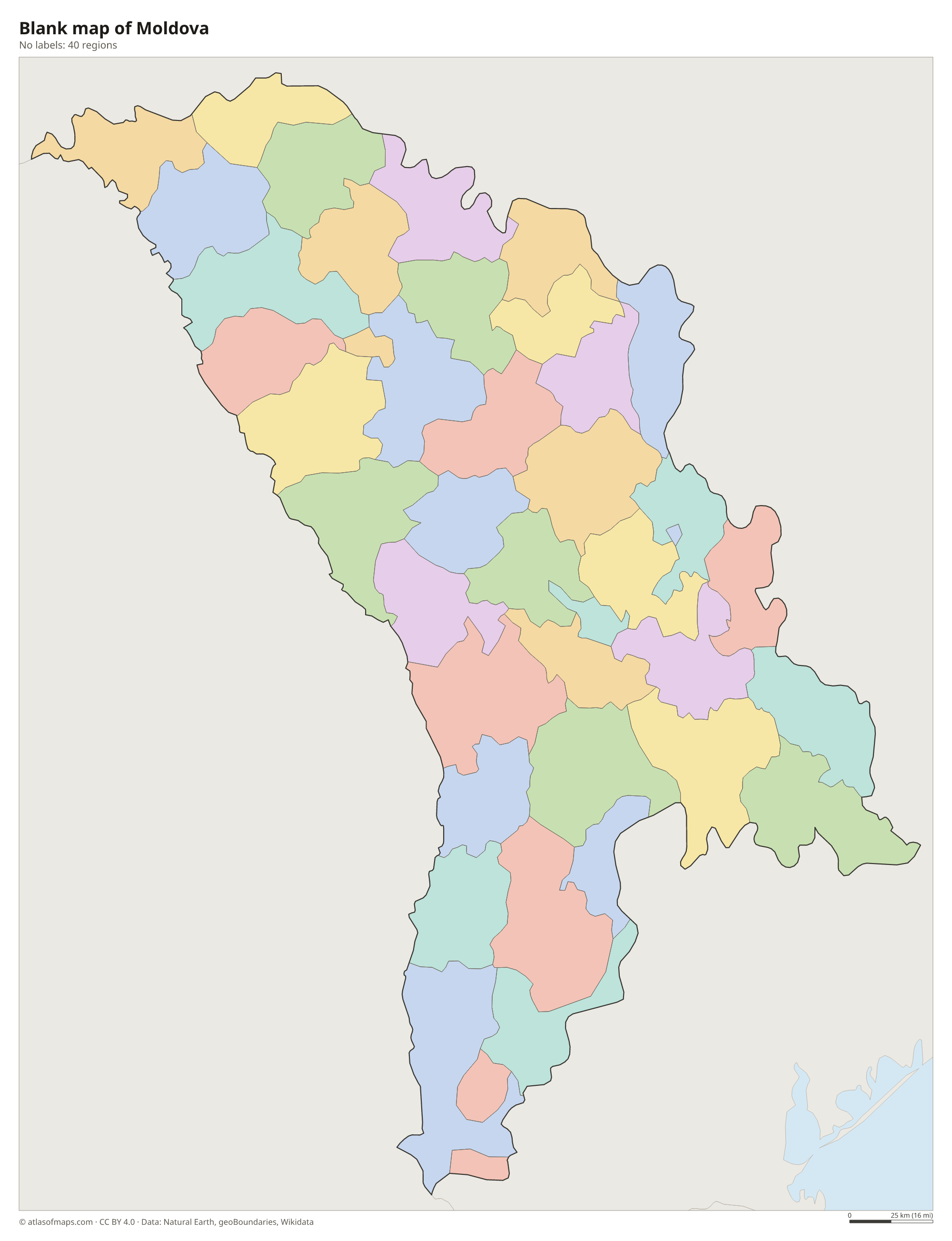
Blank map of Moldova

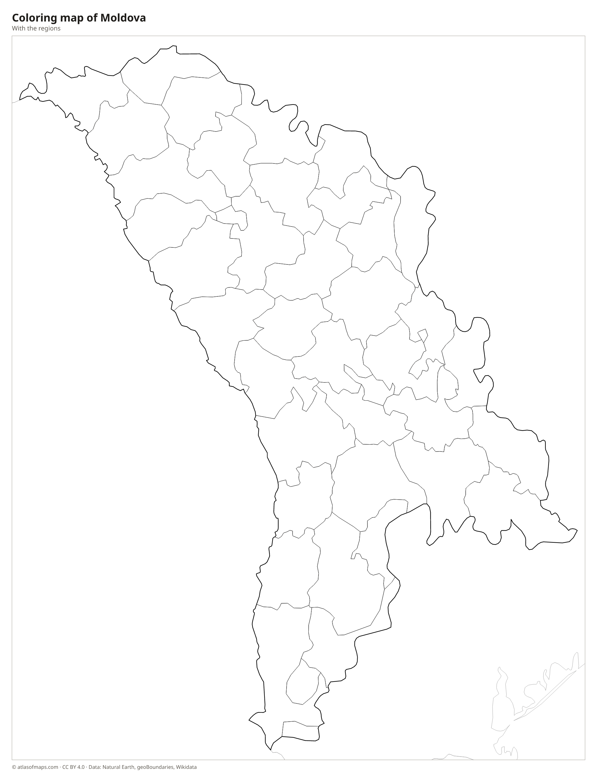
Coloring map of Moldova

Geography of Moldova
Moldova covers 33,844 km² (13,067 sq mi) of rolling hills and plains, with no mountains. The north is a hilly plateau, the center holds the forested Codri Hills, and the south opens onto the flat Bugeac steppe. The highest point, Bălănești Hill, rises only to 430 m (1,411 ft) in the Codri Hills of west-central Moldova. Rich black chernozem soils cover much of the land, which makes it ideal for grain, sunflowers, orchards and the vineyards for which the country is known.
Two rivers frame the country: the Prut forms the border with Romania, while the Dniester (Nistru) flows through the east, separating most of Transnistria from the rest of Moldova. Both rivers drain toward the Black Sea, which Moldova does not touch, although it has a very short stretch of bank on the Danube at Giurgiulești in the far south. The climate is moderately continental, with warm, fairly dry summers and cold winters.
Fun facts
- The Mileștii Mici wine cellars near Chișinău stretch for about 200 km (124 mi) underground and hold one of the largest wine collections in the world.
- Moldova's only access to a major waterway is a stretch of Danube riverbank less than 1 km (0.6 mi) long at Giurgiulești.
- At Orheiul Vechi, a monastery is carved into the limestone cliffs of a gorge cut by the Răut River.
Flag of Moldova
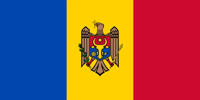
The flag of Moldova is a vertical tricolor of blue, yellow and red, with the national coat of arms in the center of the yellow band. The arms show a brown eagle holding a golden cross in its beak and a scepter and an olive branch in its claws. On its chest is a shield with the head of an aurochs, a star, a rose and a crescent. The flag has a 1:2 ratio.
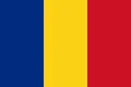
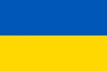
Countries bordering Moldova
Frequently asked questions
What countries border Moldova?
Moldova borders only two countries: Romania to the west and Ukraine to the north, east and south. It is landlocked, although the Black Sea is not far away.
How many regions does Moldova have?
The map divides Moldova into 40 units: mostly districts (raioane), plus several cities with special status, the autonomous region of Gagauzia and areas of Transnistria.
What is Transnistria?
Transnistria is a narrow strip of land, mostly east of the Dniester River, that broke away from Moldova in the early 1990s. It is internationally recognized as part of Moldova but has its own unrecognized government.
What is the capital of Moldova?
The capital of Moldova is Chișinău.
What language is spoken in Moldova?
The official language is Romanian.
Can I print the map of Moldova?
Yes. Every map on this page can be downloaded for free as PNG or PDF (US Letter) and printed, including the blank map and the coloring map. Please credit the source (Atlas of Maps, CC BY 4.0).
Use this map
You can download, print and share this map for free, in class, in school projects, in presentations and on websites, as long as you credit the source: Map of Moldova · Atlas of Maps (atlasofmaps.com), license CC BY 4.0.
See also: Map of Europe · World map