Map of Romania with counties and capitals
Romania is a country in southeastern Europe, north of the Balkan Peninsula, with a coast on the Black Sea. It borders Ukraine and Moldova to the north and east, Bulgaria to the south, Serbia to the southwest and Hungary to the west. The political map shows its 42 counties, the capital, Bucharest, and major cities.

- Capital
- Bucharest
- Population
- 19.1 million (2022)
- Area
- 238,397 km² (92,046 sq mi)
- Population density
- 80 per km² (207 per sq mi)
- Official language
- Romanian
- Currency
- Romanian leu
- Demonym
- Romanian
- Counties
- 42
- Highest point
- Moldoveanu Peak (2,544 m (8,346 ft))
- Calling code
- +40
- Internet domain
- .ro
Where is Romania?
Romania is a country in southeastern Europe, north of the Balkan Peninsula, with a coast on the Black Sea. It borders Ukraine and Moldova to the north and east, Bulgaria to the south, Serbia to the southwest and Hungary to the west.
Neighboring countries: Bulgaria, Hungary, Moldova, Serbia, Ukraine.

Counties of Romania and their capitals
Romania is divided into 41 counties (județe) and the municipality of Bucharest, which is administered like a county, so the map shows 42 units. Several counties are named after rivers, such as Argeș, Olt, Mureș and Prahova.
| County | Capital | Population | Area |
|---|---|---|---|
| Alba | Alba Iulia | 325,941 | 6,242 km² (2,410 sq mi) |
| Arad | Arad | 410,143 | 7,754 km² (2,994 sq mi) |
| Argeș | Pitești | 569,932 | 6,862 km² (2,649 sq mi) |
| Bacău | Bacău | 601,387 | 6,621 km² (2,556 sq mi) |
| Bihor | Oradea | 551,297 | 7,544 km² (2,913 sq mi) |
| Bistrița-Năsăud | Bistrița | 295,988 | 5,355 km² (2,068 sq mi) |
| Botoșani | Botoșani | 392,821 | 4,986 km² (1,925 sq mi) |
| Brăila | Brăila | 281,452 | 4,766 km² (1,840 sq mi) |
| Brașov | Brașov | 546,615 | 5,363 km² (2,071 sq mi) |
| Bucharest | Bucharest | 1,716,961 | 226 km² (87 sq mi) |
| Buzău | Buzău | 404,979 | 6,103 km² (2,356 sq mi) |
| Călărași | Călărași | 283,458 | 5,088 km² (1,964 sq mi) |
| Caraș-Severin | Reșița | 246,588 | 8,514 km² (3,287 sq mi) |
| Cluj | Cluj-Napoca | 679,141 | 6,674 km² (2,577 sq mi) |
| Constanța | Constanța | 655,997 | 7,071 km² (2,730 sq mi) |
| Covasna | Sfântu Gheorghe | 200,042 | 3,710 km² (1,432 sq mi) |
| Dâmbovița | Târgoviște | 479,404 | 4,054 km² (1,565 sq mi) |
| Dolj | Craiova | 599,442 | 5,562 km² (2,148 sq mi) |
| Galați | Galați | 496,892 | 4,466 km² (1,724 sq mi) |
| Giurgiu | Giurgiu | 262,066 | 3,526 km² (1,361 sq mi) |
| Gorj | Târgu Jiu | 314,685 | 5,602 km² (2,163 sq mi) |
| Harghita | Miercurea Ciuc | 291,950 | 6,639 km² (2,563 sq mi) |
| Hunedoara | Deva | 361,657 | 7,063 km² (2,727 sq mi) |
| Ialomița | Slobozia | 250,816 | 4,453 km² (1,719 sq mi) |
| Iași | Iași | 760,774 | 5,476 km² (2,114 sq mi) |
| Ilfov | Bucharest | 542,704 | 1,583 km² (611 sq mi) |
| Maramureș | Baia Mare | 452,475 | 6,304 km² (2,434 sq mi) |
| Mehedinți | Drobeta-Turnu Severin | 234,339 | 4,942 km² (1,908 sq mi) |
| Mureș | Târgu Mureș | 518,193 | 6,714 km² (2,592 sq mi) |
| Neamț | Piatra Neamț | 454,203 | 5,896 km² (2,276 sq mi) |
| Olt | Slatina | 383,280 | 5,498 km² (2,123 sq mi) |
| Prahova | Ploiești | 695,119 | 4,716 km² (1,821 sq mi) |
| Sălaj | Zalău | 212,224 | 3,864 km² (1,492 sq mi) |
| Satu Mare | Satu Mare | 330,668 | 4,418 km² (1,706 sq mi) |
| Sibiu | Sibiu | 388,326 | 5,432 km² (2,097 sq mi) |
| Suceava | Suceava | 642,551 | 8,553 km² (3,302 sq mi) |
| Teleorman | Alexandria | 323,544 | 5,790 km² (2,236 sq mi) |
| Timiș | Timișoara | 765,763 | 8,697 km² (3,358 sq mi) |
| Tulcea | Tulcea | 193,355 | 8,499 km² (3,281 sq mi) |
| Vâlcea | Râmnicu Vâlcea | 341,861 | 5,765 km² (2,226 sq mi) |
| Vaslui | Vaslui | 374,700 | 5,318 km² (2,053 sq mi) |
| Vrancea | Focșani | 335,312 | 4,857 km² (1,875 sq mi) |
Population from Wikidata (latest figure available for each county).
Blank and coloring maps of Romania
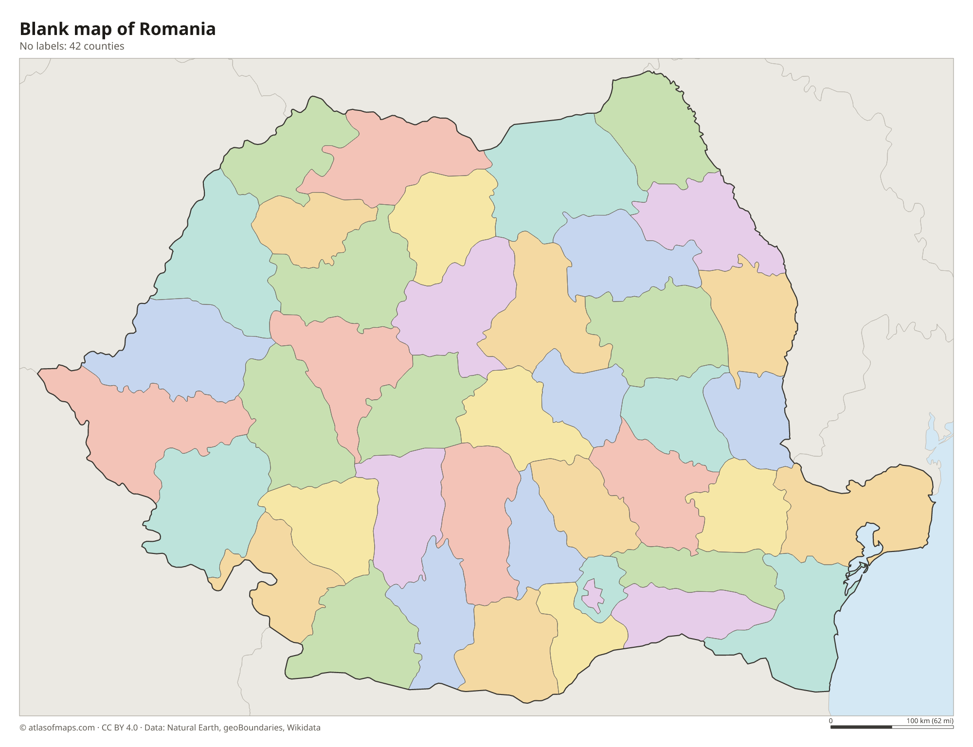
Blank map of Romania

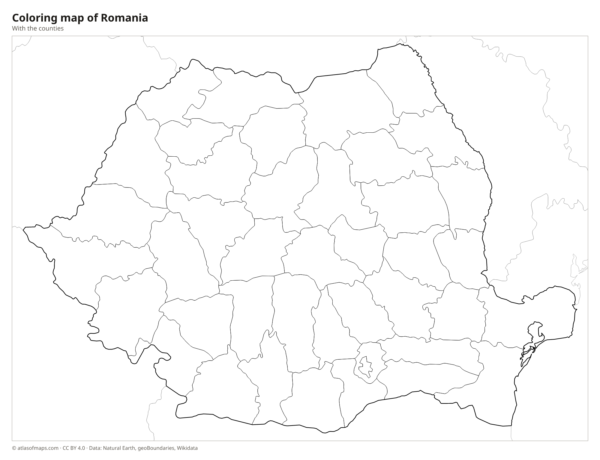
Coloring map of Romania

Geography of Romania
The Carpathian Mountains sweep through the middle of Romania in a great arc, made up of the Eastern Carpathians, the Southern Carpathians and the lower Western Carpathians. The Southern Carpathians, also called the Transylvanian Alps, hold Moldoveanu Peak, the highest point at 2,544 m (8,346 ft). Inside the arc lies the Transylvanian Plateau, a region of hills and river valleys. Outside it, the land falls to lowlands: the Wallachian Plain in the south, the hills and plateau of Moldavia in the northeast and the plains along the Hungarian border in the west. Dobruja lies between the lower Danube and the Black Sea.
The Danube forms most of Romania's southern border with Serbia and Bulgaria, cutting through the Carpathians at the Iron Gates gorge, and ends in the Danube Delta on the Black Sea, one of the largest wetlands in Europe. Rivers such as the Olt, Siret and Argeș flow from the mountains to the Danube, while the Mureș and Someș flow west toward Hungary. The Prut forms the border with Moldova. The Black Sea coast has sandy beaches and lagoons. The climate is continental, with hot summers and cold, snowy winters, especially in the mountains.
Fun facts
- The Danube Delta is a UNESCO World Heritage Site and home to huge colonies of pelicans and other water birds.
- The Transfăgărășan road climbs over the Făgăraș Mountains, the highest part of the Southern Carpathians.
- Romania had about 19.05 million inhabitants in 2022, and Bucharest is by far its largest city.
Flag of Romania
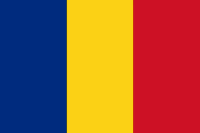
The flag of Romania has three equal vertical stripes of blue, yellow and red, with blue at the hoist. It carries no emblem. It looks almost exactly like the flag of Chad; the only difference is a slightly different shade of blue, which is hard to tell apart.
Countries bordering Romania
Frequently asked questions
What countries border Romania?
Romania borders five countries: Ukraine to the north and east, Moldova to the east, Bulgaria to the south, Serbia to the southwest and Hungary to the west. The Black Sea lies to the southeast.
How many counties does Romania have?
Romania has 41 counties plus the municipality of Bucharest, giving 42 county-level units on the map. Each county has a capital city, such as Cluj-Napoca in Cluj County.
Is Romania in Eastern Europe or the Balkans?
Romania is usually placed in southeastern or Eastern Europe. Only Dobruja, between the lower Danube and the Black Sea, is sometimes counted as part of the Balkan Peninsula.
What is the capital of Romania?
The capital of Romania is Bucharest.
What language is spoken in Romania?
The official language is Romanian.
Can I print the map of Romania?
Yes. Every map on this page can be downloaded for free as PNG or PDF (US Letter) and printed, including the blank map and the coloring map. Please credit the source (Atlas of Maps, CC BY 4.0).
Use this map
You can download, print and share this map for free, in class, in school projects, in presentations and on websites, as long as you credit the source: Map of Romania · Atlas of Maps (atlasofmaps.com), license CC BY 4.0.
See also: Map of Europe · Map of the European Union · World map