Map of Laos
Laos is a landlocked country in Southeast Asia, on the Indochinese Peninsula. It borders China, Vietnam, Cambodia, Thailand and Myanmar, and the Mekong River forms much of its western border with Thailand. The political map shows its regions, the capital, Vientiane, and major cities.

- Capital
- Vientiane
- Population
- 6.9 million (2017)
- Area
- 236,800 km² (91,429 sq mi)
- Population density
- 29 per km² (75 per sq mi)
- Official language
- Lao
- Currency
- Lao kip
- Demonym
- Laotian
- Highest point
- Phou Bia (2,819 m (9,249 ft))
- Calling code
- +856
- Internet domain
- .la
Where is Laos?
Laos is a landlocked country in Southeast Asia, on the Indochinese Peninsula. It borders China, Vietnam, Cambodia, Thailand and Myanmar, and the Mekong River forms much of its western border with Thailand.
Neighboring countries: China, Cambodia, Myanmar, Thailand, Vietnam.

Regions of Laos and their capitals
Laos is divided into provinces plus Vientiane Capital, a prefecture around the capital city. The divisions on the map come from Natural Earth and may not reflect the latest territorial reform in Laos, such as the re-creation of Xaisomboun Province.
The divisions on the map come from Natural Earth and may not reflect the latest territorial reform in Laos.
| Region | Capital | Population | Area |
|---|---|---|---|
| Attapeu | Attapư̄ | 139,628 | 10,320 km² (3,985 sq mi) |
| Bokeo | Ban Houayxay | 179,243 | 6,196 km² (2,392 sq mi) |
| Bolikhamsai | Pakxan | 315,956 | 14,863 km² (5,739 sq mi) |
| Champasak | Pāksē | 694,023 | 15,415 km² (5,952 sq mi) |
| Houaphanh | Xam Neua | 310,976 | 16,500 km² (6,371 sq mi) |
| Khammouane | Thakhèk | 433,570 | 16,315 km² (6,299 sq mi) |
| Luang Namtha | Lūang Namthā | 199,090 | 9,325 km² (3,600 sq mi) |
| Luang Prabang | Luang Prabang | 467,157 | 16,875 km² (6,515 sq mi) |
| Oudomxay | Mư̄ang Sai | 345,425 | 15,370 km² (5,934 sq mi) |
| Phongsaly | Phongsālī | 177,989 | 16,925 km² (6,535 sq mi) |
| Sainyabuli | Sainyabūlī | 423,496 | 16,389 km² (6,328 sq mi) |
| Salavan | Sālavan | 396,942 | 10,691 km² (4,128 sq mi) |
| Savannakhet | Savannakhet | 969,697 | 21,774 km² (8,407 sq mi) |
| Sekong | Sekong | 113,048 | 7,665 km² (2,959 sq mi) |
| Vientiane | Phōnhōng | 388,833 | 15,927 km² (6,149 sq mi) |
| Vientiane Prefecture | Vientiane Prefecture | — | 3,920 km² (1,514 sq mi) |
| Xiangkhouang | Phōnsavan | 267,172 | 16,358 km² (6,316 sq mi) |
Population from Wikidata (latest figure available for each region).
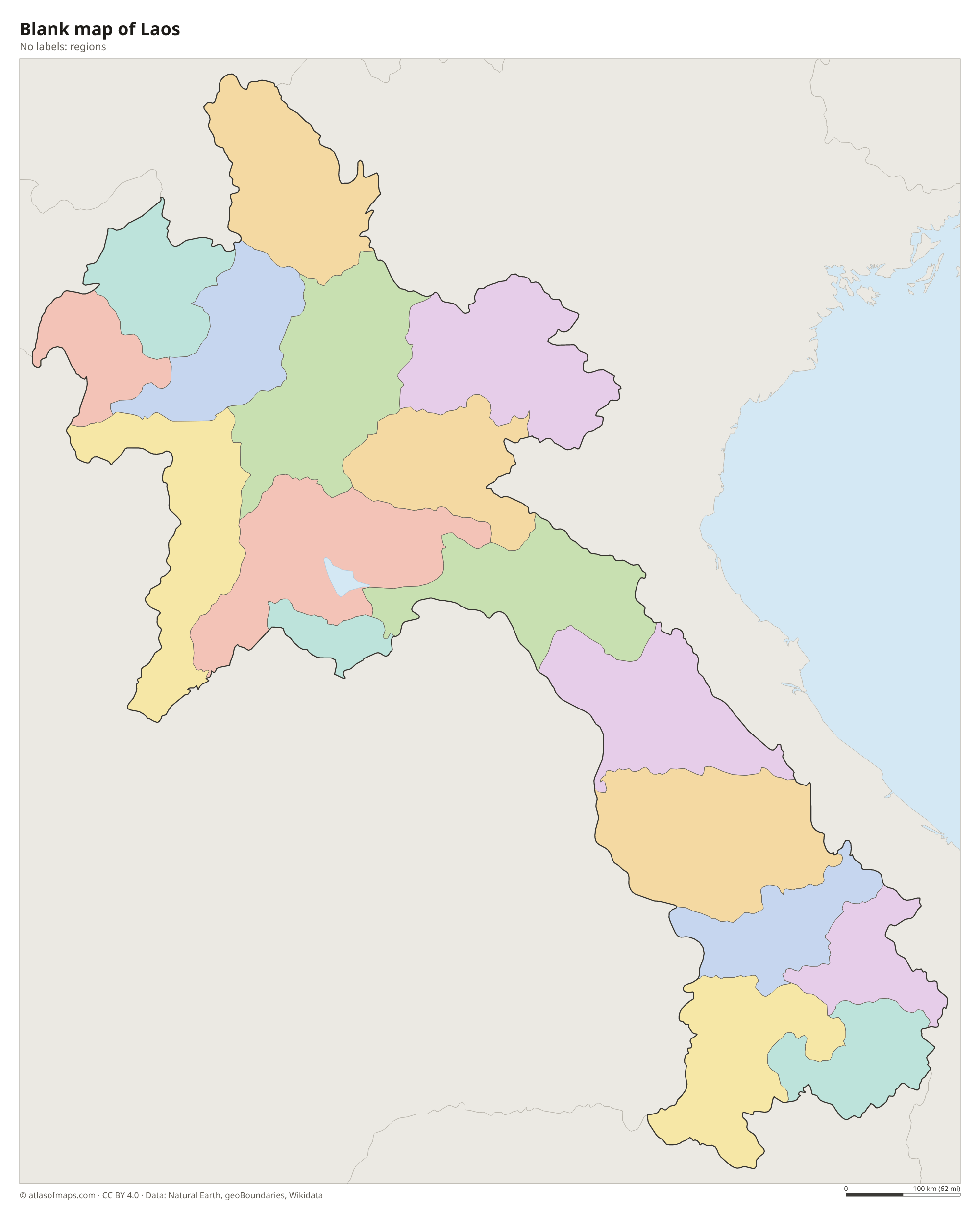
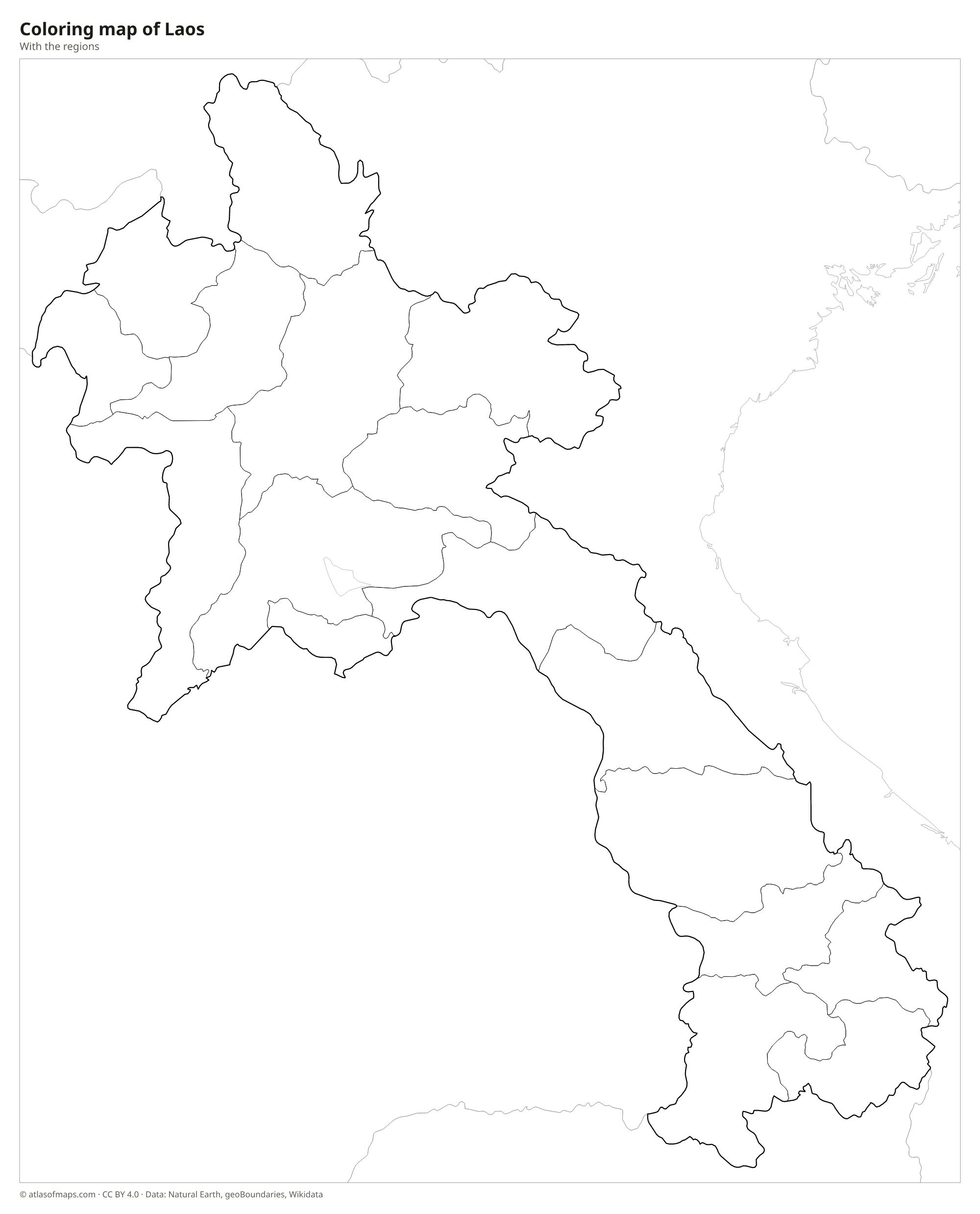
Blank and coloring maps of Laos
Blank map of Laos

Coloring map of Laos

Geography of Laos
Laos covers 236,800 km² (91,429 sq mi) and is mostly mountainous and forested. Rugged mountains fill the north, and Phou Bia, the highest point at 2,819 m (9,249 ft), rises at the southern edge of the Xieng Khouang Plateau. On the same plateau lies the Plain of Jars, scattered with ancient stone jars. The Annamite Range runs along the long eastern border with Vietnam. In the south, the Bolaven Plateau, with cool weather and rich volcanic soils, is known for its coffee and waterfalls.
The Mekong River is the lifeline of Laos, flowing through or along the country from the Chinese border to Cambodia. Its tributaries, such as the Nam Ou and the Nam Ngum, are increasingly dammed for hydropower. Near the Cambodian border, the Mekong spreads into Si Phan Don, the Four Thousand Islands, and plunges over the Khone Phapheng Falls. Most people live in the Mekong lowlands, including the capital, Vientiane. The climate is tropical monsoon, with a rainy season from about May to October and a dry season for the rest of the year.
Fun facts
- Laos is the only landlocked country in Southeast Asia.
- The old royal capital of Luang Prabang, where the Nam Khan meets the Mekong, is a UNESCO World Heritage Site.
- The Khone Phapheng Falls are among the largest waterfalls in Southeast Asia by the volume of water.
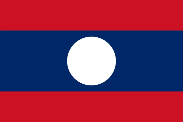
Flag of Laos
The flag of Laos has three horizontal stripes: red at the top, a blue stripe twice as tall in the middle and red at the bottom. In the center of the blue stripe is a white disc whose diameter is four-fifths of the height of the blue stripe. The flag has a 2:3 ratio.
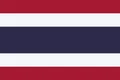
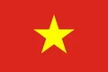
Countries bordering Laos
Frequently asked questions
What countries border Laos?
Laos borders five countries: China to the north, Vietnam to the east, Cambodia to the south, Thailand to the west and southwest, and Myanmar to the northwest.
Is Laos landlocked?
Yes. Laos is the only landlocked country in Southeast Asia. It relies on the Mekong River and on road and rail links through Thailand, Vietnam and China to reach the sea.
What is the capital of Laos?
The capital and largest city is Vientiane, on the banks of the Mekong River across from Thailand. The nearby Friendship Bridge links Laos to the Thai city of Nong Khai.
What language is spoken in Laos?
The official language is Lao.
Can I print the map of Laos?
Yes. Every map on this page can be downloaded for free as PNG or PDF (US Letter) and printed, including the blank map and the coloring map. Please credit the source (Atlas of Maps, CC BY 4.0).
Use this map
You can download, print and share this map for free, in class, in school projects, in presentations and on websites, as long as you credit the source: Map of Laos · Atlas of Maps (atlasofmaps.com), license CC BY 4.0.
See also: Map of Asia · Map of Southeast Asia · World map