Map of Nepal with provinces and capitals
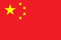
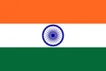
Nepal is a landlocked country in South Asia, set along the central Himalayas. It lies between China (Tibet) to the north and India to the east, south and west. The political map shows its 7 provinces, the capital, Kathmandu, and major cities.

- Capital
- Kathmandu
- Population
- 29.2 million (2021)
- Area
- 147,181 km² (56,827 sq mi)
- Population density
- 198 per km² (513 per sq mi)
- Official language
- Nepali
- Currency
- Nepalese rupee
- Demonym
- Nepalese
- Provinces
- 7
- Highest point
- Mount Everest (8,849 m (29,032 ft))
- Calling code
- +977
- Internet domain
- .np
- Official name
- Federal Democratic Republic of Nepal
Where is Nepal?
Nepal is a landlocked country in South Asia, set along the central Himalayas. It lies between China (Tibet) to the north and India to the east, south and west.

Provinces of Nepal
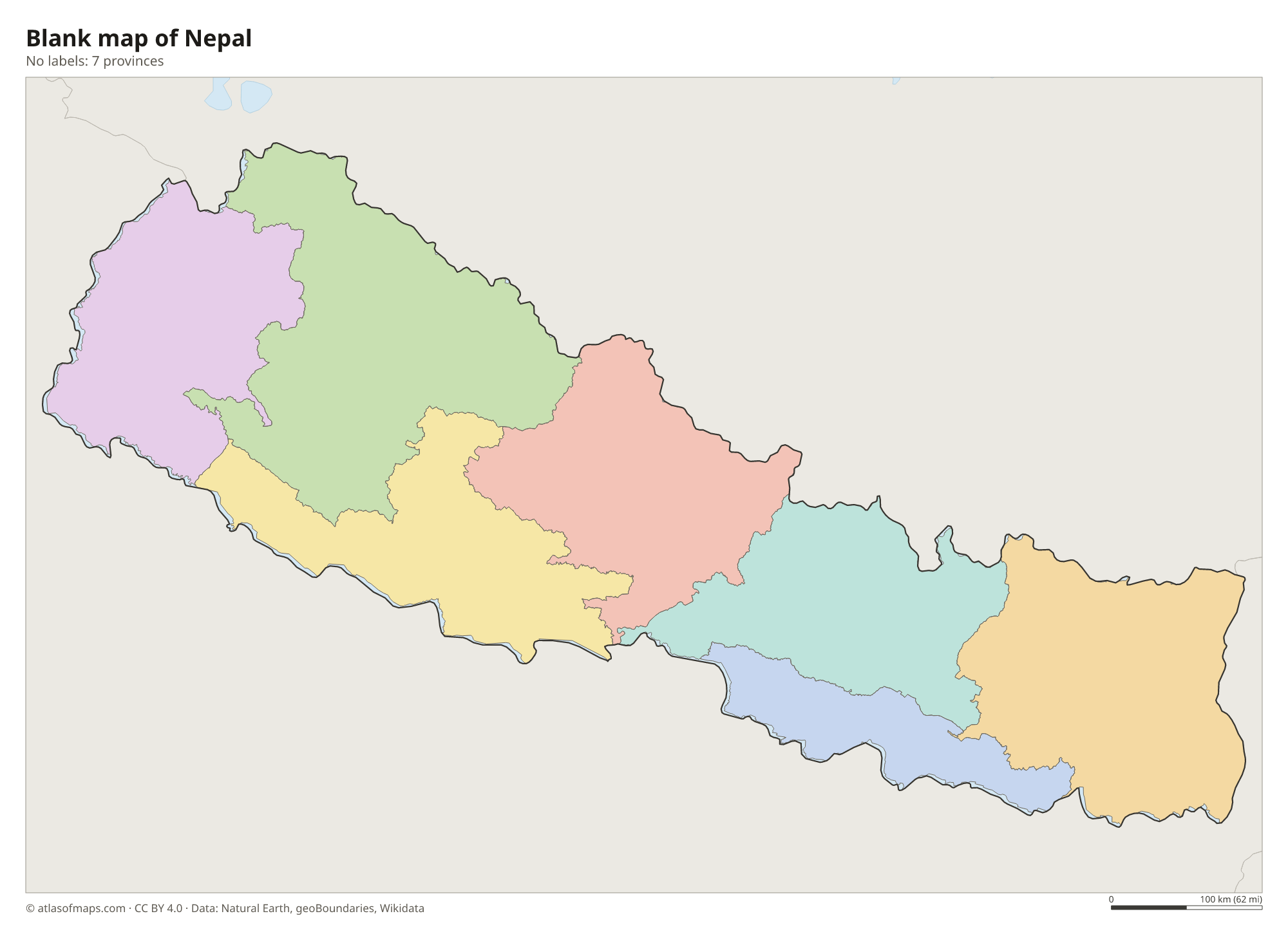
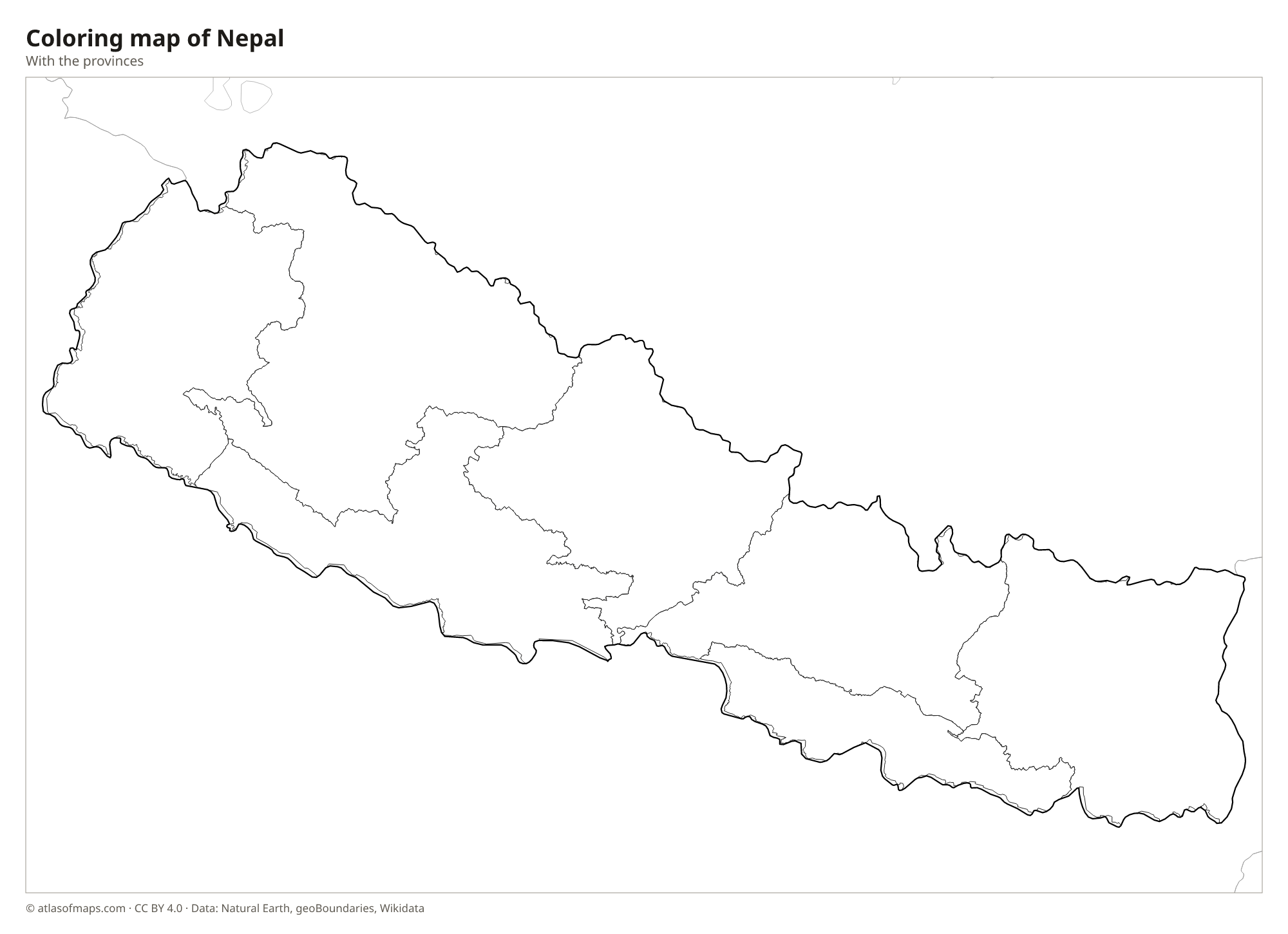
Nepal is divided into 7 provinces, created under the 2015 constitution and shown on the map: Koshi, Madhesh, Bagmati, Gandaki, Lumbini, Karnali and Sudurpashchim. Each province is subdivided into districts, and Kathmandu lies in Bagmati Province.
| Province | Area |
|---|---|
| Bagmati | 19,866 km² (7,670 sq mi) |
| Gandaki | 21,336 km² (8,238 sq mi) |
| Karnali | 30,131 km² (11,634 sq mi) |
| Koshi | 25,400 km² (9,807 sq mi) |
| Lumbini | 19,206 km² (7,415 sq mi) |
| Madhesh | 9,553 km² (3,688 sq mi) |
| Sudurpashchim | 19,583 km² (7,561 sq mi) |
Blank and coloring maps of Nepal
Blank map of Nepal

Coloring map of Nepal

Geography of Nepal
Nepal covers 147,181 km² (56,827 sq mi), yet over a short distance the land climbs from low plains to the highest mountains on Earth. In the south lies the Terai, a flat, fertile strip of the Ganges plain. North of it rise the Hills, a belt of ridges and valleys that includes the Kathmandu Valley. The northern part is the high Himalaya, with eight of the world's ten highest peaks, including Mount Everest at 8,849 m (29,032 ft) on the border with China.
Three great river systems, the Koshi, the Gandaki (Narayani) and the Karnali, rise in or beyond the Himalayas and cut deep gorges southward before joining the Ganges in India. The Kali Gandaki Gorge, between the Annapurna and Dhaulagiri massifs, is among the deepest on Earth. Rara Lake, in the remote west, is the largest lake. The climate changes with elevation, from hot and humid in the Terai to arctic on the peaks, and most rain falls during the summer monsoon from about June to September.
Fun facts
- Lumbini, in the Terai, is the birthplace of Siddhartha Gautama, the Buddha.
- In Nepali, Mount Everest is called Sagarmatha, and the national park around it is a UNESCO World Heritage Site.
- The temples and palace squares of the Kathmandu Valley are listed together as a UNESCO World Heritage Site.
Flag of Nepal
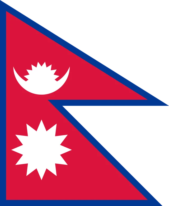
The flag of Nepal is the only national flag that is not a rectangle. It is made of two stacked triangular pennants in crimson red, edged with a blue border. The upper pennant holds a white crescent moon, and the lower pennant holds a white sun with twelve triangular rays.
Countries bordering Nepal
Frequently asked questions
What countries border Nepal?
Nepal borders only two countries: China (the Tibet Autonomous Region) to the north and India to the east, south and west. It is completely landlocked.
How many provinces does Nepal have?
Nepal has 7 provinces: Koshi, Madhesh, Bagmati, Gandaki, Lumbini, Karnali and Sudurpashchim. They were set up under the constitution adopted in 2015.
Is Mount Everest in Nepal?
Mount Everest sits on the border between Nepal and China. Its summit, at 8,849 m (29,032 ft), is shared by both countries, and its southern side lies in Nepal's Sagarmatha National Park.
What is the capital of Nepal?
The capital of Nepal is Kathmandu.
What language is spoken in Nepal?
The official language is Nepali.
Can I print the map of Nepal?
Yes. Every map on this page can be downloaded for free as PNG or PDF (US Letter) and printed, including the blank map and the coloring map. Please credit the source (Atlas of Maps, CC BY 4.0).
Use this map
You can download, print and share this map for free, in class, in school projects, in presentations and on websites, as long as you credit the source: Map of Nepal · Atlas of Maps (atlasofmaps.com), license CC BY 4.0.
See also: Map of Asia · World map