Map of Afghanistan with provinces and capitals
Afghanistan is a landlocked country in south-central Asia, where Central Asia, South Asia and the Middle East meet. It borders Pakistan to the east and south, Iran to the west, Turkmenistan, Uzbekistan and Tajikistan to the north, and China at the tip of the narrow Wakhan Corridor. The political map shows its 34 provinces, the capital, Kabul, and major cities.

- Capital
- Kabul
- Population
- 41.5 million (2023)
- Area
- 652,230 km² (251,827 sq mi)
- Population density
- 64 per km² (165 per sq mi)
- Official languages
- Pashto, Dari, Balochi, Nuristani, Pamir, and Pashayi
- Currency
- afghani
- Demonym
- Afghan
- Provinces
- 34
- Highest point
- Noshaq (7,492 m (24,580 ft))
- Calling code
- +93
- Internet domain
- .af
- Official name
- Islamic Emirate of Afghanistan
Where is Afghanistan?
Afghanistan is a landlocked country in south-central Asia, where Central Asia, South Asia and the Middle East meet. It borders Pakistan to the east and south, Iran to the west, Turkmenistan, Uzbekistan and Tajikistan to the north, and China at the tip of the narrow Wakhan Corridor.
Neighboring countries: China, Iran, Pakistan, Tajikistan, Turkmenistan, Uzbekistan.

Provinces of Afghanistan and their capitals
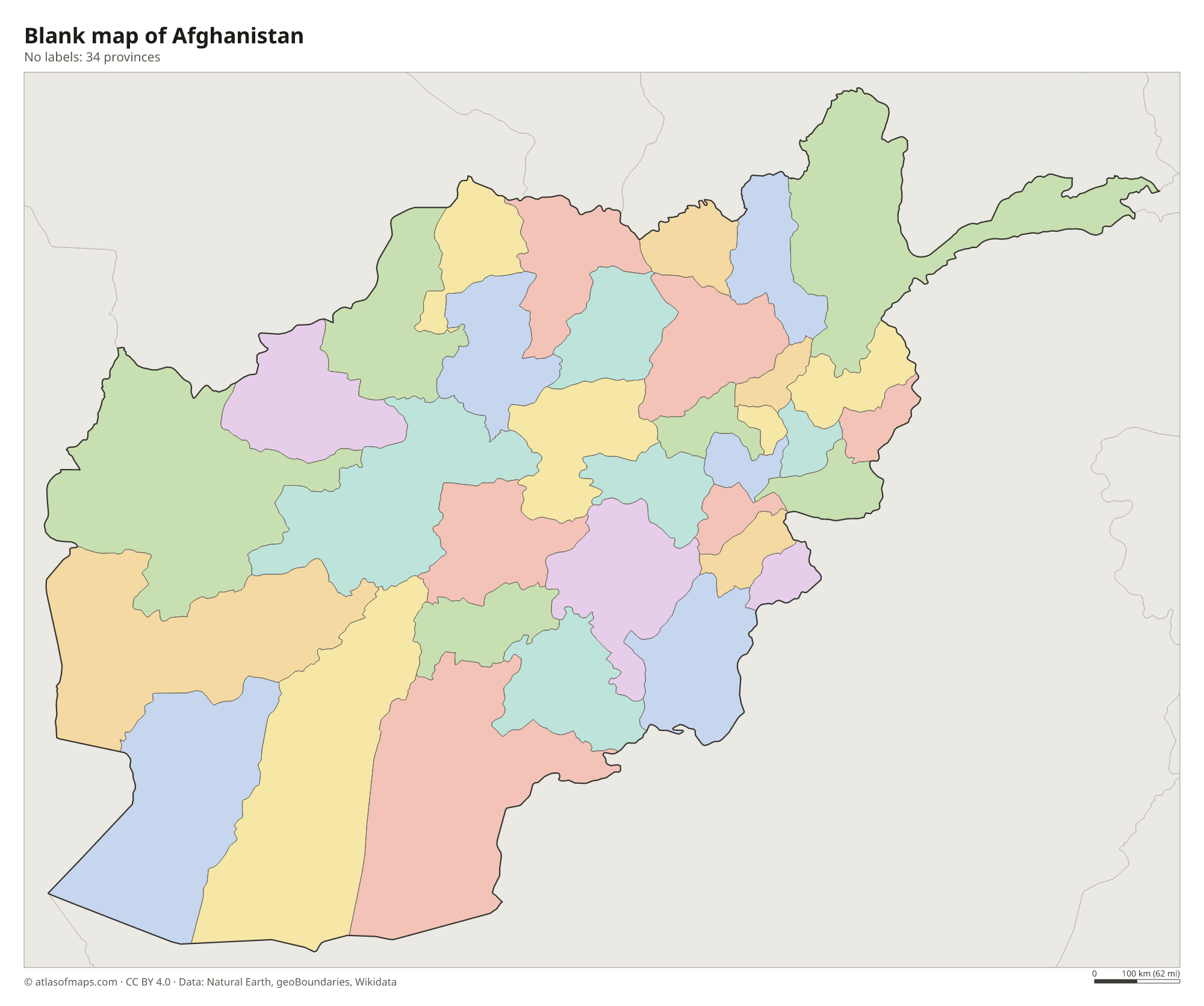
Afghanistan is divided into 34 provinces, all drawn on the map. Many carry the name of their capital city, such as Kabul, Herat and Kandahar, while others, such as Badakhshan in the northeast and Nuristan in the east, are named after historic regions.
| Province | Capital | Population | Area |
|---|---|---|---|
| Badakhshan | Fayzabad | 1,054,087 | 44,059 km² (17,011 sq mi) |
| Badghis | Qala e Naw | 549,583 | 20,591 km² (7,950 sq mi) |
| Baghlan | Pul-e Khomri | 1,014,634 | 21,118 km² (8,154 sq mi) |
| Balkh | Mazar-i-Sharif | 1,509,183 | 16,186 km² (6,249 sq mi) |
| Bamyan | Bamyan | 495,557 | 14,175 km² (5,473 sq mi) |
| Daykundi | — | — | — |
| Farah | Farah | 563,026 | 48,471 km² (18,715 sq mi) |
| Faryab | Maymana | 1,109,223 | 20,293 km² (7,835 sq mi) |
| Ghazni | Ghazni | 1,362,504 | 22,915 km² (8,848 sq mi) |
| Ghōr | Firuzkoh | 764,472 | 3,657 km² (1,412 sq mi) |
| Helmand | Lashkar Gah | 1,446,230 | 58,584 km² (22,619 sq mi) |
| Herat | Herat | 1,762,157 | 54,778 km² (21,150 sq mi) |
| Jowzjan | Sheberghan | 613,481 | 11,798 km² (4,555 sq mi) |
| Kabul | Kabul | 5,766,181 | 4,462 km² (1,723 sq mi) |
| Kandahar | Kandahar | 1,431,876 | 54,022 km² (20,858 sq mi) |
| Kapisa | Mahmude Raqi | 399,500 | 1,842 km² (711 sq mi) |
| Khost | Khost | 647,730 | 4,152 km² (1,603 sq mi) |
| Kunar | Asadabad | 578,500 | 4,339 km² (1,675 sq mi) |
| Kunduz | Kunduz | 820,000 | 8,040 km² (3,104 sq mi) |
| Laghman | Mihtarlam | 4,035,000 | 3,843 km² (1,484 sq mi) |
| Logar | Pol-e Alam | 442,037 | 3,880 km² (1,498 sq mi) |
| Maidan Wardak | Maidan Shar | 656,720 | 9,934 km² (3,836 sq mi) |
| Nangarhar | Jalalabad | 1,735,531 | 7,727 km² (2,983 sq mi) |
| Nimruz | Zaranj | 149,000 | 41,356 km² (15,968 sq mi) |
| Nuristan | Parun | 160,000 | 9,225 km² (3,562 sq mi) |
| Paktia | Gardez | 667,956 | 6,432 km² (2,483 sq mi) |
| Paktika | Sharana | 393,800 | 19,482 km² (7,522 sq mi) |
| Panjshir | — | — | — |
| Parwan | Charikar | 664,502 | 5,974 km² (2,307 sq mi) |
| Samangan | Aybak | 438,235 | 11,262 km² (4,348 sq mi) |
| Sar-e Pol | Sar-e Pol | 532,000 | 16,360 km² (6,317 sq mi) |
| Takhar | Taloqan | 1,113,173 | 12,333 km² (4,762 sq mi) |
| Uruzgan | Tarinkot | 436,079 | 12,640 km² (4,880 sq mi) |
| Zabul | Qalat | 391,150 | 17,343 km² (6,696 sq mi) |
Population from Wikidata (latest figure available for each province).
Blank and coloring maps of Afghanistan
Blank map of Afghanistan

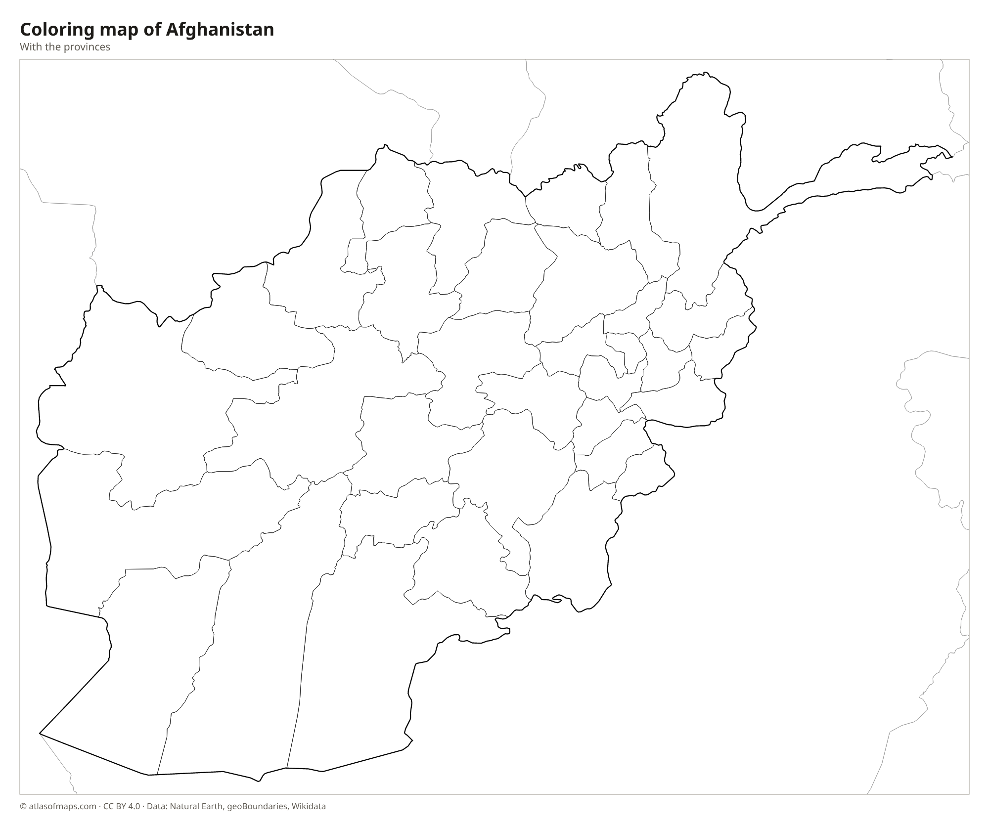
Coloring map of Afghanistan

Geography of Afghanistan
Afghanistan covers 652,230 km² (251,827 sq mi), and most of it is mountainous. The Hindu Kush runs from the northeast toward the center of the country, splitting the northern plains along the Amu Darya from the plateaus and deserts of the south. The highest point, Noshaq, rises to 7,492 m (24,580 ft) in the Hindu Kush on the border with Pakistan. In the southwest the land drops into dry basins and sandy deserts such as the Registan and the Dasht-e Margo, while the far northeast narrows into the Wakhan Corridor, a high valley squeezed between Tajikistan and Pakistan.
Most rivers start in the mountains, and many never reach the sea. The Amu Darya forms much of the northern border, the Helmand flows southwest into the marshes of the Sistan Basin on the Iranian border, and the Kabul River runs east into Pakistan to join the Indus. The Hari Rud waters the fertile valley around Herat. The climate is dry and continental, with cold, snowy winters in the highlands and very hot summers in the lowlands. Kabul, the capital, lies in a high valley below the Hindu Kush, and the country had about 41.5 million people in 2023.
Fun facts
- The Wakhan Corridor, a strip of mountains and valleys in the far northeast, separates Tajikistan from Pakistan and gives Afghanistan its short border with China.
- The Amu Darya, known in ancient times as the Oxus, forms much of Afghanistan's northern border.
- Afghanistan has no coastline, and several of its rivers, including the Helmand and the Hari Rud, end in inland basins or deserts instead of the sea.
Flag of Afghanistan
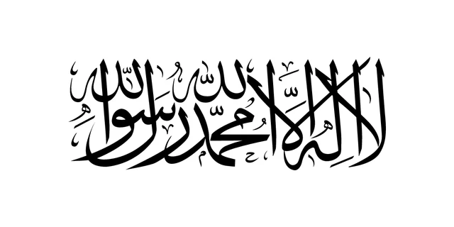
Since 2021, the flag used by the Taliban government has been a plain white field with the Shahada, the Islamic declaration of faith, written across the center in black Arabic script. The flag is twice as wide as it is tall. A similar white flag was flown when the Taliban first ruled the country in the late 1990s.
Countries bordering Afghanistan
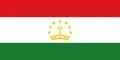
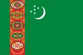
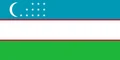
Frequently asked questions
What countries border Afghanistan?
Afghanistan borders six countries: Pakistan, Iran, Turkmenistan, Uzbekistan, Tajikistan and China. The border with China is a short, high mountain frontier at the end of the Wakhan Corridor.
How many provinces does Afghanistan have?
Afghanistan has 34 provinces. The main cities are provincial capitals, including Kabul, Herat, Kandahar and Mazar-i-Sharif, the capital of Balkh Province in the north.
Is Afghanistan in the Middle East or South Asia?
Afghanistan lies entirely in Asia, where several regions meet. It is often grouped with South Asia or Central Asia, and some broader definitions of the Middle East also include it.
What is the capital of Afghanistan?
The capital of Afghanistan is Kabul.
What language is spoken in Afghanistan?
The official languages are Pashto, Dari, Balochi, Nuristani, Pamir, and Pashayi.
Can I print the map of Afghanistan?
Yes. Every map on this page can be downloaded for free as PNG or PDF (US Letter) and printed, including the blank map and the coloring map. Please credit the source (Atlas of Maps, CC BY 4.0).
Use this map
You can download, print and share this map for free, in class, in school projects, in presentations and on websites, as long as you credit the source: Map of Afghanistan · Atlas of Maps (atlasofmaps.com), license CC BY 4.0.
See also: Map of Asia · World map