Map of Portugal with districts and capitals
Portugal is a country in southwestern Europe, on the western edge of the Iberian Peninsula. Its only land neighbor is Spain, to the north and east, while the Atlantic Ocean lies to the west and south, along with the Azores and Madeira. The political map shows its 18 districts and 2 autonomous regions, the capital, Lisbon, and major cities.

- Capital
- Lisbon
- Population
- 10.3 million (2021)
- Area
- 92,225 km² (35,608 sq mi)
- Population density
- 112 per km² (291 per sq mi)
- Official language
- Portuguese
- Currency
- euro
- Demonym
- Portuguese
- Divisions
- 18 districts and 2 autonomous regions
- Highest point
- Mount Pico (2,351 m (7,713 ft))
- Calling code
- +351
- Internet domain
- .pt
Where is Portugal?
Portugal is a country in southwestern Europe, on the western edge of the Iberian Peninsula. Its only land neighbor is Spain, to the north and east, while the Atlantic Ocean lies to the west and south, along with the Azores and Madeira.
Neighboring countries: Spain.

Districts of Portugal and their capitals
The map shows Portugal's 18 mainland districts, such as Lisbon, Porto and Faro, and its 2 autonomous regions, the Azores and Madeira, island groups in the Atlantic with their own regional governments and parliaments.
| District | Capital | Population | Area |
|---|---|---|---|
| Aveiro | Aveiro | 77,916 | — |
| Azores | Ponta Delgada | 236,440 | 2,322 km² (897 sq mi) |
| Beja | Beja | — | — |
| Braga | Braga | 181,919 | — |
| Bragança | Bragança | 33,586 | — |
| Castelo Branco | Castelo Branco | 52,192 | — |
| Coimbra | Coimbra | 133,724 | 3,947 km² (1,524 sq mi) |
| Évora | Évora | 52,454 | — |
| Faro | Faro | 60,974 | — |
| Guarda | Guarda | 39,103 | — |
| Leiria | Leiria | 124,857 | — |
| Lisbon | Lisbon | 2,135,992 | 2,800 km² (1,081 sq mi) |
| Madeira | Funchal | 250,769 | 801 km² (309 sq mi) |
| Portalegre | Portalegre | 22,359 | 6,065 km² (2,342 sq mi) |
| Porto | Porto | 1,817,172 | 2,395 km² (925 sq mi) |
| Santarém | Santarém | 57,398 | 6,747 km² (2,605 sq mi) |
| Setúbal | Setúbal | 115,758 | 5,064 km² (1,955 sq mi) |
| Viana do Castelo | Viana do Castelo | 84,636 | — |
| Vila Real | Vila Real | 49,868 | 4,328 km² (1,671 sq mi) |
| Viseu | Viseu | 96,991 | — |
Population from Wikidata (latest figure available for each district).
Blank and coloring maps of Portugal
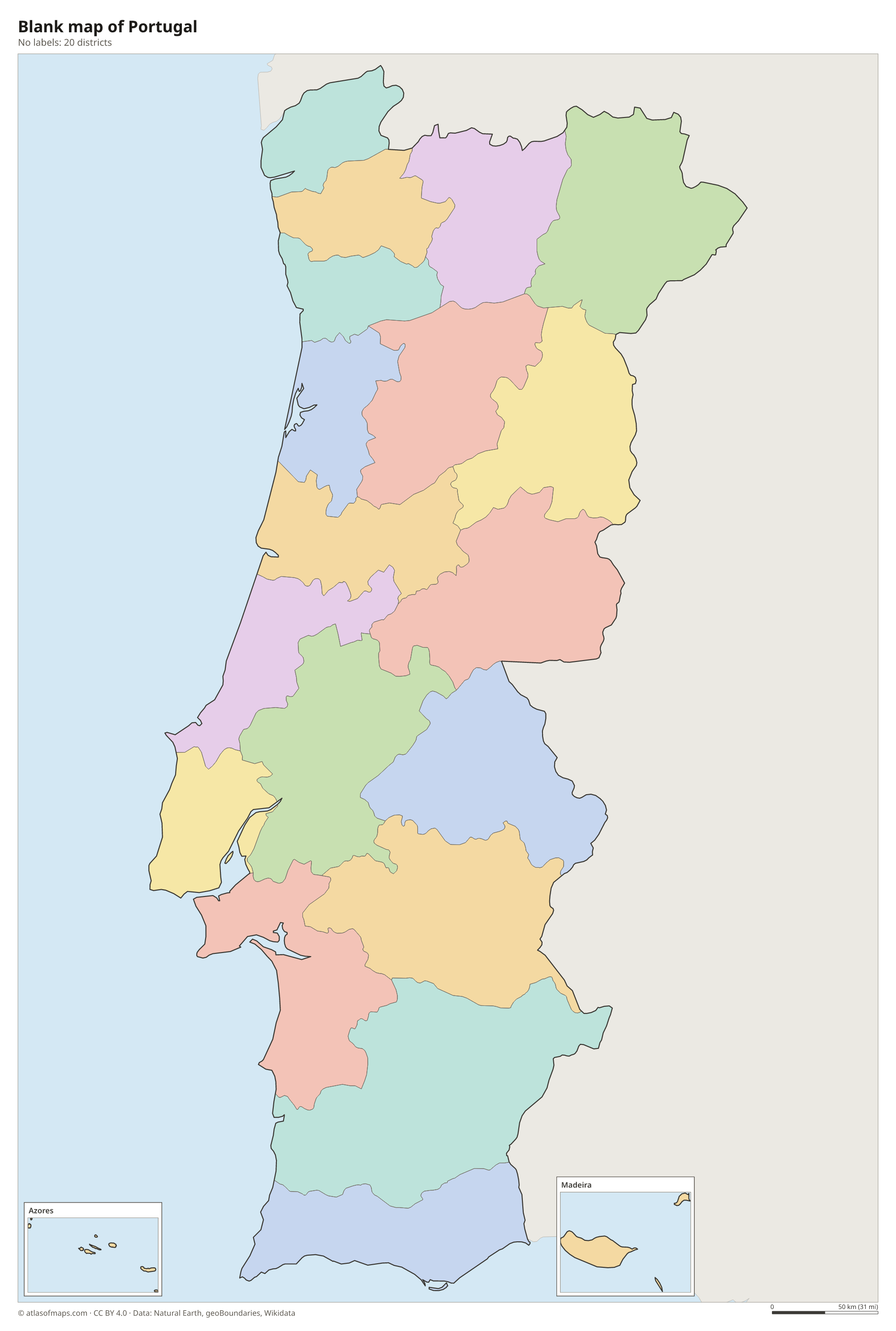
Blank map of Portugal

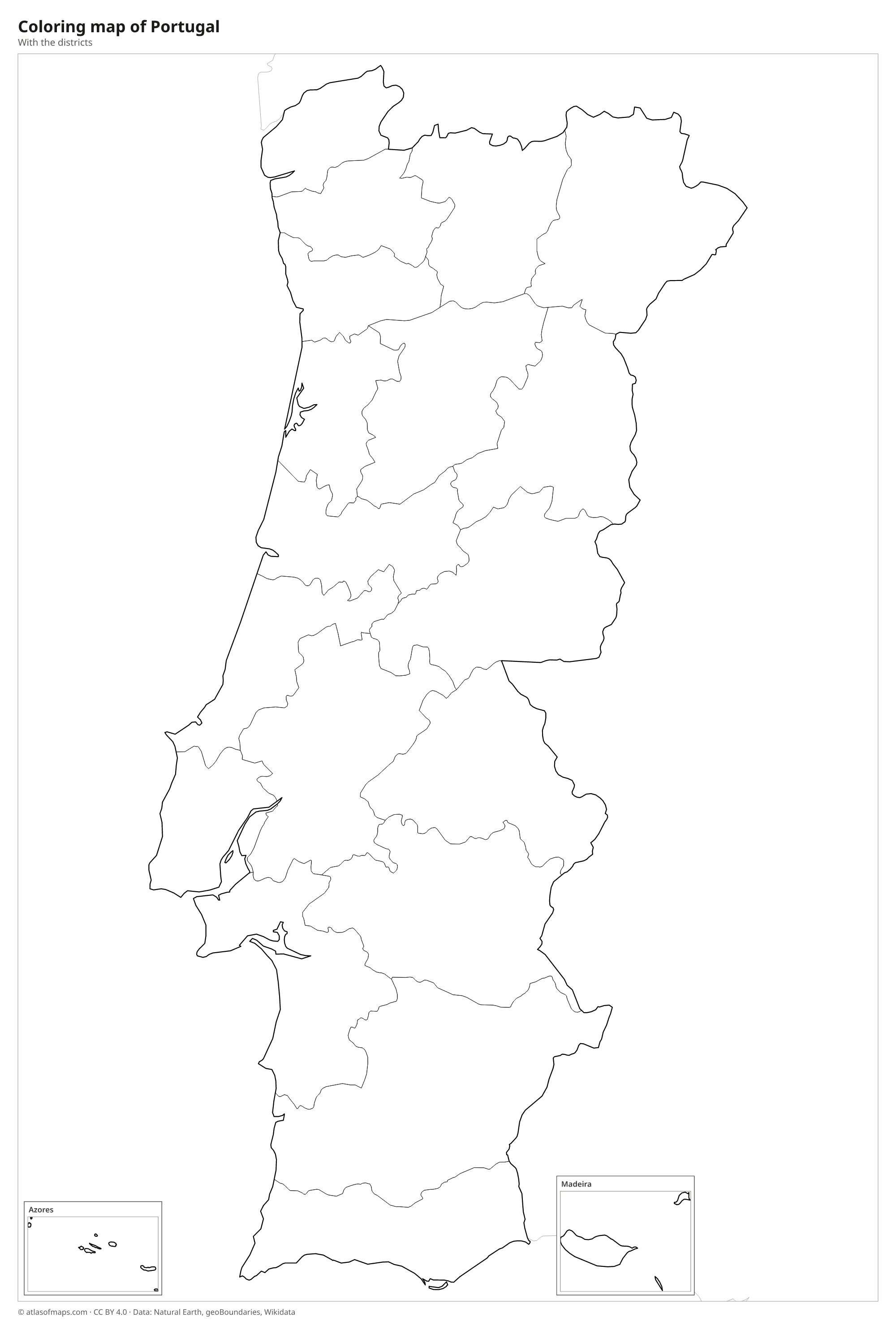
Coloring map of Portugal

Geography of Portugal
Mainland Portugal is long and narrow. The north is hilly and green, crossed by granite ranges, and the Serra da Estrela in the center is the highest range on the mainland. South of the Tagus River the land flattens into the rolling plains of the Alentejo, dotted with cork oaks and olive groves, and ends in the Algarve, a southern coast of cliffs, coves and beaches. Portugal's highest point is not on the mainland but on the island of Pico in the Azores: Mount Pico, a volcano rising to 2,351 m (7,713 ft).
The major rivers rise in Spain and flow west to the Atlantic: the Douro, whose terraced valley produces port wine, the Tagus, which ends in a wide estuary at Lisbon, and the Guadiana, which forms part of the border in the south. The Atlantic coast is long, with sandy beaches, lagoons and headlands such as Cabo da Roca, the westernmost point of mainland Europe. The climate is Mediterranean, with warm, dry summers, and cooler and wetter in the north. The Azores are a volcanic archipelago in the mid-Atlantic, and Madeira lies west of Morocco.
Fun facts
- The border between Portugal and Spain is one of the oldest in Europe, largely set by a treaty in 1297.
- Nazaré, on the central coast, is known for giant surfing waves caused by a deep underwater canyon offshore.
- The Azores lie near the meeting point of the Eurasian, North American and African tectonic plates.
Flag of Portugal
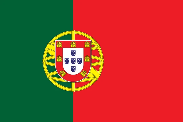
The flag of Portugal is divided vertically into green at the hoist and red at the fly, with the red part larger. Centered on the line between them is the national coat of arms: a yellow armillary sphere with a shield on top, red with seven yellow castles around a white center holding five small blue shields.
Countries bordering Portugal
Frequently asked questions
What countries border Portugal?
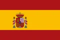
Portugal borders only one country, Spain, which lies to the north and east. The rest of the mainland faces the Atlantic Ocean to the west and south.
How many districts does Portugal have?
Portugal has 18 districts on the mainland plus 2 autonomous regions, the Azores and Madeira. The autonomous regions are archipelagos in the Atlantic Ocean with their own governments.
Where are the Azores and Madeira?
Both are Portuguese archipelagos in the Atlantic Ocean. The Azores lie far west of Lisbon in the middle of the North Atlantic, while Madeira lies farther south, off the coast of Morocco.
What is the capital of Portugal?
The capital of Portugal is Lisbon.
What language is spoken in Portugal?
The official language is Portuguese.
Can I print the map of Portugal?
Yes. Every map on this page can be downloaded for free as PNG or PDF (US Letter) and printed, including the blank map and the coloring map. Please credit the source (Atlas of Maps, CC BY 4.0).
Use this map
You can download, print and share this map for free, in class, in school projects, in presentations and on websites, as long as you credit the source: Map of Portugal · Atlas of Maps (atlasofmaps.com), license CC BY 4.0.
See also: Map of Europe · Map of the European Union · World map