Map of Puerto Rico
Puerto Rico is a Caribbean island territory of the United States, the smallest and easternmost of the Greater Antilles. It lies between the Atlantic Ocean to the north and the Caribbean Sea to the south, east of the Dominican Republic and west of the US Virgin Islands.
Unincorporated territory (commonwealth) of the United States.

- Capital
- San Juan
- Population
- 3.3 million (2020)
- Area
- 9,104 km² (3,515 sq mi)
- Population density
- 361 per km² (935 per sq mi)
- Official languages
- Spanish and English
- Currency
- United States dollar
- Demonym
- Puerto Rican
- Highest point
- Cerro de Punta (1,338 m (4,390 ft))
- Calling code
- +1787
- Internet domain
- .pr
- Official name
- Commonwealth of Puerto Rico
Where is Puerto Rico?
Puerto Rico is a Caribbean island territory of the United States, the smallest and easternmost of the Greater Antilles. It lies between the Atlantic Ocean to the north and the Caribbean Sea to the south, east of the Dominican Republic and west of the US Virgin Islands.

Blank and coloring maps of Puerto Rico
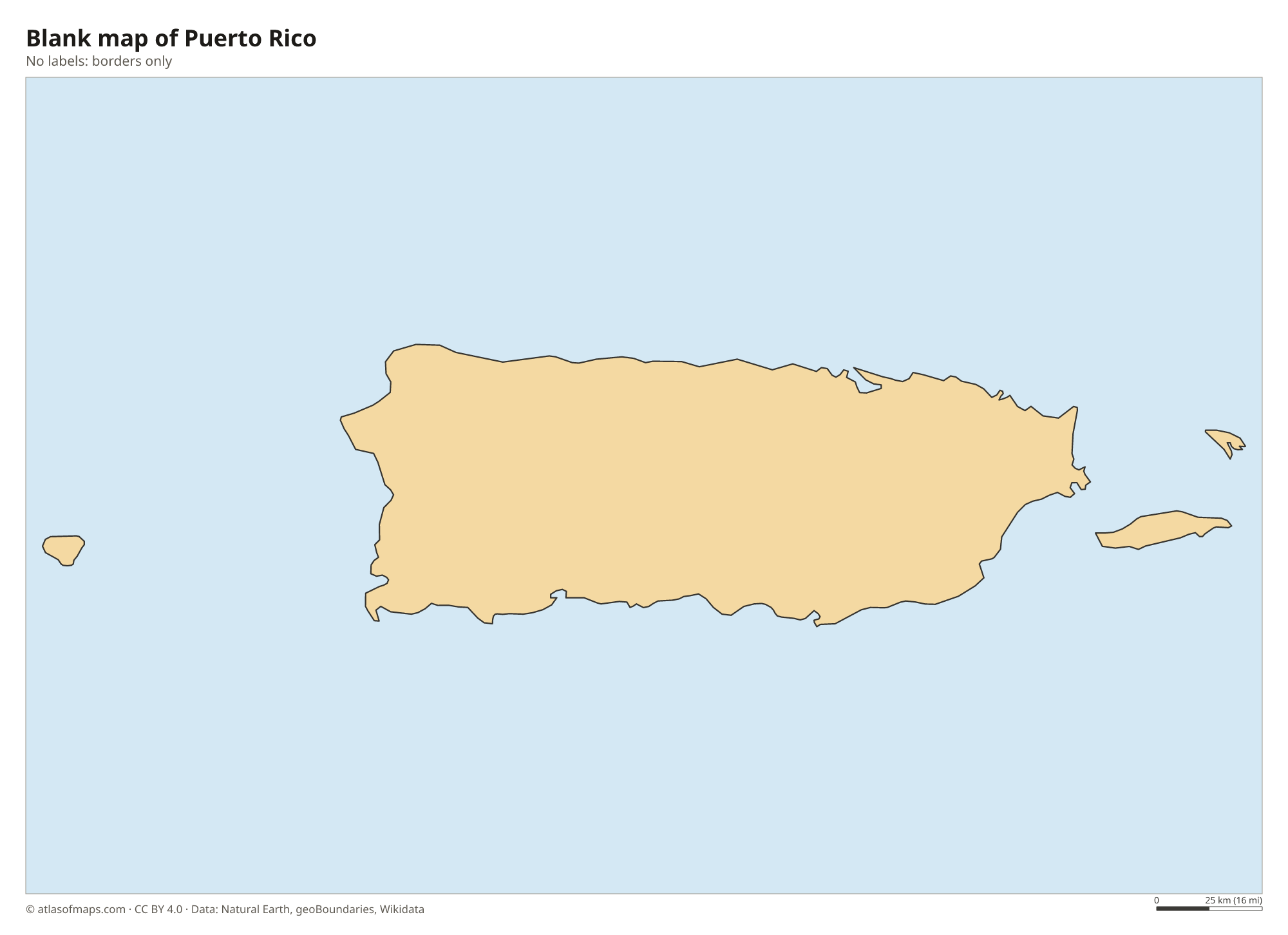
Blank map of Puerto Rico

Coloring map of Puerto Rico

Geography of Puerto Rico
The main island is roughly rectangular. Its interior is mountainous: the Cordillera Central runs from east to west and holds the highest point, Cerro de Punta, at 1,338 m (4,390 ft), while the Sierra de Luquillo in the northeast is home to El Yunque, a tropical rainforest. In the northwest, a karst region of limestone hills, sinkholes and caves includes the Río Camuy Cave Park. Coastal plains ring the island. Puerto Rico also includes smaller islands, among them Vieques and Culebra to the east and Mona to the west.
Rivers are short and flow from the mountains to the north or south coast, and many have been dammed for water supply and power. The north coast faces the Atlantic, while the south coast is drier and sunnier because it lies in the rain shadow of the Cordillera Central. Mangroves, coral reefs and glowing bioluminescent bays, such as Mosquito Bay on Vieques, line the shores. The climate is tropical and warm all year, and the island lies in the path of Atlantic hurricanes, which are most likely from June to November.
Fun facts
- El Yunque is the only tropical rainforest in the United States National Forest System.
- The Puerto Rico Trench, north of the island, holds the deepest point of the Atlantic Ocean.
- Puerto Rico had about 3.29 million residents in 2020.
Flag of Puerto Rico
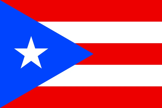
The flag of Puerto Rico has five equal horizontal stripes, three red and two white, alternating with red at the top and bottom. At the hoist is a blue equilateral triangle holding a single white five-pointed star. The design resembles the flag of Cuba with the colors of the stripes and triangle swapped.
Frequently asked questions
Is Puerto Rico a country?
Puerto Rico is not an independent country. It is an unincorporated territory of the United States, also called a commonwealth, with its own constitution and government, and its people are US citizens.
What is the capital of Puerto Rico?
The capital and largest city is San Juan, on the north coast facing the Atlantic Ocean. Its historic district, Old San Juan, sits on a small island at the entrance to San Juan Bay.
Where is Puerto Rico located?
Puerto Rico is in the northeastern Caribbean, about 1,600 km (1,000 mi) southeast of Miami. The Mona Passage separates it from the Dominican Republic on the island of Hispaniola to the west.
What countries border Puerto Rico?
Puerto Rico has no land borders with other countries.
What language is spoken in Puerto Rico?
The official languages are Spanish and English.
Can I print the map of Puerto Rico?
Yes. Every map on this page can be downloaded for free as PNG or PDF (US Letter) and printed, including the blank map and the coloring map. Please credit the source (Atlas of Maps, CC BY 4.0).
Use this map
You can download, print and share this map for free, in class, in school projects, in presentations and on websites, as long as you credit the source: Map of Puerto Rico · Atlas of Maps (atlasofmaps.com), license CC BY 4.0.
See also: Map of North America · Map of the Caribbean · Map of Latin America · World map