Map of Qatar with municipalities and capitals
Qatar is a country in the Middle East, in western Asia, on a small peninsula that juts north into the Persian Gulf from the Arabian Peninsula. Its only land border is with Saudi Arabia to the south. The political map shows its 8 municipalities, the capital, Doha, and major cities.

- Capital
- Doha
- Population
- 2.6 million (2017)
- Area
- 11,437 km² (4,416 sq mi)
- Population density
- 231 per km² (598 per sq mi)
- Official language
- Arabic
- Currency
- Qatari riyal
- Demonym
- Qatari
- Municipalities
- 8
- Highest point
- Qurayn Abu al Bawl (103 m (338 ft))
- Calling code
- +974
- Internet domain
- .qa
Where is Qatar?
Qatar is a country in the Middle East, in western Asia, on a small peninsula that juts north into the Persian Gulf from the Arabian Peninsula. Its only land border is with Saudi Arabia to the south.
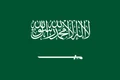
Neighboring countries: Saudi Arabia.

Municipalities of Qatar
Qatar is divided into 8 municipalities, shown on the map. Doha, the capital, forms a municipality of its own, and most of the population lives in and around it, in Doha, Al Rayyan and Al Wakrah.
| Municipality | Area |
|---|---|
| Al Daayen | 257 km² (99 sq mi) |
| Al Khor and Al Thakhira | 1,576 km² (608 sq mi) |
| Al Rayyan | 2,294 km² (886 sq mi) |
| Al Shamal | 825 km² (319 sq mi) |
| Al Sheehaniya | 3,315 km² (1,280 sq mi) |
| Al Wakrah | 2,267 km² (875 sq mi) |
| Doha | 135 km² (52 sq mi) |
| Umm Salal | 325 km² (125 sq mi) |
Blank and coloring maps of Qatar
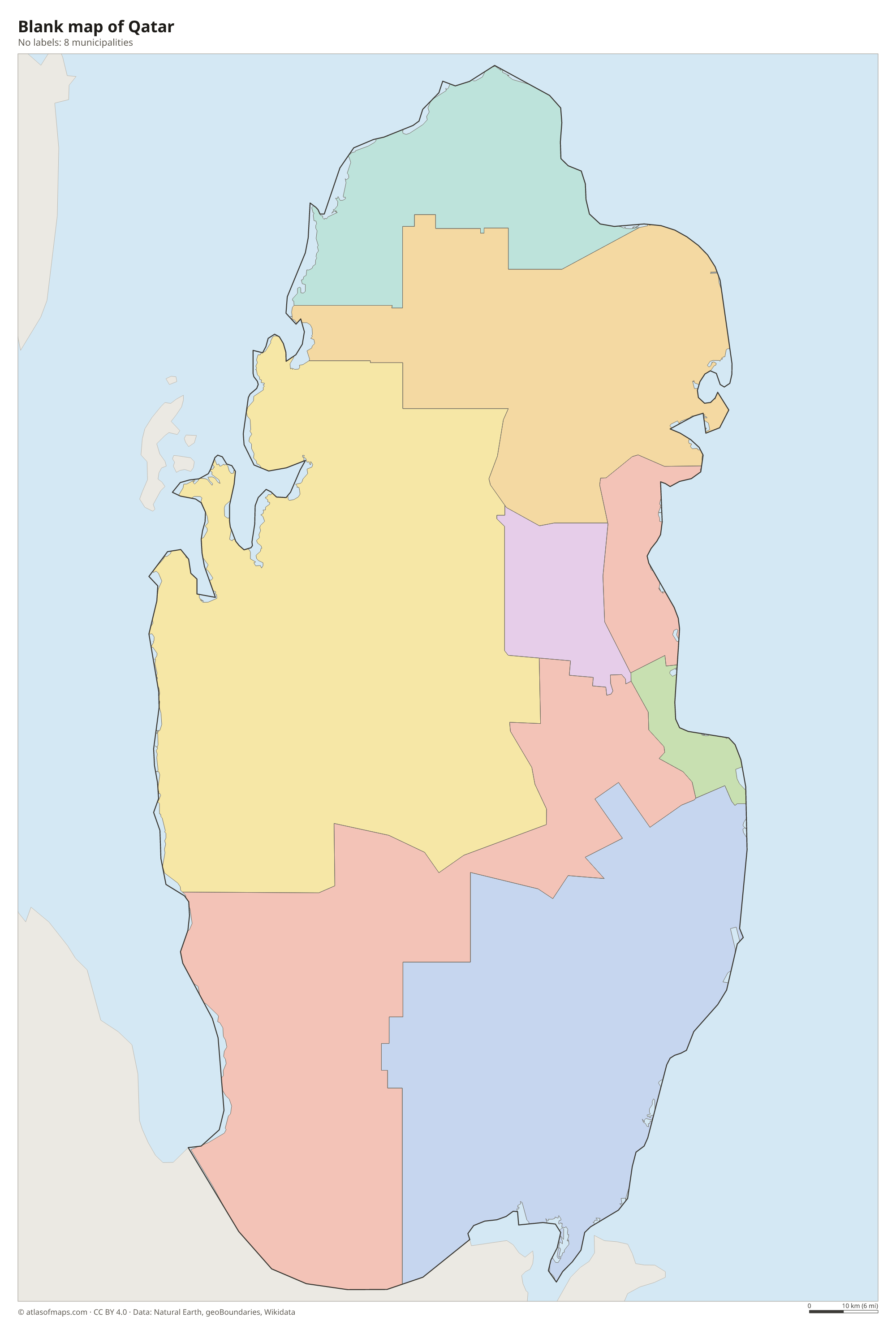
Blank map of Qatar

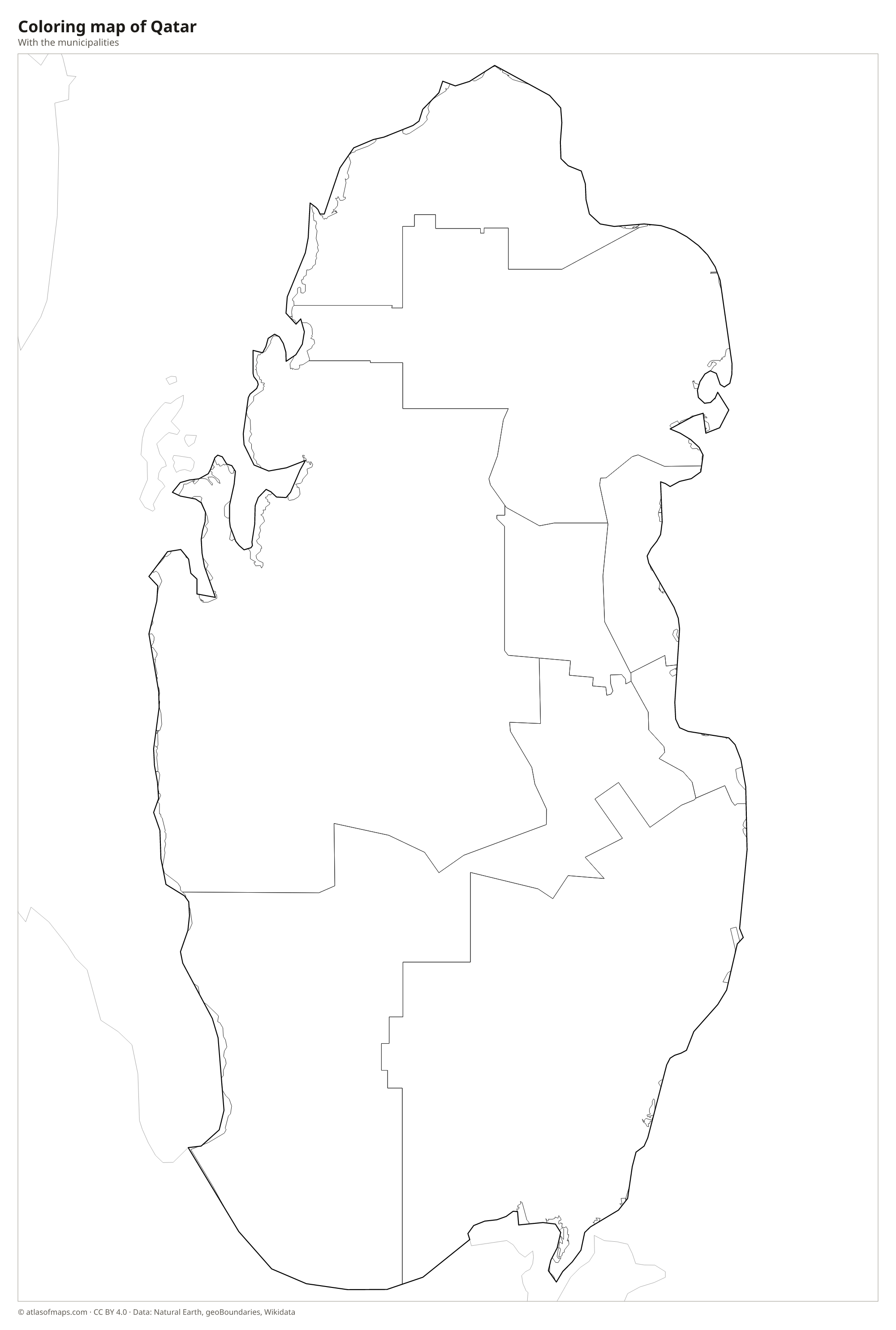
Coloring map of Qatar

Geography of Qatar
Qatar is mostly low, flat desert of gravel and sand, with salt flats called sabkhas near the coasts. The land rises gently toward the west, where the Dukhan area has low limestone ridges, but the highest point, Qurayn Abu al Bawl, reaches just 103 m (338 ft). In the southeast, tall sand dunes surround Khor Al Adaid, the Inland Sea, a tidal inlet that cuts deep into the desert. Several small islands lie offshore, and the island country of Bahrain lies a short distance to the northwest across the Gulf of Bahrain.
Qatar has no rivers or lakes, and most of its fresh water comes from desalination plants on the coast. The climate is hot and dry: summers are extremely hot and often humid, while winters are mild with occasional rain. Mangroves grow along parts of the northeast coast near Al Khor, and the shallow coastal waters have coral reefs and seagrass beds that support large groups of dugongs. Huge reserves of natural gas lie beneath the sea in the North Field, which Qatar shares with Iran.
Fun facts
- Qatar's flag closely resembles Bahrain's, which is red with five white points.
- Khor Al Adaid is one of the few places in the world where high sand dunes run straight down into the sea.
- In 2022, Qatar became the first country in the Middle East to host the FIFA World Cup.
Flag of Qatar
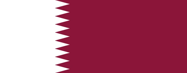
The flag of Qatar is maroon with a vertical white band at the hoist. The two colors are separated by a serrated, zigzag line with nine white points reaching into the maroon. The flag is unusually long and narrow, more than twice as wide as it is tall.
Countries bordering Qatar
Frequently asked questions
What country borders Qatar?
Qatar's only land neighbor is Saudi Arabia, along a short border in the south. Bahrain lies to the northwest across the Gulf of Bahrain, and the United Arab Emirates lies to the southeast.
How many municipalities does Qatar have?
Qatar has 8 municipalities: Doha, Al Rayyan, Al Wakrah, Al Khor and Al Thakhira, Al Shamal, Al Daayen, Umm Salal and Al Sheehaniya.
What is the capital of Qatar?
The capital and by far the largest city is Doha, on the east coast of the peninsula. Most of Qatar's population lives in the Doha metropolitan area.
What language is spoken in Qatar?
The official language is Arabic.
Can I print the map of Qatar?
Yes. Every map on this page can be downloaded for free as PNG or PDF (US Letter) and printed, including the blank map and the coloring map. Please credit the source (Atlas of Maps, CC BY 4.0).
Use this map
You can download, print and share this map for free, in class, in school projects, in presentations and on websites, as long as you credit the source: Map of Qatar · Atlas of Maps (atlasofmaps.com), license CC BY 4.0.
See also: Map of Asia · Map of the Middle East · World map