Map of Saudi Arabia with provinces and capitals
Saudi Arabia is a country in the Middle East, in western Asia, that covers most of the Arabian Peninsula. It borders Jordan, Iraq, Kuwait, Qatar, the United Arab Emirates, Oman and Yemen, and has coasts on the Red Sea and the Persian Gulf. The political map shows its 13 provinces, the capital, Riyadh, and major cities.

- Capital
- Riyadh
- Population
- 33 million (2018)
- Area
- 2,250,000 km² (868,730 sq mi)
- Population density
- 15 per km² (38 per sq mi)
- Official language
- Arabic
- Currency
- Saudi riyal
- Demonym
- Saudi Arabian
- Provinces
- 13
- Highest point
- Jabal Sawda (3,133 m (10,279 ft))
- Calling code
- +966
- Internet domain
- .sa
- Official name
- Kingdom of Saudi Arabia
Where is Saudi Arabia?
Saudi Arabia is a country in the Middle East, in western Asia, that covers most of the Arabian Peninsula. It borders Jordan, Iraq, Kuwait, Qatar, the United Arab Emirates, Oman and Yemen, and has coasts on the Red Sea and the Persian Gulf.
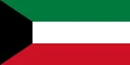
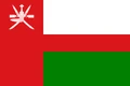
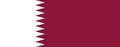
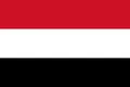
Neighboring countries: United Arab Emirates, Iraq, Jordan, Kuwait, Oman, Qatar, Yemen.

Provinces of Saudi Arabia and their capitals
Saudi Arabia is divided into 13 provinces, also called regions, shown on the map. Each has a capital city: Riyadh Province surrounds the national capital, Makkah Province includes Mecca and Jeddah, and Al Madinah Province includes Medina.
| Province | Capital | Population | Area |
|---|---|---|---|
| 'Asir | Abha | 2,211,875 | 81,000 km² (31,274 sq mi) |
| Al Madinah | Medina | 2,132,679 | 151,990 km² (58,684 sq mi) |
| Al-Baha | Al Bahah | 476,172 | 9,921 km² (3,831 sq mi) |
| Al-Jowf | Sakakah | 508,475 | 100,212 km² (38,692 sq mi) |
| Al-Qassim | Burayda | 961,428 | 58,046 km² (22,412 sq mi) |
| Eastern | Dammam | 4,105,780 | 672,522 km² (259,662 sq mi) |
| Ha'il | Ha'il | 467,338 | 103,887 km² (40,111 sq mi) |
| Jazan | Jizan | 1,567,547 | 13,457 km² (5,196 sq mi) |
| Makkah | Mecca | 5,117,422 | 153,148 km² (59,131 sq mi) |
| Najran | Najran | 392,638 | 119,000 km² (45,946 sq mi) |
| Northern Borders | Arar | 245,345 | 111,797 km² (43,165 sq mi) |
| Riyadh | Riyadh | 6,777,146 | 412,000 km² (159,074 sq mi) |
| Tabuk | Tabuk | 527,440 | 108,000 km² (41,699 sq mi) |
Population from Wikidata (latest figure available for each province).
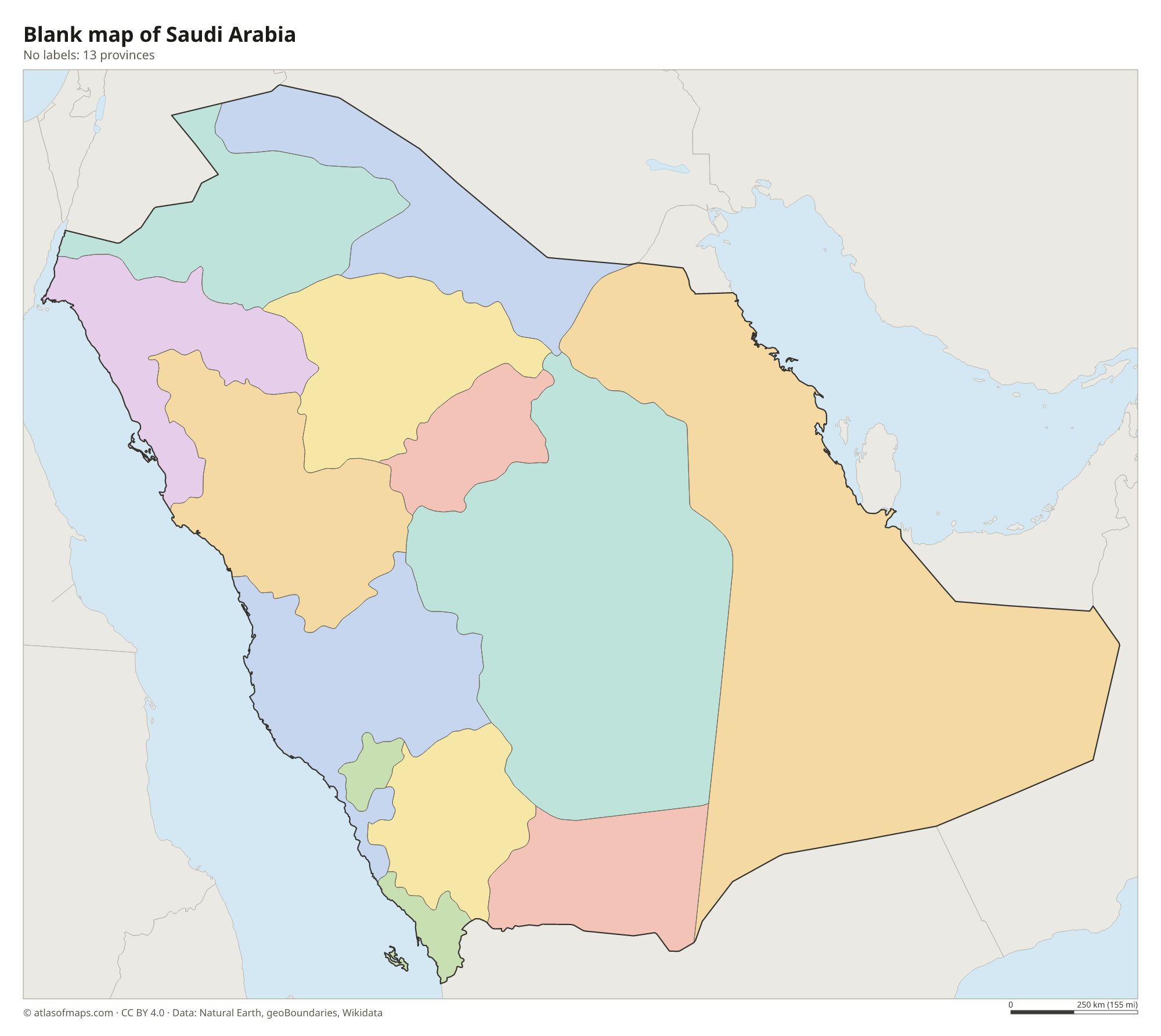
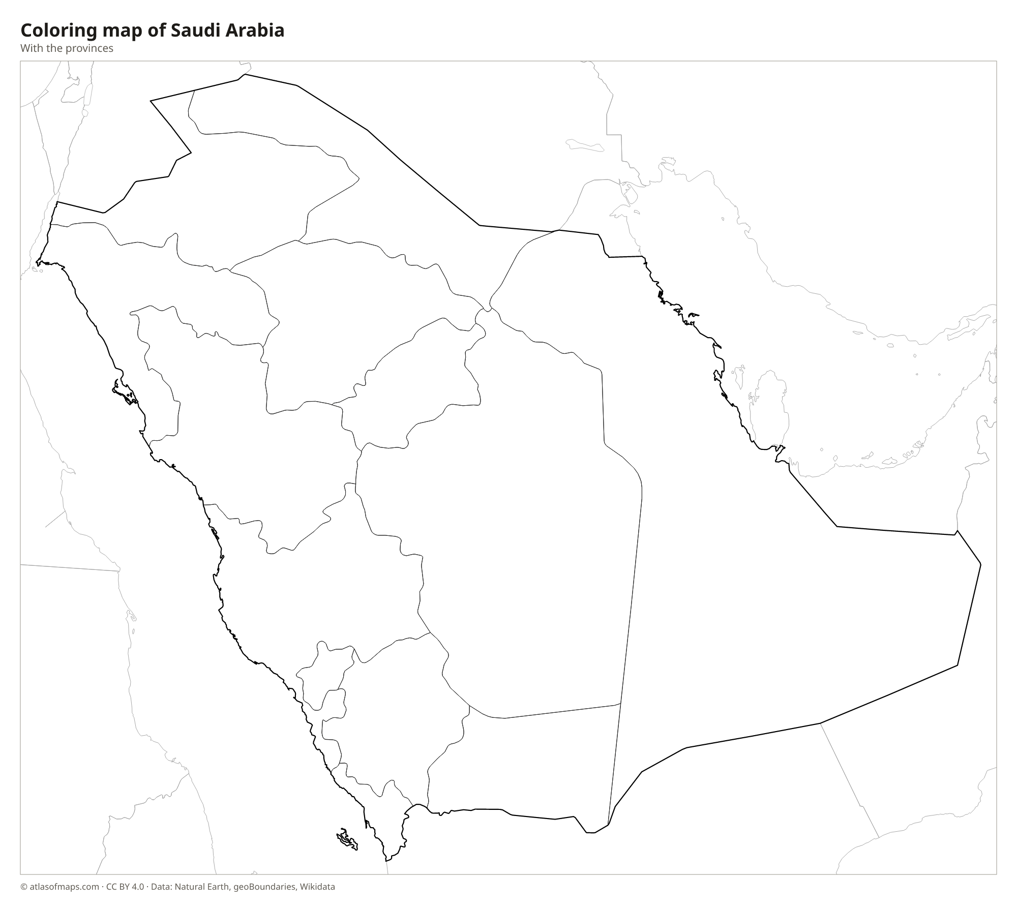
Blank and coloring maps of Saudi Arabia
Blank map of Saudi Arabia

Coloring map of Saudi Arabia

Geography of Saudi Arabia
Most of Saudi Arabia is desert. In the west, mountains run parallel to the Red Sea: the Hejaz in the north and the higher Asir in the south, where Jabal Sawda is the highest point at 3,133 m (10,279 ft). A narrow coastal plain, the Tihamah, lines the Red Sea. East of the mountains, the Najd plateau forms the center of the country around Riyadh. The Rub' al Khali, or Empty Quarter, in the south is the largest continuous sand desert in the world, and the Nafud desert lies in the north.
Saudi Arabia has no permanent rivers or lakes. Dry riverbeds called wadis fill only after rare rains, and water comes from deep underground aquifers and desalination plants. Oases such as Al-Ahsa in the east have supported farming for thousands of years. The climate is very hot and dry, with extreme summer heat in the interior, although the Asir highlands are cooler and receive more rain. The Red Sea coast has coral reefs, and the low Persian Gulf coast has salt flats and the huge oil fields of the Eastern Province.
Fun facts
- Saudi Arabia is the largest country in the world without a permanent river.
- The Rub' al Khali, or Empty Quarter, extends beyond Saudi Arabia into Oman, the United Arab Emirates and Yemen.
- The King Fahd Causeway links Saudi Arabia with the island country of Bahrain.
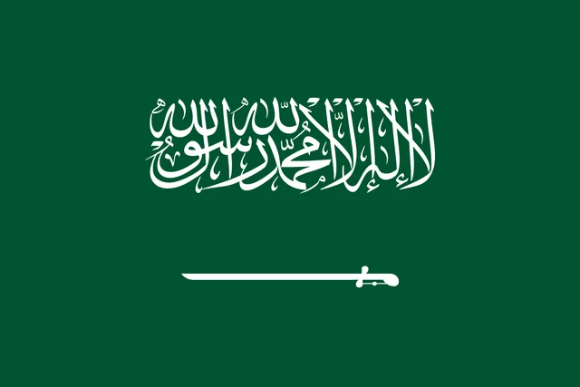
Flag of Saudi Arabia
The flag of Saudi Arabia is green with white Arabic writing and a white sword. The inscription is the shahada, the Islamic declaration of faith: There is no god but God, and Muhammad is the Messenger of God. Below it lies a horizontal sword with its blade pointing toward the hoist.
Countries bordering Saudi Arabia
Frequently asked questions
What countries border Saudi Arabia?
Saudi Arabia borders seven countries: Jordan, Iraq and Kuwait to the north, Qatar and the United Arab Emirates to the east, Oman to the southeast and Yemen to the south.
How many provinces does Saudi Arabia have?
Saudi Arabia has 13 provinces, also called regions. The most populous are Riyadh and Makkah, and the largest by area is the Eastern Province along the Persian Gulf.
What is the capital of Saudi Arabia?
The capital and largest city is Riyadh, on the Najd plateau in the center of the country. Jeddah, on the Red Sea, is the second-largest city and the main port.
What language is spoken in Saudi Arabia?
The official language is Arabic.
Can I print the map of Saudi Arabia?
Yes. Every map on this page can be downloaded for free as PNG or PDF (US Letter) and printed, including the blank map and the coloring map. Please credit the source (Atlas of Maps, CC BY 4.0).
Use this map
You can download, print and share this map for free, in class, in school projects, in presentations and on websites, as long as you credit the source: Map of Saudi Arabia · Atlas of Maps (atlasofmaps.com), license CC BY 4.0.
See also: Map of Asia · Map of the Middle East · World map