Map of Suriname with regions and capitals
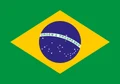
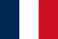
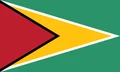
Suriname is a small country on the northeastern coast of South America, facing the Atlantic Ocean. It borders Guyana to the west, Brazil to the south and French Guiana, an overseas region of France, to the east. The political map shows its 10 regions, the capital, Paramaribo, and major cities.

- Capital
- Paramaribo
- Population
- 563,402 (2017)
- Area
- 163,270 km² (63,039 sq mi)
- Population density
- 3 per km² (9 per sq mi)
- Official language
- Dutch
- Currency
- Surinamese dollar
- Demonym
- Surinamese
- Regions
- 10
- Highest point
- Julianatop (1,280 m (4,199 ft))
- Calling code
- +597
- Internet domain
- .sr
Where is Suriname?
Suriname is a small country on the northeastern coast of South America, facing the Atlantic Ocean. It borders Guyana to the west, Brazil to the south and French Guiana, an overseas region of France, to the east.

Regions of Suriname and their capitals
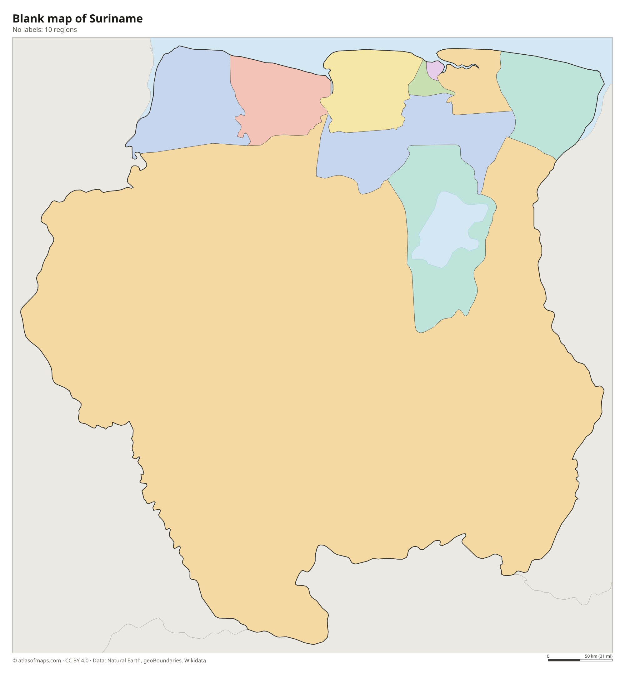
Suriname is divided into 10 districts, shown as regions on the map. The capital district of Paramaribo is the smallest but the most populous, while Sipaliwini covers almost the entire forested interior in the south.
| Region | Capital | Population | Area |
|---|---|---|---|
| Brokopondo | Brokopondo | 8,340 | 7,364 km² (2,843 sq mi) |
| Commewijne | Nieuw Amsterdam | — | 2,353 km² (908 sq mi) |
| Coronie | Totness | — | 3,902 km² (1,507 sq mi) |
| Marowijne | Albina | 18,294 | 4,627 km² (1,786 sq mi) |
| Nickerie | Nieuw Nickerie | — | 5,353 km² (2,067 sq mi) |
| Para | Onverwacht | — | 5,393 km² (2,082 sq mi) |
| Paramaribo | Paramaribo | 242,946 | 182 km² (70 sq mi) |
| Saramacca | Groningen | — | 3,636 km² (1,404 sq mi) |
| Sipaliwini | — | 37,065 | 130,567 km² (50,412 sq mi) |
| Wanica | Lelydorp | — | 443 km² (171 sq mi) |
Population from Wikidata (latest figure available for each region).
Blank and coloring maps of Suriname
Blank map of Suriname

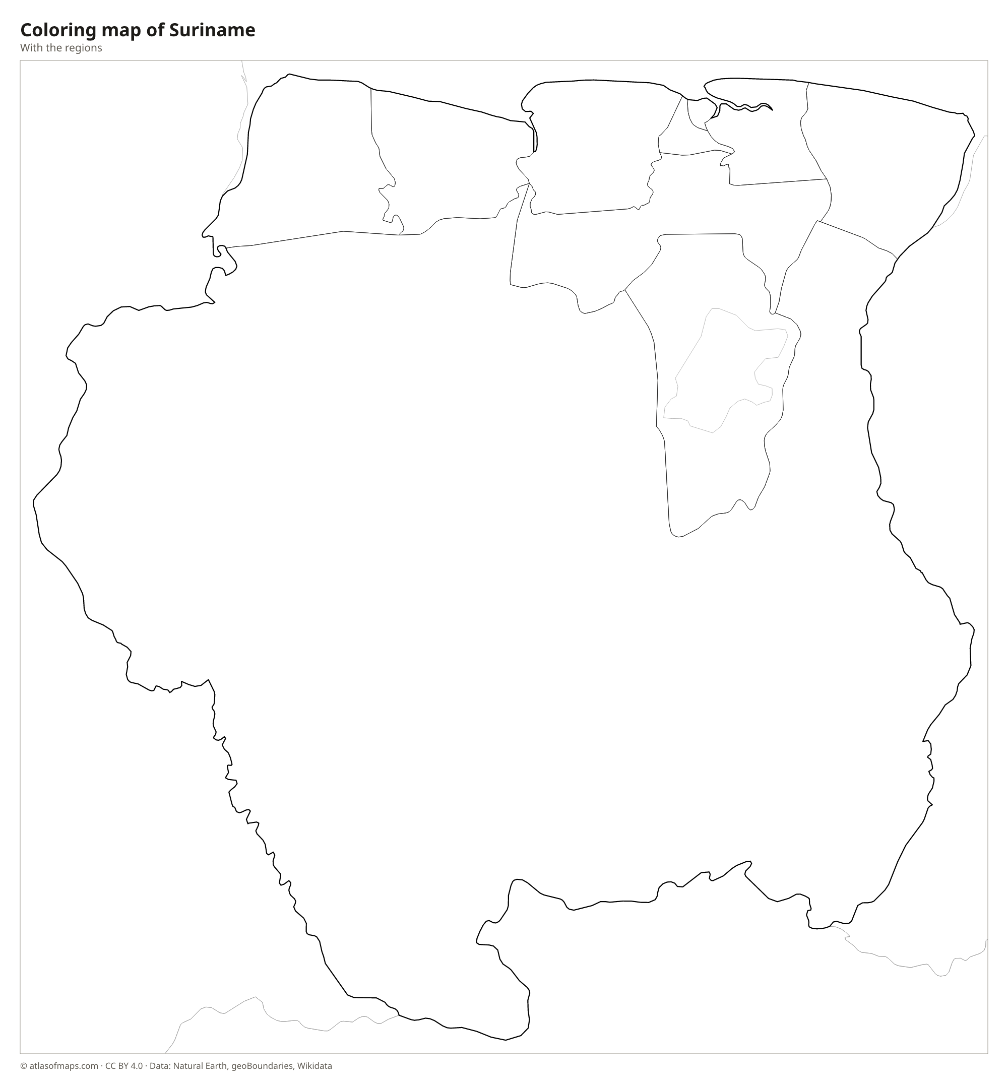
Coloring map of Suriname

Geography of Suriname
Suriname covers about 163,270 km² (63,039 sq mi), which makes it the smallest independent country in South America. Behind a flat coastal plain of clay, swamps and mangroves lies a belt of old sandy ridges and savanna. The rest of the country, by far the largest part, belongs to the Guiana Shield, an ancient rock plateau covered in dense tropical rainforest. Low mountain ranges rise from the forest in the interior, and Julianatop in the Wilhelmina Mountains is the highest point at 1,280 m (4,199 ft).
Large rivers run north to the Atlantic. The Courantyne (Corantijn) forms the border with Guyana, the Marowijne (Maroni) and its upper course, the Lawa, form the border with French Guiana, and the Suriname River passes Paramaribo near its mouth. A dam on the Suriname River created the Brokopondo Reservoir, a huge artificial lake that flooded part of the rainforest. Suriname has a hot, humid tropical climate with two rainy seasons, and nearly all of its people live on the narrow coastal strip, leaving the forested south almost empty.
Fun facts
- Suriname is the only country in South America where Dutch is the official language.
- The historic inner city of Paramaribo, with its wooden colonial buildings, is a UNESCO World Heritage Site.
- Tropical rainforest covers most of Suriname, giving it one of the highest shares of forest cover of any country in the world.
Flag of Suriname
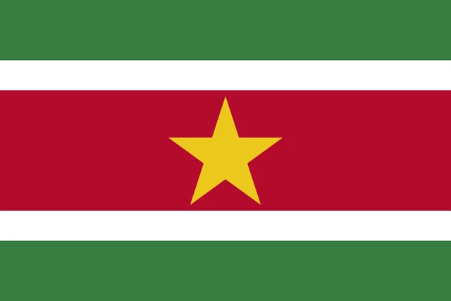
The flag of Suriname has five horizontal stripes: green at the top and bottom, thin white stripes next to them, and a broad red stripe in the middle that is twice as tall as each green stripe. A large yellow five-pointed star sits in the center of the red band.
Countries bordering Suriname
Frequently asked questions
What countries border Suriname?
Suriname borders Guyana to the west, Brazil to the south and French Guiana to the east. Because French Guiana is part of France, the eastern border is also a border with France.
How many districts does Suriname have?
Suriname has 10 districts: Brokopondo, Commewijne, Coronie, Marowijne, Nickerie, Para, Paramaribo, Saramacca, Sipaliwini and Wanica. Sipaliwini, in the south, is by far the largest.
What is the capital of Suriname?
The capital of Suriname is Paramaribo, a port on the Suriname River close to the Atlantic coast. It is also the country's largest city and home to a large share of its people.
How many regions does Suriname have?
Suriname is divided into 10 regions: Brokopondo, Commewijne, Coronie, Marowijne, Nickerie, Para, Paramaribo, Saramacca, Sipaliwini, and Wanica.
What language is spoken in Suriname?
The official language is Dutch.
Can I print the map of Suriname?
Yes. Every map on this page can be downloaded for free as PNG or PDF (US Letter) and printed, including the blank map and the coloring map. Please credit the source (Atlas of Maps, CC BY 4.0).
Use this map
You can download, print and share this map for free, in class, in school projects, in presentations and on websites, as long as you credit the source: Map of Suriname · Atlas of Maps (atlasofmaps.com), license CC BY 4.0.
See also: Map of South America · World map