Map of the Gambia
The Gambia is the smallest country on mainland Africa, a narrow strip of land in West Africa along the Gambia River. It is surrounded by Senegal on three sides and opens onto the Atlantic Ocean in the west. The political map shows its regions, the capital, Banjul, and major cities.

- Capital
- Banjul
- Population
- 2.6 million (2021)
- Area
- 11,300 km² (4,363 sq mi)
- Population density
- 234 per km² (605 per sq mi)
- Official language
- English
- Currency
- dalasi
- Demonym
- Gambian
- Calling code
- +220
- Internet domain
- .gm
- Official name
- Republic of The Gambia
Where is the Gambia?
The Gambia is the smallest country on mainland Africa, a narrow strip of land in West Africa along the Gambia River. It is surrounded by Senegal on three sides and opens onto the Atlantic Ocean in the west.
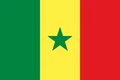
Neighboring countries: Senegal.

Regions of the Gambia and their capitals
The map shows the Gambia's administrative areas as recorded by Natural Earth, which may not match the latest boundaries. The country is organized into regions along the river, such as West Coast and Central River, plus the capital, Banjul, and the municipality of Kanifing.
The divisions on the map come from Natural Earth and may not reflect the latest territorial reform in the Gambia.
| Region | Capital | Population | Area |
|---|---|---|---|
| Banjul | Banjul | 31,356 | 12 km² (4.6 sq mi) |
| Central River | — | — | 2,894 km² (1,117 sq mi) |
| Lower River | — | — | 1,618 km² (625 sq mi) |
| North Bank | — | — | 2,256 km² (871 sq mi) |
| Upper River | Basse Santa Su | 198,773 | 2,070 km² (799 sq mi) |
| West Coast | Brikama | — | 1,764 km² (681 sq mi) |
Population from Wikidata (latest figure available for each region).
Blank and coloring maps of the Gambia
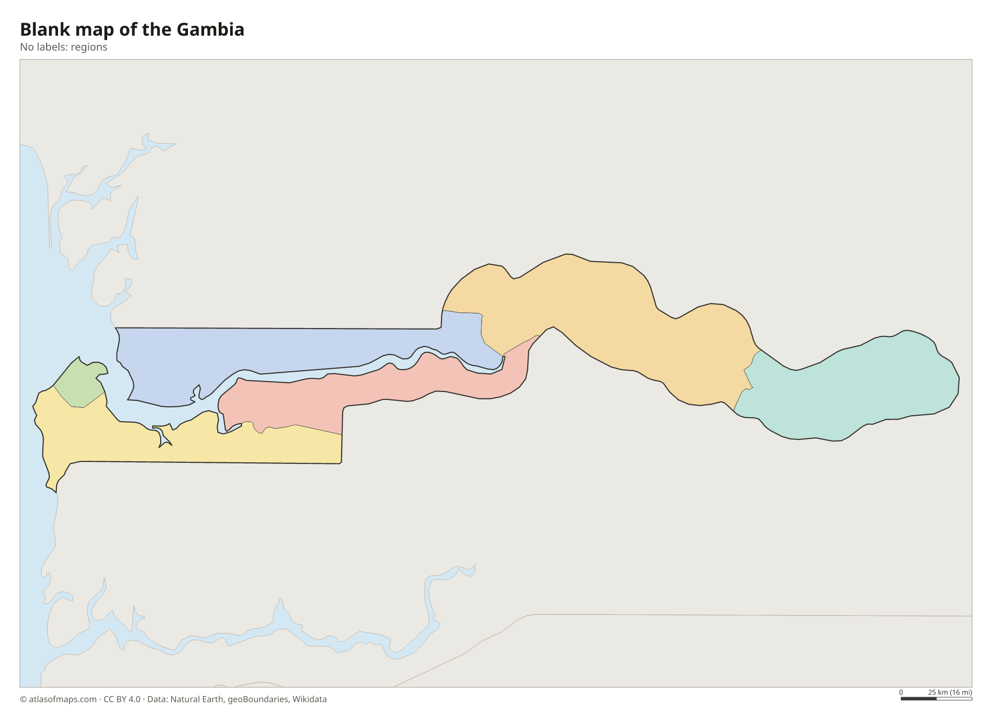
Blank map of the Gambia

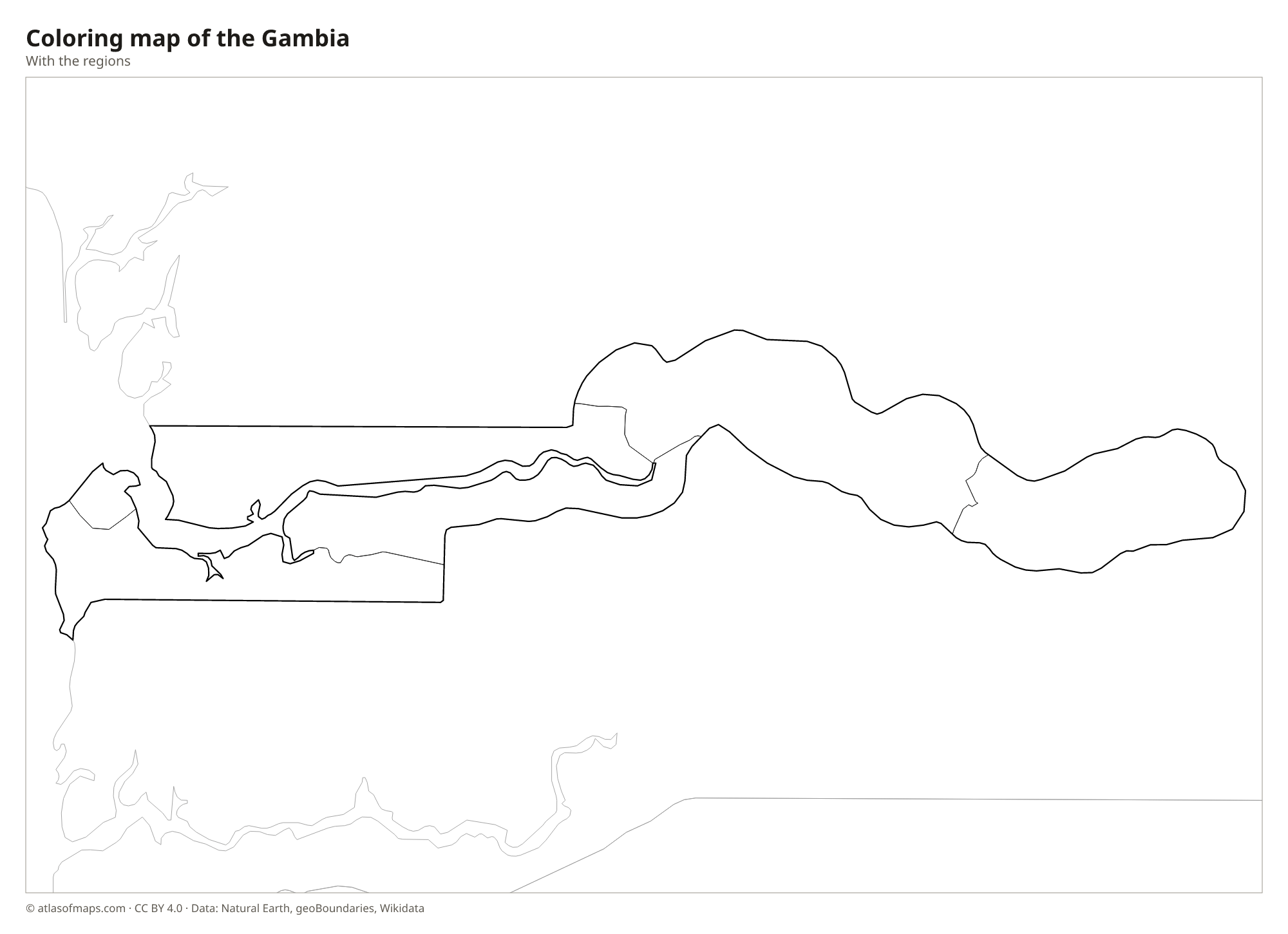
Coloring map of the Gambia

Geography of the Gambia
The Gambia covers 11,300 km² (4,363 sq mi) and follows the Gambia River far inland from the Atlantic coast. The country is at most about 50 km (30 mi) wide and consists of a strip of land along each bank of the river. The land is low and flat, with no mountains, and is covered mostly by savanna, open woodland and farmland. Near the coast, the river is lined with mangrove swamps and salt flats, while farther upstream low sandstone plateaus edge the valley.
The Gambia River rises in the highlands of Guinea, crosses Senegal and flows west through the whole country before reaching the Atlantic at Banjul, where its mouth is several kilometers wide. Ocean tides reach far upstream, and the lower river is salty. The climate is tropical, with a rainy season from about June to October and a long dry season, when the dusty harmattan wind blows from the Sahara. The short Atlantic coast has sandy beaches and most of the country's towns.
Fun facts
- Kunta Kinteh Island in the Gambia River, once a center of the Atlantic slave trade, is a UNESCO World Heritage Site.
- The Senegambian stone circles at Wassu and other sites form one of the largest concentrations of stone circles in the world.
- The Gambia's borders were drawn along the river by colonial powers in the 19th century, which explains its long, narrow shape.
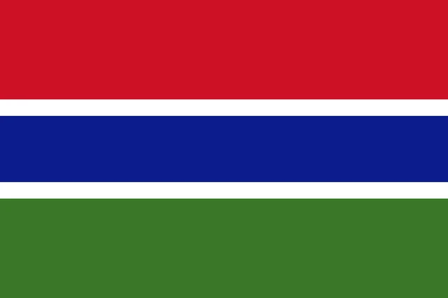
Flag of the Gambia
The flag of the Gambia has three horizontal stripes of red, blue and green, with red at the top. The blue stripe in the middle is edged by two thin white stripes and is narrower than the red and green ones. There is no emblem, and the proportions are 2:3.
Countries bordering the Gambia
Frequently asked questions
What countries border the Gambia?
The Gambia borders only one country, Senegal, which surrounds it on the north, east and south. Its western end opens onto the Atlantic Ocean.
Why is it called the Gambia?
The country is named after the Gambia River, which flows through its full length. The article is part of the official name, Republic of The Gambia, and helps distinguish it from Zambia.
What is the capital of the Gambia?
The capital is Banjul, on St. Mary's Island at the mouth of the Gambia River. The largest urban area is nearby Serekunda in the Kanifing municipality.
What language is spoken in the Gambia?
The official language is English.
Can I print the map of the Gambia?
Yes. Every map on this page can be downloaded for free as PNG or PDF (US Letter) and printed, including the blank map and the coloring map. Please credit the source (Atlas of Maps, CC BY 4.0).
Use this map
You can download, print and share this map for free, in class, in school projects, in presentations and on websites, as long as you credit the source: Map of the Gambia · Atlas of Maps (atlasofmaps.com), license CC BY 4.0.
See also: Map of Africa · World map