Map of Senegal
Senegal is a country in West Africa on the Atlantic coast, the westernmost country of the African mainland. It borders Mauritania to the north, Mali to the east and Guinea and Guinea-Bissau to the south, and almost surrounds the Gambia. The political map shows its regions, the capital, Dakar, and major cities.

- Capital
- Dakar
- Population
- 16.9 million (2021)
- Area
- 196,722 km² (75,955 sq mi)
- Population density
- 86 per km² (222 per sq mi)
- Official languages
- French, Wolof, Badyara, and Balanta
- Currency
- West African CFA franc
- Demonym
- Senegalese
- Highest point
- Népin Cliff (531 m (1,742 ft))
- Calling code
- +221
- Internet domain
- .sn
- Official name
- Republic of Senegal
Where is Senegal?
Senegal is a country in West Africa on the Atlantic coast, the westernmost country of the African mainland. It borders Mauritania to the north, Mali to the east and Guinea and Guinea-Bissau to the south, and almost surrounds the Gambia.
Neighboring countries: Guinea, Gambia, Guinea-Bissau, Mali, Mauritania.

Regions of Senegal and their capitals
Senegal is divided into regions, each named after its capital town, such as Dakar, Thiès, Saint-Louis and Ziguinchor. The divisions on the map come from Natural Earth and may not reflect the latest territorial reform.
The divisions on the map come from Natural Earth and may not reflect the latest territorial reform in Senegal.
| Region | Capital | Population | Area |
|---|---|---|---|
| Dakar | Dakar | 3,896,564 | 550 km² (212 sq mi) |
| Diourbel | Diourbel | 2,080,811 | 4,789 km² (1,849 sq mi) |
| Fatick | Fatick | 908,858 | 7,910 km² (3,054 sq mi) |
| Kaffrine | Kaffrine | 821,287 | 11,181 km² (4,317 sq mi) |
| Kaolack | Kaolack | 1,338,671 | 5,357 km² (2,068 sq mi) |
| Kédougou | Kédougou | 245,288 | 16,896 km² (6,524 sq mi) |
| Kolda | Kolda | 916,513 | 21,011 km² (8,112 sq mi) |
| Louga | Nguer Malal | 1,127,119 | 24,847 km² (9,593 sq mi) |
| Matam | Matam | 833,657 | 29,616 km² (11,435 sq mi) |
| Saint-Louis | Saint-Louis | 1,204,863 | 19,034 km² (7,349 sq mi) |
| Sédhiou | Sédhiou | 590,784 | 7,350 km² (2,838 sq mi) |
| Tambacounda | Tambacounda | 988,193 | 42,706 km² (16,489 sq mi) |
| Thiès | Thiès | 2,467,523 | 6,601 km² (2,549 sq mi) |
| Ziguinchor | Ziguinchor | 612,343 | 7,339 km² (2,834 sq mi) |
Population from Wikidata (latest figure available for each region).
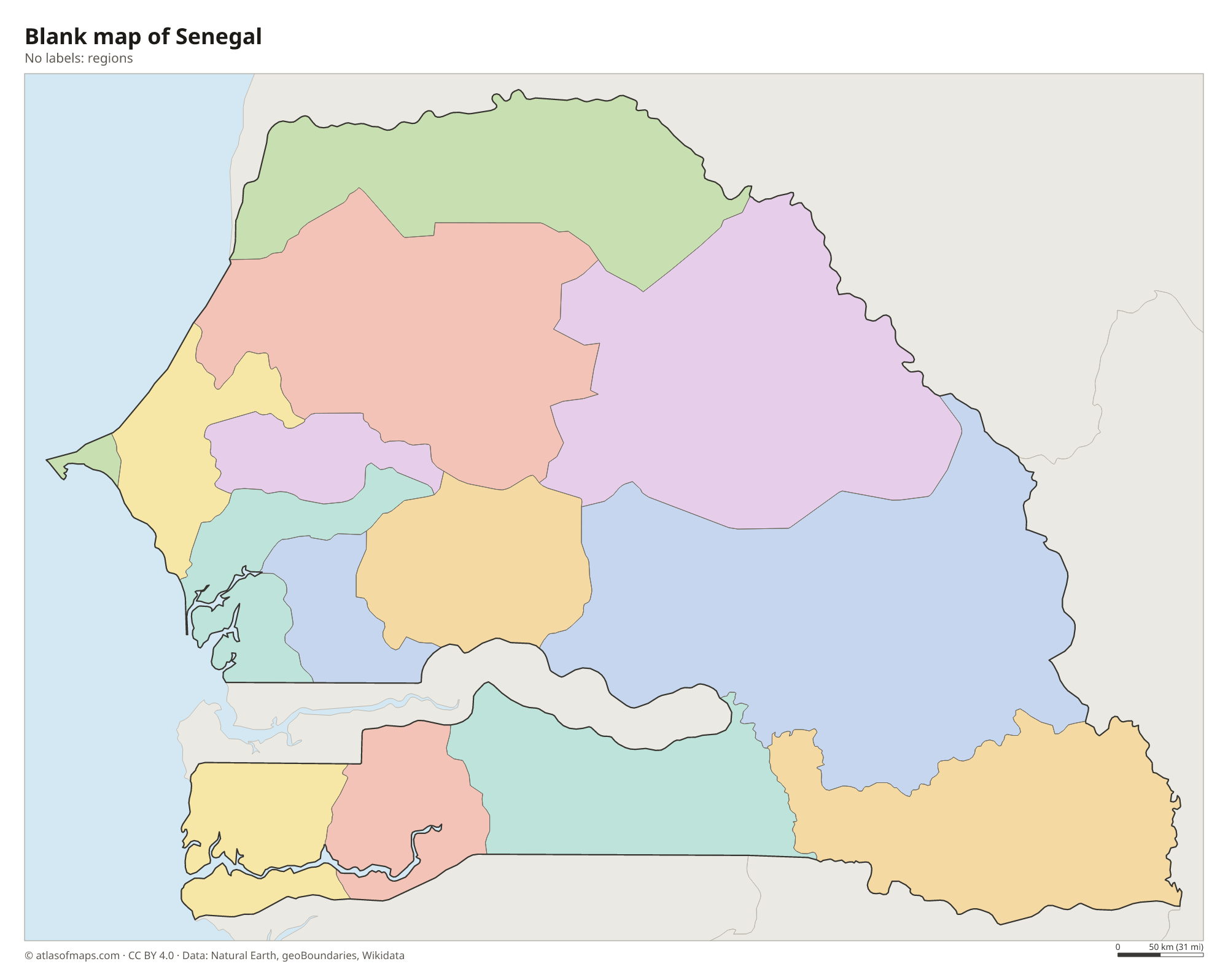
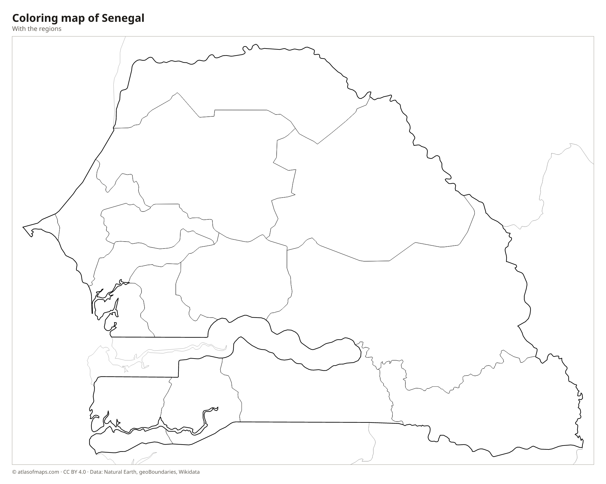
Blank and coloring maps of Senegal
Blank map of Senegal

Coloring map of Senegal

Geography of Senegal
Senegal is mostly low and flat, with sandy plains and gentle plateaus. In the west, the Cap-Vert peninsula, where Dakar stands, juts into the Atlantic and ends at Pointe des Almadies, the westernmost point of mainland Africa. The land rises only in the southeast, where foothills of the Fouta Djallon reach across the border from Guinea; the highest point, Népin Cliff, at 531 m (1,742 ft), lies in this area. The north lies on the edge of the Sahel, with dry grassland, acacias and baobab trees.
Four main rivers cross the country toward the Atlantic. The Senegal River forms the northern border with Mauritania and reaches the sea near Saint-Louis, and the Gambia River flows through the southeast before crossing the Gambia. In the south, the Casamance River winds through a green region of mangroves and forests, while the Saloum Delta on the central coast is a maze of islands and channels. Near Dakar, Lake Retba is known for its pink water. The climate is tropical, with one rainy season from about June to October, wetter in the south.
Fun facts
- The Gambia is almost completely surrounded by Senegal, except for its short Atlantic coast.
- Saint-Louis, on an island near the mouth of the Senegal River, was once the capital of French West Africa.
- Gorée Island, just off Dakar, is a UNESCO World Heritage Site.
Flag of Senegal
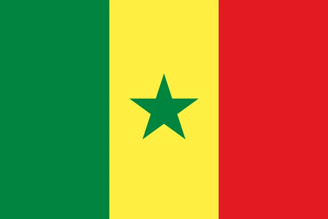
The flag of Senegal has three equal vertical stripes of green, yellow and red, with green at the hoist. In the center of the yellow stripe is a green five-pointed star. Without the star, the design would look like the flag of Mali, which uses the same colors in the same order.
Countries bordering Senegal
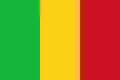
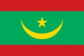
Frequently asked questions
What countries border Senegal?
Senegal borders Mauritania to the north, Mali to the east, Guinea and Guinea-Bissau to the south, and the Gambia, which cuts deep into Senegal along the Gambia River.
Why is the Gambia inside Senegal?
The Gambia's borders were drawn along the Gambia River by Britain, while France controlled the land around it. As a result, Senegal surrounds the Gambia on three sides.
What is the capital of Senegal?
The capital and largest city is Dakar, on the Cap-Vert peninsula at the western tip of the African mainland. It is one of the main ports of West Africa.
What language is spoken in Senegal?
The official languages are French, Wolof, Badyara, and Balanta.
Can I print the map of Senegal?
Yes. Every map on this page can be downloaded for free as PNG or PDF (US Letter) and printed, including the blank map and the coloring map. Please credit the source (Atlas of Maps, CC BY 4.0).
Use this map
You can download, print and share this map for free, in class, in school projects, in presentations and on websites, as long as you credit the source: Map of Senegal · Atlas of Maps (atlasofmaps.com), license CC BY 4.0.
See also: Map of Africa · World map