Physical maps
Explore shaded terrain, mountain ranges, rivers and lakes on maps of the world, six continents and 50 countries. Each page includes a labeled map, a relief map without names, and free PNG and PDF downloads.
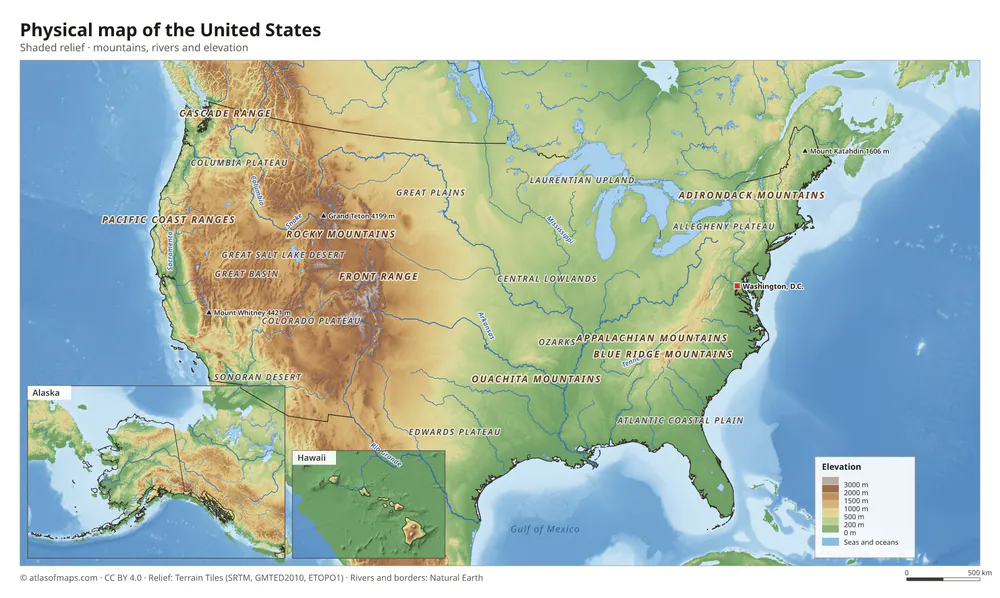 Physical map of the United States
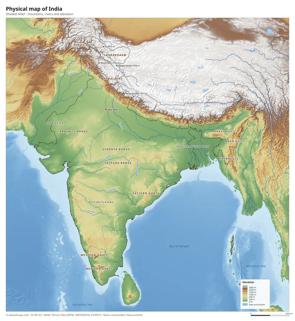 Physical map of India
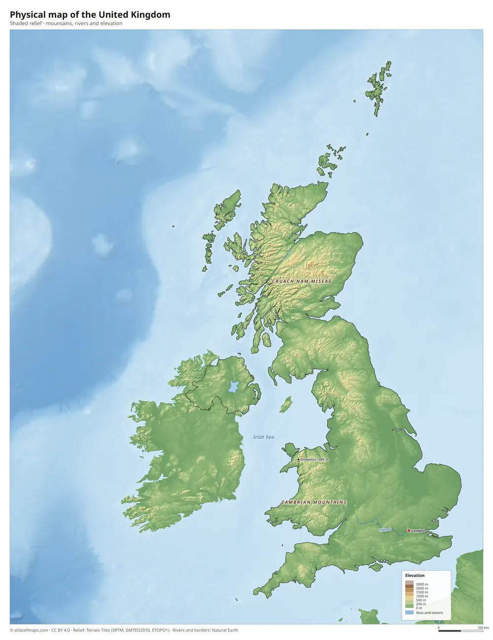 Physical map of the United Kingdom
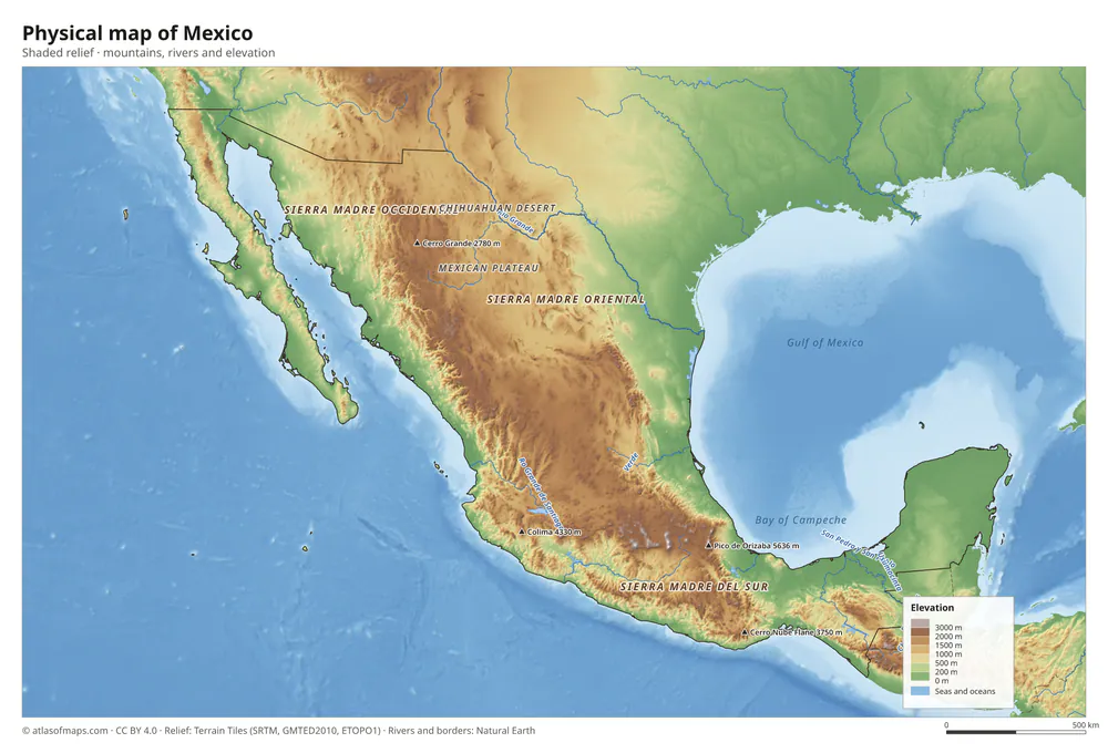 Physical map of Mexico
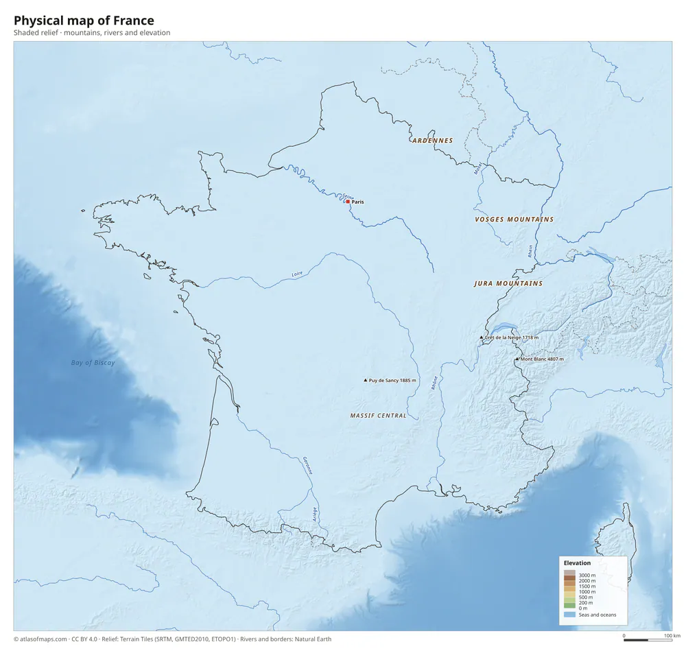 Physical map of France
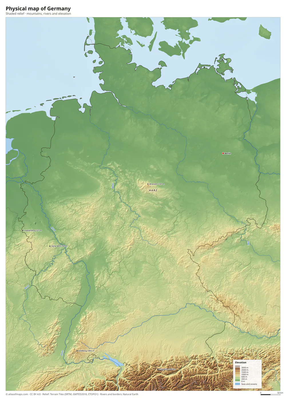 Physical map of Germany
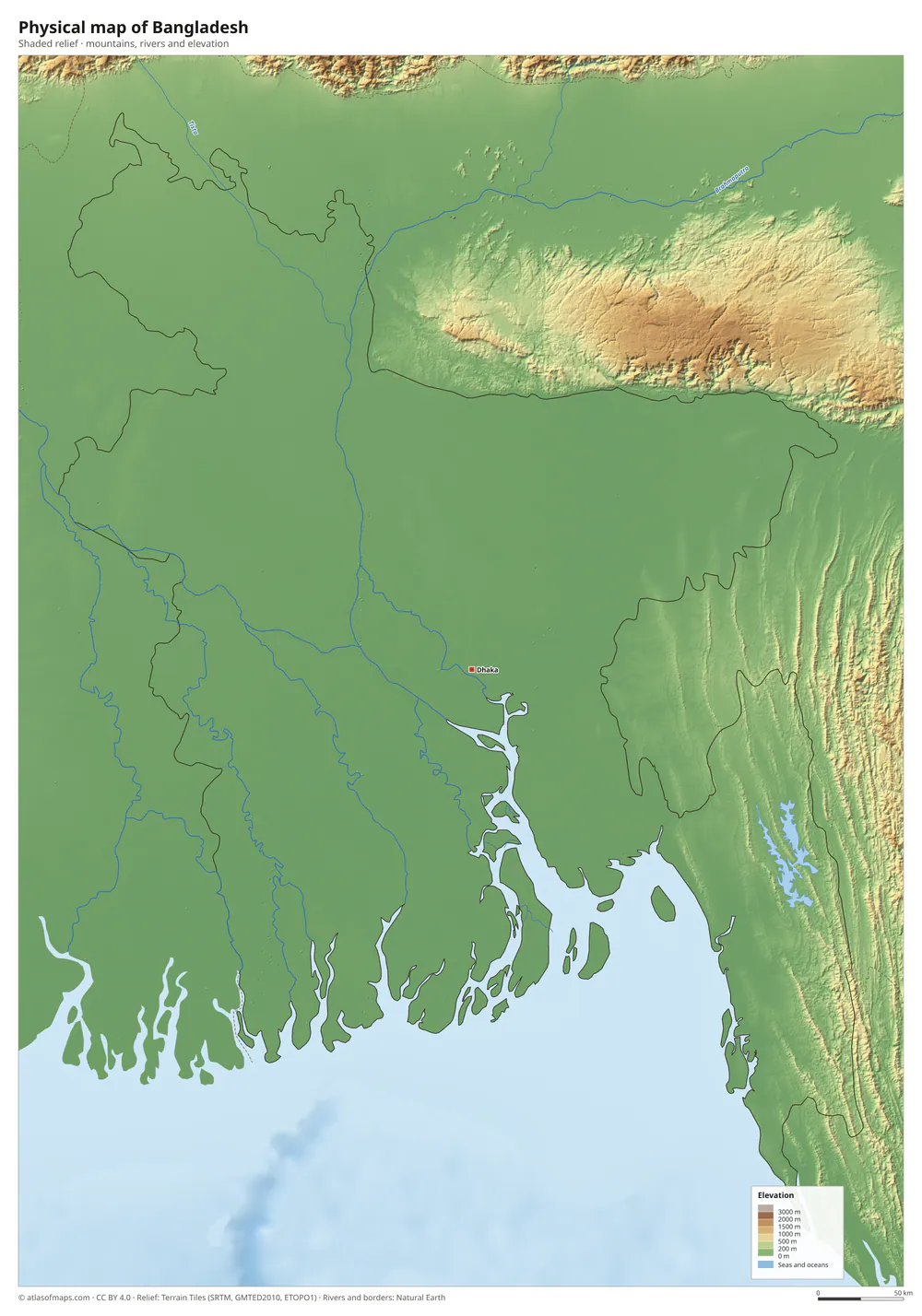 Physical map of Bangladesh
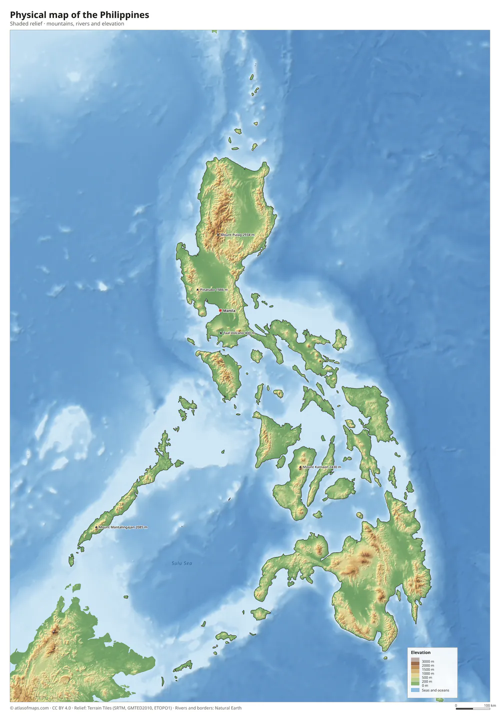 Physical map of the Philippines
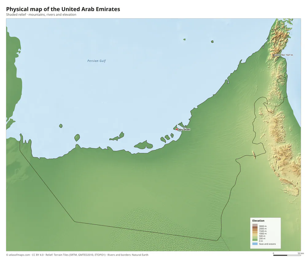 Physical map of the United Arab Emirates
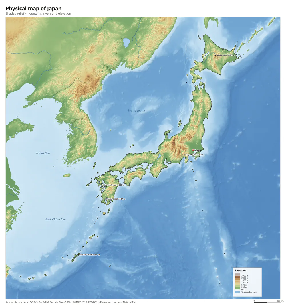 Physical map of Japan
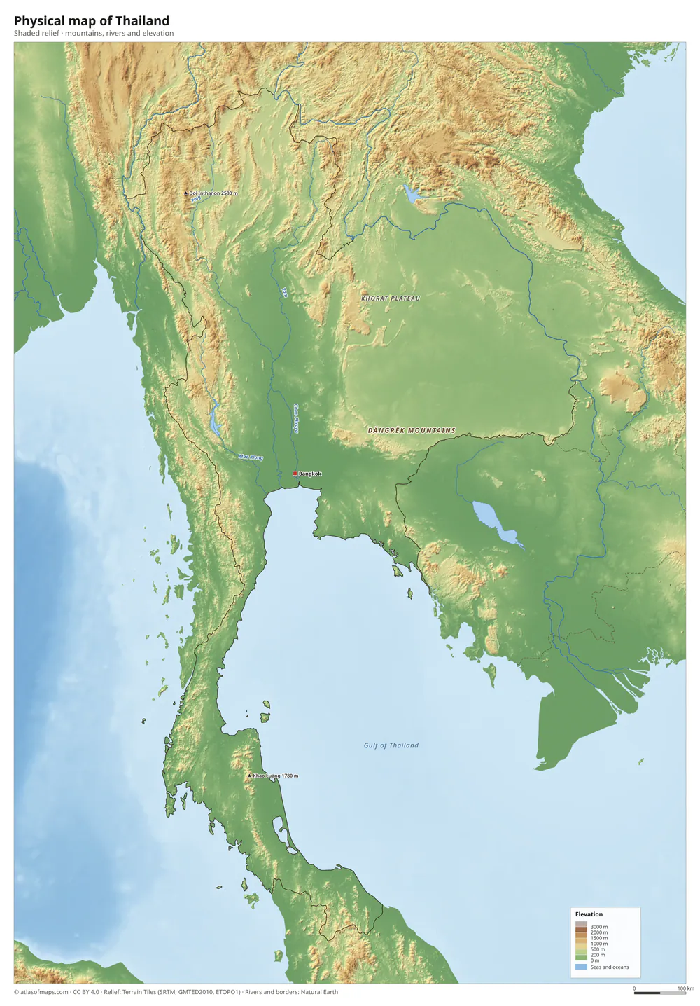 Physical map of Thailand
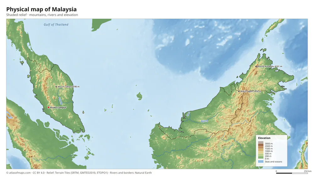 Physical map of Malaysia
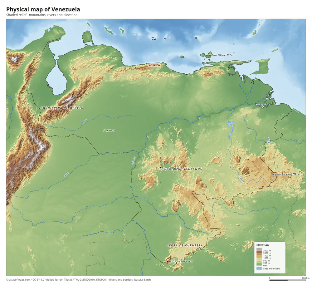 Physical map of Venezuela
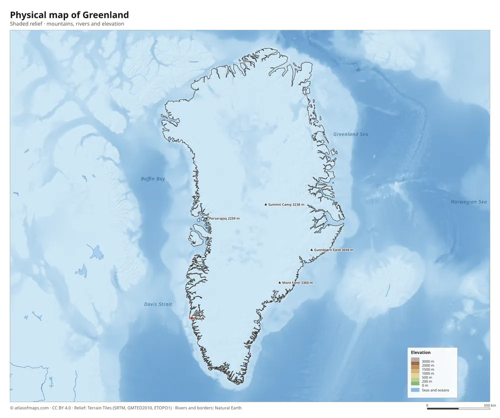 Physical map of Greenland
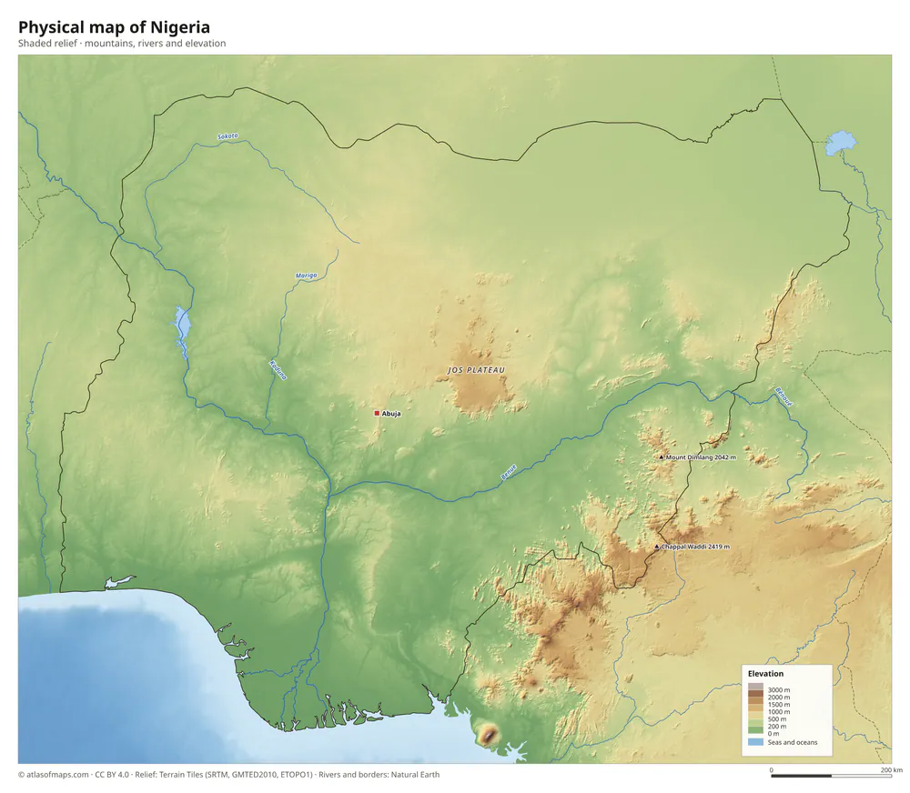 Physical map of Nigeria
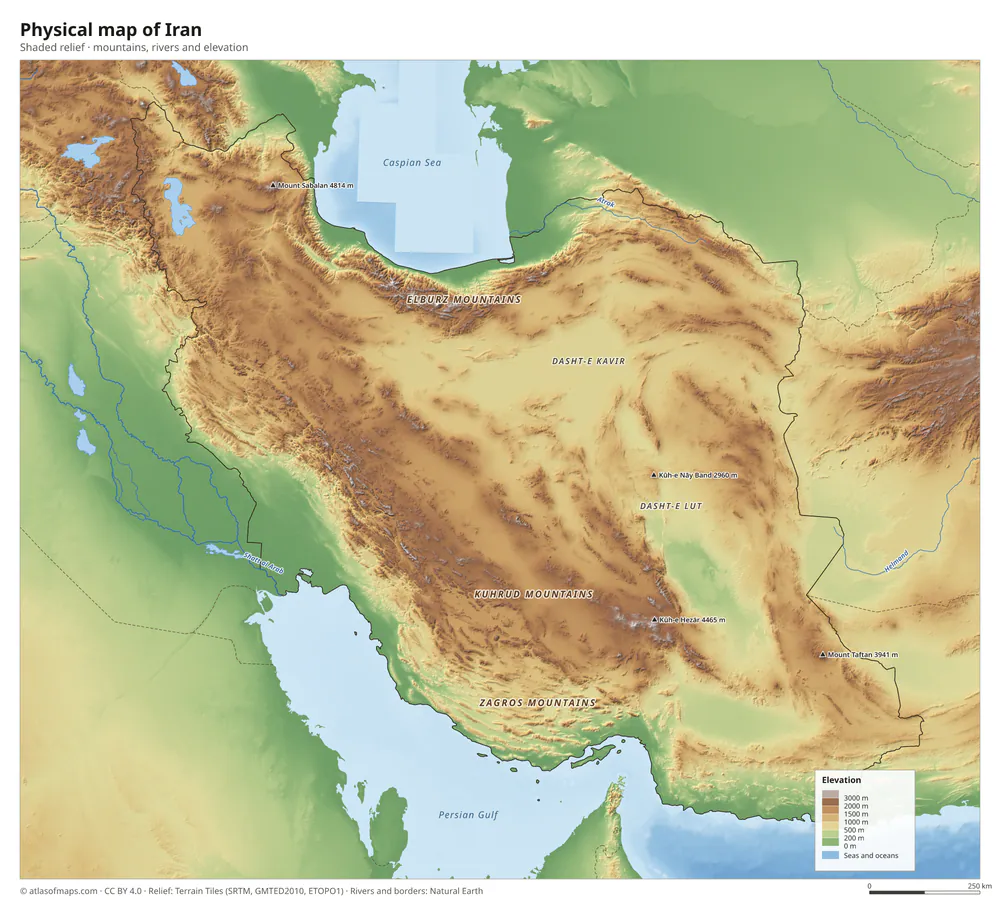 Physical map of Iran
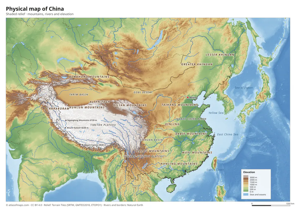 Physical map of China
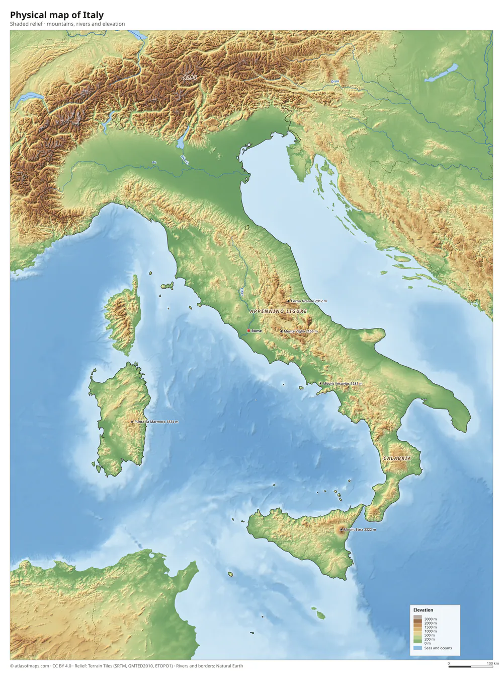 Physical map of Italy
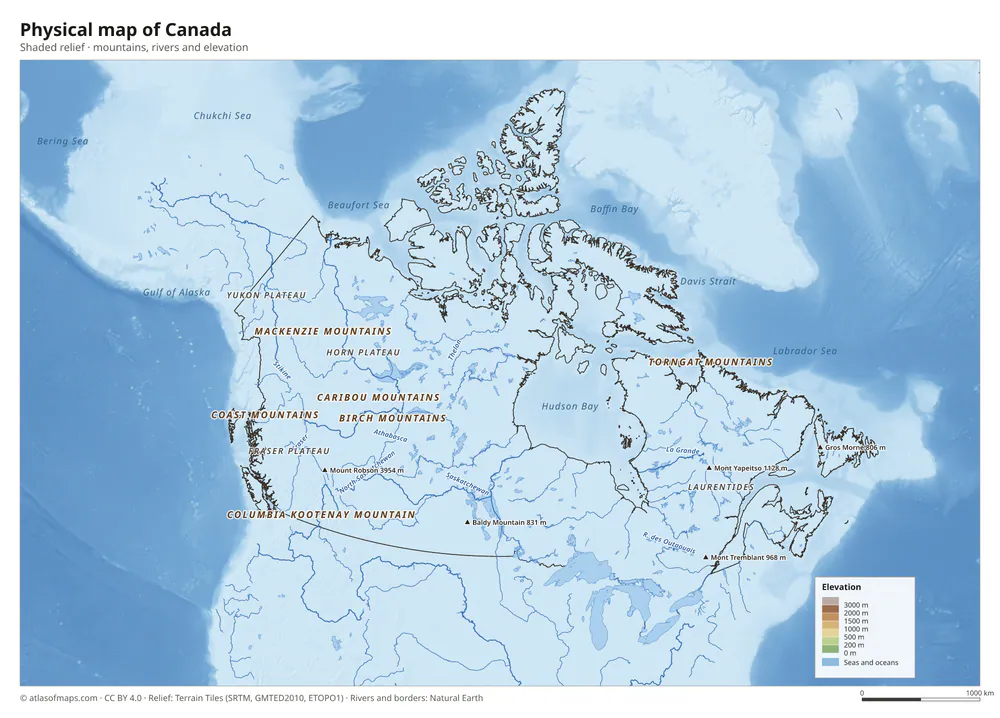 Physical map of Canada
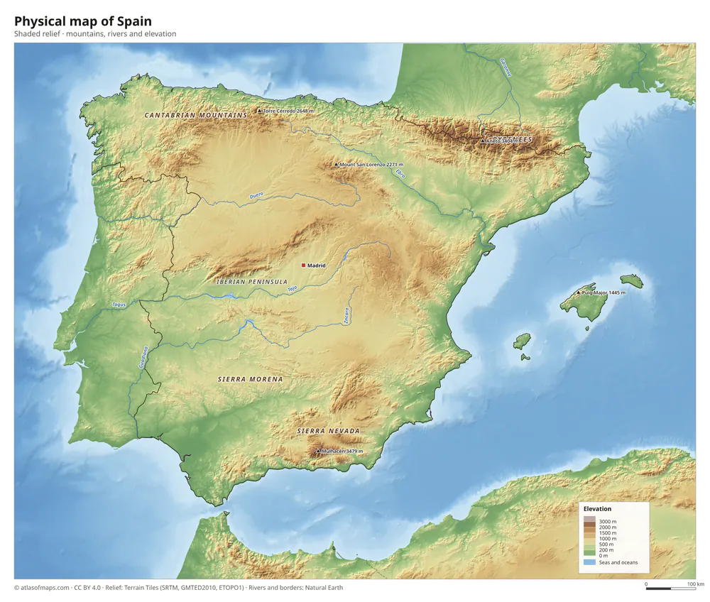 Physical map of Spain
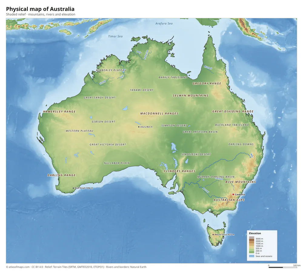 Physical map of Australia
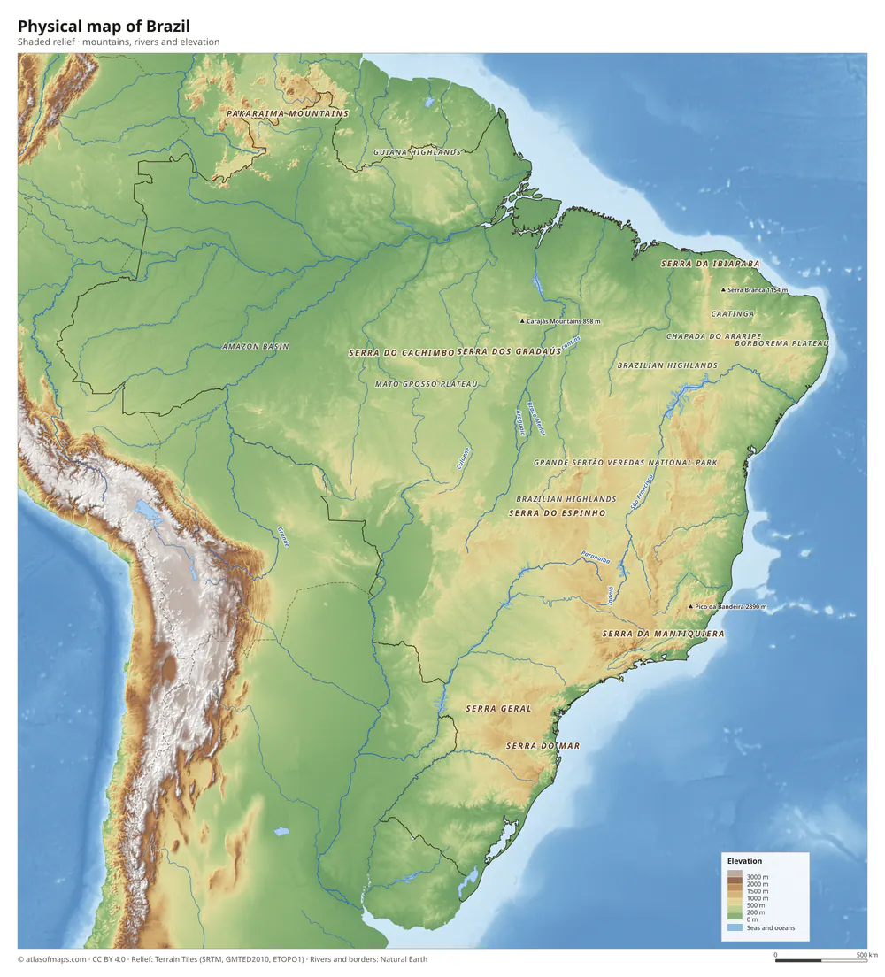 Physical map of Brazil
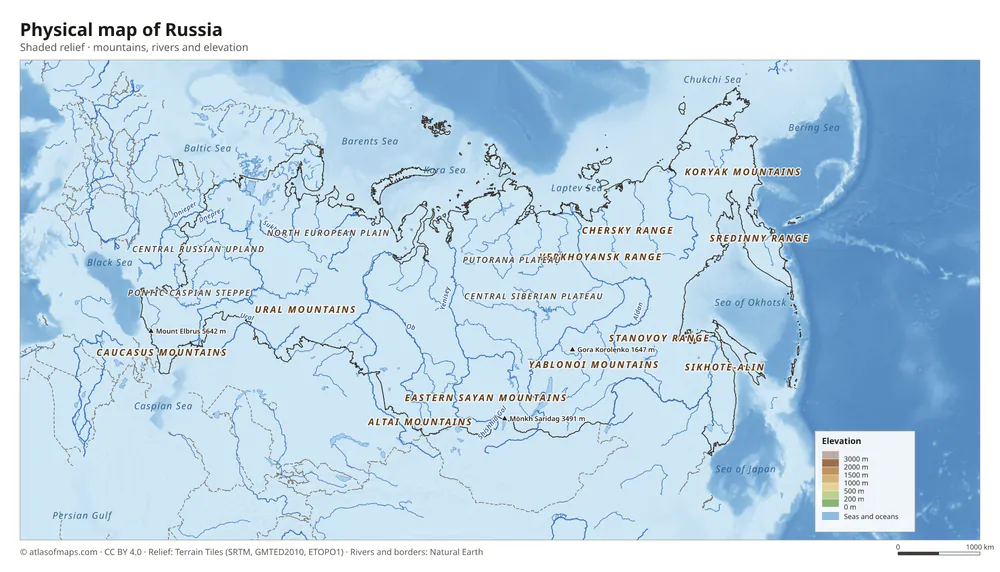 Physical map of Russia
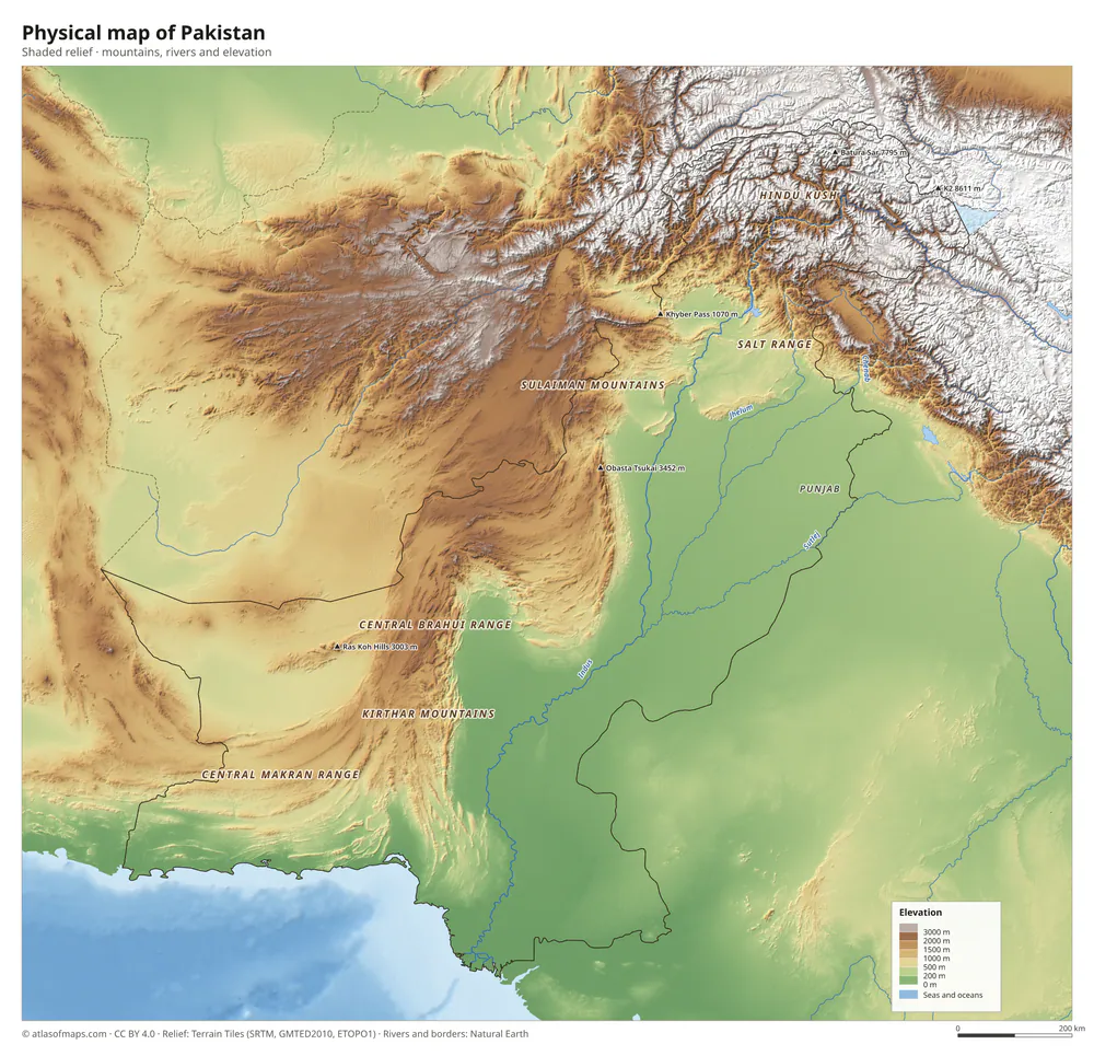 Physical map of Pakistan
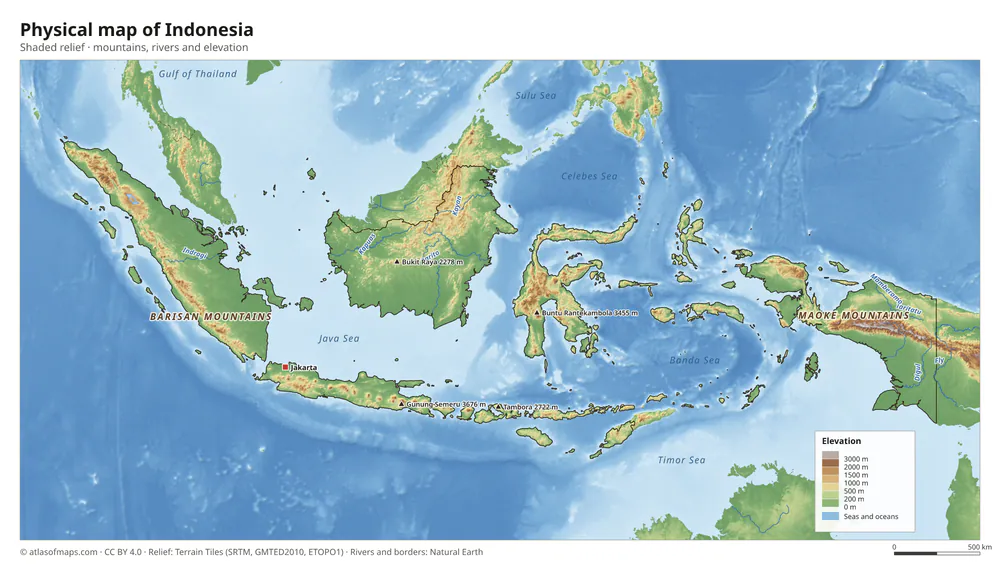 Physical map of Indonesia
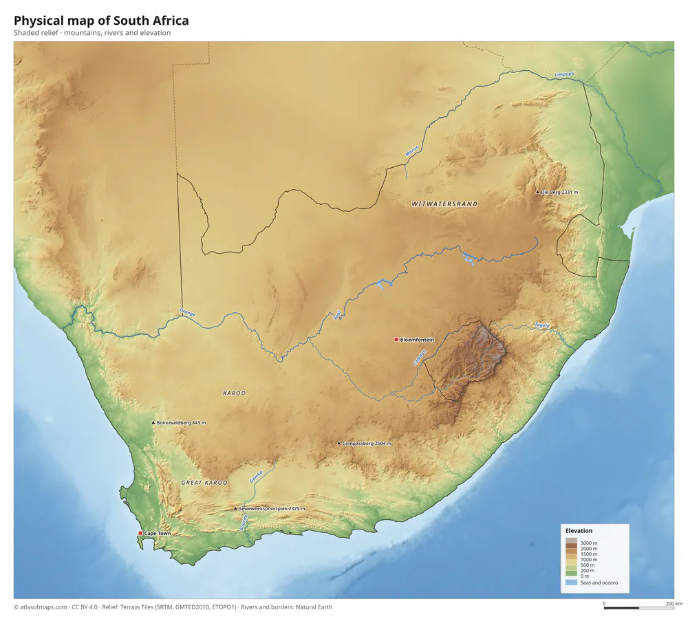 Physical map of South Africa
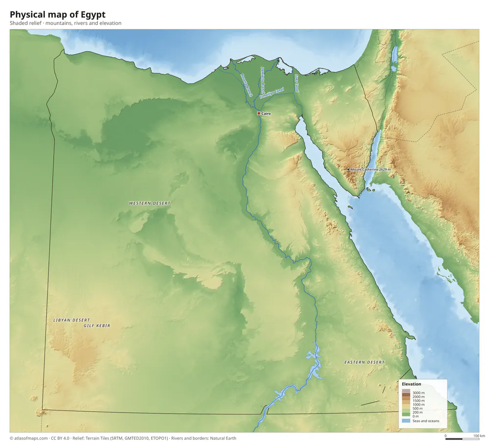 Physical map of Egypt
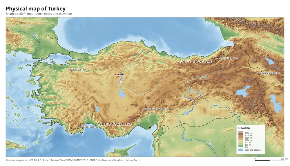 Physical map of Turkey
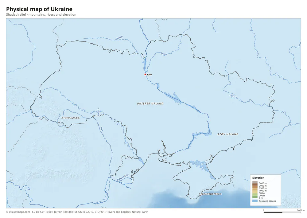 Physical map of Ukraine
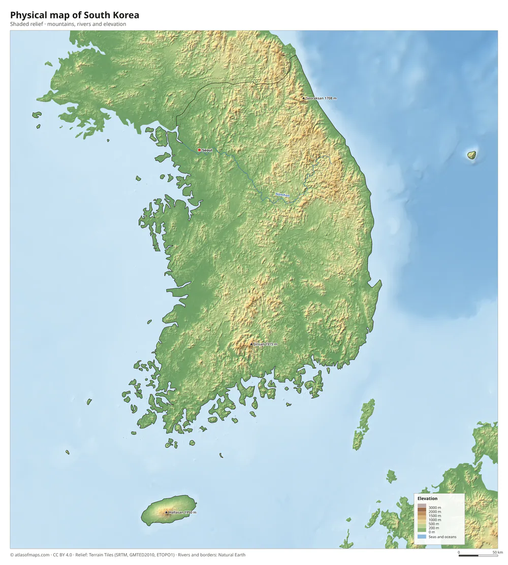 Physical map of South Korea
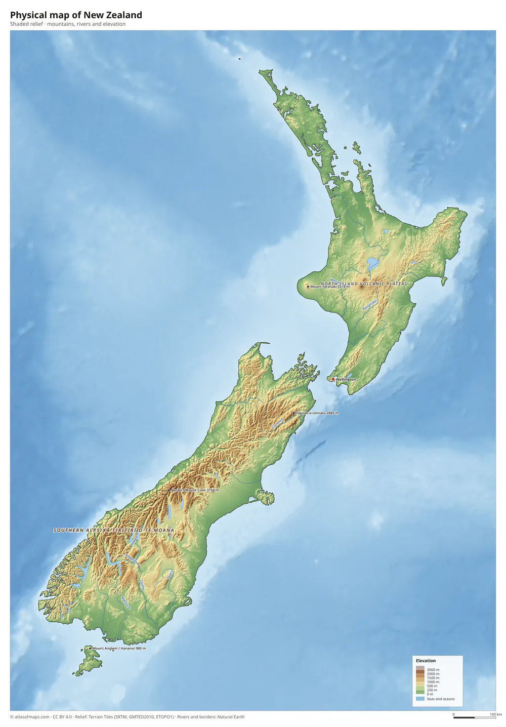 Physical map of New Zealand
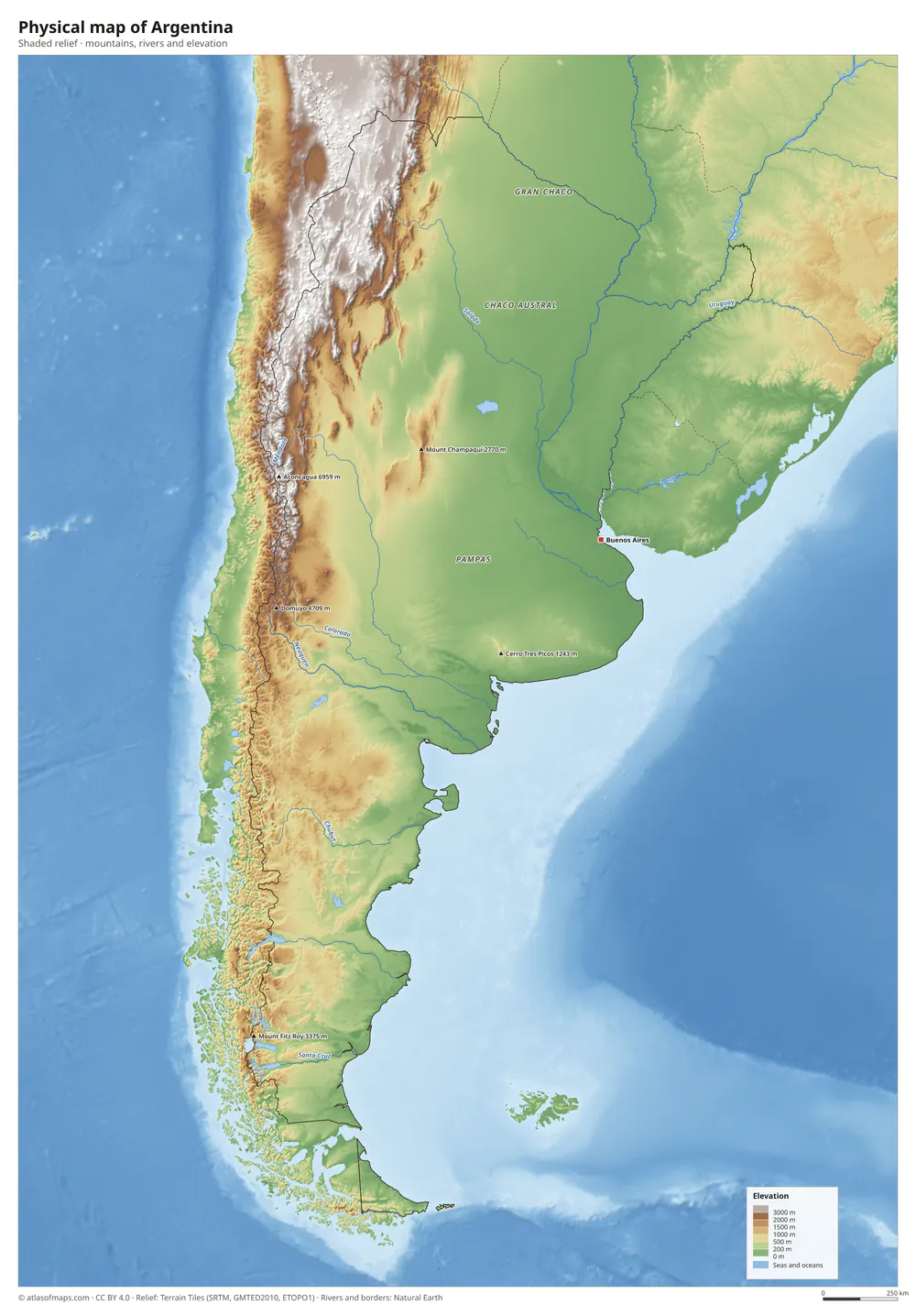 Physical map of Argentina
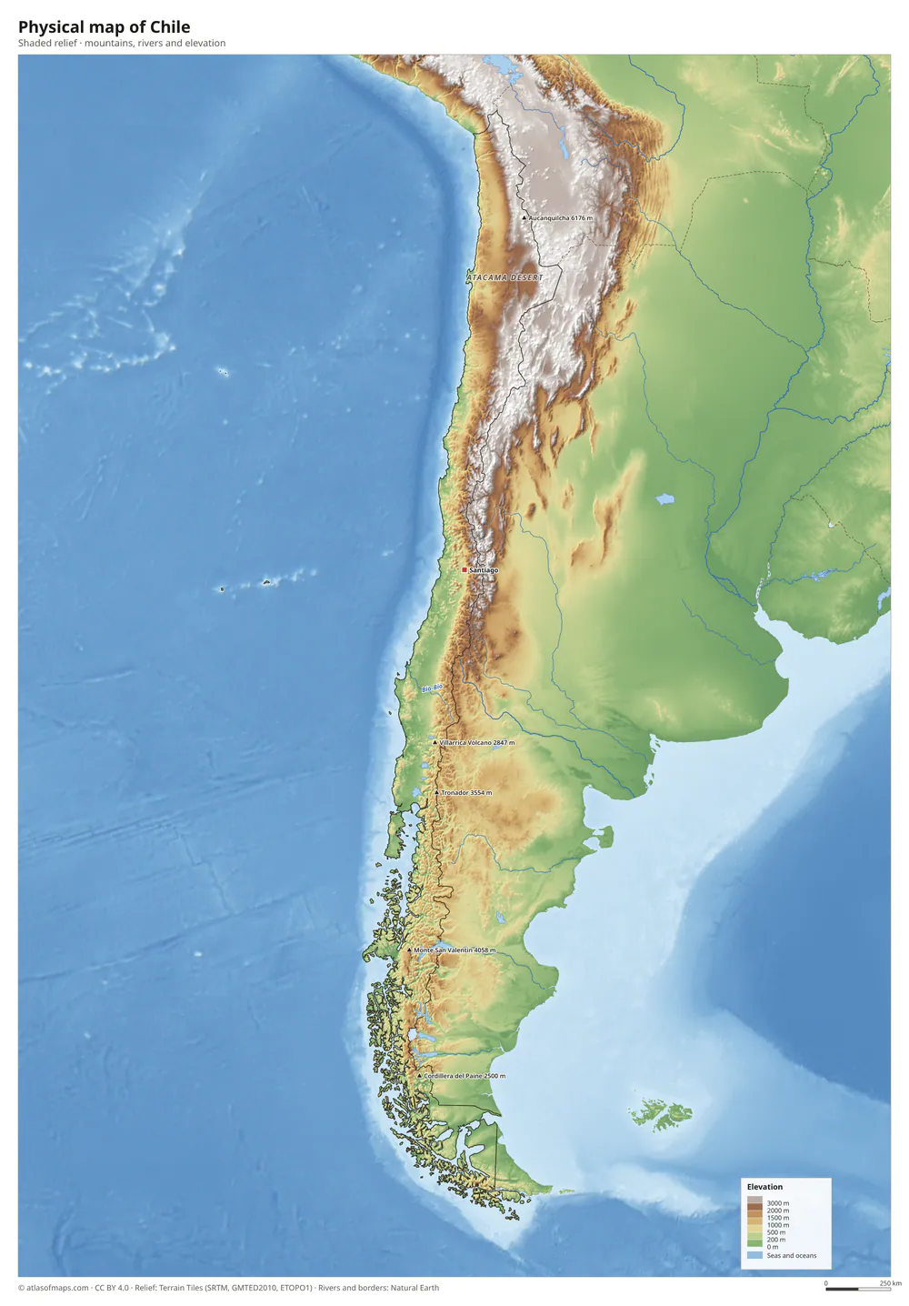 Physical map of Chile
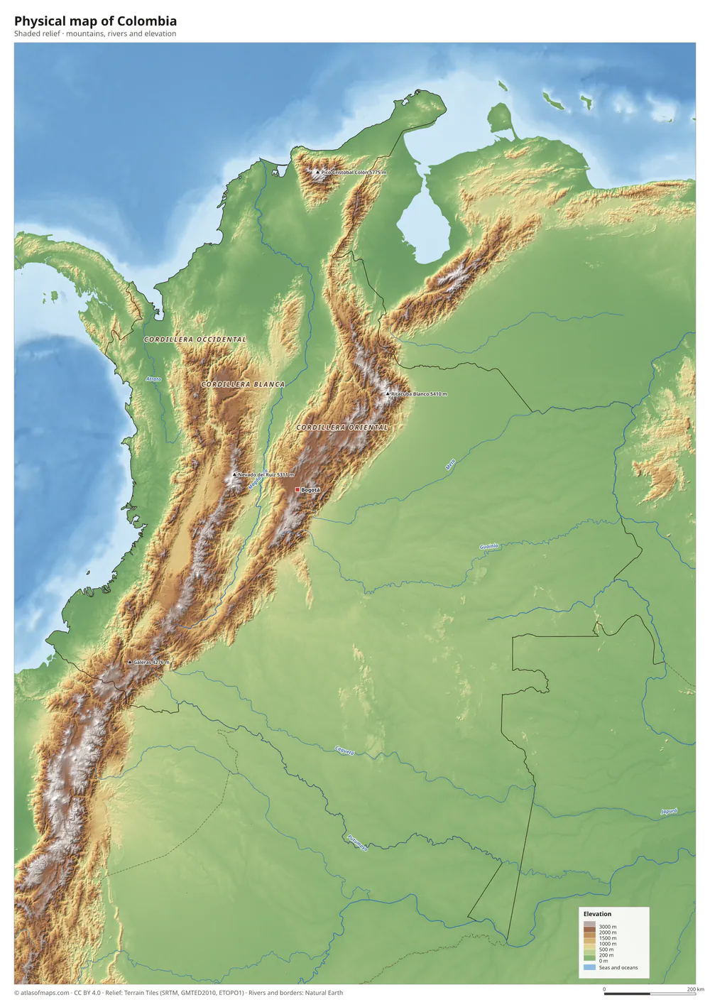 Physical map of Colombia
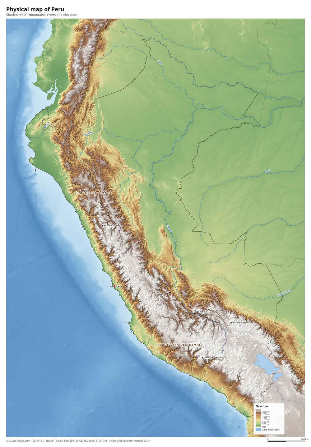 Physical map of Peru
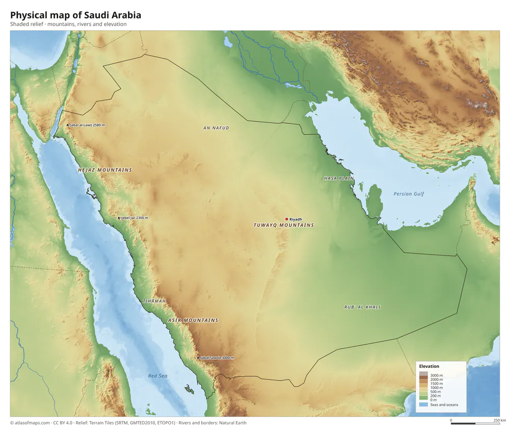 Physical map of Saudi Arabia
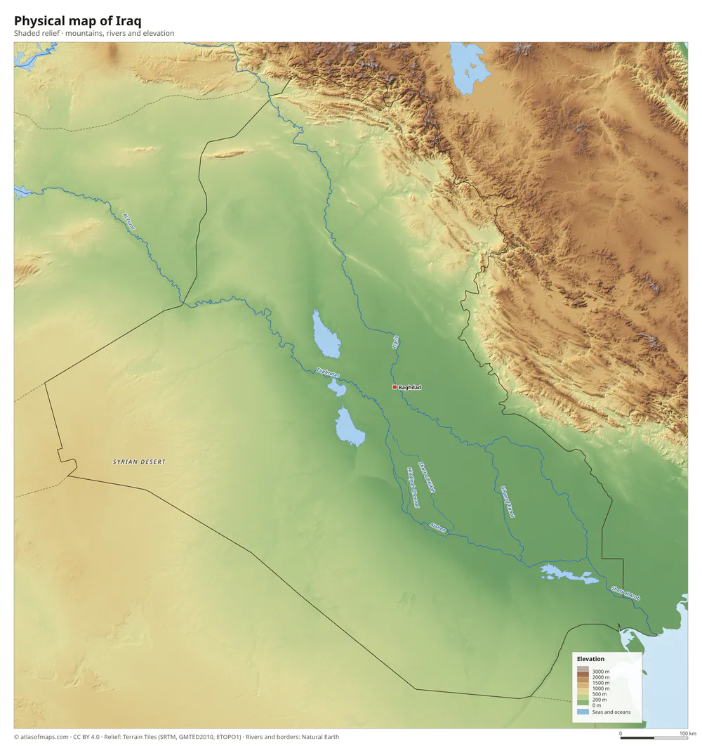 Physical map of Iraq
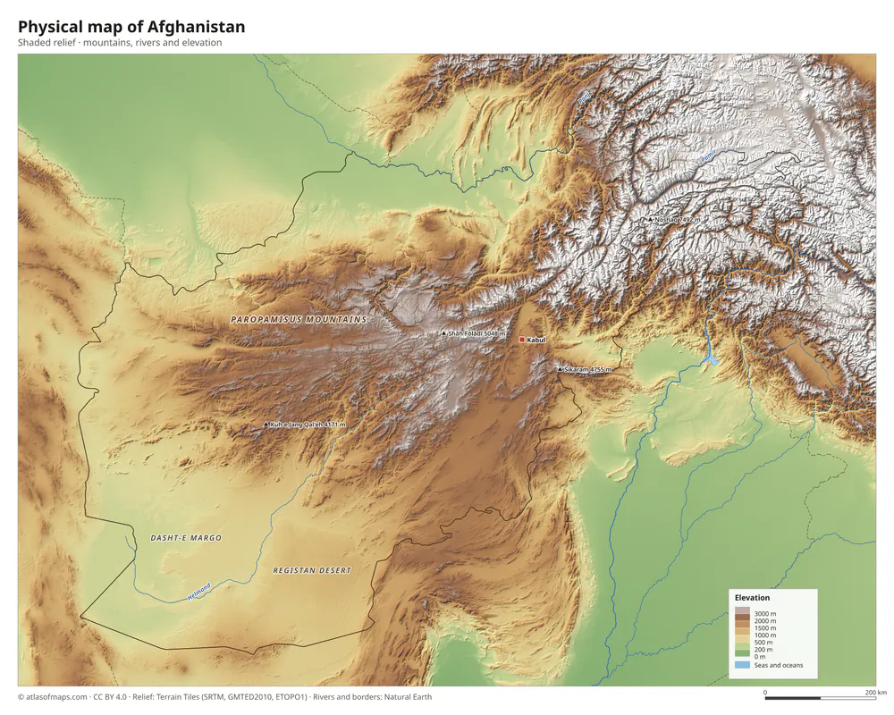 Physical map of Afghanistan
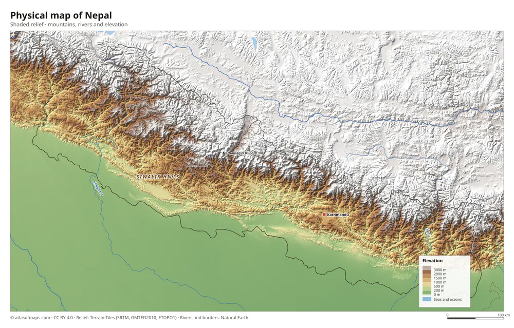 Physical map of Nepal
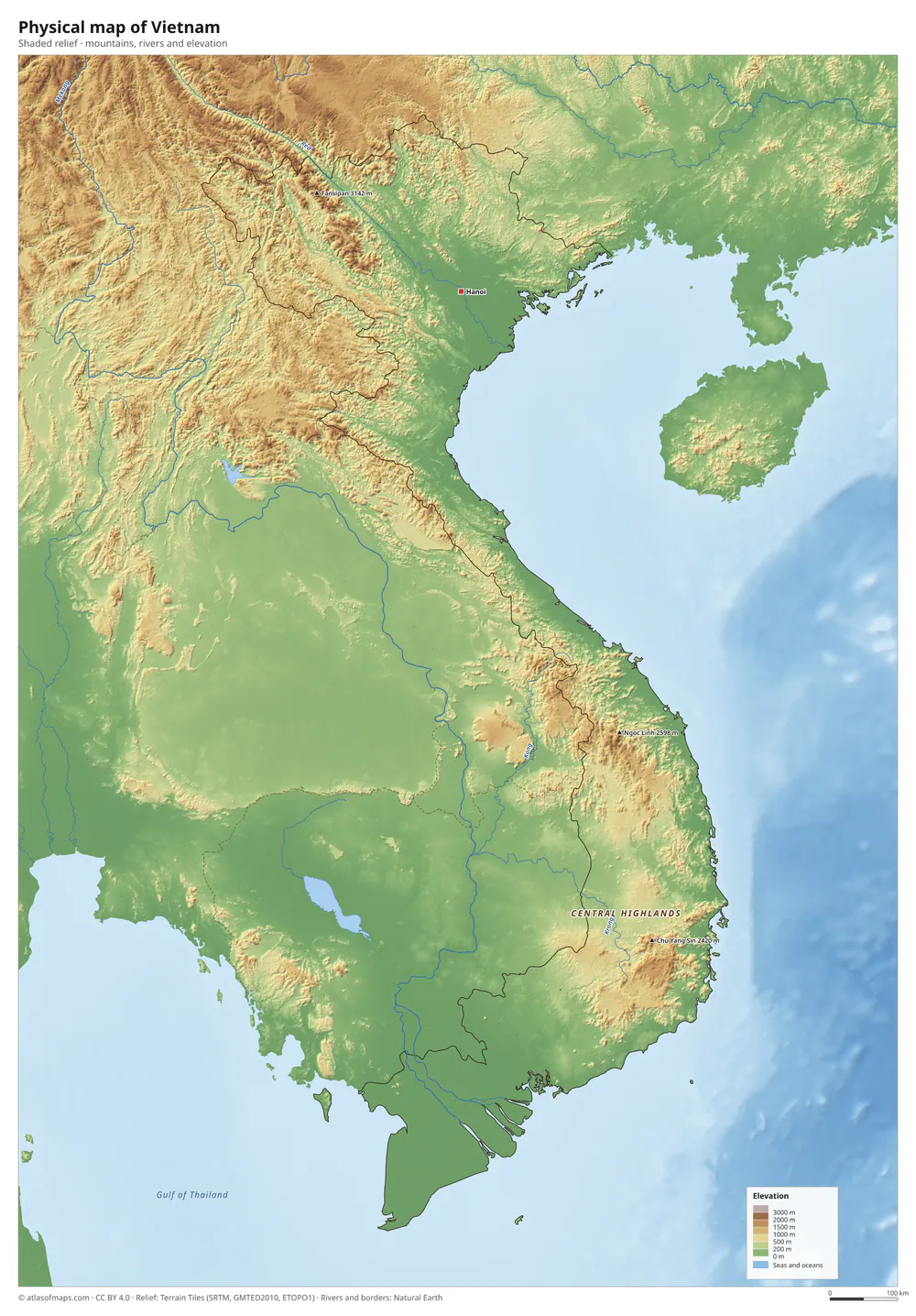 Physical map of Vietnam
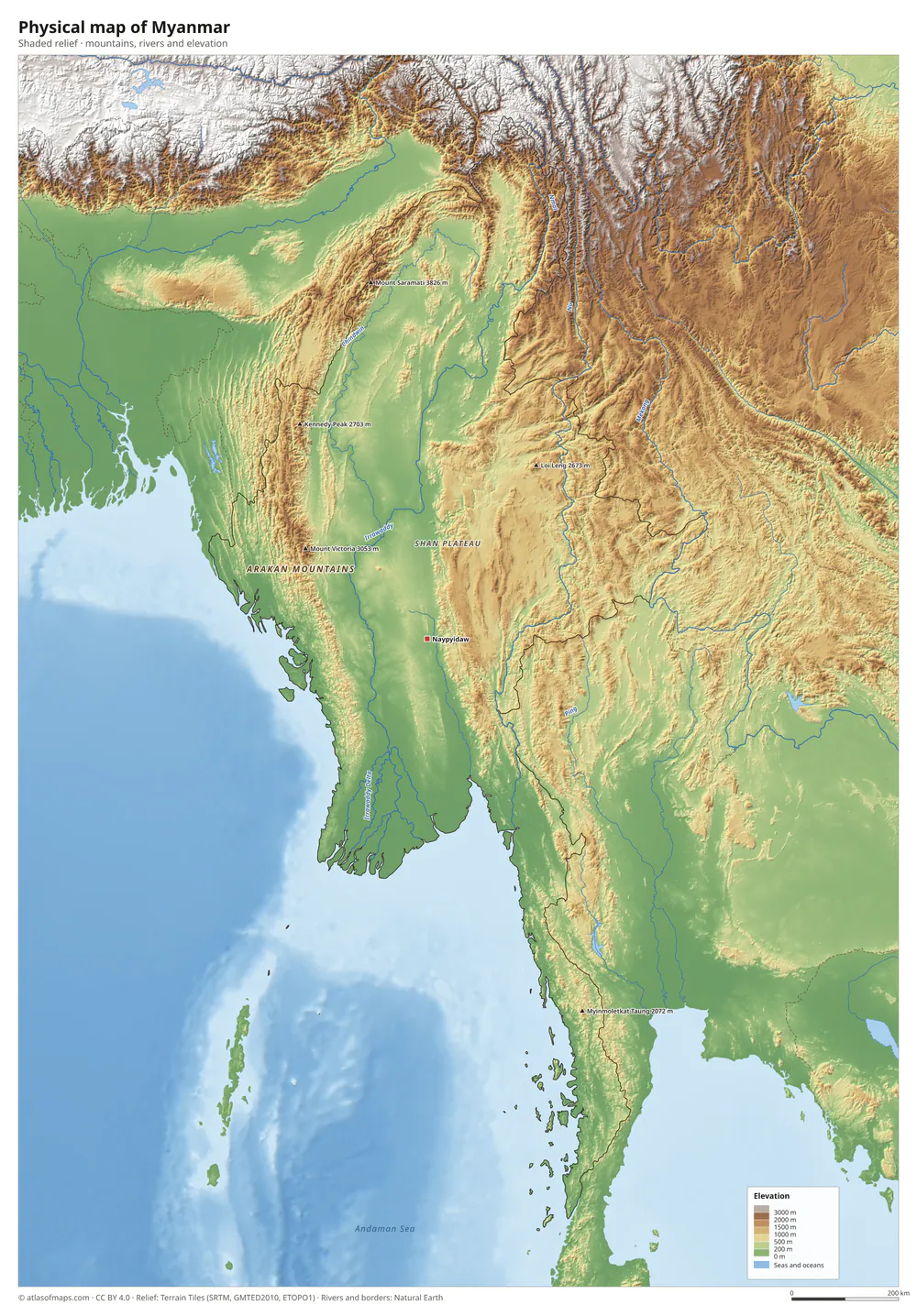 Physical map of Myanmar
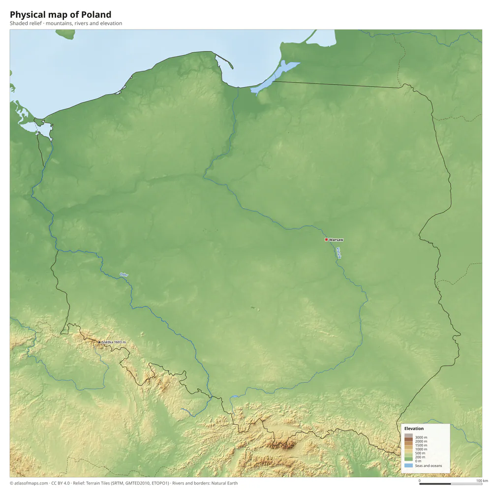 Physical map of Poland
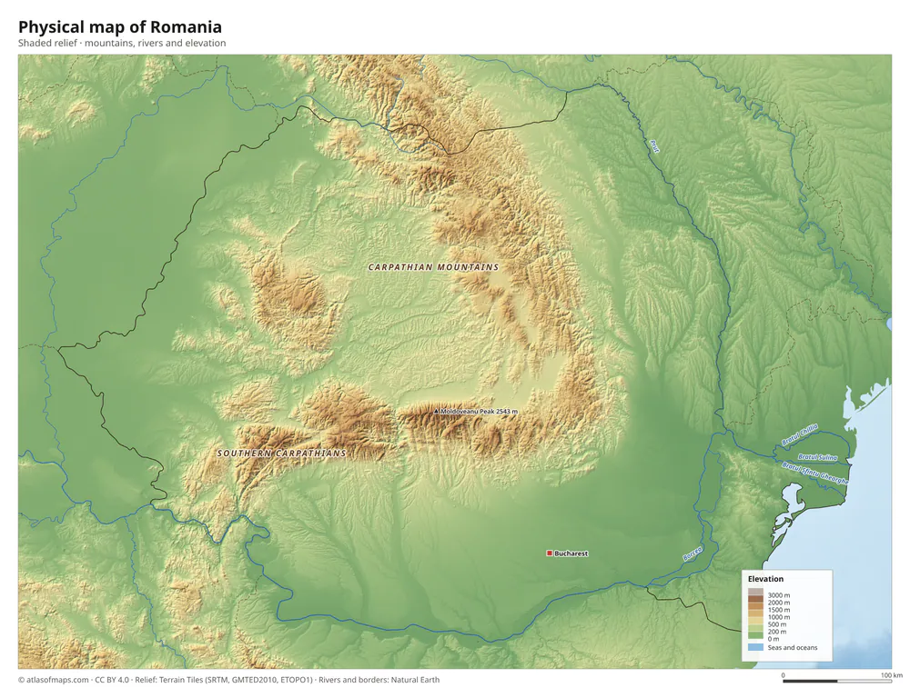 Physical map of Romania
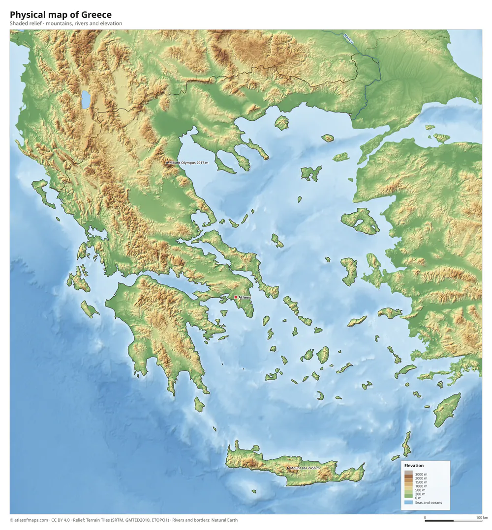 Physical map of Greece
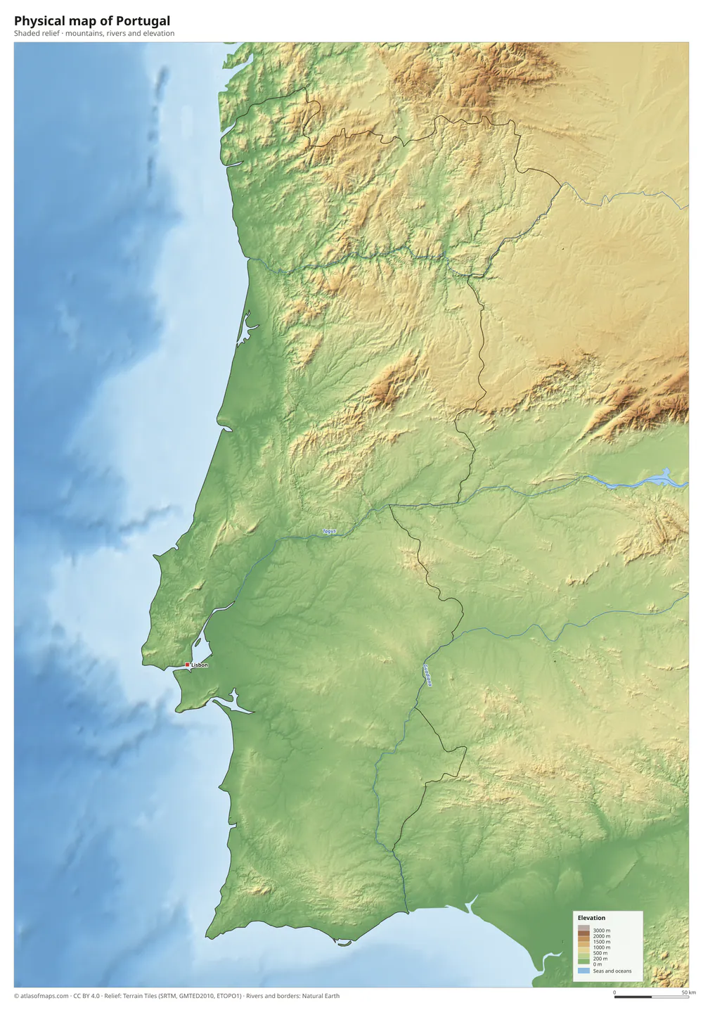 Physical map of Portugal
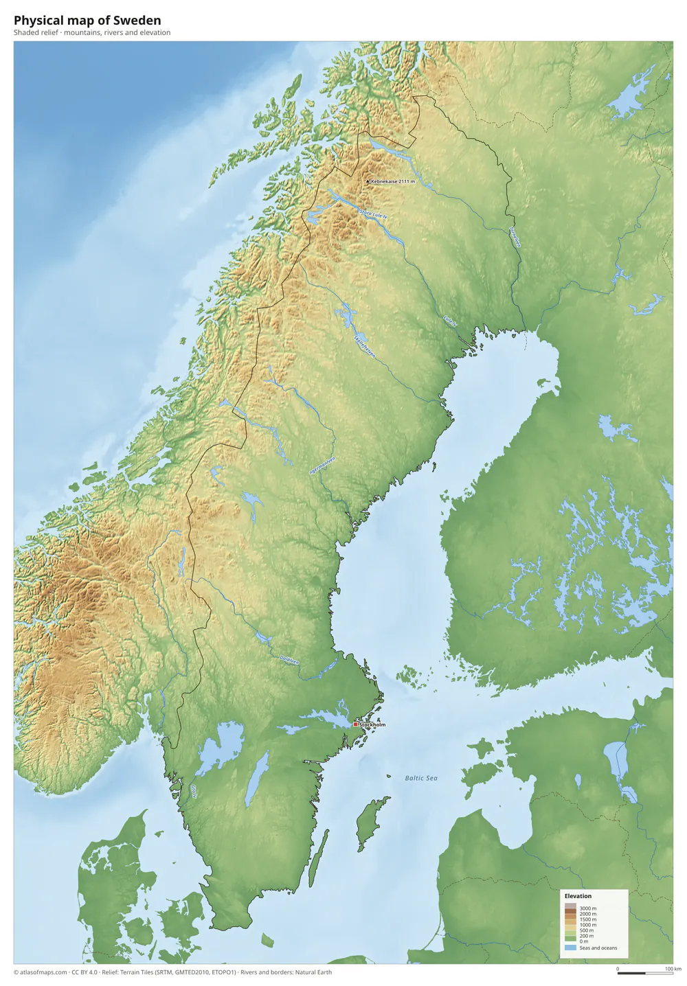 Physical map of Sweden
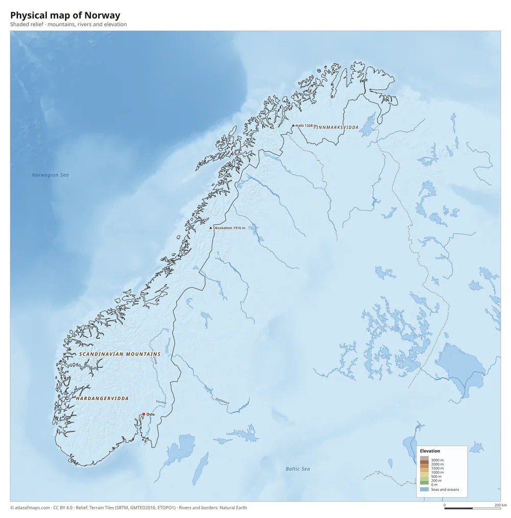 Physical map of Norway
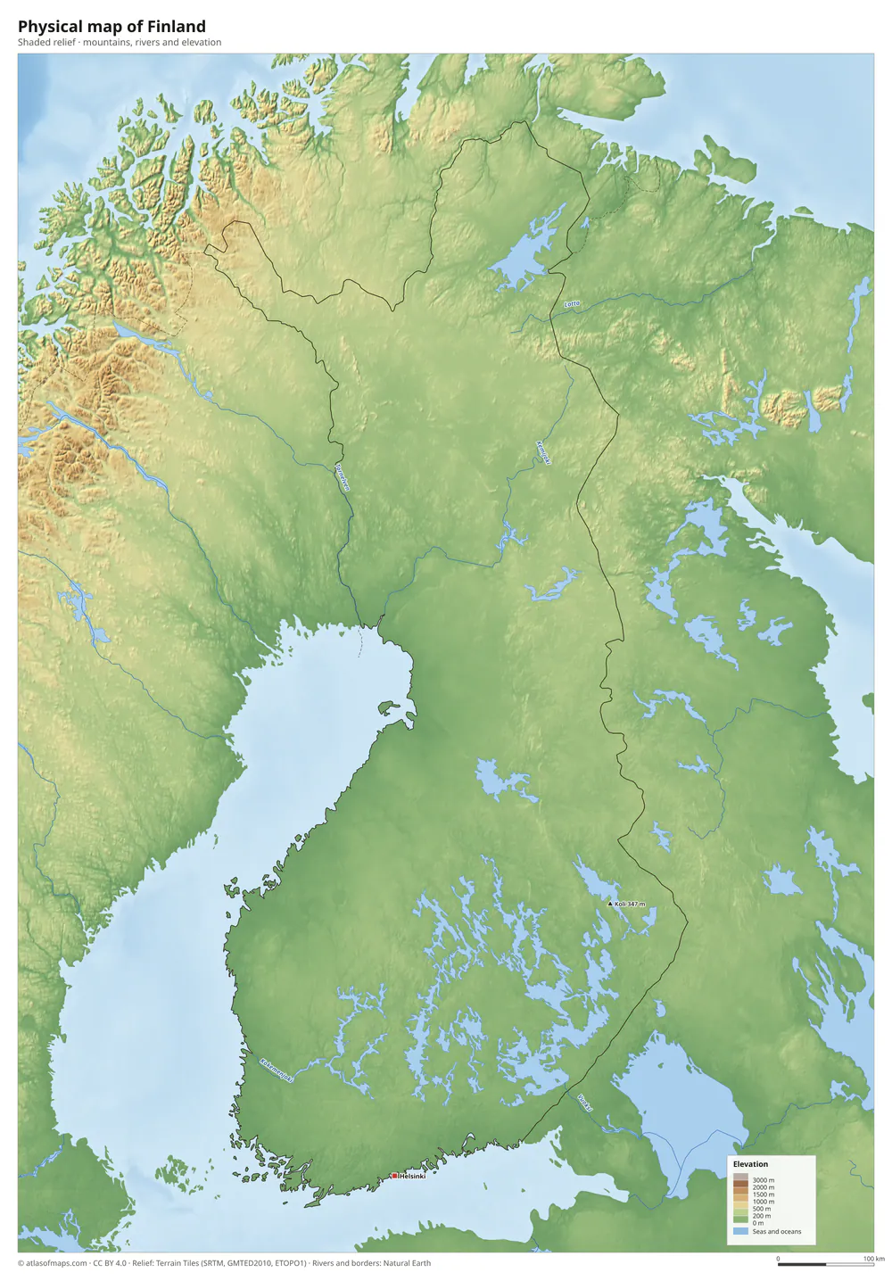 Physical map of Finland
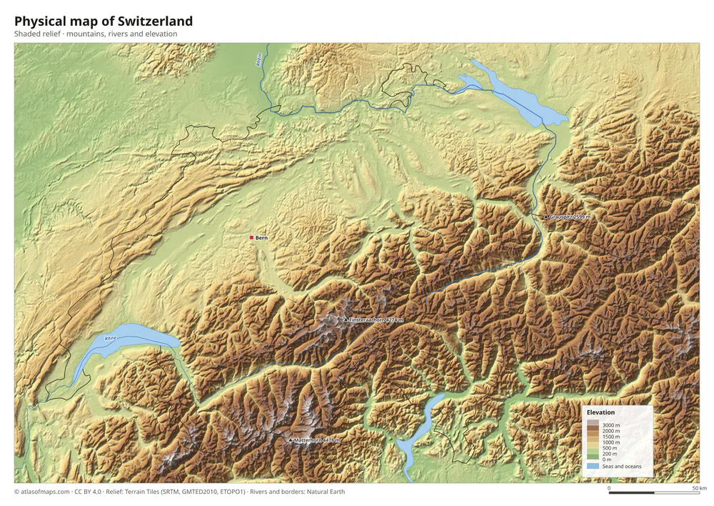 Physical map of Switzerland
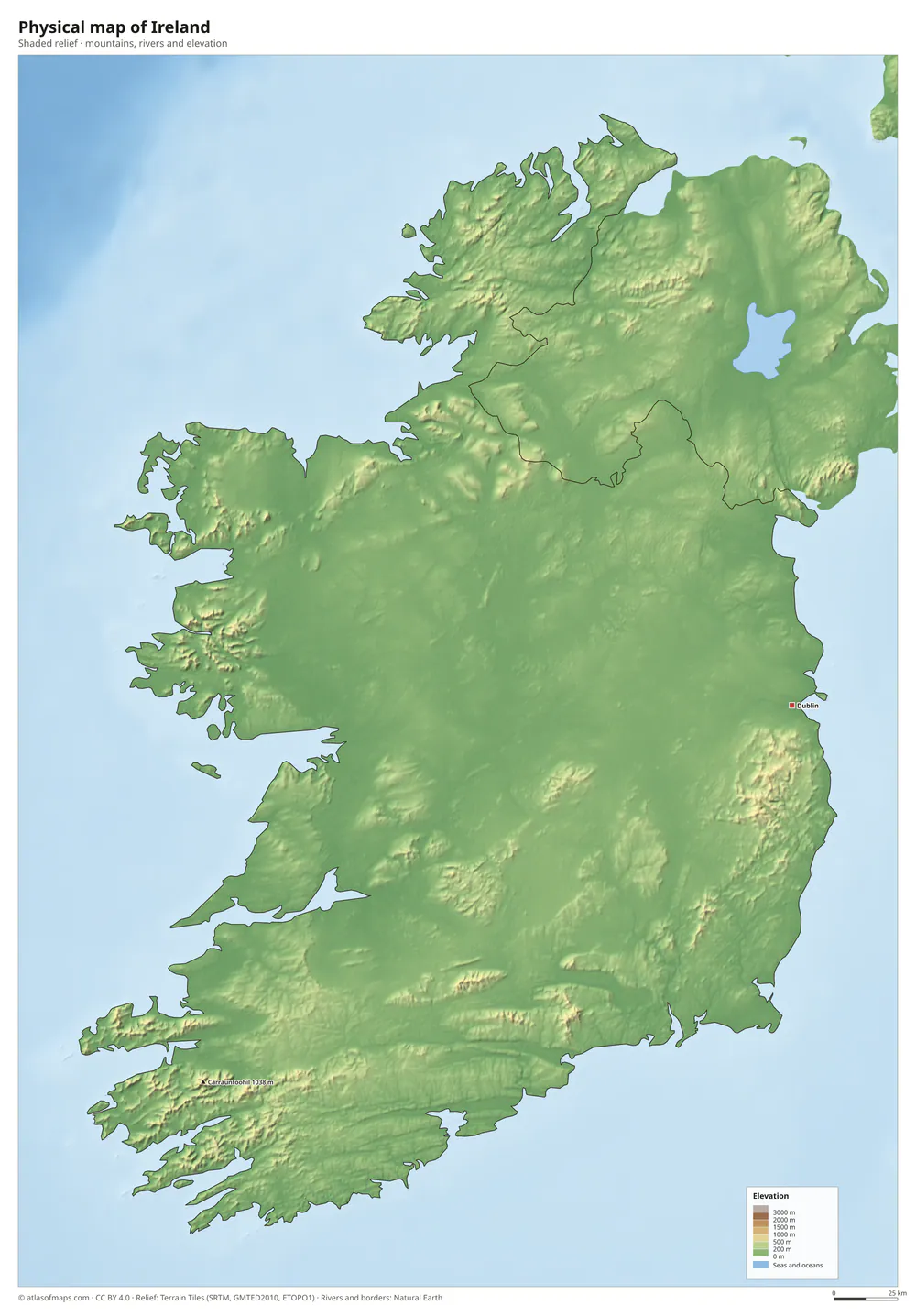 Physical map of Ireland
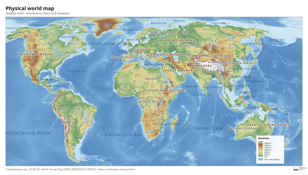 Physical world map
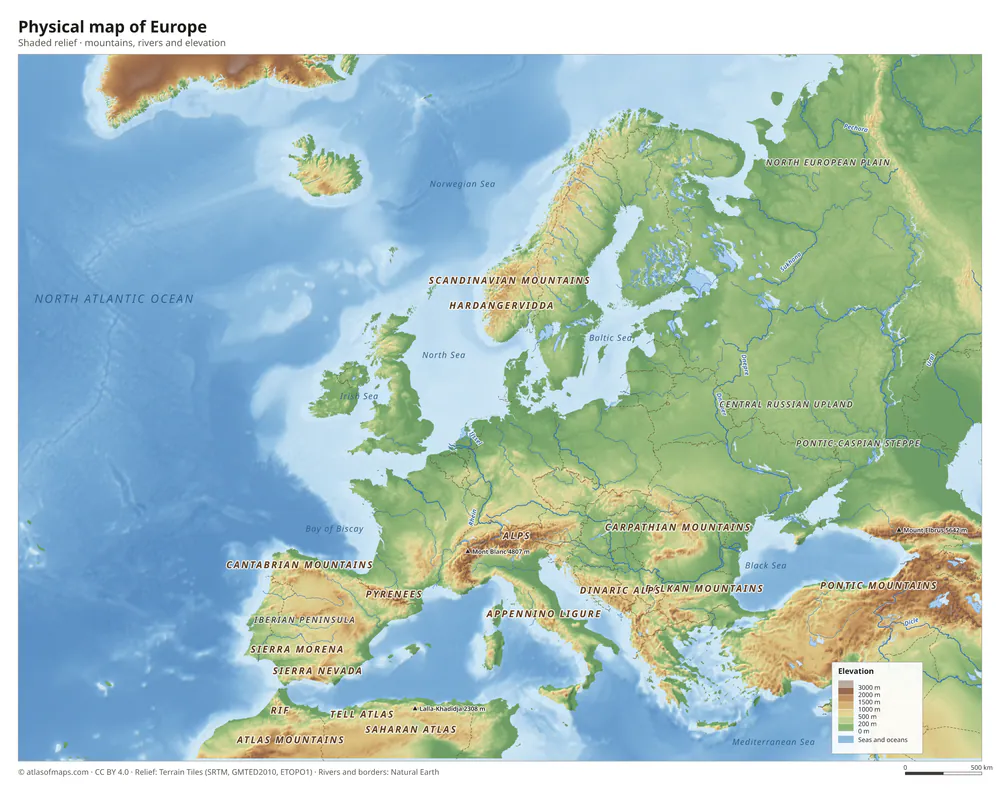 Physical map of Europe
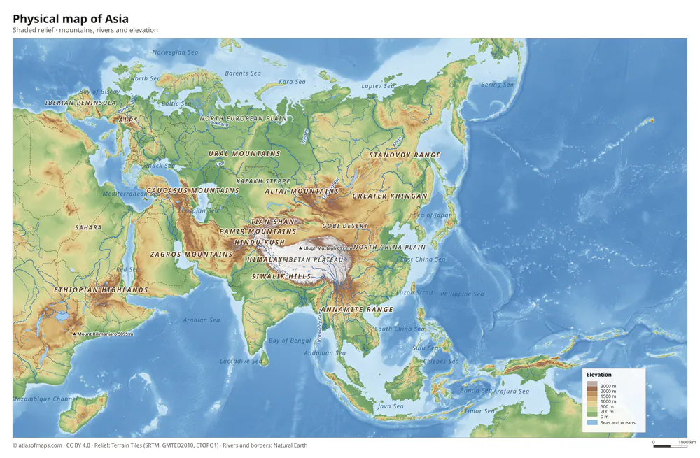 Physical map of Asia
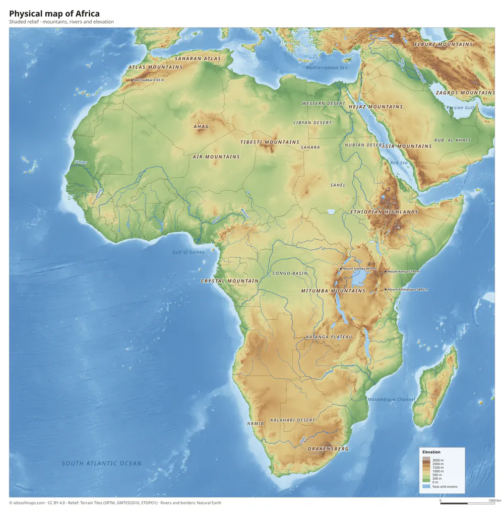 Physical map of Africa
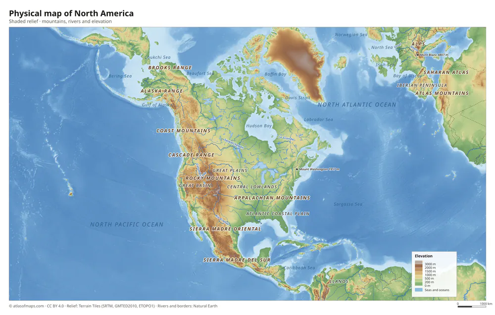 Physical map of North America
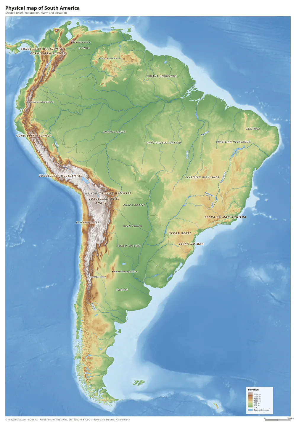 Physical map of South America
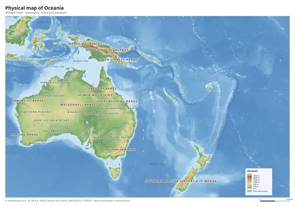 Physical map of Oceania
Compare these landforms with our thematic maps of rivers, mountains, tectonic plates, biomes and time zones.