Map of Armenia with regions and capitals
Armenia is a landlocked country in the South Caucasus, in western Asia between the Black and Caspian Seas. It borders Georgia to the north, Azerbaijan to the east, Iran to the south, and Turkey and Azerbaijan's Nakhchivan exclave to the west and southwest. The political map shows its 11 regions, the capital, Yerevan, and major cities.

- Capital
- Yerevan
- Population
- 2.9 million (2017)
- Area
- 29,743 km² (11,484 sq mi)
- Population density
- 99 per km² (255 per sq mi)
- Official language
- Armenian
- Currency
- Armenian dram
- Demonym
- Armenian
- Regions
- 11
- Highest point
- Mount Aragats (4,090 m (13,419 ft))
- Calling code
- +374
- Internet domain
- .am
- Official name
- Republic of Armenia
Where is Armenia?
Armenia is a landlocked country in the South Caucasus, in western Asia between the Black and Caspian Seas. It borders Georgia to the north, Azerbaijan to the east, Iran to the south, and Turkey and Azerbaijan's Nakhchivan exclave to the west and southwest.
Neighboring countries: Azerbaijan, Georgia, Iran, Turkey.

Regions of Armenia and their capitals
Armenia is divided into 11 regions: 10 provinces, called marzer, and the capital city of Yerevan, which has the status of a province. The provinces range from Shirak and Lori in the north to Syunik, a long, mountainous strip in the far south.
| Region | Capital | Population | Area |
|---|---|---|---|
| Aragatsotn | Ashtarak | 128,941 | 2,756 km² (1,064 sq mi) |
| Ararat | Artashat | 248,982 | 2,090 km² (807 sq mi) |
| Armavir | Armavir | 253,493 | 1,242 km² (480 sq mi) |
| Gegharkunik | Gavar | 209,669 | 5,349 km² (2,065 sq mi) |
| Kotayk | Hrazdan | 269,883 | 2,086 km² (805 sq mi) |
| Lori | Vanadzor | 222,805 | 3,799 km² (1,467 sq mi) |
| Shirak | Gyumri | 235,484 | 2,681 km² (1,035 sq mi) |
| Syunik | Kapan | 114,488 | 4,506 km² (1,740 sq mi) |
| Tavush | Ijevan | 114,940 | 2,704 km² (1,044 sq mi) |
| Vayots Dzor | Yeghegnadzor | 47,369 | 2,308 km² (891 sq mi) |
| Yerevan | Yerevan | 1,106,300 | 227 km² (88 sq mi) |
Population from Wikidata (latest figure available for each region).
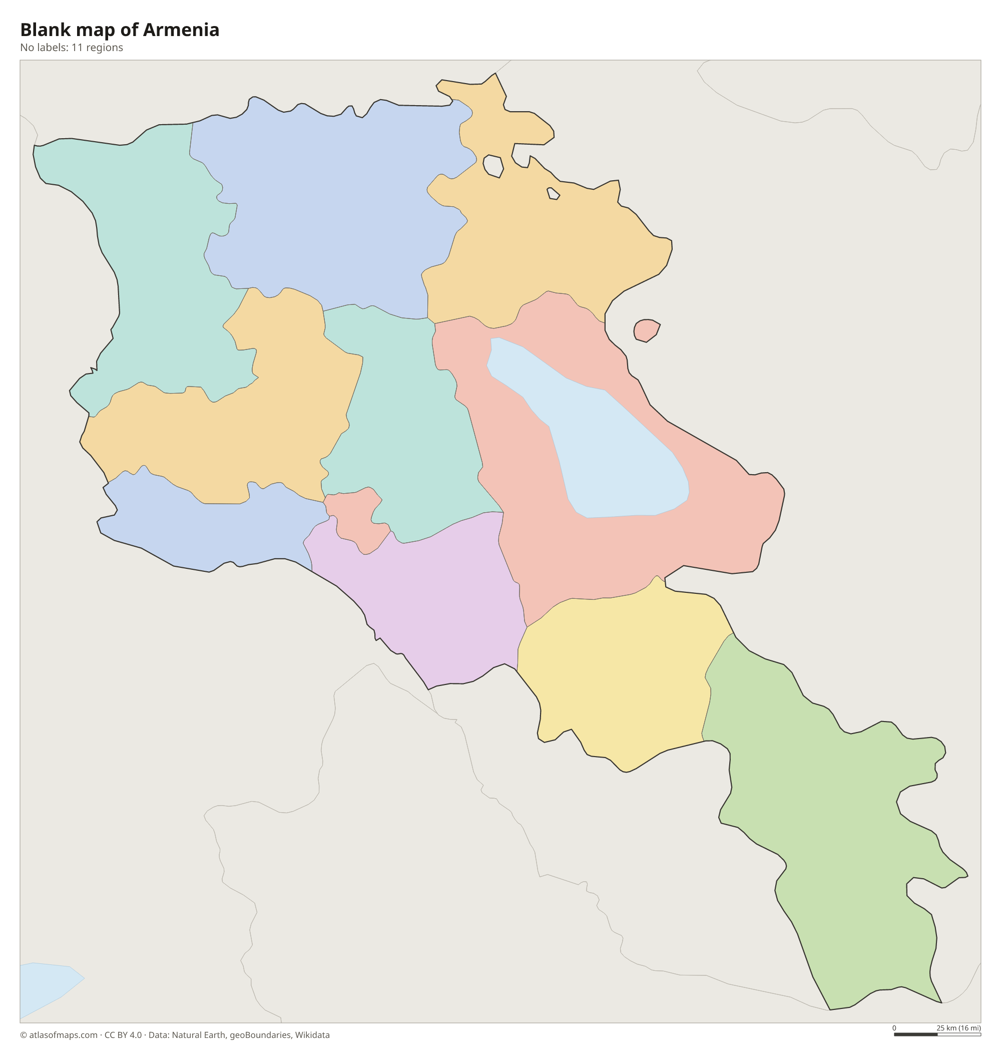
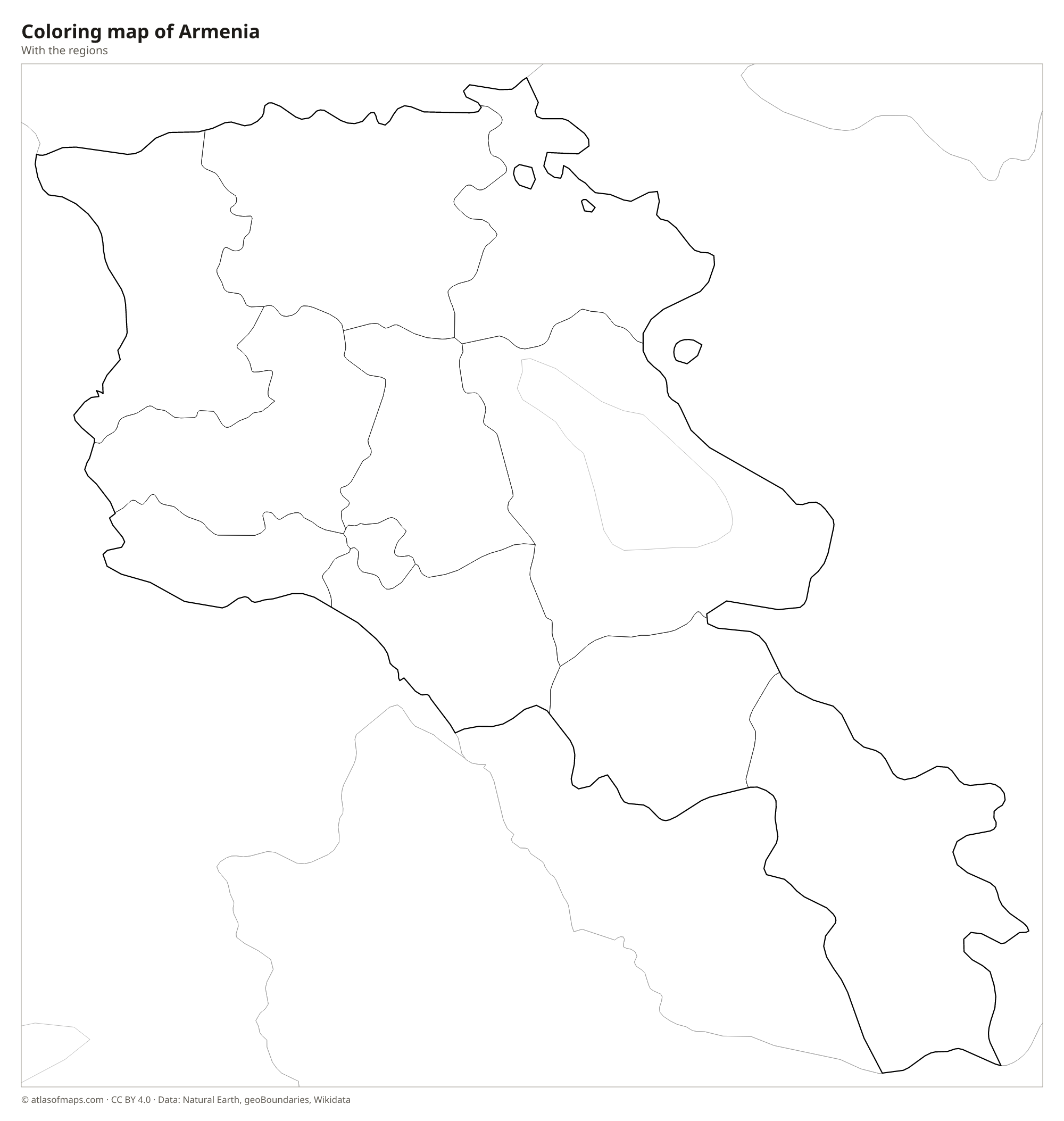
Blank and coloring maps of Armenia
Blank map of Armenia

Coloring map of Armenia

Geography of Armenia
Armenia covers 29,743 km² (11,484 sq mi) of the Armenian Highlands, and most of the country lies above 1,000 m (3,300 ft). Ridges of the Lesser Caucasus run through the north and south, separated by high plateaus and deep river canyons. Mount Aragats, a volcanic massif with four summits, rises to 4,090 m (13,419 ft) northwest of Yerevan and is the highest point. To the southwest, the snowcapped Mount Ararat, a national symbol, towers over the Ararat Plain but stands across the border in Turkey.
Lake Sevan, a large high-mountain lake in the east, is the country's main body of fresh water and the largest lake in the Caucasus. The Aras River forms parts of the borders with Turkey and Iran, and most Armenian rivers, including the Hrazdan, Arpa and Vorotan, drain toward it. In the north, the Debed River cuts a forested gorge toward Georgia. The climate is continental and dry, with hot summers on the Ararat Plain and long, cold winters in the highlands. About 2.9 million people (2017) live in Armenia, over a third of them in Yerevan.
Fun facts
- Mount Ararat, the snowcapped volcano shown on Armenia's coat of arms, lies across the border in Turkey but can be seen clearly from Yerevan.
- Lake Sevan lies about 1,900 m (6,200 ft) above sea level, high in the mountains east of Yerevan.
- Armenia has no coastline; its nearest seas are the Black Sea to the northwest and the Caspian Sea to the east.
Flag of Armenia
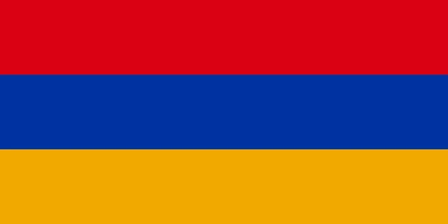
The flag of Armenia is a horizontal tricolor with three equal bands: red on top, blue in the middle and orange at the bottom. It carries no emblem or text. The orange band is often described as apricot, a fruit closely tied to Armenia. The flag is twice as wide as it is tall.
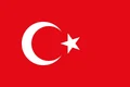
Countries bordering Armenia
Frequently asked questions
What countries border Armenia?
Armenia borders Georgia, Azerbaijan, Iran and Turkey. Part of its western and southern border is with Nakhchivan, an exclave of Azerbaijan.
How many provinces does Armenia have?
Armenia has 11 regions on the map: 10 provinces (marzer) and the capital, Yerevan, which is governed as a separate region with the same status as a province.
Is Armenia in Europe or Asia?
Geographically, Armenia lies in western Asia, in the South Caucasus. Because of its history and culture it is often grouped with Europe, and it is a member of the Council of Europe.
What is the capital of Armenia?
The capital of Armenia is Yerevan.
What language is spoken in Armenia?
The official language is Armenian.
Can I print the map of Armenia?
Yes. Every map on this page can be downloaded for free as PNG or PDF (US Letter) and printed, including the blank map and the coloring map. Please credit the source (Atlas of Maps, CC BY 4.0).
Use this map
You can download, print and share this map for free, in class, in school projects, in presentations and on websites, as long as you credit the source: Map of Armenia · Atlas of Maps (atlasofmaps.com), license CC BY 4.0.
See also: Map of Asia · World map