Map of Azerbaijan
Azerbaijan is a country in the South Caucasus, on the western shore of the Caspian Sea, where Eastern Europe and western Asia meet. It borders Russia to the north, Georgia to the northwest, Armenia to the west and Iran to the south; its Nakhchivan exclave also borders Turkey. The political map shows its regions, the capital, Baku, and major cities.

- Capital
- Baku
- Population
- 10.2 million (2023)
- Area
- 86,600 km² (33,436 sq mi)
- Population density
- 118 per km² (304 per sq mi)
- Official language
- Azerbaijani
- Currency
- Azerbaijani manat
- Demonym
- Azerbaijani
- Highest point
- Mount Bazardüzü (4,466 m (14,652 ft))
- Calling code
- +994
- Internet domain
- .az
- Official name
- Republic of Azerbaijan
Where is Azerbaijan?
Azerbaijan is a country in the South Caucasus, on the western shore of the Caspian Sea, where Eastern Europe and western Asia meet. It borders Russia to the north, Georgia to the northwest, Armenia to the west and Iran to the south; its Nakhchivan exclave also borders Turkey.
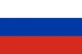
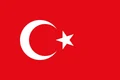
Neighboring countries: Armenia, Georgia, Iran, Russia, Turkey.

Regions of Azerbaijan and their capitals
Azerbaijan is divided into districts (rayons) and cities with district status. It also includes the Nakhchivan Autonomous Republic, an exclave cut off from the rest of the country by Armenia. The map's divisions come from Natural Earth and may not match the latest administrative reform.
The divisions on the map come from Natural Earth and may not reflect the latest territorial reform in Azerbaijan.
| Region | Capital | Population | Area |
|---|---|---|---|
| Absheron | Khyrdalan | 428,000 | 1,360 km² (525 sq mi) |
| Agdam | Aghdam | 174,800 | 1,154 km² (446 sq mi) |
| Agdash | Agdash | 103,700 | 1,050 km² (405 sq mi) |
| Aghjabadi | Aghjabadi | 135,500 | 1,760 km² (680 sq mi) |
| Agstafa | Aghstafa | 84,700 | 1,504 km² (581 sq mi) |
| Agsu | Aghsu | 78,000 | 1,020 km² (394 sq mi) |
| Astara | Astara | 107,900 | 616 km² (238 sq mi) |
| Babek | Babek | 76,000 | 82,842 km² (31,985 sq mi) |
| Baku | Baku | 2,300,500 | 2,140 km² (826 sq mi) |
| Balakan | Balakan | 97,600 | 923 km² (356 sq mi) |
| Barda | Barda | 153,100 | 957 km² (369 sq mi) |
| Beylagan | Beylagan | 98,000 | 1,131 km² (437 sq mi) |
| Bilasuvar | Bilasuvar | 102,000 | 1,358 km² (524 sq mi) |
| Dashkasan | Dashkasan | 32,900 | 1,047 km² (404 sq mi) |
| Fuzuli | Fuzuli | 125,400 | 1,386 km² (535 sq mi) |
| Gadabay | Gadabay | 95,600 | 1,290 km² (498 sq mi) |
| Ganja | — | 328,800 | 298 km² (115 sq mi) |
| Gobustan | Gobustan | 44,500 | 1,369 km² (529 sq mi) |
| Goranboy | Goranboy | 95,900 | 1,790 km² (691 sq mi) |
| Goychay | Goychay | 115,300 | 736 km² (284 sq mi) |
| Goygol | Goygol | 63,200 | 1,183 km² (457 sq mi) |
| Hajigabul | Hajigabul | 73,300 | 1,640 km² (633 sq mi) |
| Imishli | Imishli | 127,600 | 1,820 km² (703 sq mi) |
| Ismayilli | Ismayilli | 85,100 | 2,074 km² (801 sq mi) |
| Jabrayil | Jabrayil | 80,800 | 1,050 km² (405 sq mi) |
| Jalilabad | Jalilabad | 207,000 | 1,440 km² (556 sq mi) |
| Julfa | Julfa | 47,000 | 1,000 km² (386 sq mi) |
| Kalbajar | Kalbajar | 43,713 | 3,050 km² (1,178 sq mi) |
| Kangarli | Givrag | 32,700 | 70,489 km² (27,216 sq mi) |
| Khachmaz | Xaçmaz | 169,200 | 1,045 km² (403 sq mi) |
| Khizi | Khizi | 16,200 | 1,850 km² (714 sq mi) |
| Khojali | Khojaly | 25,332 | 970 km² (375 sq mi) |
| Khojavend | Khojavend | 43,871 | 1,458 km² (563 sq mi) |
| Kurdamir | Kurdamir | 114,700 | 1,631 km² (630 sq mi) |
| Lachin | — | — | — |
| Lankaran | — | — | — |
| Lankaran (city) | — | 51,300 | 70 km² (27 sq mi) |
| Lerik | Lerik | 82,400 | 1,084 km² (419 sq mi) |
| Masally | Masally | 221,100 | 721 km² (278 sq mi) |
| Mingachevir | — | 101,200 | 47 km² (18 sq mi) |
| Naftalan | — | — | — |
| Nakhchivan | — | 94,400 | 15 km² (5.8 sq mi) |
| Neftchala | Neftçala | 85,200 | 1,451 km² (560 sq mi) |
| Oghuz | Oghuz | 43,200 | 1,216 km² (470 sq mi) |
| Ordubad | Ordubad | 50,200 | 970 km² (375 sq mi) |
| Qabala | Qabala | 105,300 | 1,548 km² (598 sq mi) |
| Qakh | Qakh | 57,300 | 603 km² (233 sq mi) |
| Qazax | Gazakh | 94,300 | 701 km² (271 sq mi) |
| Quba | Guba | 164,700 | 2,574 km² (994 sq mi) |
| Qubadli | Gubadly | 31,504 | 802 km² (310 sq mi) |
| Qusar | Qusar | 99,500 | 1,542 km² (595 sq mi) |
| Saatly | Saatly | 106,500 | 1,180 km² (456 sq mi) |
| Sabirabad | Sabirabad | 173,200 | 1,470 km² (568 sq mi) |
| Sadarak | Heydarabad | 16,000 | 16,374 km² (6,322 sq mi) |
| Salyan | Salyan | 135,500 | 1,799 km² (695 sq mi) |
| Samukh | Samukh | 57,000 | 1,450 km² (560 sq mi) |
| Shabran | Shabran | 56,800 | 1,739 km² (671 sq mi) |
| Shahbuz | Shahbuz | 25,200 | 837 km² (323 sq mi) |
| Shaki | — | — | — |
| Shaki (city) | — | 68,360 | 9 km² (3.5 sq mi) |
| Shamakhi | Shamakhi | 101,800 | 1,611 km² (622 sq mi) |
| Shamkir | Şəmkir | 211,600 | 1,957 km² (756 sq mi) |
| Sharur | Sharur | 117,400 | 87,226 km² (33,678 sq mi) |
| Shusha | — | — | — |
| Shusha (city) | Shusha | 29,700 | 290 km² (112 sq mi) |
| Şirvan | — | 83,500 | 727 km² (281 sq mi) |
| Siyazan | Siyazan | 40,600 | 700 km² (270 sq mi) |
| Stepanakert | — | 49,848 | 29 km² (11 sq mi) |
| Sumqayit | — | 422,600 | 143 km² (55 sq mi) |
| Tartar | Tartar | 79,000 | 957 km² (369 sq mi) |
| Tovuz | Tovuz | 171,900 | 1,942 km² (750 sq mi) |
| Ujar | Ujar | 82,600 | 867 km² (335 sq mi) |
| Yardimli | Yardımlı | 65,400 | 667 km² (258 sq mi) |
| Yevlakh | Yevlakh | 125,600 | 1,537 km² (593 sq mi) |
| Yevlakh (city) | — | 59,036 | 95 km² (37 sq mi) |
| Zangilan | Zangilan | 32,500 | 707 km² (273 sq mi) |
| Zaqatala | Zagatala | 127,300 | 1,350 km² (521 sq mi) |
| Zardab | Zardab | 57,800 | 856 km² (331 sq mi) |
Population from Wikidata (latest figure available for each region).
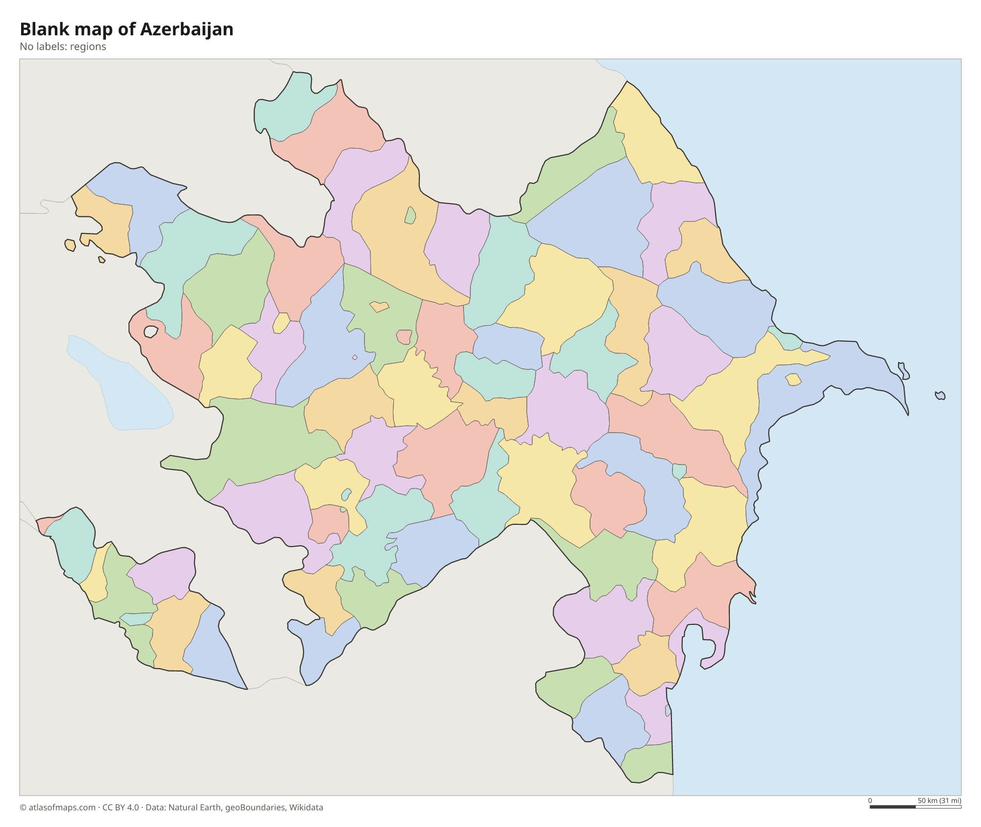
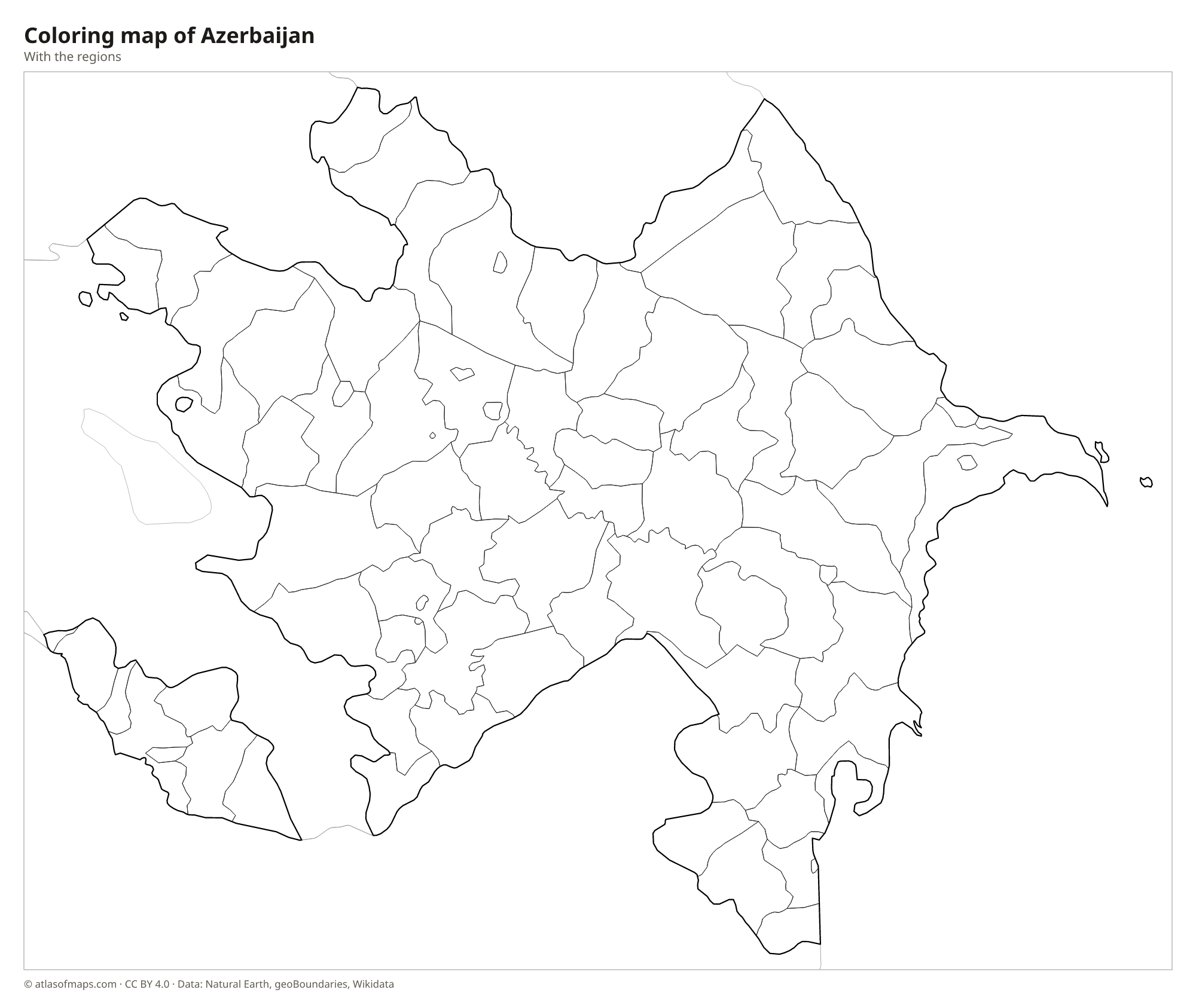
Blank and coloring maps of Azerbaijan
Blank map of Azerbaijan

Coloring map of Azerbaijan

Geography of Azerbaijan
Azerbaijan covers 86,600 km² (33,436 sq mi). The Greater Caucasus rises along the northern border with Russia, where Mount Bazardüzü reaches 4,466 m (14,652 ft), the highest point. The Lesser Caucasus runs through the west, and the Talysh Mountains line the southern border with Iran. Between these ranges spreads the broad Kura-Aras Lowland, parts of which lie below sea level. The Absheron Peninsula, home to Baku, juts into the Caspian Sea and is known for its mud volcanoes and natural gas fires such as Yanar Dag.
The Kura, the longest river in the Caucasus, flows across the country from Georgia and is joined by the Aras before reaching the Caspian. The Aras also forms much of the border with Iran. The climate varies a great deal: dry and semi-desert on the coast around Baku, humid and subtropical in the Lankaran lowland in the south, and cold in the high mountains. The Caspian coast lies below sea level, and Baku is the lowest-lying national capital in the world. About 10.2 million people (2023) live in Azerbaijan.
Fun facts
- Baku, on the Absheron Peninsula, is the largest city in the Caucasus region.
- Nakhchivan, an autonomous exclave of Azerbaijan, is separated from the main part of the country by a strip of Armenian territory.
- Gobustan, south of Baku, is known for its prehistoric rock carvings and its many mud volcanoes.
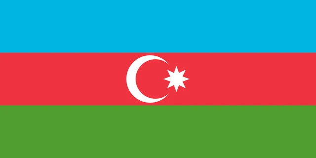
Flag of Azerbaijan
The flag of Azerbaijan has three equal horizontal bands of light blue, red and green. In the center of the red band are a white crescent and a white eight-pointed star. The crescent opens toward the fly, with the star placed just beside it. The flag is twice as wide as it is tall.
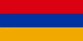
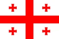
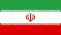
Countries bordering Azerbaijan
Frequently asked questions
What countries border Azerbaijan?
Azerbaijan borders Russia, Georgia, Armenia and Iran. Its Nakhchivan exclave borders Armenia, Iran and a short stretch of Turkey. To the east lies the Caspian Sea.
Is Azerbaijan in Europe or Asia?
Azerbaijan lies in the South Caucasus, where Europe and Asia meet. It is usually counted as part of western Asia, but it has close ties with Europe and is a member of the Council of Europe.
What sea is Azerbaijan on?
Azerbaijan lies on the Caspian Sea, the largest inland body of water in the world. The Caspian has no outlet to the ocean, so the country has no direct access to the open sea.
What is the capital of Azerbaijan?
The capital of Azerbaijan is Baku.
What language is spoken in Azerbaijan?
The official language is Azerbaijani.
Can I print the map of Azerbaijan?
Yes. Every map on this page can be downloaded for free as PNG or PDF (US Letter) and printed, including the blank map and the coloring map. Please credit the source (Atlas of Maps, CC BY 4.0).
Use this map
You can download, print and share this map for free, in class, in school projects, in presentations and on websites, as long as you credit the source: Map of Azerbaijan · Atlas of Maps (atlasofmaps.com), license CC BY 4.0.
See also: Map of Asia · World map