Map of Georgia with regions and capitals
Georgia is a country in the Caucasus region, where Eastern Europe meets Western Asia. It borders Russia to the north, Azerbaijan to the southeast, Armenia and Turkey to the south, and has a coastline on the Black Sea to the west. The political map shows its 12 regions, the capital, Tbilisi, and major cities.

- Capital
- Tbilisi
- Population
- 3.9 million (2024)
- Area
- 69,700 km² (26,911 sq mi)
- Population density
- 56 per km² (146 per sq mi)
- Official language
- Georgian
- Currency
- Georgian lari
- Demonym
- Georgian
- Regions
- 12
- Highest point
- Shkhara (5,193 m (17,037 ft))
- Calling code
- +995
- Internet domain
- .ge
Where is Georgia?
Georgia is a country in the Caucasus region, where Eastern Europe meets Western Asia. It borders Russia to the north, Azerbaijan to the southeast, Armenia and Turkey to the south, and has a coastline on the Black Sea to the west.
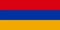
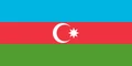
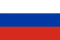
Neighboring countries: Armenia, Azerbaijan, Russia, Turkey.

Regions of Georgia and their capitals
Georgia has 12 first-level units on the map: 9 regions (mkhare), the autonomous republics of Abkhazia and Adjara, and the capital, Tbilisi. Abkhazia and the Tskhinvali region (South Ossetia) are outside the control of the Georgian government, and Russia recognizes them as independent states.
| Region | Capital | Population | Area |
|---|---|---|---|
| Abkhazia | Sokhumi | 243,564 | 8,665 km² (3,346 sq mi) |
| Adjara | Batumi | 402,929 | 2,919 km² (1,127 sq mi) |
| Guria | Ozurgeti | 102,408 | 2,033 km² (785 sq mi) |
| Imereti | Kutaisi | 510,741 | 6,516 km² (2,516 sq mi) |
| Kakheti | Telavi | 303,833 | 11,310 km² (4,367 sq mi) |
| Kvemo Kartli | Rustavi | 423,986 | 6,528 km² (2,520 sq mi) |
| Mtskheta-Mtianeti | Mtskheta | 94,039 | 6,785 km² (2,620 sq mi) |
| Racha-Lechkhumi and Kvemo Svaneti | Ambrolauri | 29,901 | 4,690 km² (1,811 sq mi) |
| Samegrelo-Zemo Svaneti | Zugdidi | 305,597 | 7,441 km² (2,873 sq mi) |
| Samtskhe–Javakheti | Akhaltsikhe | 155,282 | 6,413 km² (2,476 sq mi) |
| Shida Kartli | Gori | 251,736 | 4,807 km² (1,856 sq mi) |
| Tbilisi | Tbilisi | 1,331,485 | 720 km² (278 sq mi) |
Population from Wikidata (latest figure available for each region).
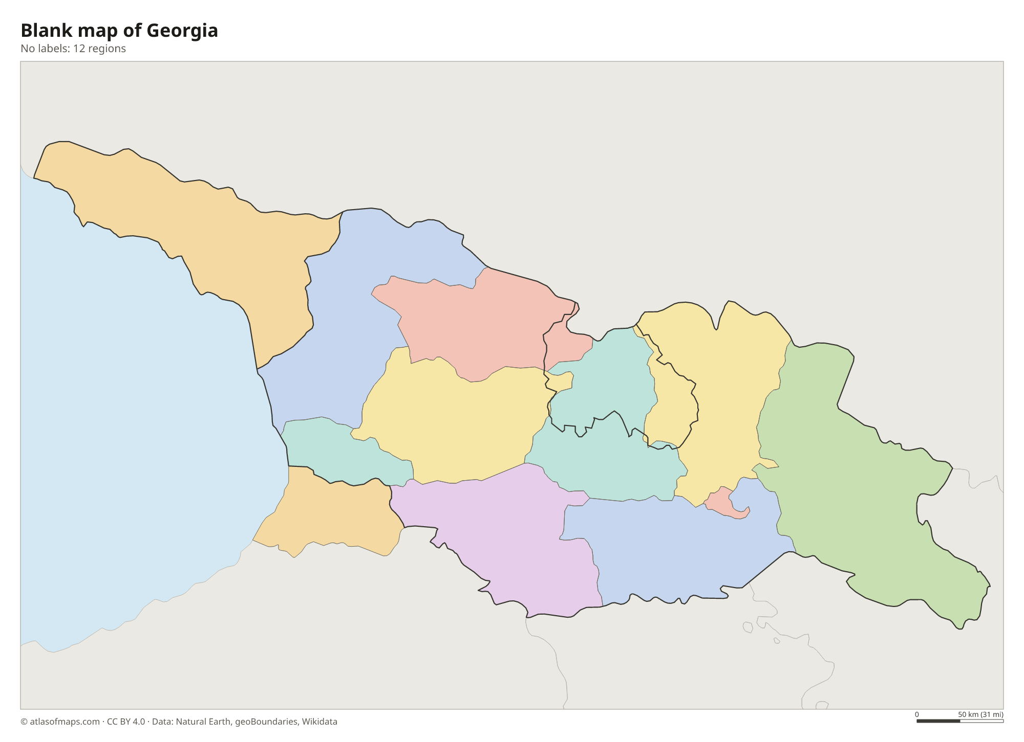
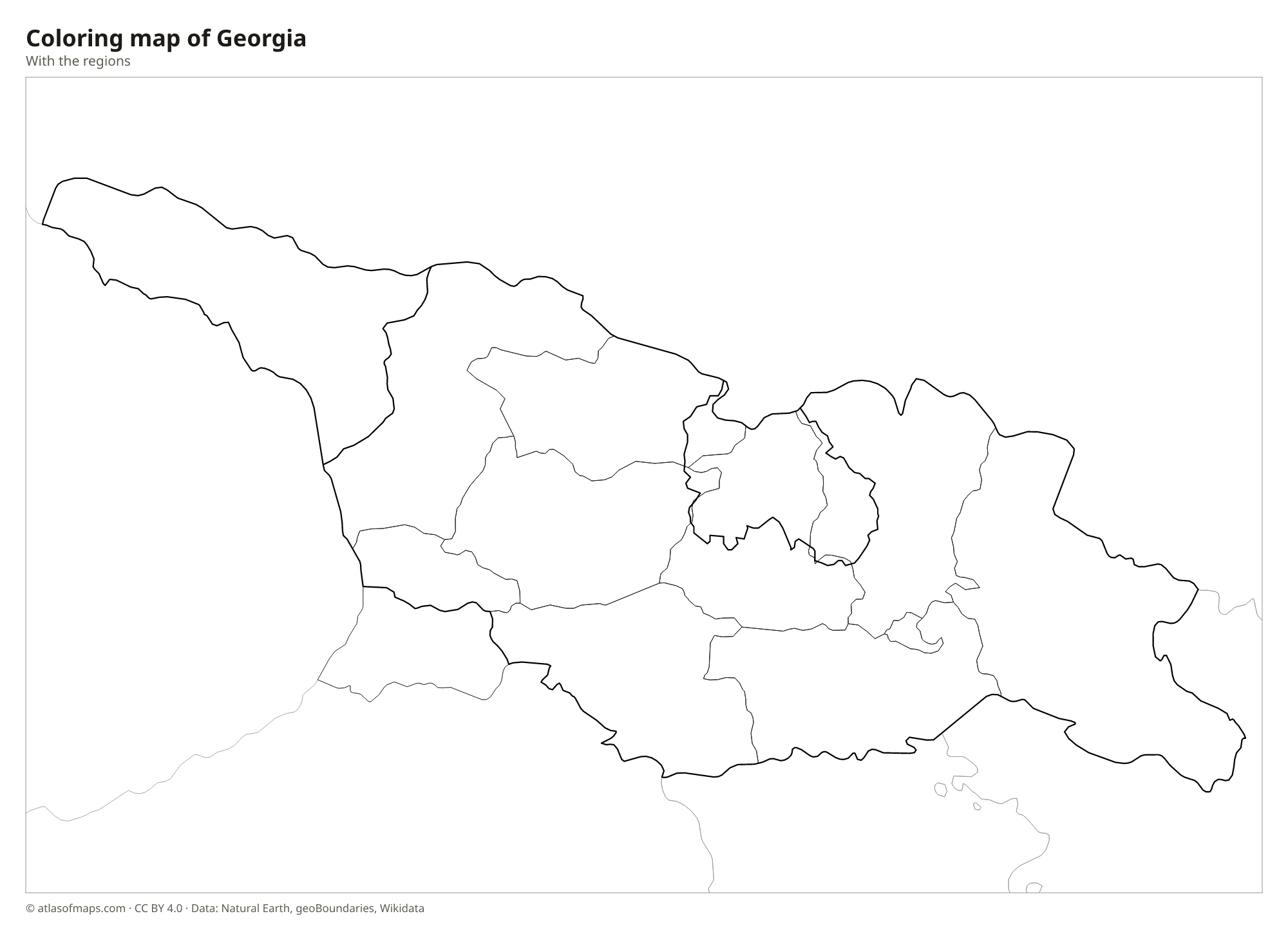
Blank and coloring maps of Georgia
Blank map of Georgia

Coloring map of Georgia

Geography of Georgia
Georgia covers 69,700 km² (26,911 sq mi) and is framed by mountains. The Greater Caucasus runs along the entire northern border with Russia and includes some of the highest peaks in the region; Shkhara, at 5,193 m (17,037 ft), is the highest point in Georgia. In the south rise the Lesser Caucasus and the volcanic Javakheti Plateau. Between the two ranges lie lowlands: the Colchis Plain in the west, opening onto the Black Sea, and the plains of Kartli and Kakheti in the east, separated from the west by the Likhi Range.
The Likhi Range also divides the climate. Western Georgia is humid and subtropical, with heavy rain on the Black Sea coast around Batumi, while eastern Georgia is drier and more continental, with hot summers and cold winters. The Mtkvari (Kura) River flows through Tbilisi on its way to the Caspian Sea, and the Rioni drains the west to the Black Sea. High valleys such as Svaneti have glaciers and medieval stone towers, and the Kakheti region in the east is a center of winemaking.
Fun facts
- Veryovkina Cave in the Arabika Massif of Abkhazia is the deepest known cave in the world.
- Archaeologists have found traces of winemaking in Georgia from about 8,000 years ago, among the oldest known anywhere.
- Ushguli, a group of villages in Svaneti, is one of the highest permanently inhabited settlements in Europe.
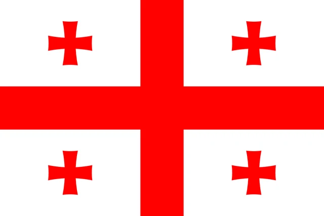
Flag of Georgia
The flag of Georgia is white with a large red cross, the Saint George's Cross, that divides it into four quarters. Each quarter holds a smaller red cross with flared arms, known as a Bolnisi cross. Because of this layout, it is often called the five-cross flag.
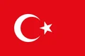
Countries bordering Georgia
Frequently asked questions
Is Georgia in Europe or Asia?
Georgia lies in the Caucasus, on the dividing line between Europe and Asia. Geographically it is often placed in Western Asia, but the country sees itself as European and has close political ties with Europe.
How many regions does Georgia have?
Georgia has 12 regions on the map: 9 regular regions, the autonomous republics of Abkhazia and Adjara, and the capital, Tbilisi. Abkhazia is not under the control of the Georgian government.
Is the country Georgia named after the US state?
No, the two simply share a name. The US state was named after King George II of Great Britain, while the country's name comes from much older names for the region and its people.
What is the capital of Georgia?
The capital of Georgia is Tbilisi.
What countries border Georgia?
Georgia shares land borders with Armenia, Azerbaijan, Russia, and Turkey.
What language is spoken in Georgia?
The official language is Georgian.
Can I print the map of Georgia?
Yes. Every map on this page can be downloaded for free as PNG or PDF (US Letter) and printed, including the blank map and the coloring map. Please credit the source (Atlas of Maps, CC BY 4.0).
Use this map
You can download, print and share this map for free, in class, in school projects, in presentations and on websites, as long as you credit the source: Map of Georgia · Atlas of Maps (atlasofmaps.com), license CC BY 4.0.
See also: Map of Asia · World map