Map of the Netherlands with provinces and capitals
The Netherlands is a country in northwestern Europe on the North Sea. It borders Germany to the east and Belgium to the south, and much of its low, flat land lies at or below sea level. The political map shows its 12 provinces and 3 special municipalities in the Caribbean, the capital, Amsterdam, and major cities.

- Capital
- Amsterdam
- Population
- 17.9 million (2024)
- Area
- 37,378 km² (14,432 sq mi)
- Population density
- 480 per km² (1,243 per sq mi)
- Official language
- Dutch
- Currency
- euro
- Demonym
- Dutch
- Divisions
- 12 provinces and 3 special municipalities in the Caribbean
- Highest point
- Mount Scenery (870 m (2,854 ft))
- Calling code
- +31
- Internet domain
- .nl
- Also known as
- Holland
Where is the Netherlands?
The Netherlands is a country in northwestern Europe on the North Sea. It borders Germany to the east and Belgium to the south, and much of its low, flat land lies at or below sea level.

Provinces of the Netherlands and their capitals
The Netherlands is divided into 12 provinces, such as North Holland, South Holland and Friesland, plus 3 special municipalities in the Caribbean: Bonaire, Sint Eustatius and Saba. The Caribbean islands lie far from the European mainland.
| Province | Capital | Population | Area |
|---|---|---|---|
| Bonaire | Kralendijk | 24,090 | 288 km² (111 sq mi) |
| Drenthe | Assen | 491,792 | 2,680 km² (1,035 sq mi) |
| Flevoland | Lelystad | 399,893 | 1,419 km² (548 sq mi) |
| Friesland | Leeuwarden | 649,944 | 5,749 km² (2,220 sq mi) |
| Gelderland | Arnhem | 2,019,692 | 5,137 km² (1,983 sq mi) |
| Groningen | Groningen | 582,728 | 2,960 km² (1,143 sq mi) |
| Limburg | Maastricht | 1,120,006 | 2,153 km² (831 sq mi) |
| North Brabant | 's-Hertogenbosch | 2,256,848 | 4,919 km² (1,899 sq mi) |
| North Holland | Haarlem | 2,813,466 | 4,092 km² (1,580 sq mi) |
| Overijssel | Zwolle | 1,142,360 | 3,327 km² (1,285 sq mi) |
| Saba | The Bottom | 2,035 | 13 km² (5 sq mi) |
| Sint Eustatius | Oranjestad | 3,293 | 21 km² (8.1 sq mi) |
| South Holland | The Hague | 3,577,032 | 3,419 km² (1,320 sq mi) |
| Utrecht | Utrecht | 1,253,672 | 1,386 km² (535 sq mi) |
| Zeeland | Middelburg | 386,707 | 2,934 km² (1,133 sq mi) |
Population from Wikidata (latest figure available for each province).
Blank and coloring maps of the Netherlands
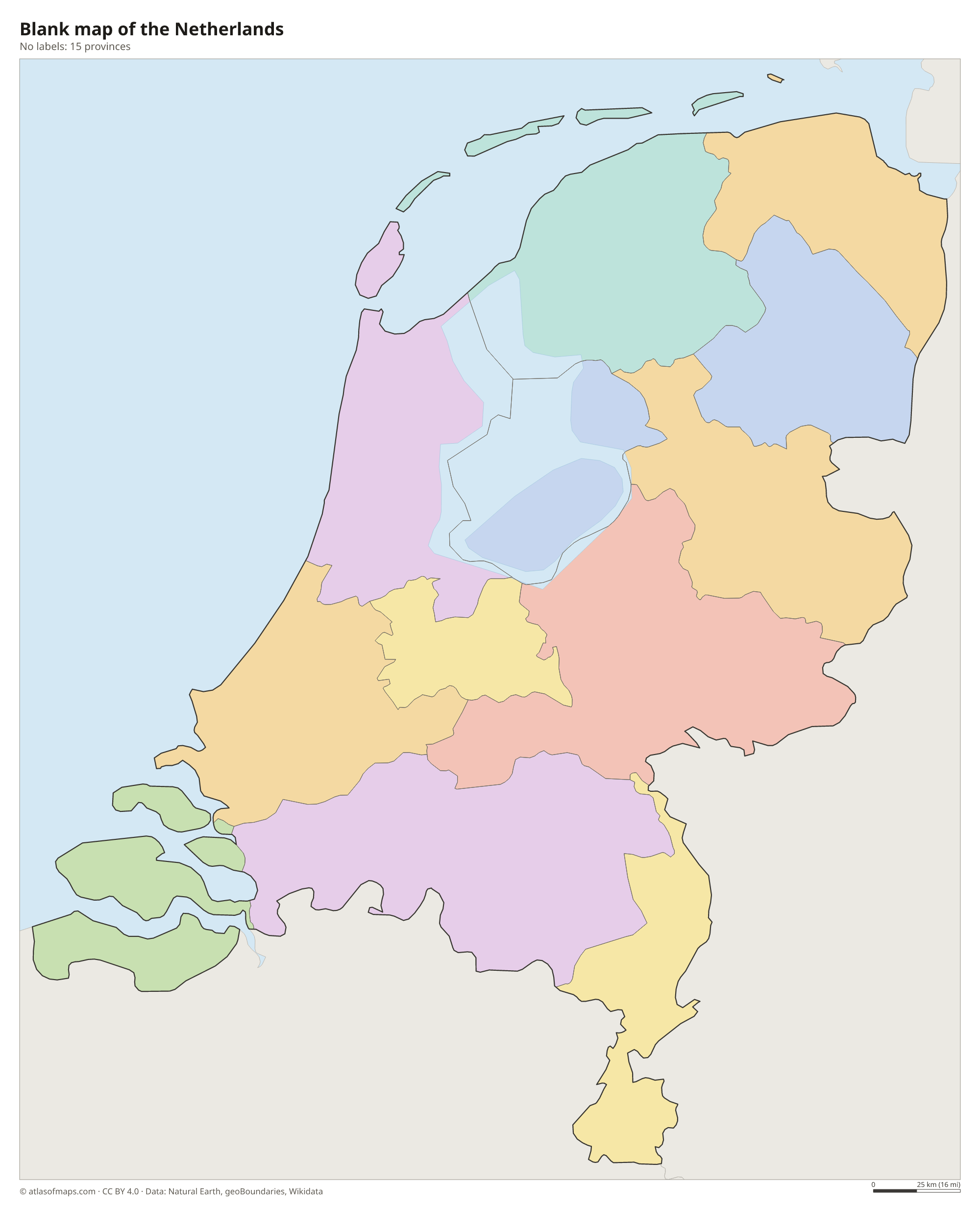
Blank map of the Netherlands

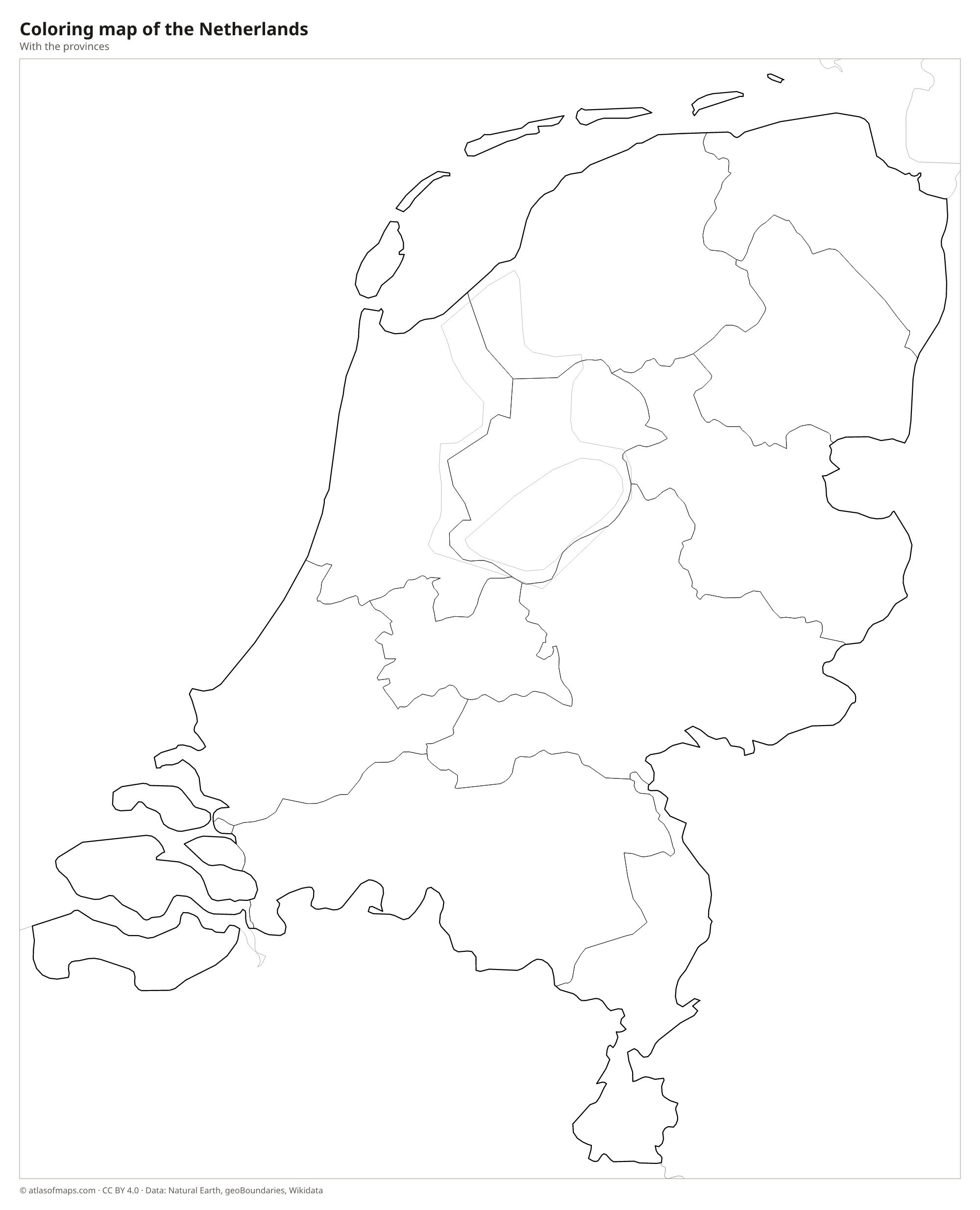
Coloring map of the Netherlands

Geography of the Netherlands
The Netherlands covers 37,378 km² (14,432 sq mi) and is famously flat: about a quarter of it lies below sea level, protected by dunes, dikes and pumping stations. Much of the west consists of polders, land reclaimed from lakes and the sea. The ground rises only in the east and in the far south, where the Vaalserberg reaches 322 m (1,056 ft) near the border with Belgium and Germany. The highest point of the whole country, Mount Scenery at 870 m (2,854 ft), is on the Caribbean island of Saba.
Three major rivers, the Rhine, the Meuse (Maas) and the Scheldt, reach the sea through a shared delta in the southwest, where the dams and barriers of the Delta Works protect the province of Zeeland from storm floods. In the north, the Afsluitdijk, a long dam, turned a former sea inlet into the freshwater IJsselmeer. The Wadden Islands and the tidal flats of the Wadden Sea line the northern coast. The climate is temperate and maritime, with mild summers, cool winters and frequent wind and rain.
Fun facts
- Flevoland, the newest province, was created in 1986 almost entirely on land reclaimed from the sea.
- Amsterdam is the capital, but the government and parliament sit in The Hague.
- Schiphol Airport near Amsterdam lies several meters below sea level on the bed of a drained lake.
Flag of the Netherlands
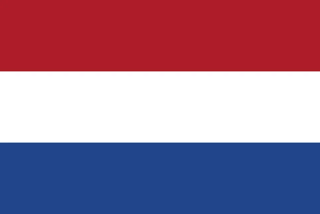
The flag of the Netherlands has three equal horizontal bands of red, white and blue, from top to bottom, with no emblem. The red is a bright vermilion and the blue a deep cobalt, and the flag has a 2:3 ratio. On royal occasions, an orange pennant may be flown above it.
Countries bordering the Netherlands
Frequently asked questions
What countries border the Netherlands?
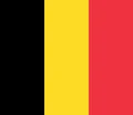
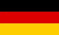
In Europe, the Netherlands borders Germany to the east and Belgium to the south. Its western and northern sides face the North Sea.
How many provinces does the Netherlands have?
The Netherlands has 12 provinces, plus 3 special municipalities in the Caribbean: Bonaire, Sint Eustatius and Saba. Flevoland is the newest province, and South Holland has the most people.
Is Holland the same as the Netherlands?
Not exactly. Holland is a historic region made up of today's North Holland and South Holland provinces, home to Amsterdam, Rotterdam and The Hague, but the name is often used for the whole country.
What is the capital of the Netherlands?
The capital of the Netherlands is Amsterdam.
What language is spoken in the Netherlands?
The official language is Dutch.
Can I print the map of the Netherlands?
Yes. Every map on this page can be downloaded for free as PNG or PDF (US Letter) and printed, including the blank map and the coloring map. Please credit the source (Atlas of Maps, CC BY 4.0).
Use this map
You can download, print and share this map for free, in class, in school projects, in presentations and on websites, as long as you credit the source: Map of the Netherlands · Atlas of Maps (atlasofmaps.com), license CC BY 4.0.
See also: Map of Europe · Map of the European Union · World map