Map of Botswana
Botswana is a landlocked country in southern Africa. It borders South Africa to the south and southeast, Namibia to the west and north, and Zimbabwe to the northeast, and meets Zambia at a very short border on the Zambezi River near Kazungula. The political map shows its regions, the capital, Gaborone, and major cities.

- Capital
- Gaborone
- Population
- 2.5 million (2023)
- Area
- 581,737 km² (224,610 sq mi)
- Population density
- 4 per km² (11 per sq mi)
- Official language
- English
- Currency
- Botswana pula
- Demonym
- Motswana
- Highest point
- Otse Hill (1,491 m (4,892 ft))
- Calling code
- +267
- Internet domain
- .bw
- Official name
- Republic of Botswana
Where is Botswana?
Botswana is a landlocked country in southern Africa. It borders South Africa to the south and southeast, Namibia to the west and north, and Zimbabwe to the northeast, and meets Zambia at a very short border on the Zambezi River near Kazungula.
Neighboring countries: Namibia, South Africa, Zimbabwe.

Regions of Botswana and their capitals
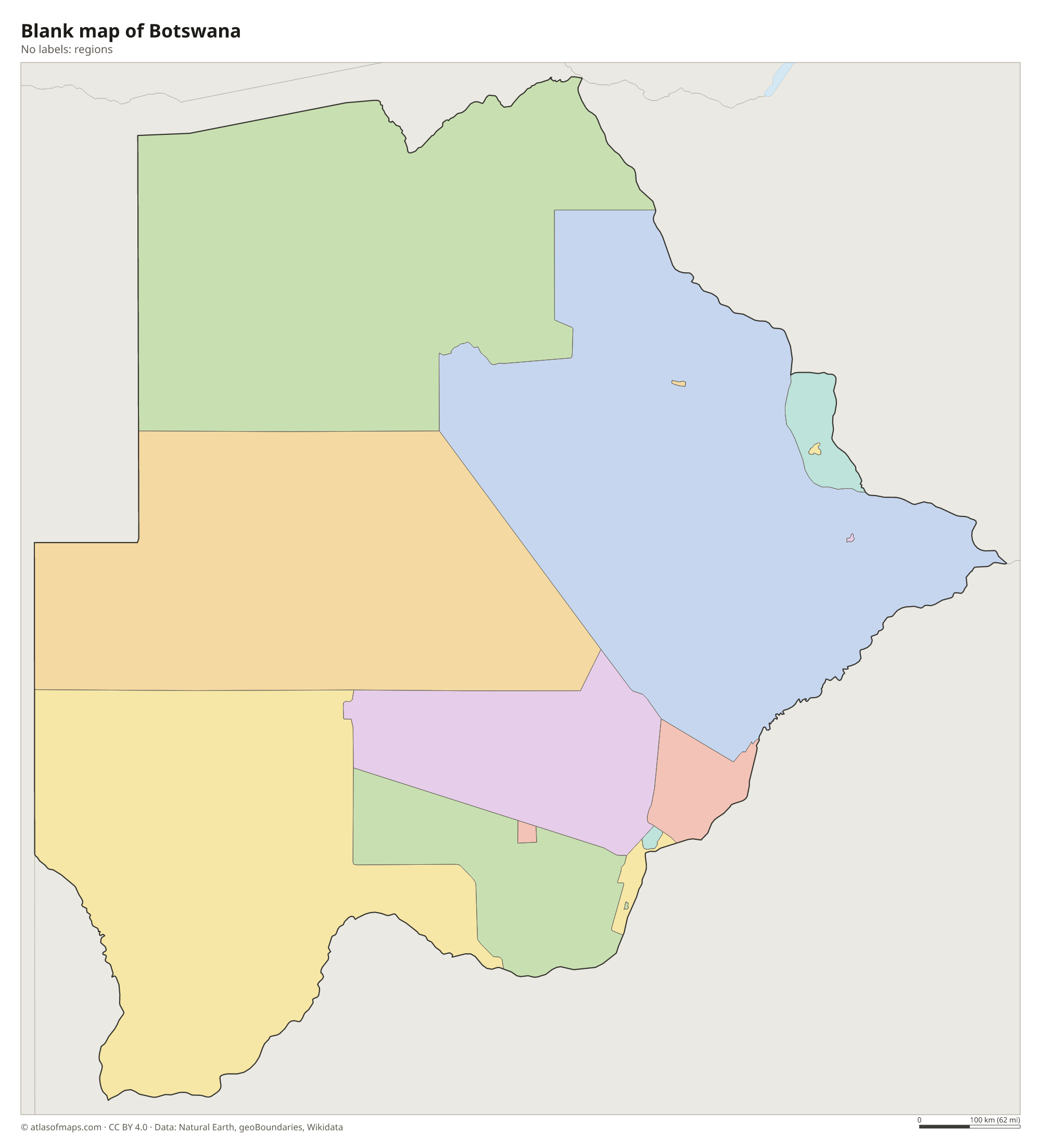
Botswana is divided into districts, such as Central, Ghanzi, Kgalagadi and North-West, along with several town and city councils, including Gaborone and Francistown. The districts on the map come from Natural Earth and may not reflect the latest changes.
The divisions on the map come from Natural Earth and may not reflect the latest territorial reform in Botswana.
| Region | Capital | Population | Area |
|---|---|---|---|
| Central | Serowe | 563,260 | 147,730 km² (57,039 sq mi) |
| Francistown | — | — | — |
| Gaborone | Gaborone | 235,884 | 169 km² (65 sq mi) |
| Ghanzi | Ghanzi | 43,355 | 117,910 km² (45,525 sq mi) |
| Jwaneng | — | — | — |
| Kgalagadi | Tshabong | 50,492 | 106,940 km² (41,290 sq mi) |
| Kgatleng | Mochudi | 91,660 | 7,960 km² (3,073 sq mi) |
| Kweneng | Molepolole | 230,335 | 35,890 km² (13,857 sq mi) |
| Lobatse | — | 26,900 | — |
| North-East | Francistown | 132,422 | 5,120 km² (1,977 sq mi) |
| North-West | Maun | 152,284 | 129,930 km² (50,166 sq mi) |
| Selebi-Phikwe | — | 49,724 | — |
| South-East | Ramotswa | 345,613 | 1,780 km² (687 sq mi) |
| Southern | Kanye | 215,775 | 28,470 km² (10,992 sq mi) |
| Sowa | — | — | — |
Population from Wikidata (latest figure available for each region).
Blank and coloring maps of Botswana
Blank map of Botswana

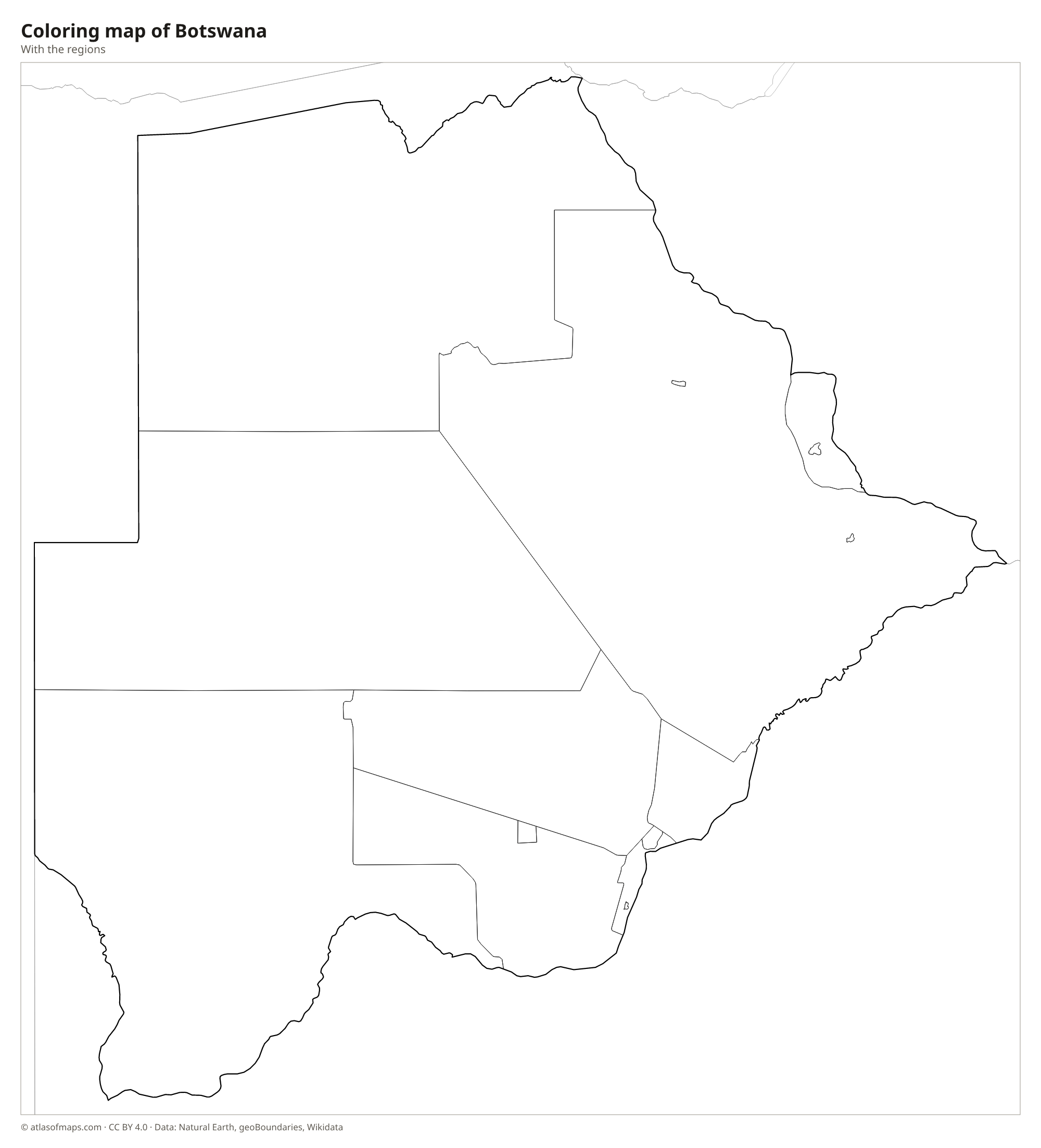
Coloring map of Botswana

Geography of Botswana
Botswana covers 581,737 km² (224,610 sq mi), and most of it is a flat, sandy plateau about 1,000 m (3,300 ft) above sea level. The Kalahari Desert covers much of the center and southwest, though its red sands support grasses, shrubs and trees. In the north, the Okavango River spreads out across the sand into the Okavango Delta, a huge inland delta of channels, lagoons and islands. The east is slightly higher and wetter, and the highest point, Otse Hill, reaches 1,491 m (4,892 ft) near Gaborone.
The Okavango never reaches the sea: its water spreads out and evaporates in the Kalahari. To the east lie the Makgadikgadi Pans, the remains of a vast ancient lake and now among the largest salt pans in the world. In the north, the Chobe River marks part of the border with Namibia, and the Limpopo forms the southeastern border with South Africa. The climate is semi-arid, with hot, rainy summers and dry, mild winters. About 2.5 million people (2023) live in Botswana, most of them in the east.
Fun facts
- The Okavango Delta is one of the largest inland deltas in the world and a UNESCO World Heritage Site.
- Botswana has one of the largest elephant populations in Africa, concentrated around the Chobe and Okavango regions.
- The Tsodilo Hills in the northwest contain thousands of ancient rock paintings and are a UNESCO World Heritage Site.
Flag of Botswana
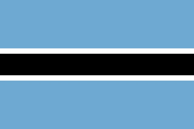
The flag of Botswana is light blue with a black horizontal band across the middle. Thin white stripes border the black band above and below. The flag carries no emblem, and the blue fields above and below the band are equal in size.
Countries bordering Botswana
Frequently asked questions
What countries border Botswana?
Botswana borders South Africa, Namibia and Zimbabwe. It also meets Zambia at a very short border on the Zambezi River, crossed by the Kazungula Bridge.
What desert is in Botswana?
The Kalahari Desert covers much of Botswana, especially the center and southwest. It is a semi-desert of red sand with grasses and bushes rather than bare dunes.
Where is the Okavango Delta?
The Okavango Delta lies in northwestern Botswana, where the Okavango River, flowing in from Angola through Namibia, spreads out across the Kalahari instead of reaching the sea.
What is the capital of Botswana?
The capital of Botswana is Gaborone.
What language is spoken in Botswana?
The official language is English.
Can I print the map of Botswana?
Yes. Every map on this page can be downloaded for free as PNG or PDF (US Letter) and printed, including the blank map and the coloring map. Please credit the source (Atlas of Maps, CC BY 4.0).
Use this map
You can download, print and share this map for free, in class, in school projects, in presentations and on websites, as long as you credit the source: Map of Botswana · Atlas of Maps (atlasofmaps.com), license CC BY 4.0.
See also: Map of Africa · World map