Map of Zimbabwe with regions and capitals
Zimbabwe is a landlocked country in southern Africa, between the Zambezi River in the north and the Limpopo River in the south. It borders Zambia to the north, Mozambique to the east, South Africa to the south and Botswana to the west. The political map shows its 10 regions, the capital, Harare, and major cities.

- Capital
- Harare
- Population
- 15.2 million (2022)
- Area
- 390,757 km² (150,872 sq mi)
- Population density
- 39 per km² (101 per sq mi)
- Official languages
- English, Shona, Northern Ndebele, Chewa, Barwe, and Kalanga
- Currency
- United States dollar, Zimbabwe ZiG, and pound sterling
- Demonym
- Zimbabwean
- Regions
- 10
- Highest point
- Mount Nyangani (2,592 m (8,504 ft))
- Calling code
- +263
- Internet domain
- .zw
Where is Zimbabwe?
Zimbabwe is a landlocked country in southern Africa, between the Zambezi River in the north and the Limpopo River in the south. It borders Zambia to the north, Mozambique to the east, South Africa to the south and Botswana to the west.
Neighboring countries: Botswana, Mozambique, South Africa, Zambia.

Regions of Zimbabwe and their capitals
Zimbabwe is divided into 10 provinces: eight regular provinces and the two cities of Harare and Bulawayo, which have provincial status. Mashonaland and Matabeleland are each split into several provinces, named after their main peoples, the Shona and the Ndebele.
| Region | Capital | Population | Area |
|---|---|---|---|
| Bulawayo | — | 665,940 | 1,707 km² (659 sq mi) |
| Harare | Harare | — | 872 km² (337 sq mi) |
| Manicaland | Mutare | — | 36,459 km² (14,077 sq mi) |
| Mashonaland Central | Bindura | 1,166,928 | 28,347 km² (10,945 sq mi) |
| Mashonaland East | Marondera | — | 32,230 km² (12,444 sq mi) |
| Mashonaland West | Chinhoyi | — | 57,441 km² (22,178 sq mi) |
| Masvingo | Masvingo | — | 56,566 km² (21,840 sq mi) |
| Matabeleland North | — | 827,645 | 75,025 km² (28,967 sq mi) |
| Matabeleland South | Gwanda | — | 54,172 km² (20,916 sq mi) |
| Midlands | Gweru | — | 49,166 km² (18,983 sq mi) |
Population from Wikidata (latest figure available for each region).
Blank and coloring maps of Zimbabwe
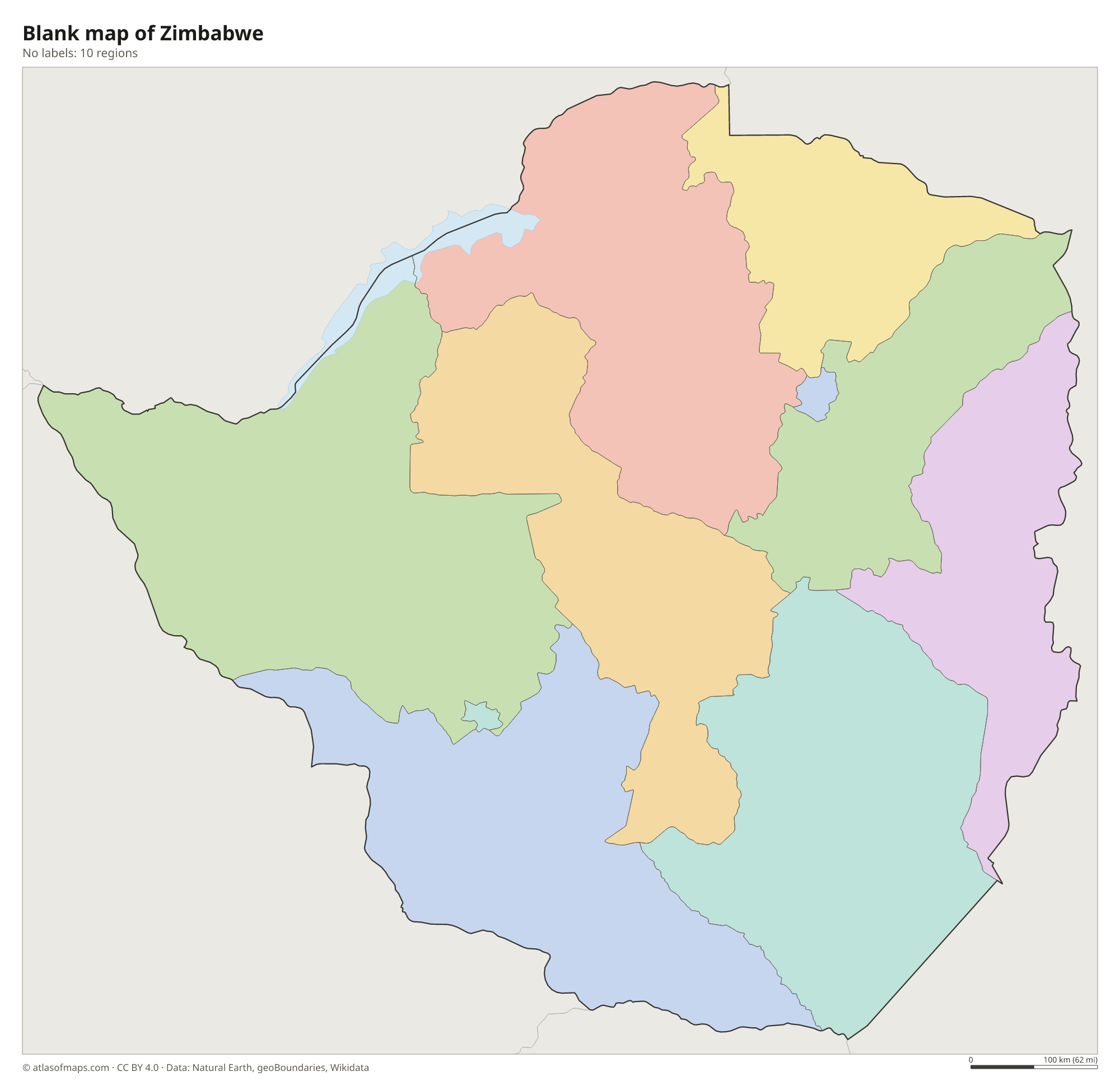
Blank map of Zimbabwe

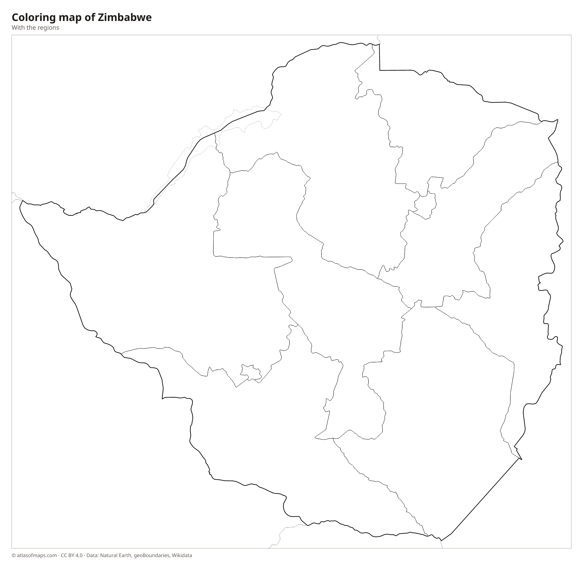
Coloring map of Zimbabwe

Geography of Zimbabwe
Zimbabwe covers about 390,757 km² (150,872 sq mi), and much of it is high plateau. The Highveld, a broad ridge more than 1,200 m (3,937 ft) high, runs across the center from southwest to northeast and holds the main cities, including Harare and Bulawayo. It slopes down to the Middleveld and then to the hotter Lowveld along the Zambezi and Limpopo. On the eastern border with Mozambique, the Eastern Highlands rise to Mount Nyangani, the highest point at 2,592 m (8,504 ft). In the south, the Matobo Hills are known for their huge granite boulders.
The Zambezi forms the northern border with Zambia, falling over Victoria Falls and then filling Lake Kariba, a large reservoir shared with Zambia. The Limpopo forms the border with South Africa, and the Save River drains the southeast toward Mozambique. Hwange National Park in the west lies on the edge of the Kalahari sands. The climate is tropical but moderated by altitude, with a rainy season from about November to March and a cool, dry winter.
Fun facts
- Zimbabwe takes its name from Great Zimbabwe, a medieval stone city in the southeast; the name is usually translated as houses of stone.
- The spray rising from Victoria Falls can be seen from far away, which explains its local name, the smoke that thunders.
- The Kariba Dam on the Zambezi, completed in the late 1950s, created Lake Kariba on the border with Zambia.
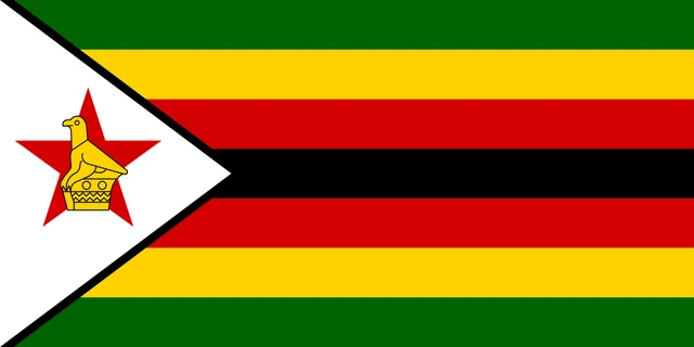
Flag of Zimbabwe
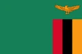
The flag of Zimbabwe has seven horizontal stripes: green, yellow, red, black, red, yellow and green. At the hoist is a white triangle with a black border, holding a red five-pointed star on which stands the yellow Zimbabwe Bird. The flag is twice as long as it is tall.
Countries bordering Zimbabwe
Frequently asked questions
What countries border Zimbabwe?
Zimbabwe borders four countries: Zambia to the north, Mozambique to the east, South Africa to the south and Botswana to the west. It has no coastline.
How many provinces does Zimbabwe have?
Zimbabwe has 10 provinces, including the cities of Harare and Bulawayo, which have provincial status. The others are Manicaland, Mashonaland Central, Mashonaland East, Mashonaland West, Masvingo, Matabeleland North, Matabeleland South and Midlands.
What is the capital of Zimbabwe?
Harare, in the northeast on the Highveld plateau, is the capital and largest city of Zimbabwe. Bulawayo, in the southwest, is the second-largest city.
What language is spoken in Zimbabwe?
The official languages are English, Shona, Northern Ndebele, Chewa, Barwe, and Kalanga.
Can I print the map of Zimbabwe?
Yes. Every map on this page can be downloaded for free as PNG or PDF (US Letter) and printed, including the blank map and the coloring map. Please credit the source (Atlas of Maps, CC BY 4.0).
Use this map
You can download, print and share this map for free, in class, in school projects, in presentations and on websites, as long as you credit the source: Map of Zimbabwe · Atlas of Maps (atlasofmaps.com), license CC BY 4.0.
See also: Map of Africa · World map