Map of Namibia
Namibia is a country in southwestern Africa with a long coast on the Atlantic Ocean. It borders Angola and Zambia to the north, Botswana to the east and South Africa to the south and southeast. The political map shows its regions, the capital, Windhoek, and major cities.

- Capital
- Windhoek
- Population
- 2.5 million (2017)
- Area
- 825,615 km² (318,772 sq mi)
- Population density
- 3 per km² (8 per sq mi)
- Official language
- English
- Currency
- Namibian dollar and rand
- Demonym
- Namibian
- Highest point
- Brandberg (2,573 m (8,442 ft))
- Calling code
- +264
- Internet domain
- .na
Where is Namibia?
Namibia is a country in southwestern Africa with a long coast on the Atlantic Ocean. It borders Angola and Zambia to the north, Botswana to the east and South Africa to the south and southeast.
Neighboring countries: Angola, Botswana, South Africa, Zambia.

Regions of Namibia and their capitals
Namibia is divided into regions, and the map draws them from Natural Earth data. Some boundaries have changed in recent reforms (Kavango, for example, was split in two), so the map may not match the current official regions.
The divisions on the map come from Natural Earth and may not reflect the latest territorial reform in Namibia.
| Region | Capital | Population | Area |
|---|---|---|---|
| Erongo | Swakopmund | 150,809 | 63,719 km² (24,602 sq mi) |
| Hardap | Mariental | 79,507 | 68,249 km² (26,351 sq mi) |
| Karas | Keetmanshoop | 109,893 | 161,395 km² (62,315 sq mi) |
| Kavango | Rundu | 223,352 | 48,463 km² (18,712 sq mi) |
| Khomas | Windhoek | 342,141 | 37,007 km² (14,288 sq mi) |
| Kunene | Opuwo | 86,856 | 115,293 km² (44,515 sq mi) |
| Ohangwena | Eenhana | 245,446 | 10,703 km² (4,132 sq mi) |
| Omaheke | Gobabis | 71,233 | 84,612 km² (32,669 sq mi) |
| Omusati | Outapi | 243,166 | 26,573 km² (10,260 sq mi) |
| Oshana | Oshakati | 176,674 | 8,653 km² (3,341 sq mi) |
| Oshikoto | Omuthiya | 181,973 | 38,653 km² (14,924 sq mi) |
| Otjozondjupa | Otjiwarongo | 143,903 | 105,185 km² (40,612 sq mi) |
| Zambezi | Katima Mulilo | 90,596 | 14,528 km² (5,609 sq mi) |
Population from Wikidata (latest figure available for each region).
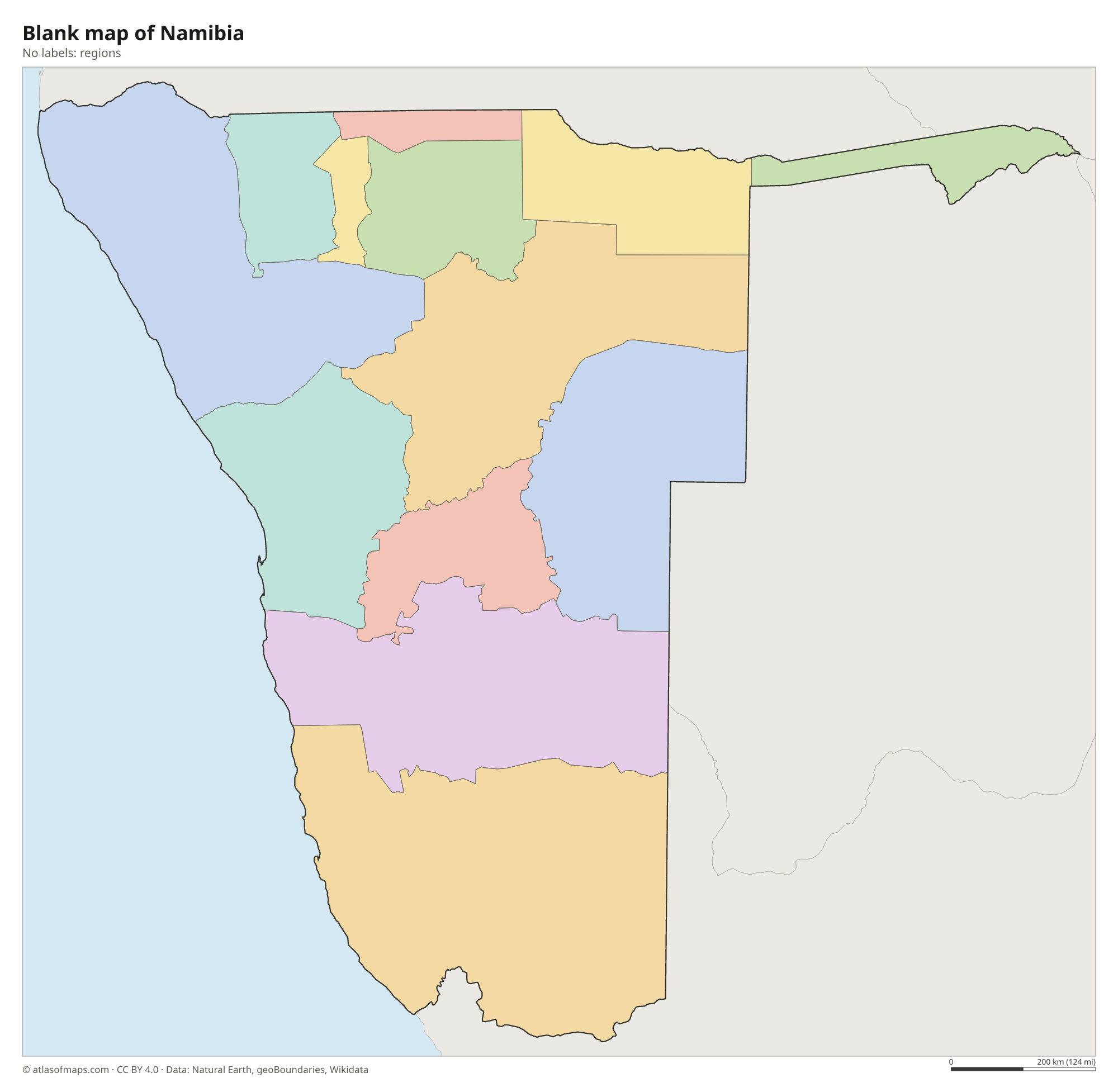
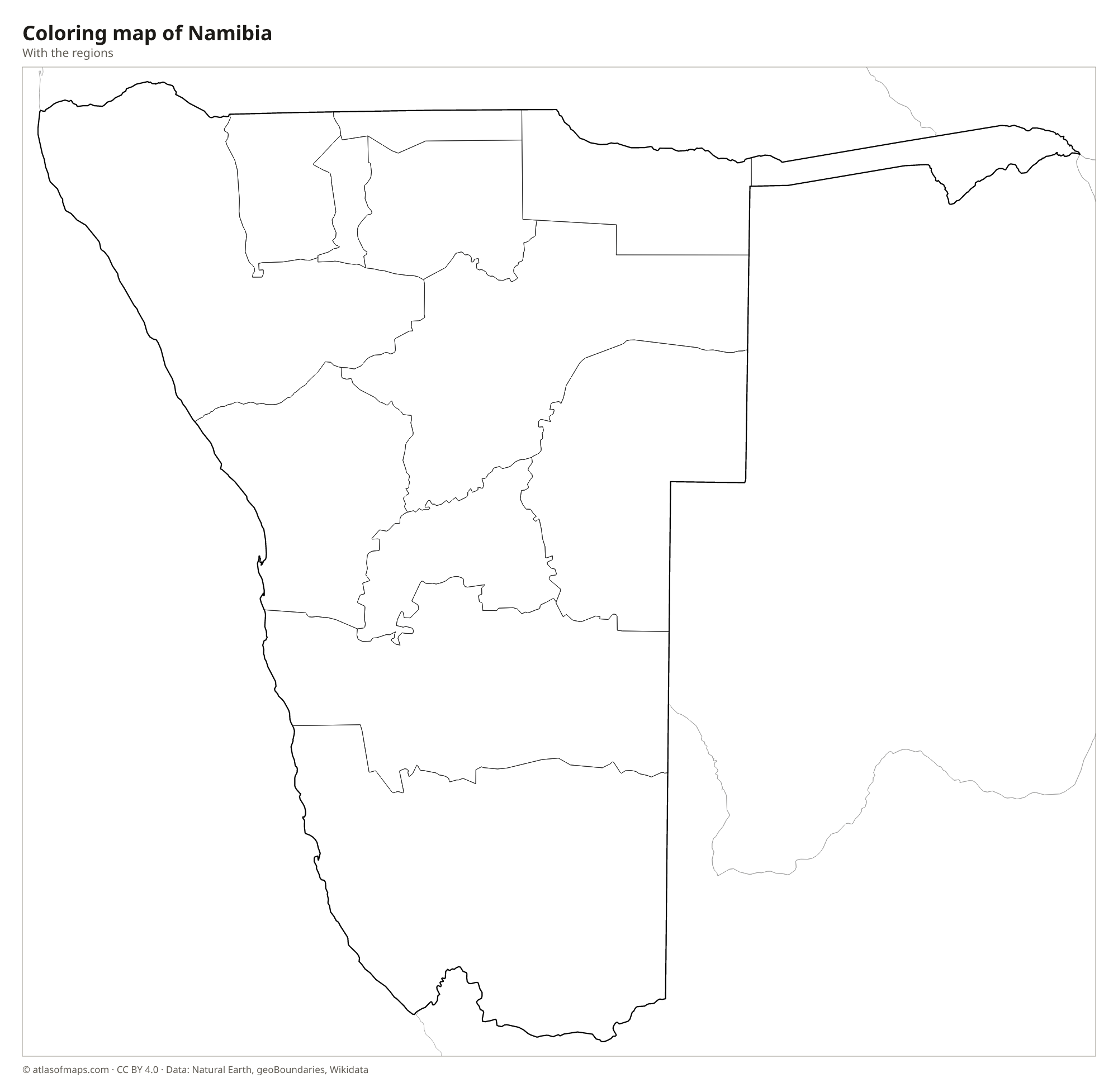
Blank and coloring maps of Namibia
Blank map of Namibia

Coloring map of Namibia

Geography of Namibia
Namibia covers 825,615 km² (318,772 sq mi) and is the driest country in Africa south of the Sahara. Along the coast runs the Namib, an ancient desert of towering red dunes, gravel plains and fog. Inland, the land rises to a central plateau where Windhoek lies, then slopes east into the Kalahari Desert. The highest point, Brandberg, a huge granite massif in the northwest, reaches 2,573 m (8,442 ft). In the south, the Fish River Canyon is one of the largest canyons in Africa.
Namibia's only permanent rivers lie along or near its borders: the Orange River in the south and the Kunene, Okavango, Kwando and Zambezi in the north. The Zambezi Region, a narrow strip of land once called the Caprivi Strip, reaches east between Angola, Zambia and Botswana. Etosha Pan, a large salt pan in the north, fills with water only briefly after heavy rains. The cold Benguela Current keeps the coast cool and foggy, while the interior is hot by day.
Fun facts
- With 2,533,794 people (2017) on a territory larger than Turkey, Namibia is one of the least densely populated countries in the world.
- The Skeleton Coast in the north is named after the whale bones and shipwrecks that line its foggy shore.
- Some dunes around Sossusvlei in the Namib Desert rise more than 300 m (1,000 ft), among the tallest in the world.
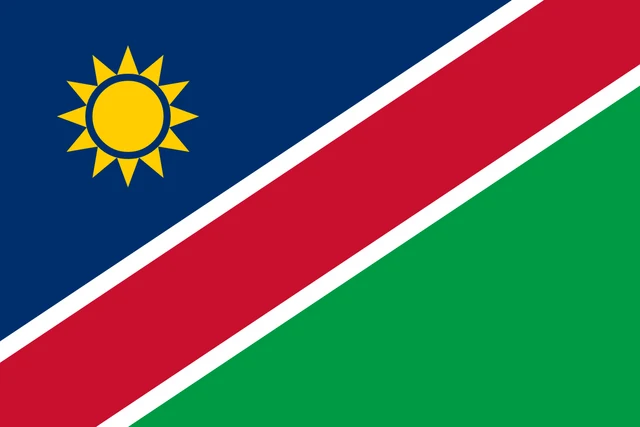
Flag of Namibia
The flag of Namibia is crossed by a wide red diagonal band, edged in white, that runs from the lower hoist corner to the upper fly corner. Above the band is a blue triangle with a gold sun of 12 triangular rays near the hoist, and below it is a green triangle. The flag has a 2:3 ratio.
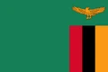
Countries bordering Namibia
Frequently asked questions
What countries border Namibia?
Namibia borders four countries: Angola and Zambia to the north, Botswana to the east and South Africa to the south. Its whole western side faces the Atlantic Ocean.
What deserts are in Namibia?
Namibia has two deserts: the Namib along the Atlantic coast, known for its red sand dunes, and the Kalahari in the east, which continues into Botswana and South Africa.
What is the capital of Namibia?
Windhoek is the capital and largest city. It lies near the center of the country on the high central plateau, more than 1,600 m (5,200 ft) above sea level.
What language is spoken in Namibia?
The official language is English.
Can I print the map of Namibia?
Yes. Every map on this page can be downloaded for free as PNG or PDF (US Letter) and printed, including the blank map and the coloring map. Please credit the source (Atlas of Maps, CC BY 4.0).
Use this map
You can download, print and share this map for free, in class, in school projects, in presentations and on websites, as long as you credit the source: Map of Namibia · Atlas of Maps (atlasofmaps.com), license CC BY 4.0.
See also: Map of Africa · World map