Map of Cambodia
Cambodia is a country in Southeast Asia, in the southern part of the Indochinese Peninsula. It borders Thailand to the west and northwest, Laos to the northeast and Vietnam to the east and southeast, and has a coast on the Gulf of Thailand. The political map shows its regions, the capital, Phnom Penh, and major cities.

- Capital
- Phnom Penh
- Population
- 17.4 million (2023)
- Area
- 181,035 km² (69,898 sq mi)
- Population density
- 96 per km² (249 per sq mi)
- Official language
- Khmer
- Currency
- riel
- Demonym
- Cambodian
- Highest point
- Phnom Aural (1,813 m (5,948 ft))
- Calling code
- +855
- Internet domain
- .kh
- Official name
- Kingdom of Cambodia
Where is Cambodia?
Cambodia is a country in Southeast Asia, in the southern part of the Indochinese Peninsula. It borders Thailand to the west and northwest, Laos to the northeast and Vietnam to the east and southeast, and has a coast on the Gulf of Thailand.

Regions of Cambodia and their capitals
Cambodia is divided into provinces and the capital municipality of Phnom Penh. The provinces on the map come from Natural Earth and may not reflect the latest changes to their number and borders.
The divisions on the map come from Natural Earth and may not reflect the latest territorial reform in Cambodia.
| Region | Capital | Population | Area |
|---|---|---|---|
| Banteay Meanchey | Serei Saophoan | 861,883 | 6,679 km² (2,579 sq mi) |
| Battambang | Battambang | 997,169 | 11,702 km² (4,518 sq mi) |
| Kam | Chbar Mon | 877,523 | 7,017 km² (2,709 sq mi) |
| Kampong Cham | Kampong Cham | 899,791 | 4,549 km² (1,756 sq mi) |
| Kampong Chhnang | Kampong Chhnang | 899,791 | 5,521 km² (2,132 sq mi) |
| Kampong Thom | Kampong Thom | 681,549 | 13,814 km² (5,334 sq mi) |
| Kampot | Kampot | 593,829 | 4,873 km² (1,881 sq mi) |
| Kandal | Ta Khmau | 1,201,581 | 3,568 km² (1,378 sq mi) |
| Kep | Krong Kep | 42,665 | 336 km² (130 sq mi) |
| Koh Kong | Koh Kong | 125,902 | 11,160 km² (4,309 sq mi) |
| Kratié | Kratié | 374,755 | 11,094 km² (4,283 sq mi) |
| Mondulkiri | Senmonorom | 92,213 | 14,288 km² (5,517 sq mi) |
| Oddar Meanchey | Samraong | 276,038 | 6,158 km² (2,378 sq mi) |
| Pailin | Pailin Municipality | 75,112 | 803 km² (310 sq mi) |
| Phnom Penh | Phnom Penh | 2,129,371 | 678 km² (262 sq mi) |
| Preah Vihear | Phnom Tbeng Meanchey | 254,827 | 13,788 km² (5,324 sq mi) |
| Prey Veng | Prey Veng | 1,057,720 | 4,883 km² (1,885 sq mi) |
| Pursat | Pursat | 419,952 | 12,692 km² (4,900 sq mi) |
| Ratanakiri | Banlung | 217,453 | 10,782 km² (4,163 sq mi) |
| Siem Reap | Siem Reap | 1,014,234 | 10,299 km² (3,976 sq mi) |
| Sihanoukville | Sihanoukville | 310,072 | 2,585 km² (998 sq mi) |
| Stung Treng | Stung Treng | 165,713 | 11,092 km² (4,283 sq mi) |
| Svay Rieng | Svay Rieng | 525,497 | 2,966 km² (1,145 sq mi) |
| Takéo | Takéo | 900,914 | 3,563 km² (1,376 sq mi) |
Population from Wikidata (latest figure available for each region).
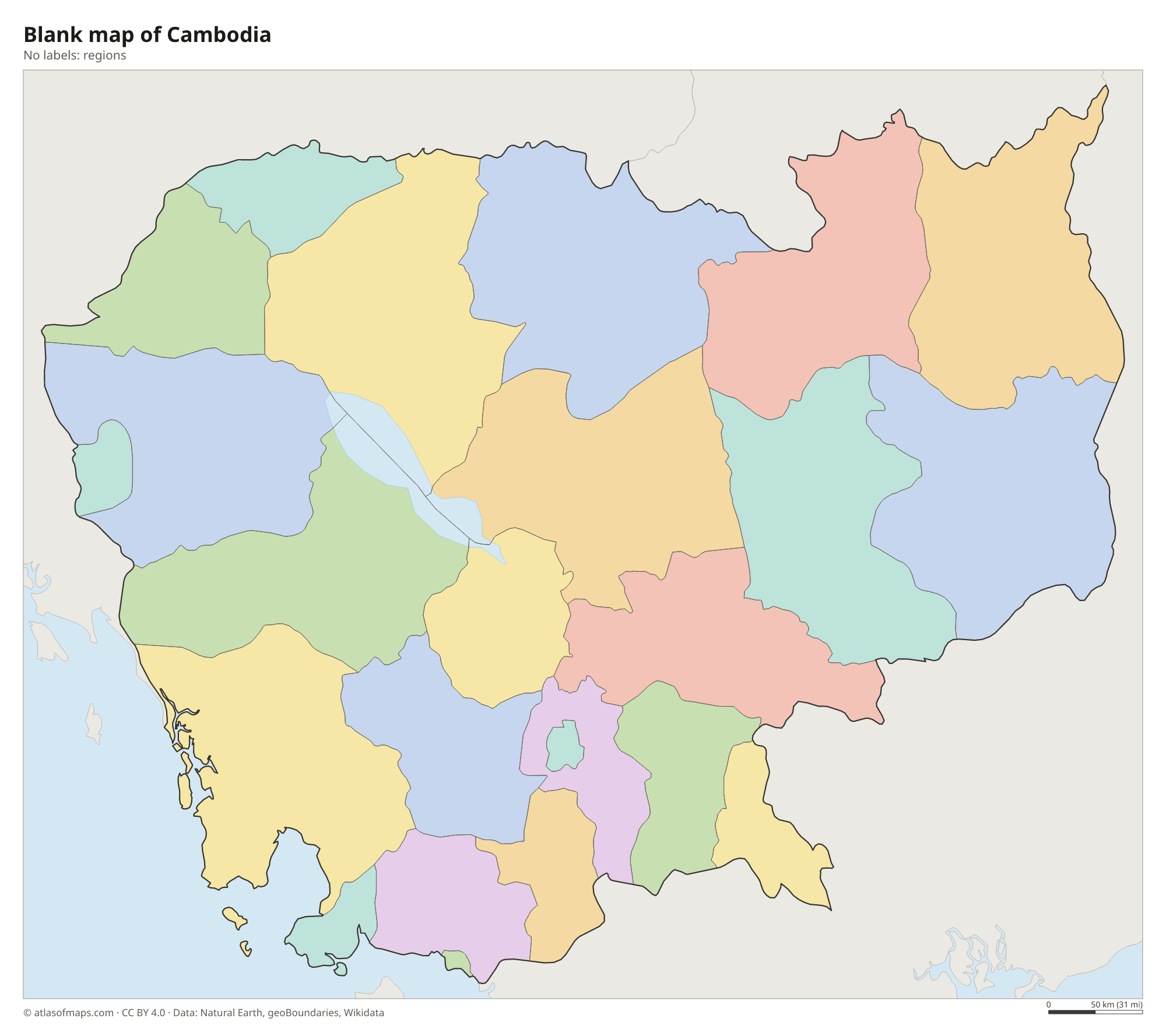
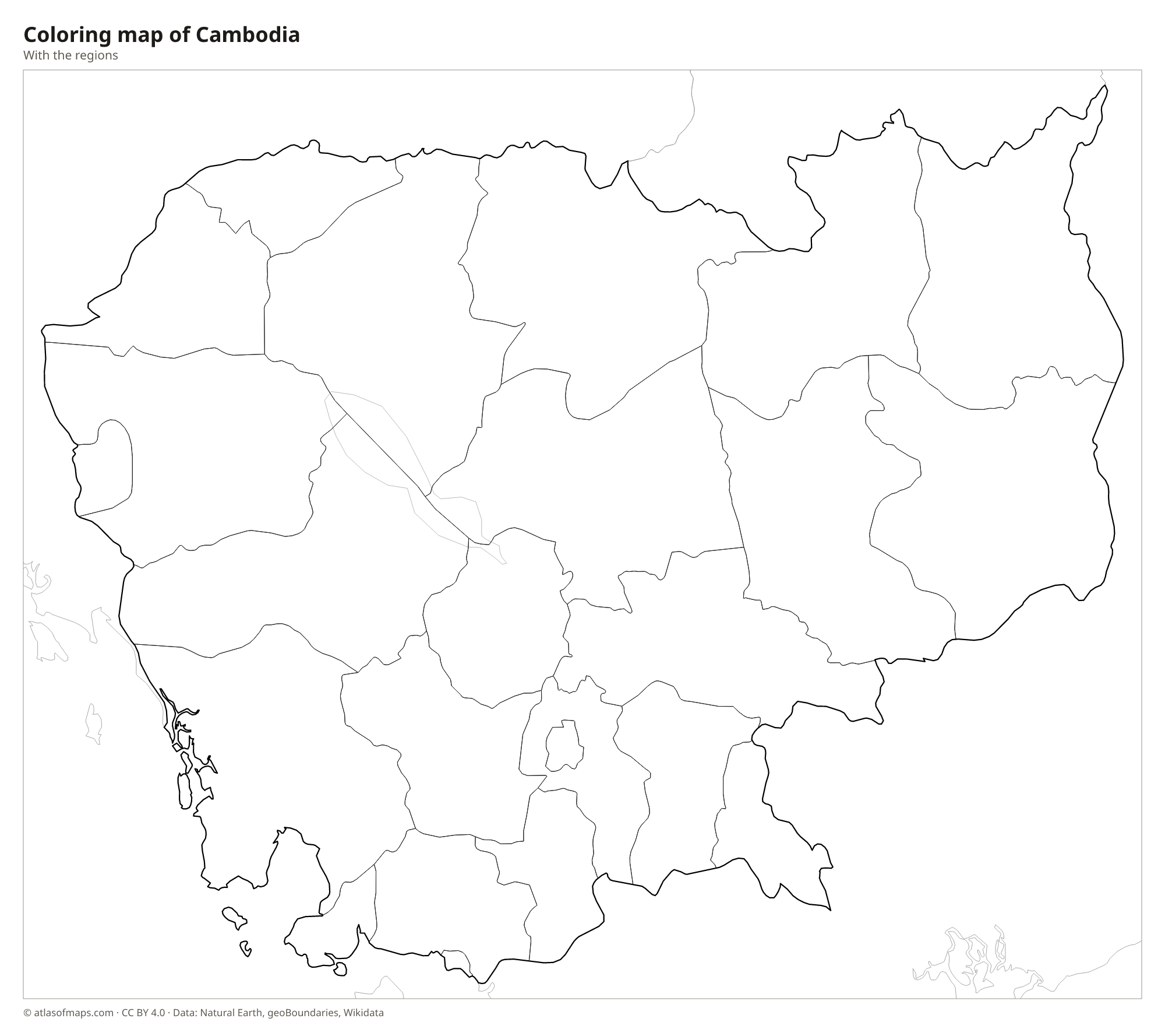
Blank and coloring maps of Cambodia
Blank map of Cambodia

Coloring map of Cambodia

Geography of Cambodia
Cambodia covers 181,035 km² (69,898 sq mi). Its heart is a broad, low central plain around the Tonlé Sap lake and the Mekong River, where most people live and grow rice. Mountains rim the plain on three sides: the Dângrêk Mountains along the northern border with Thailand, the forested highlands of Ratanakiri and Mondulkiri in the northeast, and the Cardamom and Elephant Mountains in the southwest. The highest point, Phnom Aural, reaches 1,813 m (5,948 ft) in the Cardamom Mountains.
The Mekong enters from Laos and flows south through Cambodia to Vietnam. At Phnom Penh it meets the Tonlé Sap River, which links it with the Tonlé Sap lake. During the rainy season the Mekong rises so high that the Tonlé Sap River reverses its flow, and the lake swells to several times its dry-season size. The climate is tropical monsoon, with a rainy season from about May to October. The coast on the Gulf of Thailand has mangroves and islands such as Koh Rong. About 17.4 million people (2023) live in Cambodia.
Fun facts
- Angkor Wat, near Siem Reap, is often described as the largest religious monument in the world.
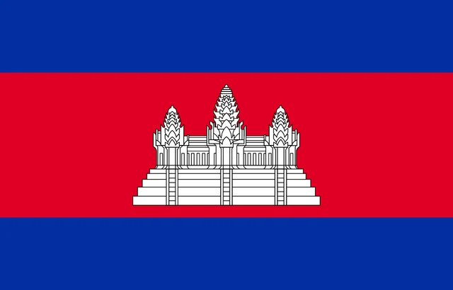
- Cambodia is one of the few countries that show a building on their national flag.
- Phnom Penh lies where the Mekong, the Tonlé Sap River and the Bassac River meet.
Flag of Cambodia
The flag of Cambodia has three horizontal bands: blue at the top and bottom and a red band twice as tall in the middle. On the red band is a white image of the temple of Angkor Wat, outlined in black and shown with three of its towers visible.
Countries bordering Cambodia
Frequently asked questions
What countries border Cambodia?
Cambodia borders three countries: Thailand to the west and northwest, Laos to the northeast and Vietnam to the east and southeast. The Gulf of Thailand lies to the southwest.
Where is Angkor Wat?
Angkor Wat lies in northwestern Cambodia, near the city of Siem Reap and just north of the Tonlé Sap lake. It is part of the Angkor archaeological park, a UNESCO World Heritage Site.
What is the largest lake in Cambodia?
The Tonlé Sap is the largest lake in Cambodia and the largest freshwater lake in Southeast Asia. It grows dramatically in the rainy season, when floodwater from the Mekong flows into it.
What is the capital of Cambodia?
The capital of Cambodia is Phnom Penh.
What language is spoken in Cambodia?
The official language is Khmer.
Can I print the map of Cambodia?
Yes. Every map on this page can be downloaded for free as PNG or PDF (US Letter) and printed, including the blank map and the coloring map. Please credit the source (Atlas of Maps, CC BY 4.0).
Use this map
You can download, print and share this map for free, in class, in school projects, in presentations and on websites, as long as you credit the source: Map of Cambodia · Atlas of Maps (atlasofmaps.com), license CC BY 4.0.
See also: Map of Asia · Map of Southeast Asia · World map