Map of Vietnam
Vietnam is a long, narrow country in Southeast Asia, on the eastern edge of the Indochinese Peninsula. It borders China to the north and Laos and Cambodia to the west, and its long coastline faces the South China Sea and the Gulf of Thailand.

- Capital
- Hanoi
- Population
- 96.2 million (2019)
- Area
- 331,690 km² (128,066 sq mi)
- Population density
- 290 per km² (751 per sq mi)
- Official language
- Vietnamese
- Currency
- Vietnamese đồng
- Demonym
- Vietnamese
- Highest point
- Fansipan (3,143 m (10,312 ft))
- Calling code
- +84
- Internet domain
- .vn
- Official name
- Socialist Republic of Vietnam
Where is Vietnam?
Vietnam is a long, narrow country in Southeast Asia, on the eastern edge of the Indochinese Peninsula. It borders China to the north and Laos and Cambodia to the west, and its long coastline faces the South China Sea and the Gulf of Thailand.

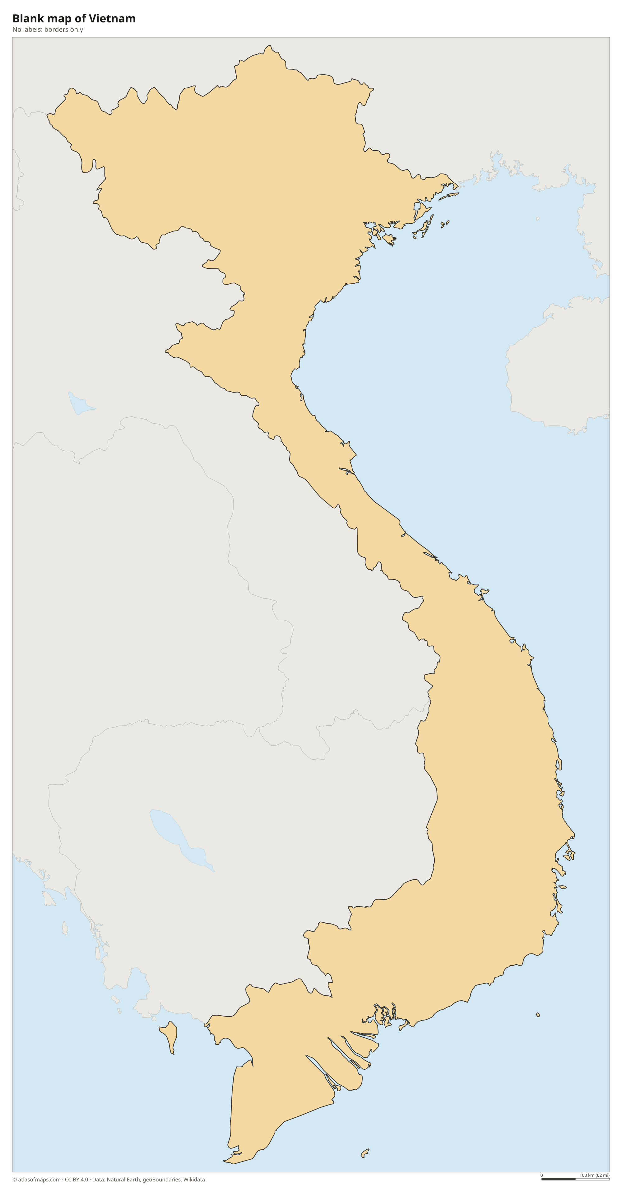
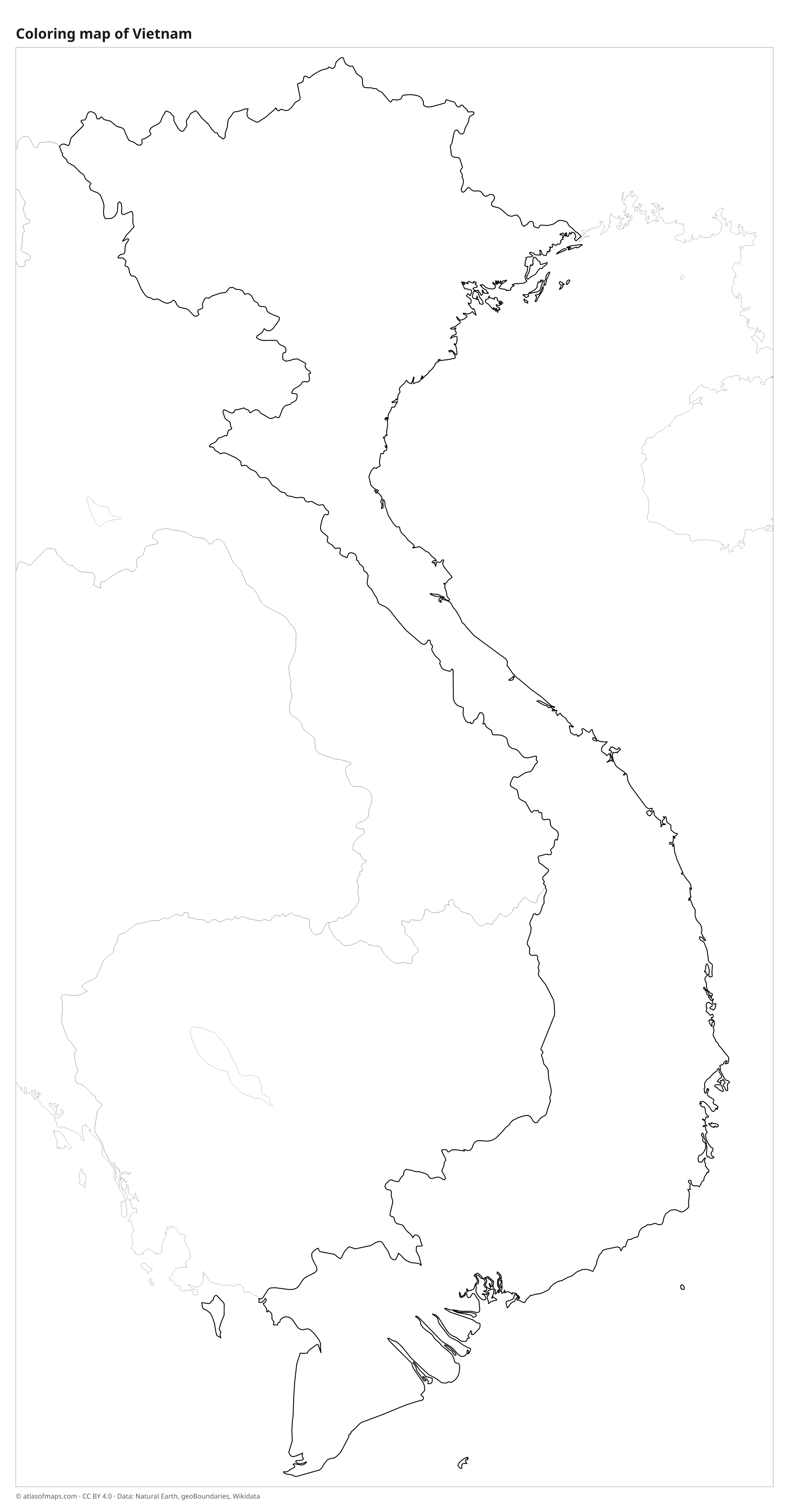
Blank and coloring maps of Vietnam
Blank map of Vietnam

Coloring map of Vietnam

Geography of Vietnam
Vietnam covers about 331,690 km² (128,066 sq mi) and is shaped like the letter S, wide in the north and south and very narrow in the middle. Mountains and hills cover about three quarters of the land. The Hoàng Liên Sơn range in the northwest holds Fansipan, the highest point at 3,143 m (10,312 ft), often called the Roof of Indochina. The Annamite Range (Trường Sơn) runs down the western border with Laos, and the Central Highlands are a region of plateaus with rich red soil.
Most people live on the two great river deltas and the coastal plains. In the north, the Red River delta surrounds Hanoi; in the south, the Mekong ends in a huge delta of channels and rice fields. On the Gulf of Tonkin, Ha Long Bay is famous for hundreds of limestone islands and pillars rising from the sea. The north has a humid subtropical climate with a cool winter, while the south is tropical, with a rainy season from about May to October. Typhoons often strike the central coast.
Fun facts
- At its narrowest point, in the central region, Vietnam is only about 50 km (31 mi) wide.
- Son Doong Cave in Phong Nha-Ke Bang National Park is the largest known cave passage in the world.
- Ha Long Bay is a UNESCO World Heritage Site.
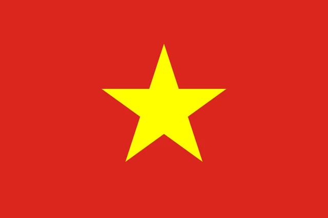
Flag of Vietnam
The flag of Vietnam is red with a large yellow five-pointed star in the center. The star has no outline and is the only symbol on the flag, and the bright yellow stands out strongly against the red field. In Vietnamese it is often called the red flag with a yellow star.
Countries bordering Vietnam
Frequently asked questions
What countries border Vietnam?
Vietnam borders three countries: China to the north, Laos to the west and Cambodia to the southwest. To the east and south it faces the South China Sea and the Gulf of Thailand.
How many provinces does Vietnam have?
Since a reform in 2025, Vietnam has 34 provincial-level units, down from 63. They include major cities such as Hanoi, Ho Chi Minh City and Da Nang, which are governed like provinces.
What is the capital of Vietnam?
The capital of Vietnam is Hanoi, on the Red River in the north. The largest city is Ho Chi Minh City, formerly Saigon, in the south near the Mekong Delta.
What language is spoken in Vietnam?
The official language is Vietnamese.
Can I print the map of Vietnam?
Yes. Every map on this page can be downloaded for free as PNG or PDF (US Letter) and printed, including the blank map and the coloring map. Please credit the source (Atlas of Maps, CC BY 4.0).
Use this map
You can download, print and share this map for free, in class, in school projects, in presentations and on websites, as long as you credit the source: Map of Vietnam · Atlas of Maps (atlasofmaps.com), license CC BY 4.0.
See also: Map of Asia · Map of Southeast Asia · World map