Map of Equatorial Guinea with regions and capitals
Equatorial Guinea is a small country in Central Africa on the Gulf of Guinea. It consists of a mainland region, Río Muni, between Cameroon to the north and Gabon to the east and south, plus several islands, including Bioko and Annobón. The political map shows its 7 regions, the capital, Ciudad de la Paz, and major cities.

- Capital
- Ciudad de la Paz
- Population
- 1.8 million (2023)
- Area
- 28,051 km² (10,831 sq mi)
- Population density
- 66 per km² (171 per sq mi)
- Official languages
- Spanish, French, and Portuguese
- Currency
- Central African CFA franc
- Demonym
- Equatorial Guinean
- Regions
- 7
- Highest point
- Pico Basilé (3,011 m (9,879 ft))
- Calling code
- +240
- Internet domain
- .gq
Where is Equatorial Guinea?
Equatorial Guinea is a small country in Central Africa on the Gulf of Guinea. It consists of a mainland region, Río Muni, between Cameroon to the north and Gabon to the east and south, plus several islands, including Bioko and Annobón.

Regions of Equatorial Guinea and their capitals
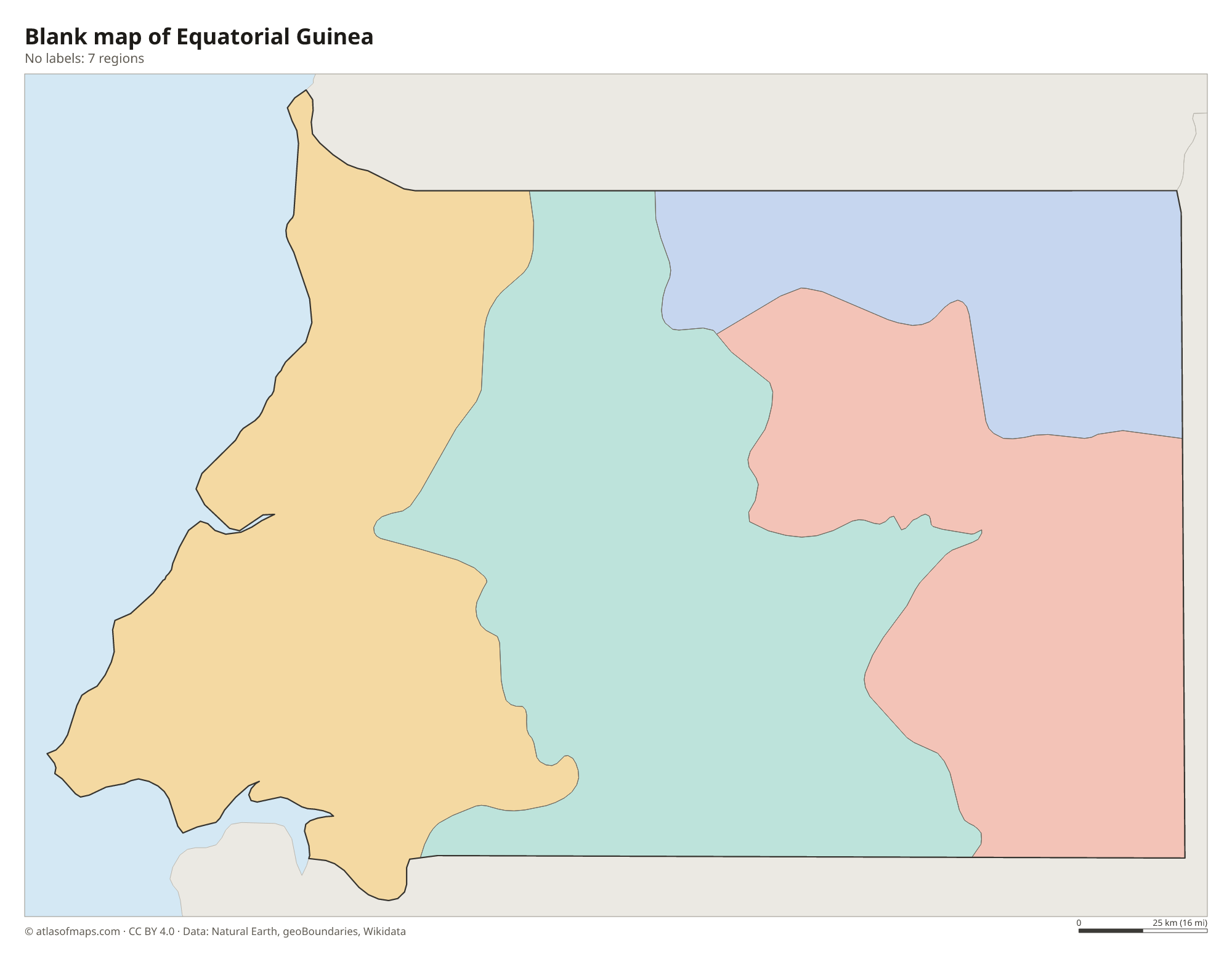
The map shows 7 provinces: Bioko Norte and Bioko Sur on Bioko, the island province of Annobón, and Litoral, Centro Sur, Kié-Ntem and Wele-Nzas on the mainland. The newer administrative area of Djibloho, around the capital Ciudad de la Paz, is not drawn separately.
| Region | Capital | Population | Area |
|---|---|---|---|
| Annobón | San Antonio de Palé | 5,232 | 17 km² (6.6 sq mi) |
| Bioko Norte | Malabo | 410,541 | 776 km² (300 sq mi) |
| Bioko Sur | Luba | — | 1,241 km² (479 sq mi) |
| Centro Sur | Evinayong | — | 9,931 km² (3,834 sq mi) |
| Kié-Ntem | Ebibeyin | — | 3,943 km² (1,522 sq mi) |
| Litoral | Bata | 400,415 | 6,665 km² (2,573 sq mi) |
| Wele-Nzas | Mongomo | — | 5,478 km² (2,115 sq mi) |
Population from Wikidata (latest figure available for each region).
Blank and coloring maps of Equatorial Guinea
Blank map of Equatorial Guinea

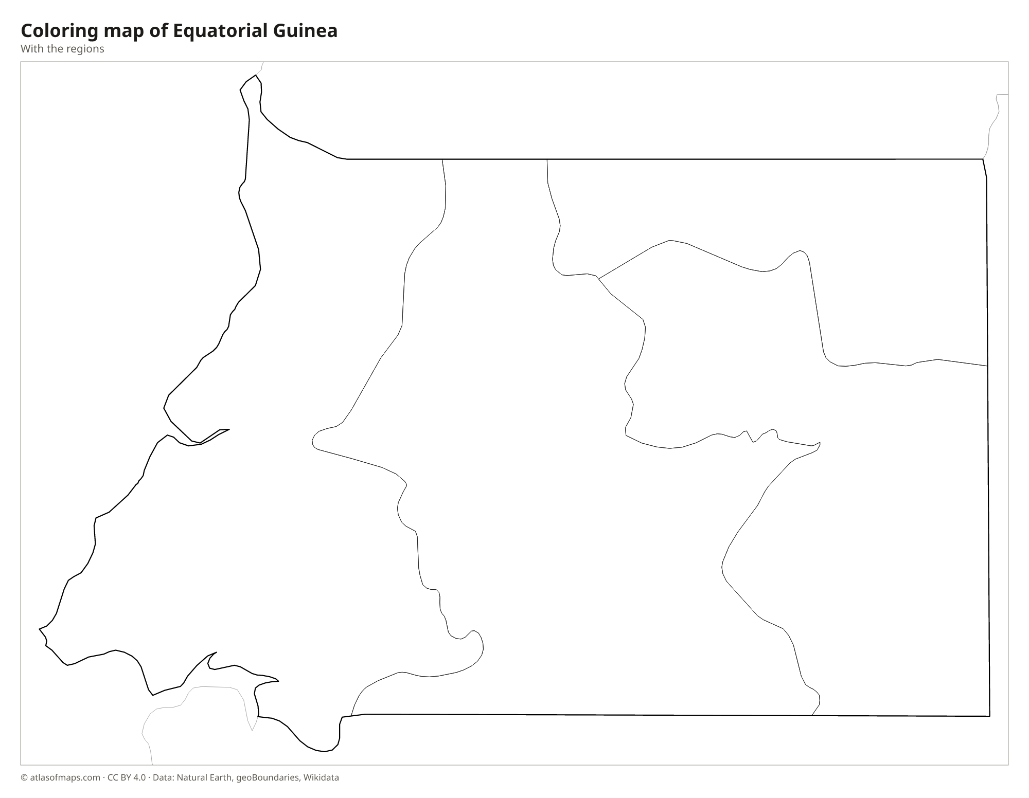
Coloring map of Equatorial Guinea

Geography of Equatorial Guinea
Equatorial Guinea covers 28,051 km² (10,831 sq mi). Most of its land is Río Muni on the mainland, a block of rainforest-covered plateau and hills that rises from a coastal plain toward the interior and is drained by the Mbini (Benito) River. Bioko, the largest island, lies in the Gulf of Guinea off the coast of Cameroon and is formed by volcanoes; its highest peak, Pico Basilé, reaches 3,011 m (9,879 ft). Annobón is a small volcanic island far to the southwest, beyond São Tomé and Príncipe.
Smaller islands, including Corisco and the Elobey islands, lie near the Muni estuary on the border with Gabon. The climate is equatorial, hot and humid all year, with heavy rainfall, especially on the southern slopes of Bioko, among the wettest places in Africa. Tropical rainforest still covers much of the country and shelters forest elephants, gorillas and chimpanzees on the mainland and rare monkeys such as the drill on Bioko. Malabo, on Bioko's north coast, is the main city of the islands, while Bata is the largest city on the mainland.
Fun facts
- Equatorial Guinea is the only country in Africa where Spanish is an official language.
- Despite its name, no land of Equatorial Guinea lies on the equator, which passes through the sea between the mainland and Annobón.
- Bioko was long known as Fernando Pó, after the Portuguese navigator who reached it in the 15th century.
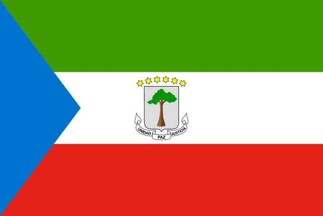
Flag of Equatorial Guinea
The flag of Equatorial Guinea has three horizontal stripes of green, white and red, with a light blue triangle at the hoist side. In the center is the coat of arms: a silver shield with a silk-cotton tree, six yellow six-pointed stars above it and a scroll below with the motto Unidad, Paz, Justicia (Unity, Peace, Justice).
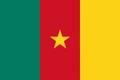
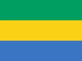
Countries bordering Equatorial Guinea
Frequently asked questions
What countries border Equatorial Guinea?
On the mainland, Equatorial Guinea borders Cameroon to the north and Gabon to the east and south. Its islands lie in the Gulf of Guinea, near Cameroon and São Tomé and Príncipe.
What is the capital of Equatorial Guinea?
The capital is Ciudad de la Paz, a planned city in the interior of the mainland. For decades the capital was Malabo on Bioko Island, which remains the main city of the islands.
Is Equatorial Guinea on the equator?
Not quite. The mainland lies just north of the equator and Annobón Island just south of it, but the line itself passes only through the sea between them.
How many regions does Equatorial Guinea have?
Equatorial Guinea is divided into 7 regions: Annobón, Bioko Norte, Bioko Sur, Centro Sur, Kié-Ntem, Litoral, and Wele-Nzas.
What language is spoken in Equatorial Guinea?
The official languages are Spanish, French, and Portuguese.
Can I print the map of Equatorial Guinea?
Yes. Every map on this page can be downloaded for free as PNG or PDF (US Letter) and printed, including the blank map and the coloring map. Please credit the source (Atlas of Maps, CC BY 4.0).
Use this map
You can download, print and share this map for free, in class, in school projects, in presentations and on websites, as long as you credit the source: Map of Equatorial Guinea · Atlas of Maps (atlasofmaps.com), license CC BY 4.0.
See also: Map of Africa · World map