Map of Gabon with regions and capitals
Gabon is a country on the Atlantic coast of Central Africa, straddling the equator. It borders Equatorial Guinea to the northwest, Cameroon to the north and the Republic of the Congo to the east and south. The political map shows its 9 regions, the capital, Libreville, and major cities.

- Capital
- Libreville
- Population
- 2 million (2017)
- Area
- 267,667 km² (103,347 sq mi)
- Population density
- 8 per km² (20 per sq mi)
- Official language
- French
- Currency
- Central African CFA franc
- Demonym
- Gabonese
- Regions
- 9
- Highest point
- Mont Bengoué (1,070 m (3,510 ft))
- Calling code
- +241
- Internet domain
- .ga
Where is Gabon?
Gabon is a country on the Atlantic coast of Central Africa, straddling the equator. It borders Equatorial Guinea to the northwest, Cameroon to the north and the Republic of the Congo to the east and south.
Neighboring countries: Cameroon, Republic of the Congo, Equatorial Guinea.

Regions of Gabon and their capitals
Gabon is divided into 9 provinces, several of them named after the Ogooué River, such as Haut-Ogooué, Moyen-Ogooué and Ogooué-Maritime. Libreville, the capital, lies in Estuaire province on the estuary of the Komo River.
| Region | Capital | Population | Area |
|---|---|---|---|
| Estuaire | Akanda | 933,162 | 20,740 km² (8,008 sq mi) |
| Haut-Ogooué | Franceville | 250,799 | 36,547 km² (14,111 sq mi) |
| Moyen-Ogooué | Lambaréné | 69,287 | 18,535 km² (7,156 sq mi) |
| Ngounié | Mouila | 100,838 | 37,750 km² (14,575 sq mi) |
| Nyanga | Tchibanga | 52,854 | 21,285 km² (8,218 sq mi) |
| Ogooué-Ivindo | Makokou | 63,293 | 46,075 km² (17,790 sq mi) |
| Ogooué-Lolo | Koulamoutou | 65,771 | 25,380 km² (9,799 sq mi) |
| Ogooué-Maritime | Port-Gentil | 157,562 | 22,890 km² (8,838 sq mi) |
| Woleu-Ntem | Oyem | 154,986 | 38,465 km² (14,851 sq mi) |
Population from Wikidata (latest figure available for each region).
Blank and coloring maps of Gabon
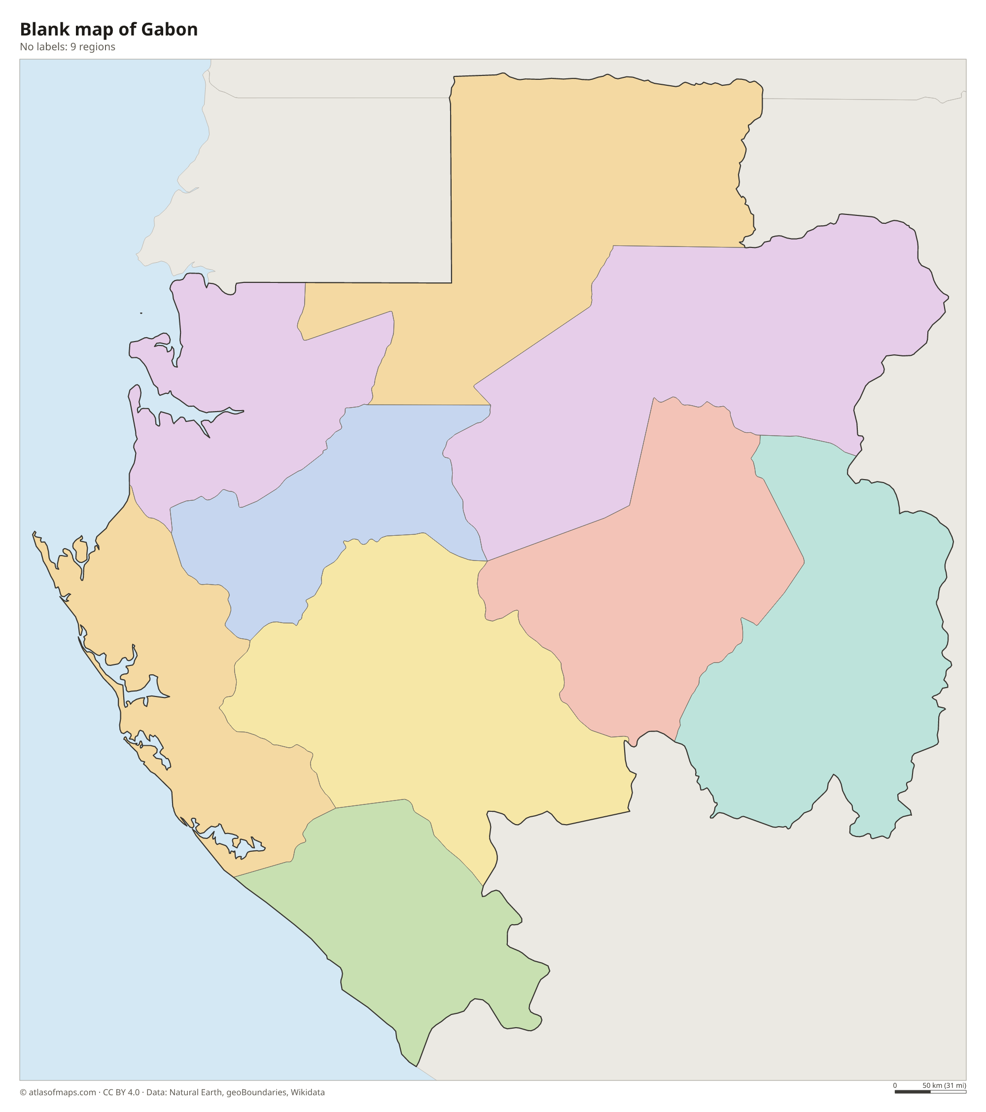
Blank map of Gabon

Coloring map of Gabon

Geography of Gabon
Gabon covers 267,667 km² (103,347 sq mi). A narrow coastal plain, broken by lagoons, estuaries and the Cap Lopez peninsula, runs along the Atlantic. Inland, the land rises to plateaus and low mountain ranges, including the Crystal Mountains in the north and the Chaillu Massif in the south. The highest point, Mont Bengoué in the northeast, reaches 1,070 m (3,510 ft). Dense equatorial rainforest covers most of the country, making Gabon one of the most heavily forested nations in the world.
The Ogooué River, the largest in the country, drains most of Gabon, flowing west from its source in the Republic of the Congo to a wide delta near Port-Gentil. Its tributaries, such as the Ivindo and the Ngounié, are broken by rapids and waterfalls. The climate is hot and humid all year, with a long dry season from about June to September. The forests and coastal savannas shelter forest elephants, gorillas, chimpanzees and mandrills, and in places hippos and elephants can be seen on the beaches.
Fun facts
- In 2002 Gabon created 13 national parks, which together cover about a tenth of the country.
- Lopé National Park, in the center of the country, is a UNESCO World Heritage Site with rainforest, savanna and ancient rock carvings.
- Loango National Park on the coast is known for elephants, buffalo and hippos that sometimes walk along the Atlantic beaches.
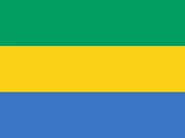
Flag of Gabon
The flag of Gabon has three horizontal stripes of equal height: green on top, yellow in the middle and blue at the bottom. It carries no emblem or inscription. Its proportions are 3:4, so it is squarer than most national flags.
Countries bordering Gabon
Frequently asked questions
What countries border Gabon?
Gabon borders three countries: Equatorial Guinea to the northwest, Cameroon to the north and the Republic of the Congo to the east and south. Its western side faces the Atlantic Ocean.
How many provinces does Gabon have?
Gabon has 9 provinces, among them Estuaire, Haut-Ogooué, Ngounié and Woleu-Ntem. The capital, Libreville, is in Estuaire province on the northwest coast.
Does the equator pass through Gabon?
Yes. The equator crosses Gabon from the Atlantic coast to the border with the Republic of the Congo, which is why the yellow stripe on the national flag is often linked to it.
What is the capital of Gabon?
The capital of Gabon is Libreville.
What language is spoken in Gabon?
The official language is French.
Can I print the map of Gabon?
Yes. Every map on this page can be downloaded for free as PNG or PDF (US Letter) and printed, including the blank map and the coloring map. Please credit the source (Atlas of Maps, CC BY 4.0).
Use this map
You can download, print and share this map for free, in class, in school projects, in presentations and on websites, as long as you credit the source: Map of Gabon · Atlas of Maps (atlasofmaps.com), license CC BY 4.0.
See also: Map of Africa · World map