Map of Cameroon
Cameroon is a Central African country on the Gulf of Guinea, where West and Central Africa meet. It borders Nigeria to the west, Chad to the northeast, the Central African Republic to the east, and Equatorial Guinea, Gabon and the Republic of the Congo to the south. The political map shows its regions, the capital, Yaoundé, and major cities.

- Capital
- Yaoundé
- Population
- 28.4 million (2023)
- Area
- 475,442 km² (183,569 sq mi)
- Population density
- 60 per km² (155 per sq mi)
- Official languages
- French and English
- Currency
- Central African CFA franc
- Demonym
- Cameroonian
- Highest point
- Mount Cameroon (4,095 m (13,435 ft))
- Calling code
- +237
- Internet domain
- .cm
- Official name
- Republic of Cameroon
Where is Cameroon?
Cameroon is a Central African country on the Gulf of Guinea, where West and Central Africa meet. It borders Nigeria to the west, Chad to the northeast, the Central African Republic to the east, and Equatorial Guinea, Gabon and the Republic of the Congo to the south.
Neighboring countries: Central African Republic, Republic of the Congo, Gabon, Equatorial Guinea, Nigeria, Chad.

Regions of Cameroon and their capitals
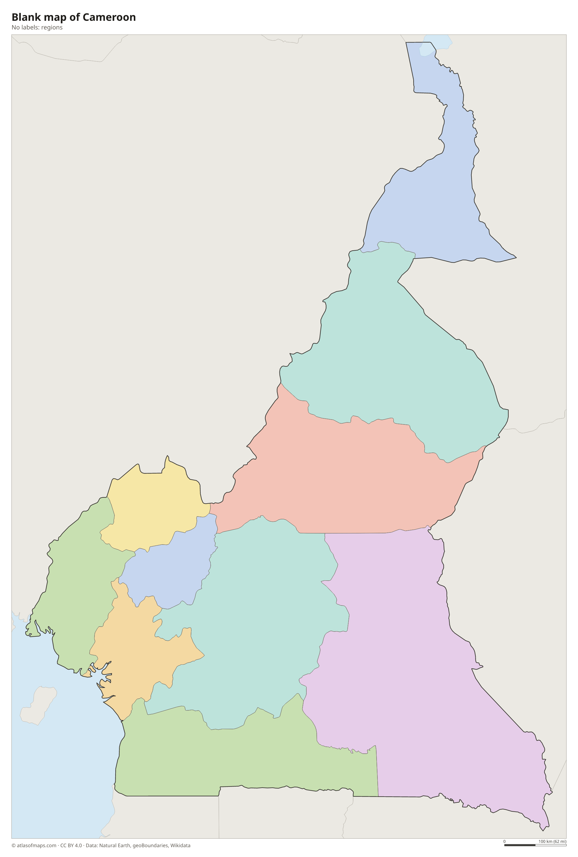
Cameroon is divided into regions, which are split into departments. Two of them, the Northwest and Southwest regions, are mainly English-speaking, while the rest are mainly French-speaking. The capital, Yaoundé, lies in the Centre Region. The regions on the map come from Natural Earth and may not reflect the latest changes.
The divisions on the map come from Natural Earth and may not reflect the latest territorial reform in Cameroon.
| Region | Capital | Population | Area |
|---|---|---|---|
| Adamawa | Ngaoundéré | 838,689 | 63,701 km² (24,595 sq mi) |
| Centre | Yaoundé | 2,797,212 | 68,953 km² (26,623 sq mi) |
| East | Bertoua | 875,949 | 109,002 km² (42,086 sq mi) |
| Far North | Maroua | 3,142,883 | 34,263 km² (13,229 sq mi) |
| Littoral | Douala | 2,294,540 | 20,248 km² (7,818 sq mi) |
| North | Garoua | 1,409,445 | 66,090 km² (25,517 sq mi) |
| Northwest | Bamenda | 2,095,538 | 17,300 km² (6,680 sq mi) |
| South | Ebolowa | 633,082 | 47,191 km² (18,221 sq mi) |
| Southwest | Buea | 1,419,269 | 25,410 km² (9,811 sq mi) |
| West | Bafoussam | 2,269,136 | 13,892 km² (5,364 sq mi) |
Population from Wikidata (latest figure available for each region).
Blank and coloring maps of Cameroon
Blank map of Cameroon

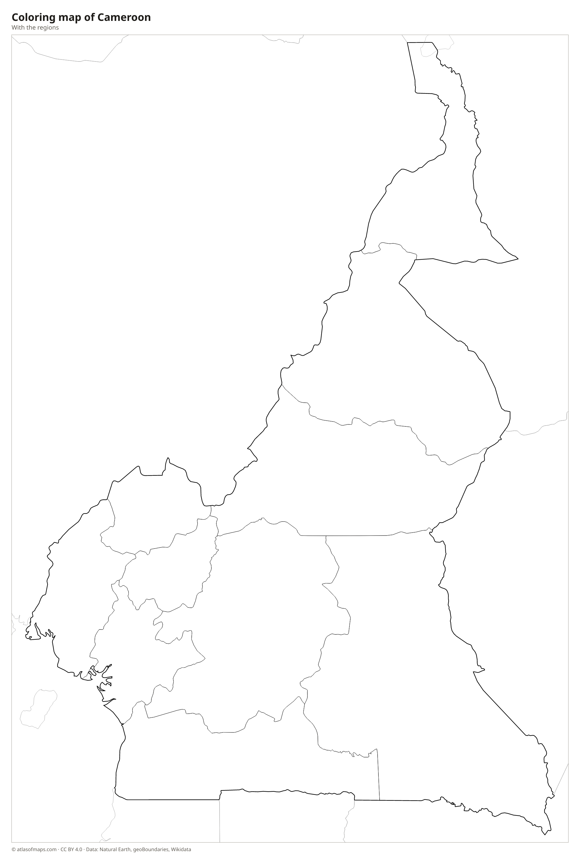
Coloring map of Cameroon

Geography of Cameroon
Cameroon covers 475,442 km² (183,569 sq mi) and has such varied landscapes that it is often called Africa in miniature. The south is a low coastal plain and plateau covered by dense rainforest. A chain of volcanic mountains, the Cameroon Line, runs from the coast into the western highlands around Bamenda. Mount Cameroon, an active volcano near the sea, rises to 4,095 m (13,435 ft) and is the highest point. The Adamawa Plateau crosses the center, and beyond it the north descends into savanna and the dry Sahel near Lake Chad.
The Sanaga, Cameroon's longest river, flows west across the south to the Atlantic, and the Wouri reaches the sea at Douala, the main port and economic center. In the north, the Benue flows west into Nigeria, while the Logone and Chari drain toward Lake Chad. Lake Nyos, a crater lake in the western highlands, released a deadly cloud of carbon dioxide in 1986. The south has an equatorial climate with heavy rain, and the slopes of Mount Cameroon are among the wettest places on Earth. About 28.4 million people (2023) live in Cameroon.
Fun facts
- Lake Chad, in the far north, is shared by Cameroon, Chad, Niger and Nigeria and has shrunk greatly since the 1960s.
- Debundscha, at the foot of Mount Cameroon, receives some of the heaviest rainfall in the world.
- Mount Cameroon is one of the most active volcanoes in Africa.
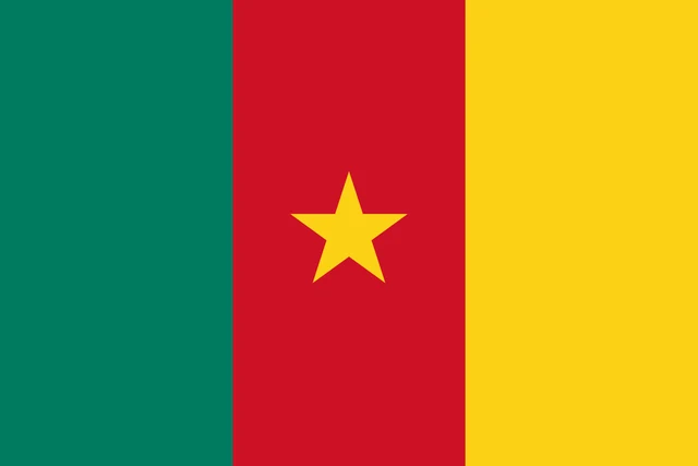
Flag of Cameroon
The flag of Cameroon has three equal vertical bands of green, red and yellow, with green at the hoist. In the center of the red band is a yellow five-pointed star. The flag is one and a half times as wide as it is tall.
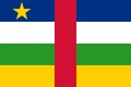
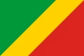
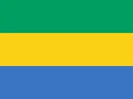
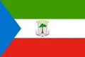
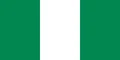
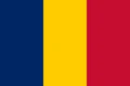
Countries bordering Cameroon
Frequently asked questions
What countries border Cameroon?
Cameroon borders six countries: Nigeria, Chad, the Central African Republic, the Republic of the Congo, Gabon and Equatorial Guinea. It also has a coast on the Gulf of Guinea.
Is Cameroon in West or Central Africa?
Cameroon is usually counted as part of Central Africa, but it sits at the hinge between West and Central Africa, and its western highlands continue into Nigeria.
What languages are spoken in Cameroon?
French and English are the official languages. French is spoken by the majority, English mainly in the Northwest and Southwest regions, and the country also has hundreds of local languages.
What is the capital of Cameroon?
The capital of Cameroon is Yaoundé.
Can I print the map of Cameroon?
Yes. Every map on this page can be downloaded for free as PNG or PDF (US Letter) and printed, including the blank map and the coloring map. Please credit the source (Atlas of Maps, CC BY 4.0).
Use this map
You can download, print and share this map for free, in class, in school projects, in presentations and on websites, as long as you credit the source: Map of Cameroon · Atlas of Maps (atlasofmaps.com), license CC BY 4.0.
See also: Map of Africa · World map