Map of Guinea-Bissau with regions and capitals
Guinea-Bissau is a small country on the Atlantic coast of West Africa. It borders Senegal to the north and Guinea to the east and south, and its coastline, broken by wide river estuaries, faces the Atlantic Ocean, where the Bijagós Islands lie offshore. The political map shows its 9 regions, the capital, Bissau, and major cities.

- Capital
- Bissau
- Population
- 1.9 million (2017)
- Area
- 36,125 km² (13,948 sq mi)
- Population density
- 52 per km² (133 per sq mi)
- Official language
- Portuguese
- Currency
- West African CFA franc
- Demonym
- Bissau-Guinean
- Regions
- 9
- Highest point
- Monte Torin (262 m (860 ft))
- Calling code
- +245
- Internet domain
- .gw
Where is Guinea-Bissau?
Guinea-Bissau is a small country on the Atlantic coast of West Africa. It borders Senegal to the north and Guinea to the east and south, and its coastline, broken by wide river estuaries, faces the Atlantic Ocean, where the Bijagós Islands lie offshore.

Regions of Guinea-Bissau and their capitals
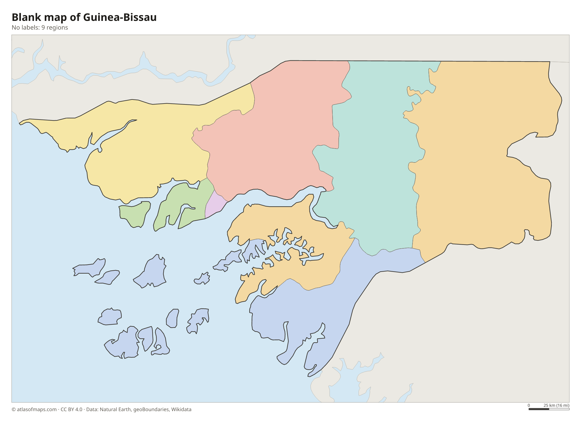
The map shows 9 regions: 8 regions, such as Bafatá, Gabú, Cacheu and Bolama, plus the autonomous sector of Bissau, the capital. The Bolama region includes most of the Bijagós Islands.
| Region | Capital | Population | Area |
|---|---|---|---|
| Bafatá | Bafatá | 225,516 | 5,981 km² (2,309 sq mi) |
| Biombo | Quinhamel | 93,039 | 839 km² (324 sq mi) |
| Bissau | Bissau | 492,004 | 78 km² (30 sq mi) |
| Bolama | Bolama | 32,424 | 2,624 km² (1,013 sq mi) |
| Cacheu | Cacheu | 192,508 | 5,175 km² (1,998 sq mi) |
| Gabú | Gabu | 214,520 | 9,150 km² (3,533 sq mi) |
| Oio | Farim | 224,644 | 5,403 km² (2,086 sq mi) |
| Quinara | Buba | 63,610 | 3,138 km² (1,212 sq mi) |
| Tombali | Catió | 91,089 | 3,737 km² (1,443 sq mi) |
Population from Wikidata (latest figure available for each region).
Blank and coloring maps of Guinea-Bissau
Blank map of Guinea-Bissau

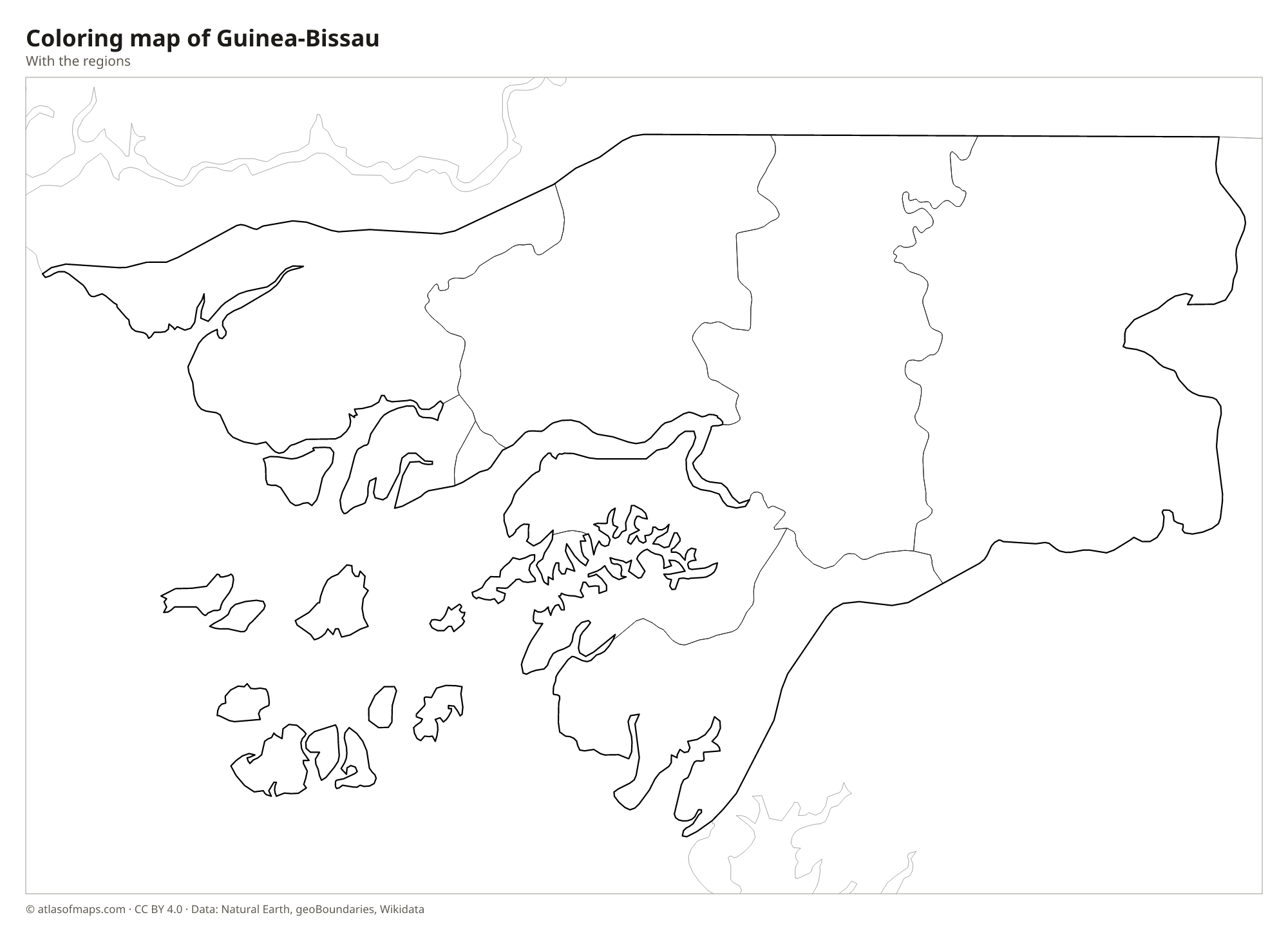
Coloring map of Guinea-Bissau

Geography of Guinea-Bissau
Guinea-Bissau covers 36,125 km² (13,948 sq mi), and much of it is very low. The western half is a flat coastal plain cut by tidal estuaries, swamps and mangrove forests, where seawater pushes far inland at high tide. Offshore lies the Bijagós Archipelago, a group of dozens of islands with sandbanks, palm forests and wide mudflats rich in birdlife. The land rises gently toward the east, where savanna and dry forest cover low plateaus. Even the highest point, Monte Torin, reaches only 262 m (860 ft).
Several wide rivers cross the country from east to west, including the Cacheu in the north, the Geba, which passes the capital, Bissau, and the Corubal, which flows in from the highlands of Guinea. Rice paddies line many riverbanks and coastal flats. The climate is tropical, with a rainy season from about June to October and a hot dry season when the harmattan wind blows from the Sahara. Rain is heaviest along the coast and in the south, and lighter in the northeast near Senegal.
Fun facts
- Bissau replaced the island town of Bolama as the capital of Portuguese Guinea in 1941.
- On Orango in the Bijagós Islands, hippos live in lagoons close to the sea and are sometimes seen in salt water.
Flag of Guinea-Bissau
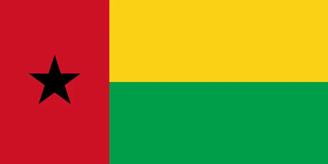
The flag of Guinea-Bissau has a vertical red stripe along the pole with a black five-pointed star in its center. The rest of the flag is split into two horizontal stripes of equal size, yellow on top and green below. It has a 1:2 ratio, so it is twice as long as it is tall.
Countries bordering Guinea-Bissau
Frequently asked questions
What countries border Guinea-Bissau?
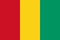
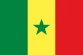
Guinea-Bissau borders only two countries: Senegal to the north and Guinea to the east and south. To the west lies the Atlantic Ocean with the Bijagós Islands.
How many regions does Guinea-Bissau have?
The map shows 9 regions: Bafatá, Biombo, Bolama, Cacheu, Gabú, Oio, Quinara and Tombali, plus the autonomous sector of Bissau, which contains the capital.
What is the capital of Guinea-Bissau?
The capital and largest city is Bissau, a port on the wide estuary of the Geba River near the Atlantic coast.
What language is spoken in Guinea-Bissau?
The official language is Portuguese.
Can I print the map of Guinea-Bissau?
Yes. Every map on this page can be downloaded for free as PNG or PDF (US Letter) and printed, including the blank map and the coloring map. Please credit the source (Atlas of Maps, CC BY 4.0).
Use this map
You can download, print and share this map for free, in class, in school projects, in presentations and on websites, as long as you credit the source: Map of Guinea-Bissau · Atlas of Maps (atlasofmaps.com), license CC BY 4.0.
See also: Map of Africa · World map