Map of Guinea
Guinea is a country in West Africa on the Atlantic coast. It borders Guinea-Bissau, Senegal, Mali, Ivory Coast, Liberia and Sierra Leone, and its coastline, curving in a wide arc, faces the Atlantic Ocean to the west. The political map shows its regions, the capital, Conakry, and major cities.

- Capital
- Conakry
- Population
- 17.5 million (2025)
- Area
- 245,857 km² (94,926 sq mi)
- Population density
- 71 per km² (185 per sq mi)
- Official languages
- French and languages of Guinea
- Currency
- Guinean franc
- Demonym
- Guinean
- Highest point
- Mount Richard-Molard (1,752 m (5,748 ft))
- Calling code
- +224
- Internet domain
- .gn
Where is Guinea?
Guinea is a country in West Africa on the Atlantic coast. It borders Guinea-Bissau, Senegal, Mali, Ivory Coast, Liberia and Sierra Leone, and its coastline, curving in a wide arc, faces the Atlantic Ocean to the west.
Neighboring countries: Ivory Coast, Guinea-Bissau, Liberia, Mali, Senegal, Sierra Leone.

Regions of Guinea and their capitals
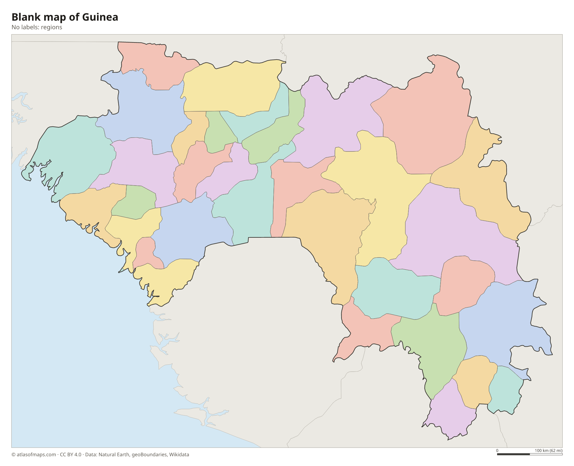
Guinea is organized into administrative regions, which are split into prefectures, with the capital, Conakry, as its own unit. The divisions on the map come from Natural Earth and may not reflect the latest territorial reform in Guinea.
The divisions on the map come from Natural Earth and may not reflect the latest territorial reform in Guinea.
| Region | Capital | Population | Area |
|---|---|---|---|
| Beyla | — | — | 13,612 km² (5,256 sq mi) |
| Boffa | — | — | 9,100 km² (3,514 sq mi) |
| Boké | Boké | 1,036,700 | 31,186 km² (12,041 sq mi) |
| Conakry | Conakry | 1,667,864 | 450 km² (174 sq mi) |
| Coyah | — | — | 1,275 km² (492 sq mi) |
| Dabola | — | 295,613 | 5,508 km² (2,127 sq mi) |
| Dalaba | — | — | 4,400 km² (1,699 sq mi) |
| Dinguiraye | — | — | 14,500 km² (5,598 sq mi) |
| Dubréka | — | — | 4,350 km² (1,680 sq mi) |
| Faranah | Faranah | — | 35,581 km² (13,738 sq mi) |
| Forécariah | — | — | 4,384 km² (1,693 sq mi) |
| Fria | Fria | — | 1,811 km² (699 sq mi) |
| Gaoual | — | — | 11,500 km² (4,440 sq mi) |
| Guéckédou | — | — | 4,750 km² (1,834 sq mi) |
| Kankan | Kankan | 1,467,000 | 72,145 km² (27,855 sq mi) |
| Kérouané | Kérouané | 146,693 | 9,750 km² (3,764 sq mi) |
| Kindia | Kindia | 1,559,185 | 28,873 km² (11,148 sq mi) |
| Kissidougou | — | — | 8,872 km² (3,425 sq mi) |
| Koubia | — | — | 2,800 km² (1,081 sq mi) |
| Koundara | — | — | 5,505 km² (2,125 sq mi) |
| Kouroussa | — | — | 16,220 km² (6,263 sq mi) |
| Labé | — | — | 3,014 km² (1,164 sq mi) |
| Lélouma | — | 179,384 | 2,140 km² (826 sq mi) |
| Lola | — | — | 4,688 km² (1,810 sq mi) |
| Macenta | — | — | 7,056 km² (2,724 sq mi) |
| Mali | — | — | 9,790 km² (3,780 sq mi) |
| Mamou | — | — | 8,000 km² (3,089 sq mi) |
| Mandiana | — | 800,959 | 12,300 km² (4,749 sq mi) |
| Nzérékoré | — | — | 3,632 km² (1,402 sq mi) |
| Pita | — | — | 4,320 km² (1,668 sq mi) |
| Siguiri | Siguiri | — | 15,500 km² (5,985 sq mi) |
| Télimélé | — | — | 9,216 km² (3,558 sq mi) |
| Tougué | — | — | 6,400 km² (2,471 sq mi) |
| Yomou | — | — | 3,920 km² (1,514 sq mi) |
Population from Wikidata (latest figure available for each region).
Blank and coloring maps of Guinea
Blank map of Guinea

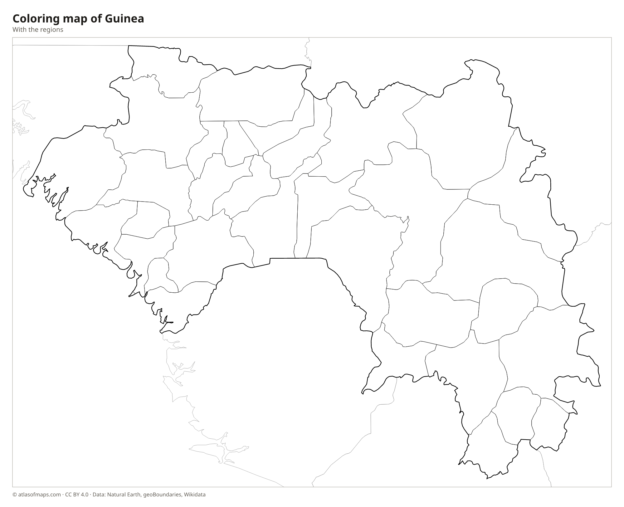
Coloring map of Guinea

Geography of Guinea
Guinea covers 245,857 km² (94,926 sq mi) and is usually described as four natural regions. Lower Guinea is the humid coastal plain with mangroves and the capital, Conakry. Middle Guinea is the Fouta Djallon, a plateau of sandstone tablelands and deep valleys. Upper Guinea in the northeast is a region of savanna plains, and Forest Guinea in the southeast is a land of rainforest and mountains. There, on the border with Ivory Coast, Mount Richard-Molard in the Nimba Mountains reaches 1,752 m (5,748 ft), the country's highest point.
Guinea is often called the water tower of West Africa. The Gambia River and the Bafing, the main headstream of the Senegal River, both rise in the Fouta Djallon, and the Niger River begins in the highlands near the border with Sierra Leone before flowing northeast into Mali. Rainfall is very heavy on the coast, especially around Conakry, and decreases toward the drier northeast. The year is split into a rainy season, roughly May to October, and a dry season when the dusty harmattan wind blows from the Sahara.
Fun facts
- Guinea holds some of the largest reserves of bauxite in the world, the ore used to make aluminum.
- The Mount Nimba Strict Nature Reserve, which Guinea shares with Ivory Coast, is a UNESCO World Heritage Site.
Flag of Guinea
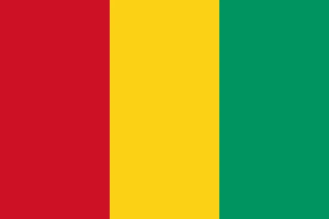
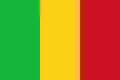
Guinea's flag has three equal vertical stripes of red, yellow and green, with red next to the pole. It has no emblem or text, and its ratio is 2:3. The colors are the same as on the flag of neighboring Mali, but in reverse order, so the two flags are easy to confuse.
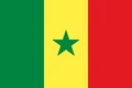
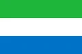
Countries bordering Guinea
Frequently asked questions
What countries border Guinea?
Guinea borders six countries: Guinea-Bissau to the northwest, Senegal to the north, Mali to the northeast, Ivory Coast to the southeast, and Liberia and Sierra Leone to the south.
What is the difference between Guinea, Guinea-Bissau and Equatorial Guinea?
They are three separate countries. Guinea is a former French colony in West Africa, Guinea-Bissau is its smaller, Portuguese-speaking neighbor to the northwest, and Equatorial Guinea lies farther east on the Gulf of Guinea in Central Africa.
What is the capital of Guinea?
The capital and largest city is Conakry, on the Atlantic coast. The city grew from Tombo Island and stretches along the narrow Kaloum Peninsula into the mainland.
What language is spoken in Guinea?
The official languages are French and languages of Guinea.
Can I print the map of Guinea?
Yes. Every map on this page can be downloaded for free as PNG or PDF (US Letter) and printed, including the blank map and the coloring map. Please credit the source (Atlas of Maps, CC BY 4.0).
Use this map
You can download, print and share this map for free, in class, in school projects, in presentations and on websites, as long as you credit the source: Map of Guinea · Atlas of Maps (atlasofmaps.com), license CC BY 4.0.
See also: Map of Africa · World map