Map of Kuwait with regions and capitals
Kuwait is a small country in Western Asia, in the Middle East, at the northern tip of the Persian Gulf. It borders Iraq to the north and west and Saudi Arabia to the south, and its coastline wraps around Kuwait Bay. The political map shows its 6 regions, the capital, Kuwait City, and major cities.

- Capital
- Kuwait City
- Population
- 4.5 million (2020)
- Area
- 17,818 km² (6,880 sq mi)
- Population density
- 251 per km² (649 per sq mi)
- Official language
- Arabic
- Currency
- Kuwaiti dinar
- Demonym
- Kuwaiti
- Regions
- 6
- Highest point
- Mutla Ridge (140 m (459 ft))
- Calling code
- +965
- Internet domain
- .kw
Where is Kuwait?
Kuwait is a small country in Western Asia, in the Middle East, at the northern tip of the Persian Gulf. It borders Iraq to the north and west and Saudi Arabia to the south, and its coastline wraps around Kuwait Bay.
Neighboring countries: Iraq, Saudi Arabia.

Regions of Kuwait and their capitals
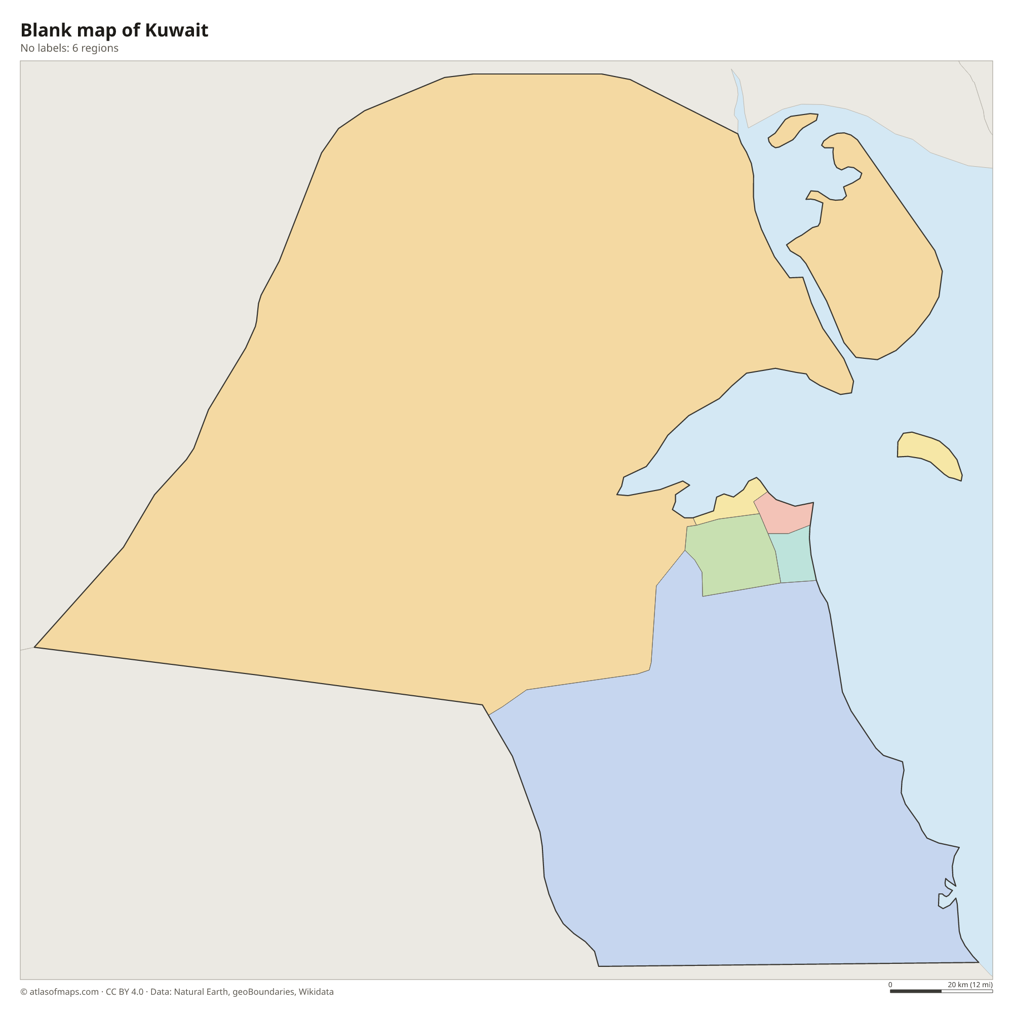
Kuwait is divided into 6 governorates: Capital, Hawalli, Farwaniya, Mubarak Al-Kabeer, Ahmadi and Jahra. Jahra, in the west and north, covers most of the land, while the others are mainly urban areas around Kuwait City.
| Region | Capital | Population | Area |
|---|---|---|---|
| Al Ahmadi | Al Ahmadi | 682,582 | 5,120 km² (1,977 sq mi) |
| Al Farwaniyah | Farwaniya | — | 190 km² (73 sq mi) |
| Al Jahra | Al Jahra | — | 11,230 km² (4,336 sq mi) |
| Capital | — | — | 200 km² (77 sq mi) |
| Hawally | Hawally | — | 82 km² (32 sq mi) |
| Mubarak Al-Kabeer | Mubarak Al-Kabeer | — | 100 km² (39 sq mi) |
Population from Wikidata (latest figure available for each region).
Blank and coloring maps of Kuwait
Blank map of Kuwait

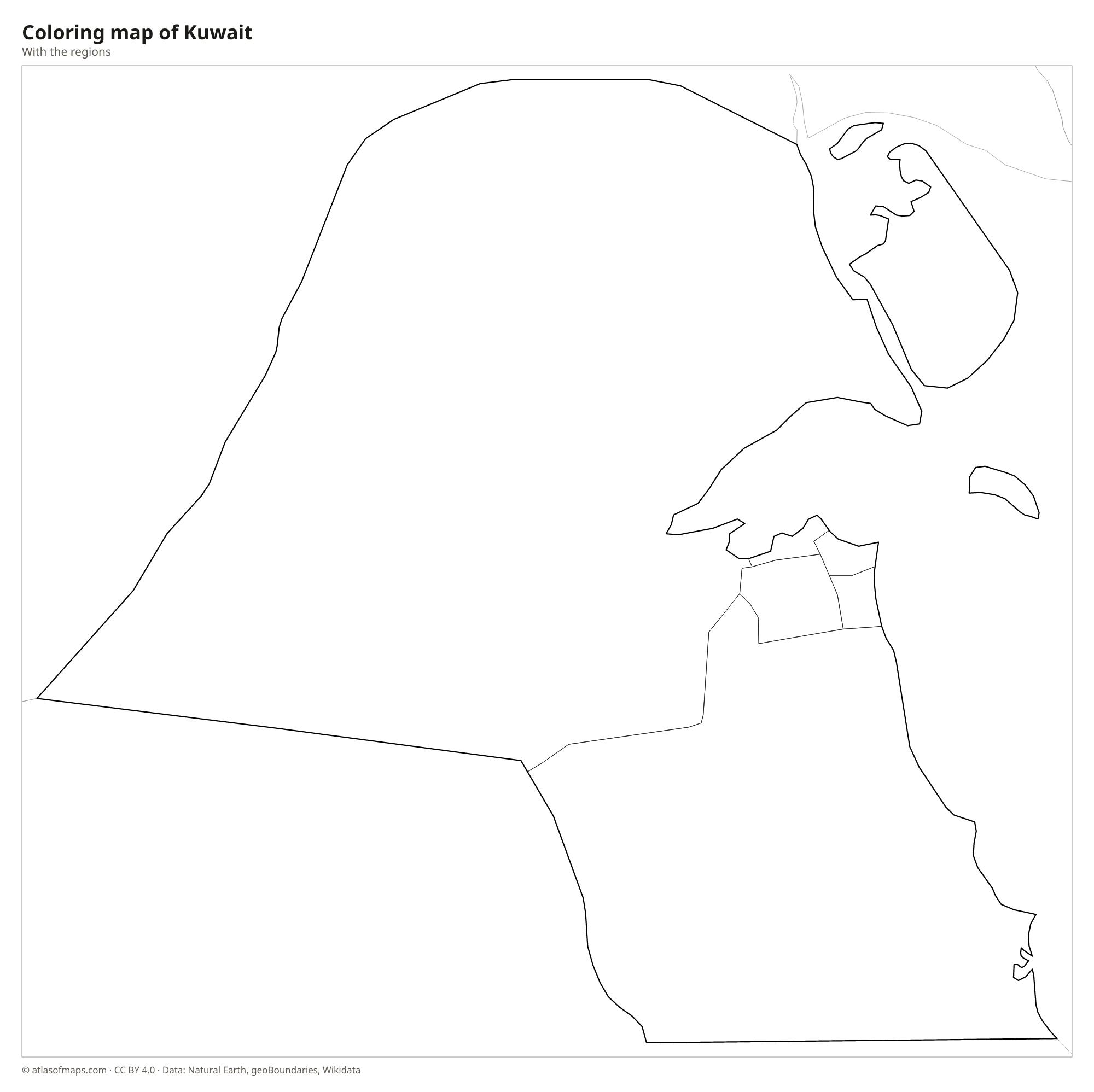
Coloring map of Kuwait

Geography of Kuwait
Kuwait covers 17,818 km² (6,880 sq mi) and is almost entirely flat, sandy or gravelly desert that slopes gently from the west toward the sea. There are no mountains; the highest point is the Mutla Ridge, a low escarpment north of Kuwait Bay, at 140 m (459 ft). The country also includes several islands in the Gulf. The largest is Bubiyan, a low, marshy island near the Iraqi border, and Failaka, near the entrance to Kuwait Bay, has ancient Greek and Bronze Age ruins.
Kuwait has no rivers or natural lakes, and water flows only briefly through dry valleys called wadis after rare winter rains. Nearly all drinking water comes from desalination plants that turn seawater into fresh water. Summers are extremely hot and dry, among the hottest anywhere, while winters are mild with occasional rain. Dust storms are common, especially in early summer. Most people live in and around Kuwait City, on the southern shore of Kuwait Bay, and the desert holds some of the largest oil reserves on Earth.
Fun facts
- The Kuwaiti dinar is one of the highest-valued currencies in the world.
- Two of the three Kuwait Towers on the coast of Kuwait City are water towers.
- During the 1991 Gulf War, retreating Iraqi forces set hundreds of Kuwait's oil wells on fire.
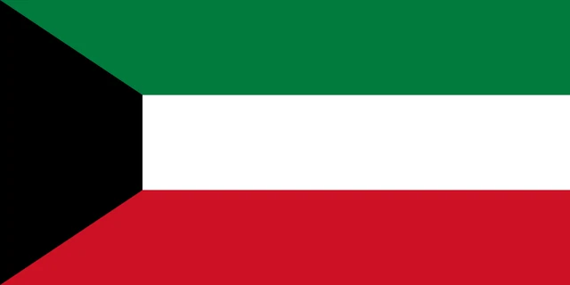
Flag of Kuwait
Kuwait's flag has three equal horizontal stripes, green on top, white in the middle and red at the bottom. On the side next to the pole is a black trapezoid, tallest at the pole and narrowing toward the center of the flag. The flag has a 1:2 ratio.
Countries bordering Kuwait
Frequently asked questions
What countries border Kuwait?
Kuwait borders two countries: Iraq to the north and west and Saudi Arabia to the south. Across the Persian Gulf to the east lies Iran.
How many governorates does Kuwait have?
Kuwait has 6 governorates: Capital, Hawalli, Farwaniya, Mubarak Al-Kabeer, Ahmadi and Jahra. Jahra is by far the largest by area.
Does Kuwait have any rivers?
No. Kuwait has no permanent rivers or natural lakes. Rain falls mainly in winter and runs only briefly through dry valleys, so the country depends on desalinated seawater.
What is the capital of Kuwait?
The capital of Kuwait is Kuwait City.
How many regions does Kuwait have?
Kuwait is divided into 6 regions: Al Ahmadi, Al Farwaniyah, Al Jahra, Capital, Hawally, and Mubarak Al-Kabeer.
What language is spoken in Kuwait?
The official language is Arabic.
Can I print the map of Kuwait?
Yes. Every map on this page can be downloaded for free as PNG or PDF (US Letter) and printed, including the blank map and the coloring map. Please credit the source (Atlas of Maps, CC BY 4.0).
Use this map
You can download, print and share this map for free, in class, in school projects, in presentations and on websites, as long as you credit the source: Map of Kuwait · Atlas of Maps (atlasofmaps.com), license CC BY 4.0.
See also: Map of Asia · Map of the Middle East · World map