Map of Iraq with governorates and capitals
Iraq is a country in Western Asia, in the Middle East. It borders Turkey, Iran, Kuwait, Saudi Arabia, Jordan and Syria, and has a short coastline on the Persian Gulf in the far southeast. The political map shows its 18 governorates, the capital, Baghdad, and major cities.

- Capital
- Baghdad
- Population
- 38.3 million (2017)
- Area
- 437,072 km² (168,754 sq mi)
- Population density
- 88 per km² (227 per sq mi)
- Official languages
- Arabic and Kurdish language
- Currency
- Iraqi dinar
- Demonym
- Iraqi
- Governorates
- 18
- Highest point
- Cheekha Dar (3,611 m (11,847 ft))
- Calling code
- +964
- Internet domain
- .iq
- Official name
- Republic of Iraq
Where is Iraq?
Iraq is a country in Western Asia, in the Middle East. It borders Turkey, Iran, Kuwait, Saudi Arabia, Jordan and Syria, and has a short coastline on the Persian Gulf in the far southeast.
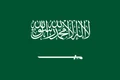
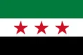
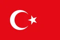
Neighboring countries: Iran, Jordan, Kuwait, Saudi Arabia, Syria, Turkey.

Governorates of Iraq and their capitals
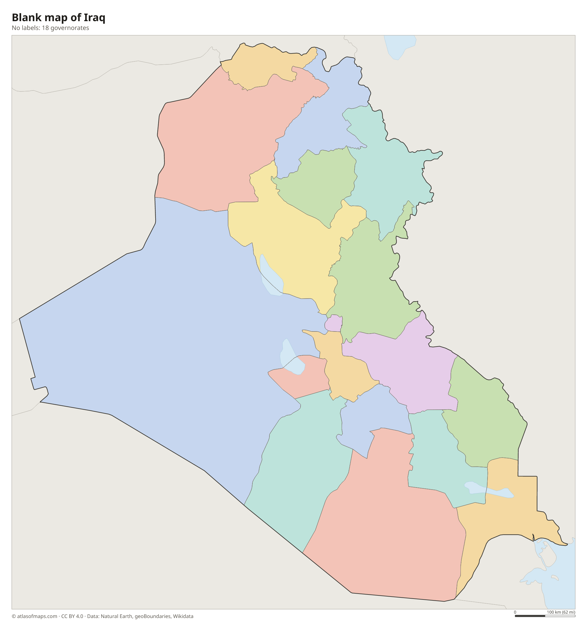
Iraq is divided into 18 governorates, such as Baghdad, Basra, Nineveh and Al Anbar, the largest. Three northern governorates, Erbil, Duhok and Sulaymaniyah, form the autonomous Kurdistan Region, which has its own government in Erbil.
| Governorate | Capital | Population | Area |
|---|---|---|---|
| Al Anbar | Ramadi | 1,561,400 | 135,000 km² (52,124 sq mi) |
| Al Muthanna | Samawah | 683,126 | 51,740 km² (19,977 sq mi) |
| Al-Qādisiyyah | Al Diwaniyah | 1,077,614 | 8,150 km² (3,147 sq mi) |
| Babylon | Hillah | 2,000,000 | 5,800 km² (2,239 sq mi) |
| Baghdad | Baghdad | 9,780,429 | 204 km² (79 sq mi) |
| Basra | Basra | 2,405,434 | 19,070 km² (7,363 sq mi) |
| Dhi Qar | Nasiriyah | 2,000,000 | 12,900 km² (4,981 sq mi) |
| Diyala | Baqubah | 1,371,035 | 14,700 km² (5,676 sq mi) |
| Duhok | Duhok | 1,072,324 | 10,000 km² (3,861 sq mi) |
| Erbil | Erbil | 1,532,081 | 12,000 km² (4,633 sq mi) |
| Karbala | Karbala | 1,013,254 | 5,030 km² (1,942 sq mi) |
| Kirkuk | Kirkuk | 1,325,853 | 10,500 km² (4,054 sq mi) |
| Maysan | Amarah | 922,890 | 16,070 km² (6,205 sq mi) |
| Najaf | Najaf | 1,285,500 | 28,820 km² (11,127 sq mi) |
| Nineveh | Mosul | 3,106,948 | 36,700 km² (14,170 sq mi) |
| Saladin | Tikrit | 1,337,786 | 26,000 km² (10,039 sq mi) |
| Sulaymaniyah | Sulaymaniyah | 1,694,895 | 20,000 km² (7,722 sq mi) |
| Wasit | Kut | 1,149,059 | 17,150 km² (6,622 sq mi) |
Population from Wikidata (latest figure available for each governorate).
Blank and coloring maps of Iraq
Blank map of Iraq

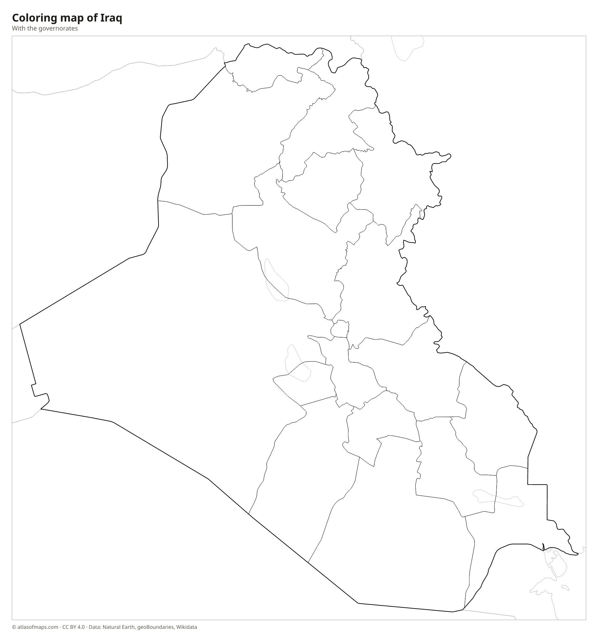
Coloring map of Iraq

Geography of Iraq
Iraq covers 437,072 km² (168,754 sq mi). Its heart is the fertile lowland between the Tigris and Euphrates rivers, the region the ancient Greeks called Mesopotamia, meaning the land between the rivers. West and southwest of the Euphrates, a huge stony desert stretches toward Syria, Jordan and Saudi Arabia. In the north and northeast, foothills rise into the Zagros Mountains of the Kurdistan Region, where Cheekha Dar, on the border with Iran, is the highest point at 3,611 m (11,847 ft).
The Tigris flows past Mosul and Baghdad, and the Euphrates enters from Syria and passes near ancient Babylon. The two rivers meet near Al-Qurnah to form the Shatt al-Arab, which flows past Basra to the Persian Gulf. Around this junction lie the Mesopotamian Marshes, home to the Marsh Arabs. Large reservoirs include Lake Tharthar and the lake behind the Mosul Dam. The climate is mostly hot desert, with very hot, dry summers, while the northern mountains have cold winters with snow.
Fun facts
- Ancient Mesopotamia, in present-day Iraq, is one of the places where writing and the first cities developed.
- The ruins of Babylon, south of Baghdad, are a UNESCO World Heritage Site.
- The Mesopotamian Marshes are protected as a UNESCO World Heritage Site together with the ancient cities of Ur, Uruk and Eridu.
Flag of Iraq
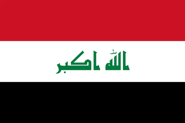
The flag of Iraq has three equal horizontal stripes: red on top, white in the middle and black at the bottom. In the center of the white stripe, the phrase Allahu Akbar, meaning God is great, is written in green Kufic Arabic script. The flag has a 2:3 ratio.
Countries bordering Iraq
Frequently asked questions
What countries border Iraq?
Iraq borders six countries: Turkey to the north, Iran to the east, Kuwait and Saudi Arabia to the south, and Jordan and Syria to the west.
How many governorates does Iraq have?
Iraq has 18 governorates. Fifteen are run under the central government in Baghdad, and three in the north, Erbil, Duhok and Sulaymaniyah, form the autonomous Kurdistan Region.
Which rivers flow through Iraq?
Iraq's two great rivers are the Tigris and the Euphrates. Both rise in Turkey, cross Iraq from northwest to southeast and join to form the Shatt al-Arab, which flows into the Persian Gulf.
What is the capital of Iraq?
The capital of Iraq is Baghdad.
What language is spoken in Iraq?
The official languages are Arabic and Kurdish language.
Can I print the map of Iraq?
Yes. Every map on this page can be downloaded for free as PNG or PDF (US Letter) and printed, including the blank map and the coloring map. Please credit the source (Atlas of Maps, CC BY 4.0).
Use this map
You can download, print and share this map for free, in class, in school projects, in presentations and on websites, as long as you credit the source: Map of Iraq · Atlas of Maps (atlasofmaps.com), license CC BY 4.0.
See also: Map of Asia · Map of the Middle East · World map