Map of Lebanon with governorates and capitals
Lebanon is a small country in Western Asia, in the Middle East, on the eastern shore of the Mediterranean Sea. It borders Syria to the north and east and Israel to the south, and its coastline faces the Mediterranean to the west. The political map shows its 9 governorates, the capital, Beirut, and major cities.

- Capital
- Beirut
- Population
- 6.1 million (2018)
- Area
- 10,452 km² (4,036 sq mi)
- Population density
- 584 per km² (1,512 per sq mi)
- Official language
- Arabic
- Currency
- Lebanese pound
- Demonym
- Lebanese
- Governorates
- 9
- Highest point
- Qurnat as Sawda' (3,088 m (10,131 ft))
- Calling code
- +961
- Internet domain
- .lb
- Official name
- Lebanese Republic
Where is Lebanon?
Lebanon is a small country in Western Asia, in the Middle East, on the eastern shore of the Mediterranean Sea. It borders Syria to the north and east and Israel to the south, and its coastline faces the Mediterranean to the west.

Governorates of Lebanon
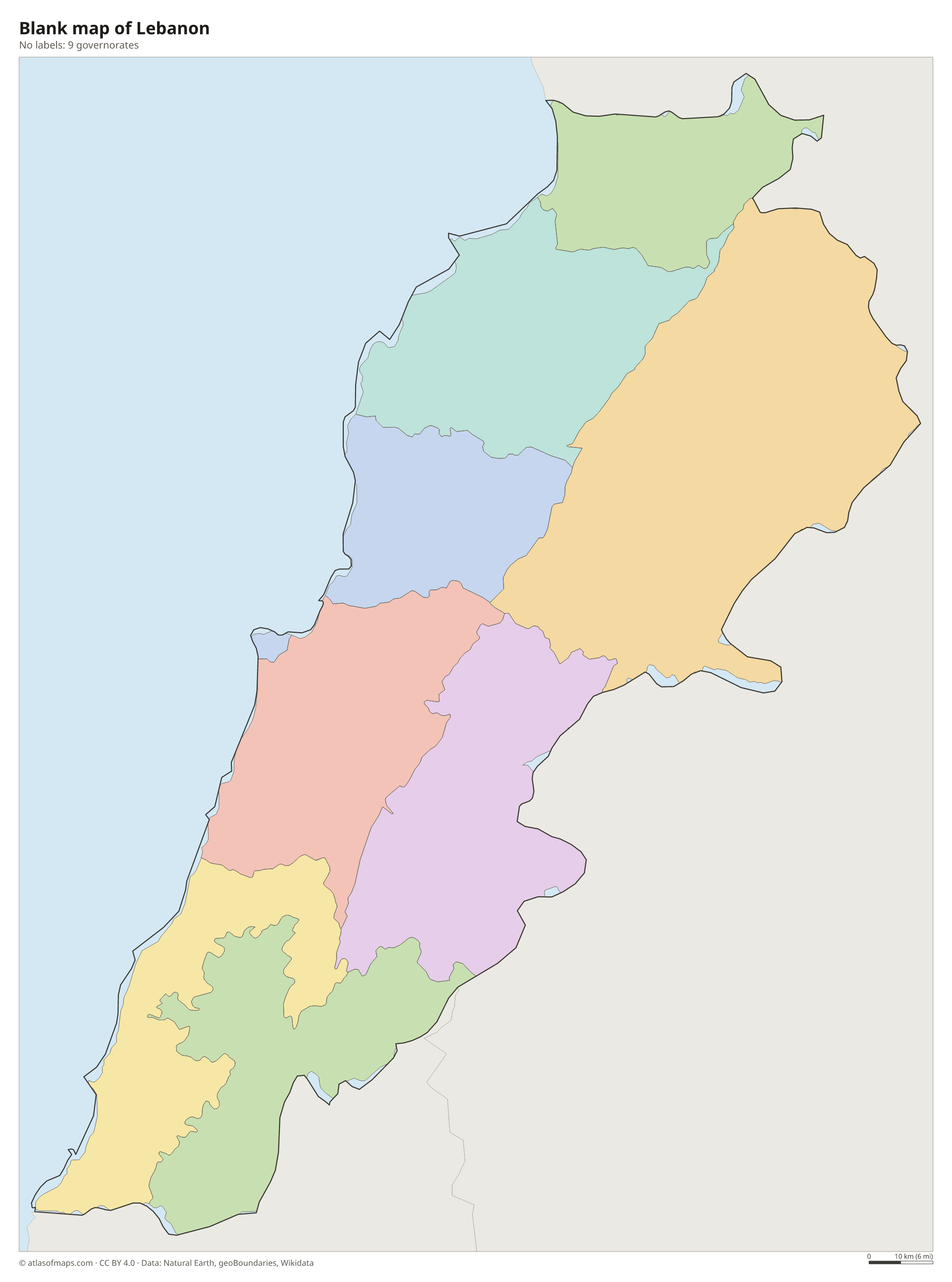
Lebanon is divided into 9 governorates: Beirut, Mount Lebanon, Keserwan-Jbeil, North Lebanon, Akkar, Beqaa, Baalbek-Hermel, South Lebanon and Nabatieh. Beirut, the capital, is the smallest governorate and covers just the city itself.
| Governorate | Area |
|---|---|
| Akkar | 735 km² (284 sq mi) |
| Baalbek-Hermel | 2,647 km² (1,022 sq mi) |
| Beirut | 20 km² (7.7 sq mi) |
| Beqaa | 1,282 km² (495 sq mi) |
| Keserwan-Jbeil | 756 km² (292 sq mi) |
| Mount Lebanon | 1,201 km² (464 sq mi) |
| Nabatieh | 1,026 km² (396 sq mi) |
| North Lebanon | 1,230 km² (475 sq mi) |
| South Lebanon | 932 km² (360 sq mi) |
Blank and coloring maps of Lebanon
Blank map of Lebanon

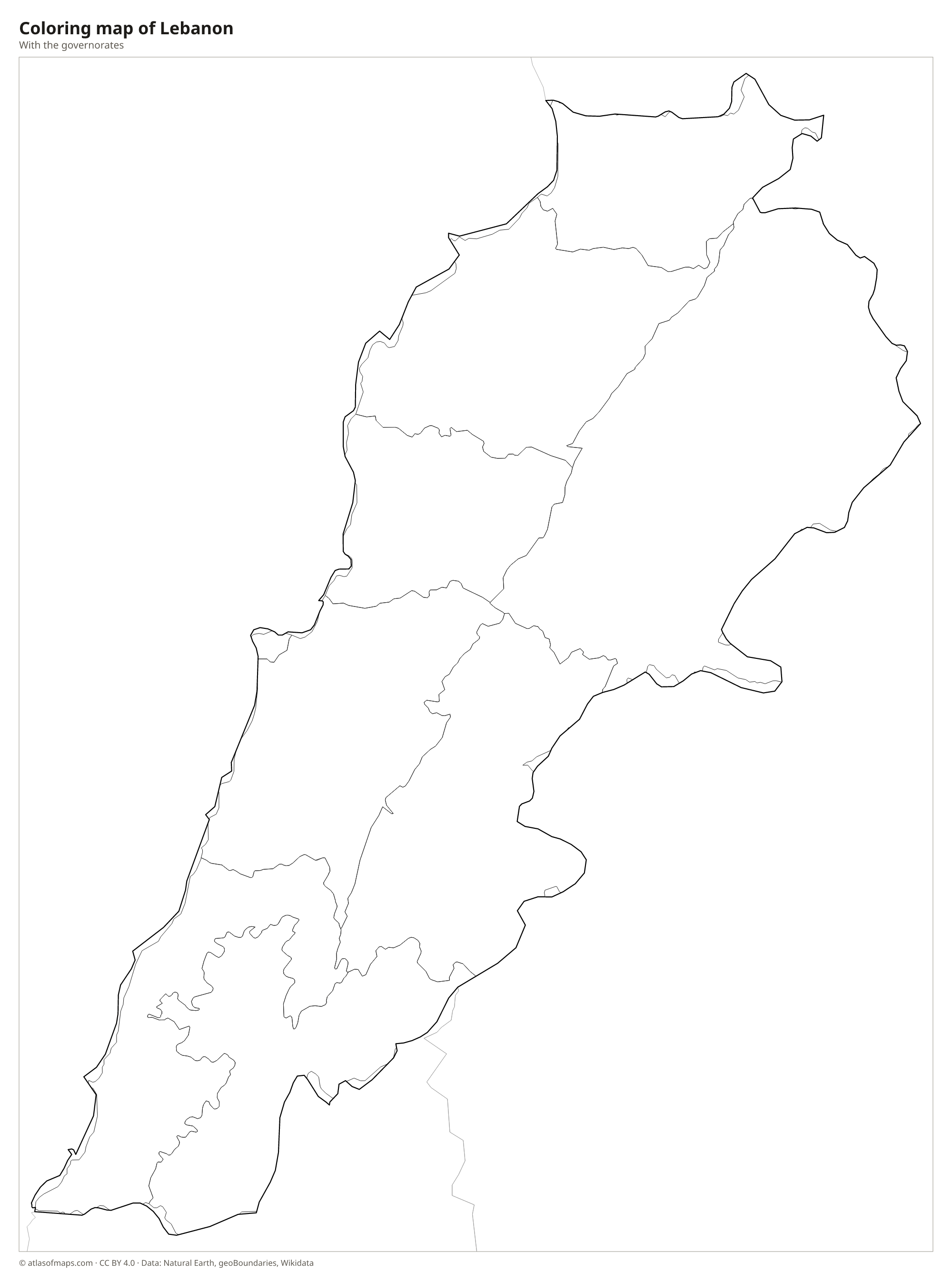
Coloring map of Lebanon

Geography of Lebanon
Lebanon covers just 10,452 km² (4,036 sq mi) and is made up of four strips that run parallel to the coast. A narrow coastal plain holds the main cities, including Beirut, Tripoli, Sidon and Tyre. Behind it rise the Mount Lebanon mountains, where Qurnat as Sawda' is the highest point at 3,088 m (10,131 ft). East of them lies the fertile Beqaa Valley, a high plain of farmland and vineyards, and beyond it the Anti-Lebanon Mountains form the border with Syria.
The Litani River, the longest river entirely within Lebanon, rises in the Beqaa and flows south before turning west to the Mediterranean, while the Orontes rises nearby and flows north into Syria. Snowmelt from the mountains feeds springs and caves such as the Jeita Grotto. The climate is Mediterranean, with hot, dry summers on the coast and cool, wet winters, and the high mountains receive heavy snow. In the north, the Qadisha Valley holds the Forest of the Cedars of God, a grove of the famous Lebanon cedars.
Fun facts
- Byblos, on the coast north of Beirut, is considered one of the oldest continuously inhabited cities in the world.
- The ruins of Baalbek in the Beqaa Valley include some of the largest Roman temples ever built.
- Lebanon is one of the few countries in the Middle East without a desert.
Flag of Lebanon
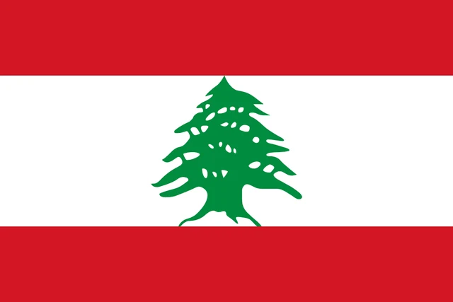
Lebanon's flag has three horizontal stripes: red at the top and bottom and a white stripe twice as tall in the middle. In the center of the white stripe stands a green Lebanon cedar tree, whose top and base touch the red stripes. The flag has a 2:3 ratio.
Countries bordering Lebanon
Frequently asked questions
What countries border Lebanon?
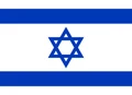
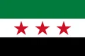
Lebanon borders only two countries: Syria to the north and east and Israel to the south. Its western side faces the Mediterranean Sea, with Cyprus offshore to the west.
How many governorates does Lebanon have?
Lebanon has 9 governorates. The newest, Keserwan-Jbeil, was split from Mount Lebanon, and Beirut, the capital, forms a governorate of its own.
Does it snow in Lebanon?
Yes. Although Lebanon has a warm Mediterranean coast, its mountains receive heavy snow in winter, and ski resorts operate in the mountains above Beirut and near the famous cedar groves.
What is the capital of Lebanon?
The capital of Lebanon is Beirut.
What language is spoken in Lebanon?
The official language is Arabic.
Can I print the map of Lebanon?
Yes. Every map on this page can be downloaded for free as PNG or PDF (US Letter) and printed, including the blank map and the coloring map. Please credit the source (Atlas of Maps, CC BY 4.0).
Use this map
You can download, print and share this map for free, in class, in school projects, in presentations and on websites, as long as you credit the source: Map of Lebanon · Atlas of Maps (atlasofmaps.com), license CC BY 4.0.
See also: Map of Asia · Map of the Middle East · World map