Map of Israel with regions and capitals
Israel is a country in Western Asia, in the Middle East, on the eastern shore of the Mediterranean Sea. It borders Lebanon, Syria, Jordan, Egypt and the Palestinian territories of the West Bank and the Gaza Strip, and reaches the Red Sea at the Gulf of Aqaba. The political map shows its 6 regions, the capital, Jerusalem, and major cities.

- Capital
- Jerusalem
- Population
- 9.8 million (2023)
- Area
- 20,770 km² (8,019 sq mi)
- Population density
- 474 per km² (1,227 per sq mi)
- Official language
- Hebrew
- Currency
- new shekel
- Demonym
- Israeli
- Regions
- 6
- Highest point
- Meron (1,208 m (3,963 ft))
- Calling code
- +972
- Internet domain
- .il
Where is Israel?
Israel is a country in Western Asia, in the Middle East, on the eastern shore of the Mediterranean Sea. It borders Lebanon, Syria, Jordan, Egypt and the Palestinian territories of the West Bank and the Gaza Strip, and reaches the Red Sea at the Gulf of Aqaba.
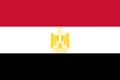
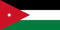
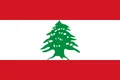
Neighboring countries: Egypt, Jordan, Lebanon, Palestine, Syria.

Regions of Israel and their capitals
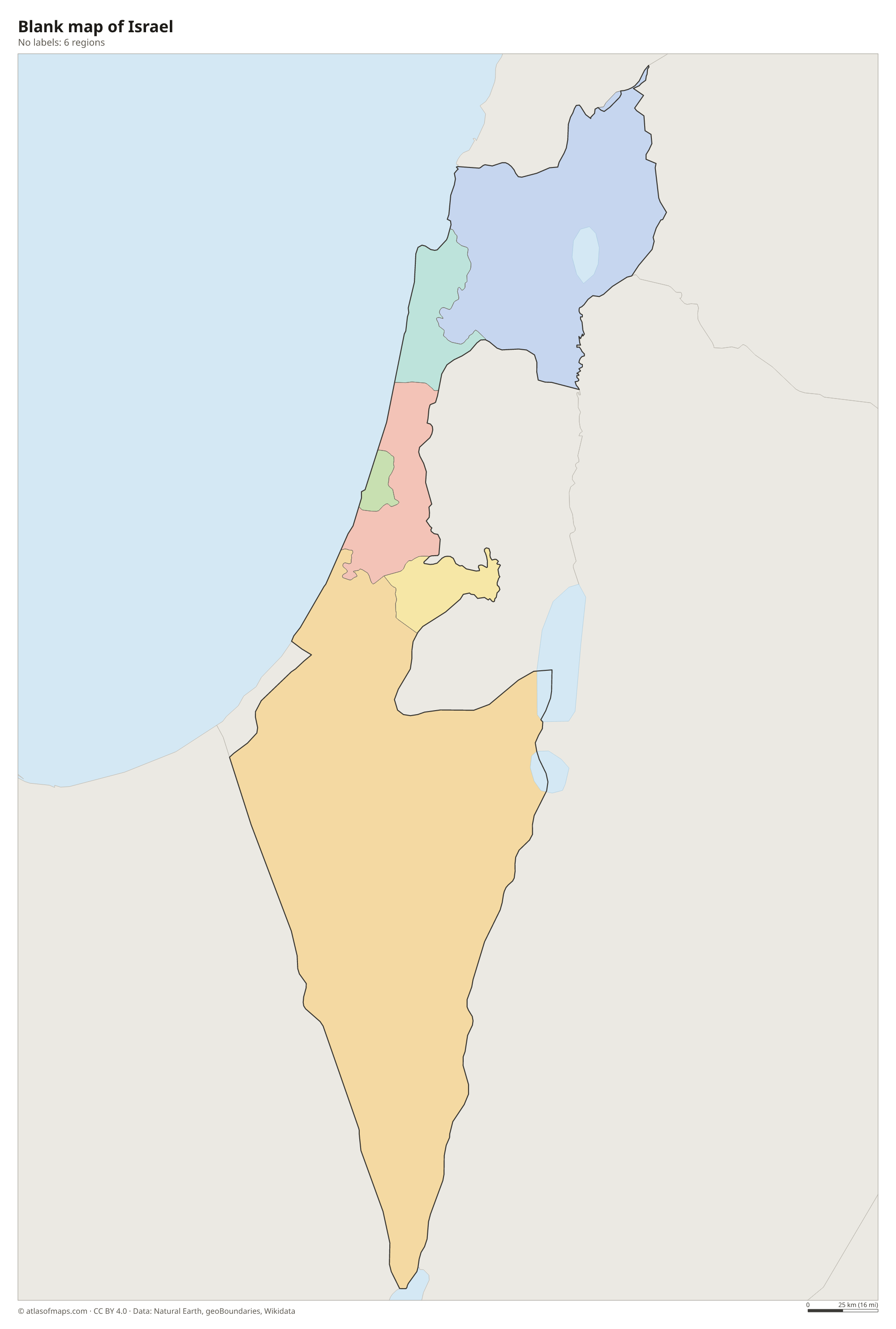
Israel is divided into 6 districts: Northern, Haifa, Central, Tel Aviv, Jerusalem and Southern, which covers the Negev and is by far the largest. Israel names Jerusalem as its capital, though its status is disputed and many countries keep their embassies in Tel Aviv.
| Region | Capital | Population | Area |
|---|---|---|---|
| Central | Ramla | 2,115,800 | 1,293 km² (499 sq mi) |
| Haifa | Haifa | 966,700 | 864 km² (334 sq mi) |
| Jerusalem | Jerusalem | 1,034,200 | 652 km² (252 sq mi) |
| Northern | Nof HaGalil | 1,448,100 | 4,473 km² (1,727 sq mi) |
| Southern | Beersheba | 1,272,100 | 14,185 km² (5,477 sq mi) |
| Tel Aviv | Tel Aviv | 1,350,000 | 186 km² (72 sq mi) |
Population from Wikidata (latest figure available for each region).
Blank and coloring maps of Israel
Blank map of Israel

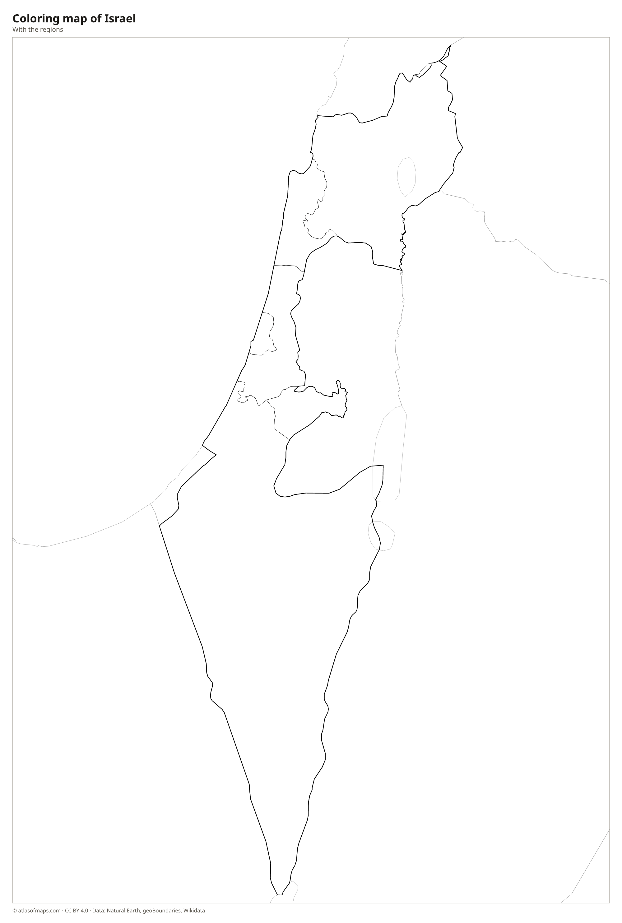
Coloring map of Israel

Geography of Israel
Israel covers 20,770 km² (8,019 sq mi) and packs very different landscapes into a small area. A fertile coastal plain runs along the Mediterranean, home to Tel Aviv and Haifa. Inland rise the hills of Galilee in the north, where Mount Meron is the highest point at 1,208 m (3,963 ft), and the central highlands around Jerusalem. To the east lies the Jordan Rift Valley, and the south is taken up by the Negev Desert, a triangle of dry plateaus and canyons that ends at the port of Eilat.
The Jordan River flows south from the Sea of Galilee, a freshwater lake also called Lake Kinneret, to the Dead Sea. The shores of the Dead Sea are the lowest land on Earth, and its water is so salty that swimmers float easily. In the Negev, the Ramon Crater is a huge erosion crater, not a volcanic one. The climate is Mediterranean in the north and center, with hot, dry summers and mild, rainy winters, and desert in the south. The Golan Heights, captured from Syria in 1967 and controlled by Israel, remain disputed.
Fun facts
- Israel has coasts on two seas: the Mediterranean Sea in the west and the Red Sea at Eilat, on the Gulf of Aqaba.
- The Sea of Galilee lies well below sea level and is one of the lowest freshwater lakes on Earth.
- The Negev Desert covers more than half of Israel's land area.
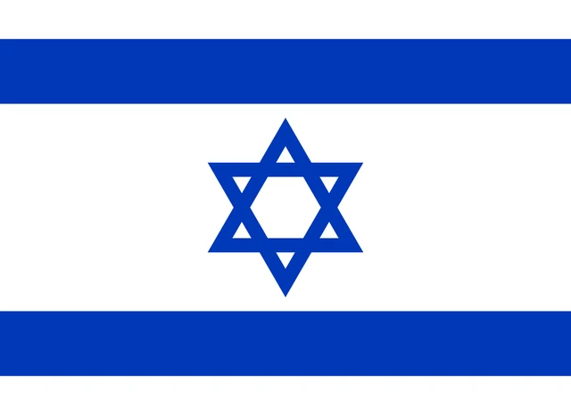
Flag of Israel
The flag of Israel has a white field with two horizontal blue stripes, one near the top and one near the bottom. Between them, in the center, is a blue Star of David, a six-pointed star formed by two overlapping triangles. The flag has an 8:11 ratio.
Countries bordering Israel
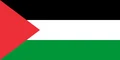
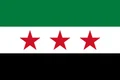
Frequently asked questions
What countries border Israel?
Israel borders Lebanon to the north, Syria to the northeast, Jordan to the east and Egypt to the southwest. It also borders the Palestinian territories of the West Bank in the east and the Gaza Strip on the southern coast.
How many districts does Israel have?
Israel has 6 districts: Northern, Haifa, Central, Tel Aviv, Jerusalem and Southern. The Southern District, which includes the Negev Desert, is the largest by area.
Is Israel in Asia?
Yes. Israel is in Western Asia, in the region called the Middle East or the Levant. It lies where Asia meets Africa, next to Egypt's Sinai Peninsula.
What is the capital of Israel?
The capital of Israel is Jerusalem.
How many regions does Israel have?
Israel is divided into 6 regions: Central, Haifa, Jerusalem, Northern, Southern, and Tel Aviv.
What language is spoken in Israel?
The official language is Hebrew.
Can I print the map of Israel?
Yes. Every map on this page can be downloaded for free as PNG or PDF (US Letter) and printed, including the blank map and the coloring map. Please credit the source (Atlas of Maps, CC BY 4.0).
Use this map
You can download, print and share this map for free, in class, in school projects, in presentations and on websites, as long as you credit the source: Map of Israel · Atlas of Maps (atlasofmaps.com), license CC BY 4.0.
See also: Map of Asia · Map of the Middle East · World map