Map of Syria with governorates and capitals
Syria is a country in Western Asia, in the Middle East, with a short coastline on the eastern Mediterranean Sea. It borders Turkey to the north, Iraq to the east, Jordan to the south, Israel to the southwest and Lebanon to the west. The political map shows its 15 governorates, the capital, Damascus, and major cities.

- Capital
- Damascus
- Population
- 23.9 million (2024)
- Area
- 185,180 km² (71,498 sq mi)
- Population density
- 129 per km² (334 per sq mi)
- Official language
- Arabic
- Currency
- Syrian pound
- Demonym
- Syrian
- Governorates
- 15
- Highest point
- Mount Hermon (2,814 m (9,232 ft))
- Calling code
- +963
- Internet domain
- .sy
- Official name
- Syrian Arab Republic
Where is Syria?
Syria is a country in Western Asia, in the Middle East, with a short coastline on the eastern Mediterranean Sea. It borders Turkey to the north, Iraq to the east, Jordan to the south, Israel to the southwest and Lebanon to the west.
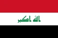
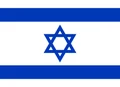
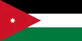
Neighboring countries: Iraq, Israel, Jordan, Lebanon, Turkey.

Governorates of Syria and their capitals
Syria is divided into governorates (muhafazat), most of them named after their main city, such as Aleppo, Homs and Latakia. The city of Damascus and the surrounding countryside, Rif Dimashq, form separate governorates.
| Governorate | Capital | Population | Area |
|---|---|---|---|
| Al-Hasakah | Hasakah | 1,512,000 | 23,334 km² (9,009 sq mi) |
| Al-Raqqah | Raqqa | 944,000 | 19,616 km² (7,574 sq mi) |
| Aleppo | Aleppo | 4,868,000 | 18,482 km² (7,136 sq mi) |
| As-Suwayda | Suwayda | 370,000 | 5,550 km² (2,143 sq mi) |
| Damascus | Damascus | 1,754,000 | — |
| Daraa | Daraa | 1,027,000 | 3,730 km² (1,440 sq mi) |
| Deir ez-Zor | Deir ez-Zor | 1,239,000 | 33,060 km² (12,765 sq mi) |
| Hama | Hama | 1,628,000 | 8,883 km² (3,430 sq mi) |
| Homs | Homs | 2,145,184 | 42,223 km² (16,302 sq mi) |
| Idlib | Idlib | 1,501,000 | 6,097 km² (2,354 sq mi) |
| Latakia | Latakia | 1,364,985 | 2,297 km² (887 sq mi) |
| Quneitra | Quneitra | 49,195 | 1,200 km² (463 sq mi) |
| Rif Dimashq | Damascus | 2,836,000 | 18,032 km² (6,962 sq mi) |
| Tartus | Tartus | 797,000 | 1,892 km² (731 sq mi) |
| Western al-Samadania | — | — | — |
Population from Wikidata (latest figure available for each governorate).
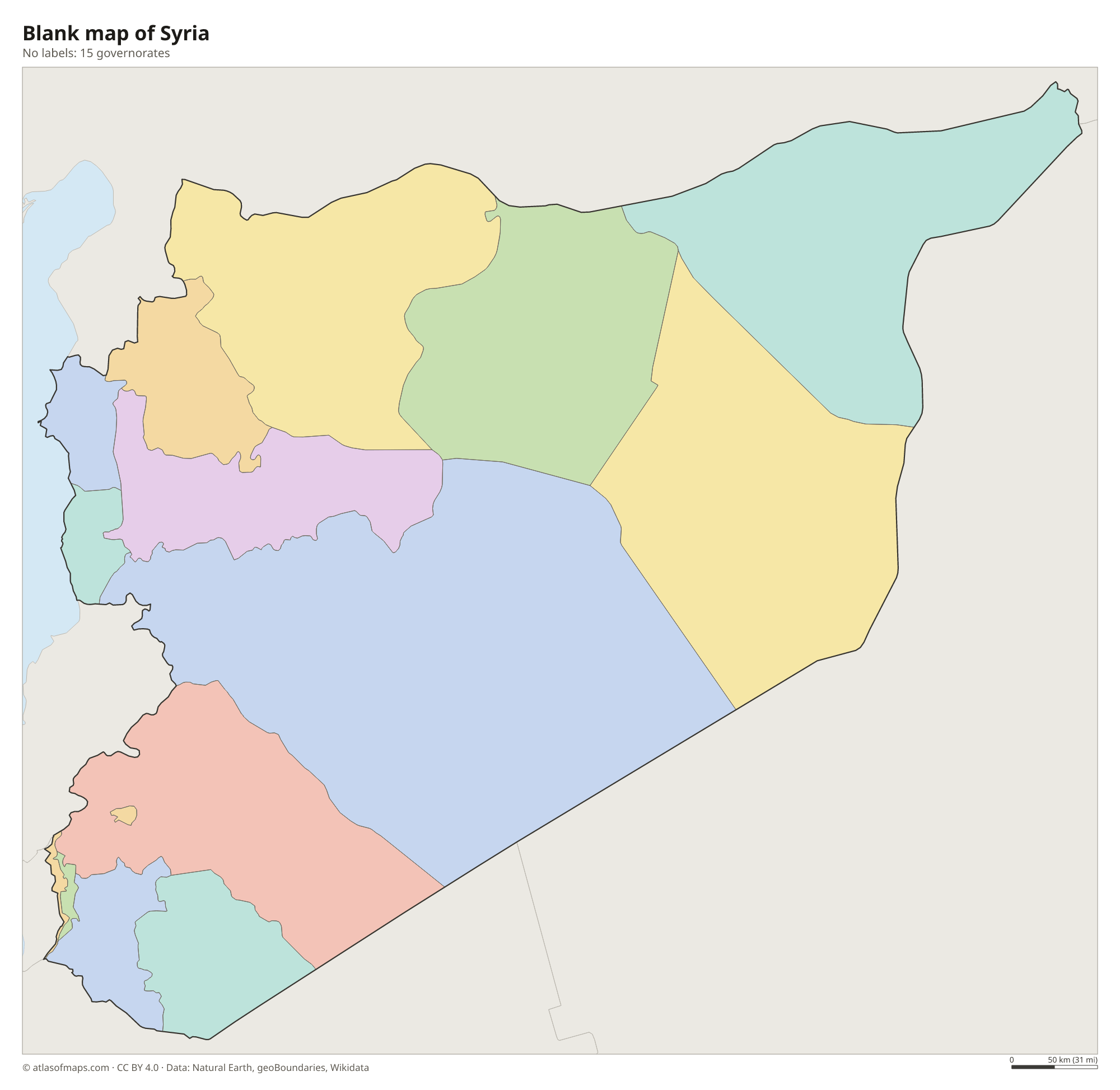
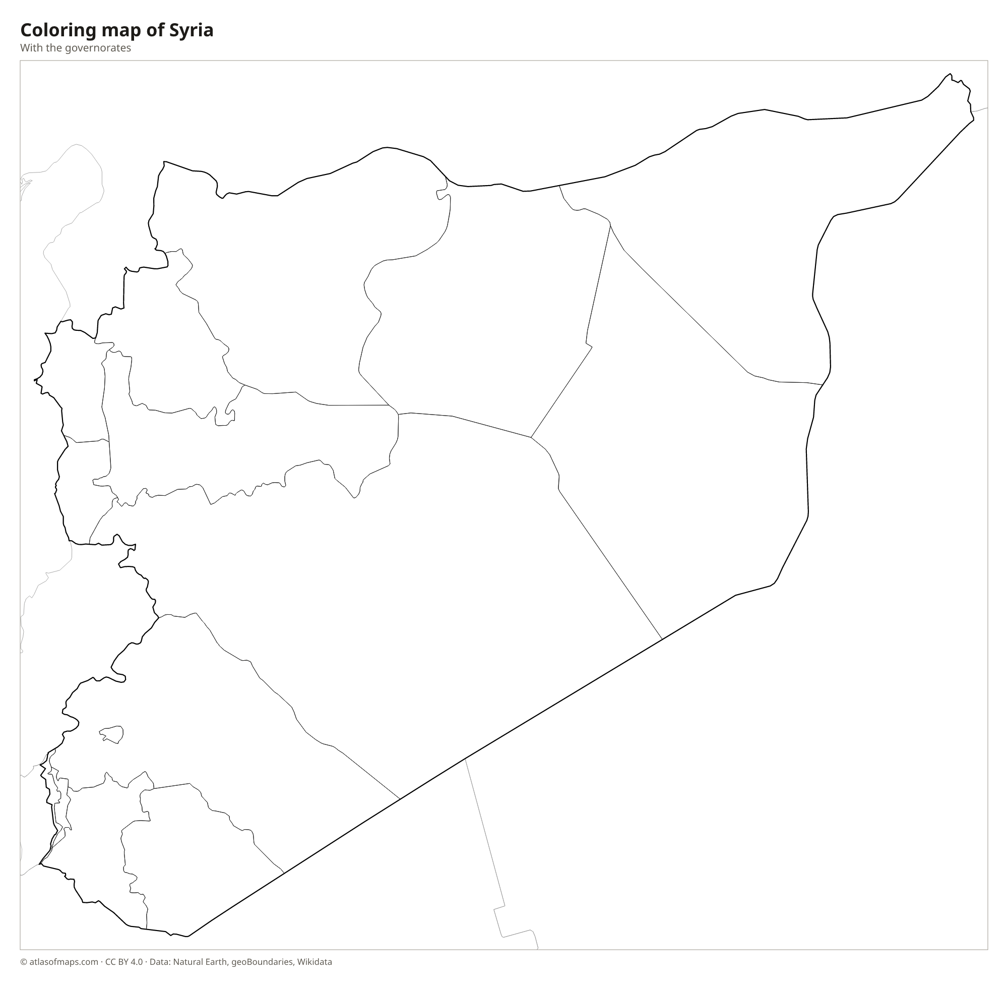
Blank and coloring maps of Syria
Blank map of Syria

Coloring map of Syria

Geography of Syria
Syria covers about 185,180 km² (71,498 sq mi). A narrow, fertile plain runs along the Mediterranean coast, backed by the Coastal Mountains. Farther south, the Anti-Lebanon Mountains follow the border with Lebanon and end in Mount Hermon, the highest point at 2,814 m (9,232 ft). East of these ranges, the land opens into plains and plateaus around Homs, Hama and Aleppo, and then into the Syrian Desert, a dry, stony steppe that covers much of the south and east. Israel has held most of the Golan Heights in the southwest since 1967, and Syria claims them.
The Euphrates enters from Turkey and crosses the northeast toward Iraq; the Tabqa Dam holds it back to form Lake Assad. The Orontes flows north through Homs and Hama, and the Tigris touches Syria only briefly in the far northeastern corner. The Jazira, the region between the Euphrates and the Tigris, is an important grain-growing area. The coast has a Mediterranean climate with wet winters, the interior has hot, dry summers and cool winters, and rainfall drops steadily toward the desert in the east.
Fun facts
- Damascus is often described as one of the oldest continuously inhabited cities in the world.
- The ruins of Palmyra, an ancient caravan city, stand in an oasis in the middle of the Syrian Desert.
- The Euphrates, one of the two great rivers of ancient Mesopotamia, flows across Syria for hundreds of kilometers before it enters Iraq.
Flag of Syria
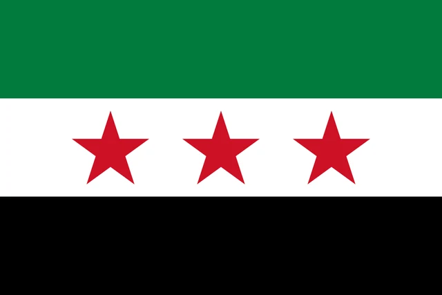
The flag of Syria has three equal horizontal stripes of green, white and black. Three red five-pointed stars are set in a row across the middle of the white stripe. It uses the pan-Arab colors and is often called the independence flag, because it was the flag Syria flew when it became independent in 1946.
Countries bordering Syria
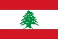
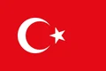
Frequently asked questions
What countries border Syria?
Syria borders five countries: Turkey to the north, Iraq to the east, Jordan to the south, Israel to the southwest and Lebanon to the west. It also has a coastline on the Mediterranean Sea.
What is the capital of Syria?
The capital of Syria is Damascus, in the southwest near the Anti-Lebanon Mountains. Aleppo, in the north, has long been the country's other major city.
Is Syria in the Middle East?
Yes. Syria is in Western Asia and is part of the Middle East, on the eastern shore of the Mediterranean. With its neighbors along that coast, it belongs to the historic region known as the Levant.
How many governorates does Syria have?
Syria is divided into 15 governorates: Al-Hasakah, Al-Raqqah, Aleppo, As-Suwayda, Damascus, Daraa, Deir ez-Zor, Hama, Homs, Idlib, Latakia, Quneitra, Rif Dimashq, Tartus, and Western al-Samadania.
What language is spoken in Syria?
The official language is Arabic.
Can I print the map of Syria?
Yes. Every map on this page can be downloaded for free as PNG or PDF (US Letter) and printed, including the blank map and the coloring map. Please credit the source (Atlas of Maps, CC BY 4.0).
Use this map
You can download, print and share this map for free, in class, in school projects, in presentations and on websites, as long as you credit the source: Map of Syria · Atlas of Maps (atlasofmaps.com), license CC BY 4.0.
See also: Map of Asia · Map of the Middle East · World map