Map of Liechtenstein with regions and capitals
Liechtenstein is a tiny landlocked country in Central Europe, set in the Alps between Switzerland to the west and south and Austria to the east and north. The Rhine River forms most of its western border with Switzerland. The political map shows its 11 regions, the capital, Vaduz, and major cities.

- Capital
- Vaduz
- Population
- 37,922 (2017)
- Area
- 160 km² (62 sq mi)
- Population density
- 237 per km² (614 per sq mi)
- Official language
- German
- Currency
- Swiss franc
- Demonym
- Liechtensteiner
- Regions
- 11
- Highest point
- Grauspitz (2,599 m (8,527 ft))
- Calling code
- +423
- Internet domain
- .li
Where is Liechtenstein?
Liechtenstein is a tiny landlocked country in Central Europe, set in the Alps between Switzerland to the west and south and Austria to the east and north. The Rhine River forms most of its western border with Switzerland.
Neighboring countries: Austria, Switzerland.

Regions of Liechtenstein and their capitals
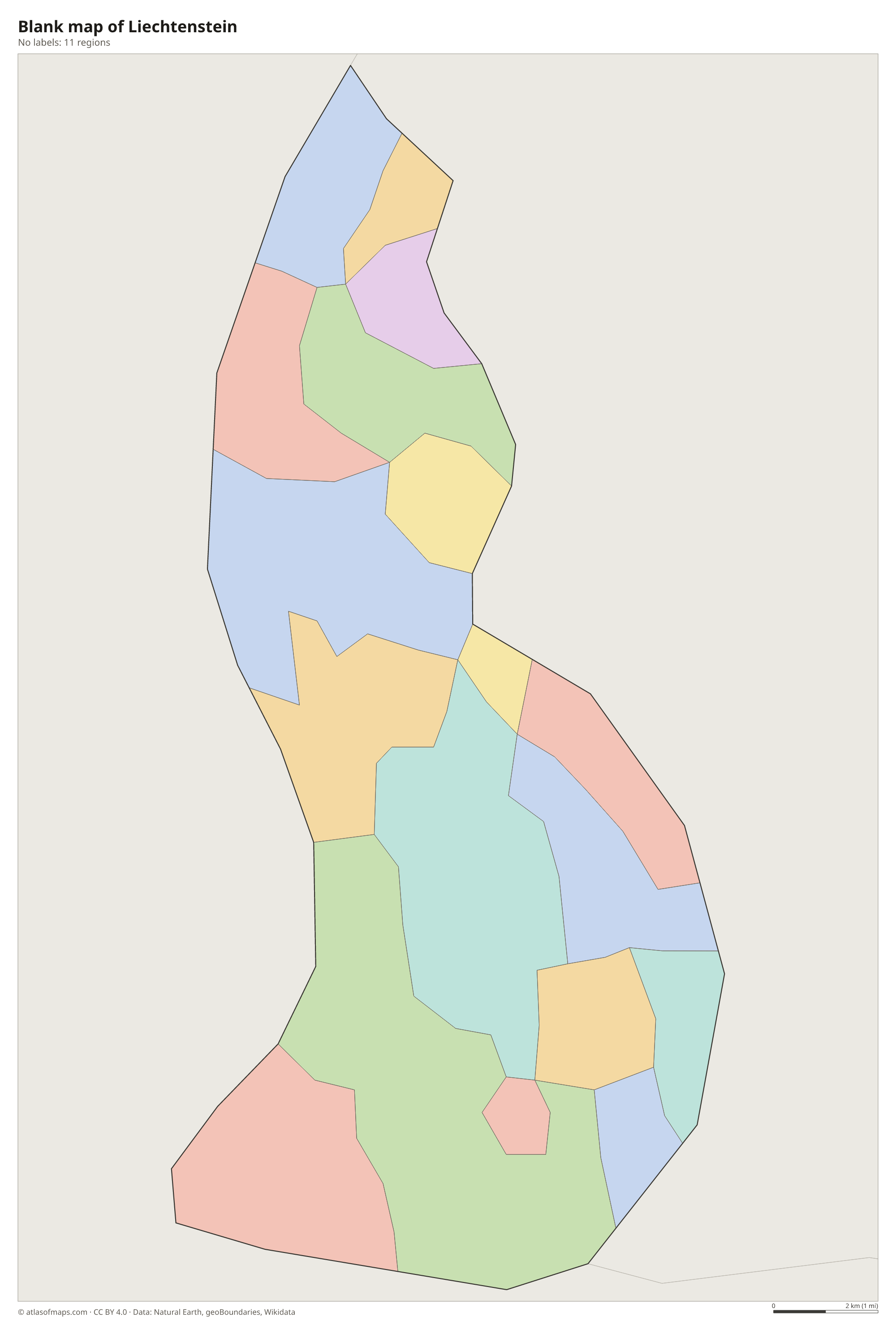
Liechtenstein is divided into 11 municipalities (Gemeinden), the units shown on the map. Six of them, including Vaduz, Schaan and Balzers, form the Oberland (Upper Country) in the south, and five, including Eschen and Mauren, form the Unterland (Lower Country) in the north.
| Region | Capital | Population | Area |
|---|---|---|---|
| Balzers | — | 4,688 | 20 km² (7.7 sq mi) |
| Eschen | — | 4,459 | 10 km² (3.9 sq mi) |
| Gamprin | — | 1,663 | 6 km² (2.3 sq mi) |
| Mauren | — | 4,404 | 8 km² (3.1 sq mi) |
| Planken | — | 478 | 5 km² (1.9 sq mi) |
| Ruggell | — | 2,474 | 7 km² (2.7 sq mi) |
| Schaan | Schaan | 5,998 | 27 km² (10 sq mi) |
| Schellenberg | Vaduz | 1,091 | 4 km² (1.5 sq mi) |
| Triesen | — | 5,230 | 26 km² (10 sq mi) |
| Triesenberg | — | 2,643 | 30 km² (12 sq mi) |
| Vaduz | Vaduz | 5,668 | 17 km² (6.6 sq mi) |
Population from Wikidata (latest figure available for each region).
Blank and coloring maps of Liechtenstein
Blank map of Liechtenstein

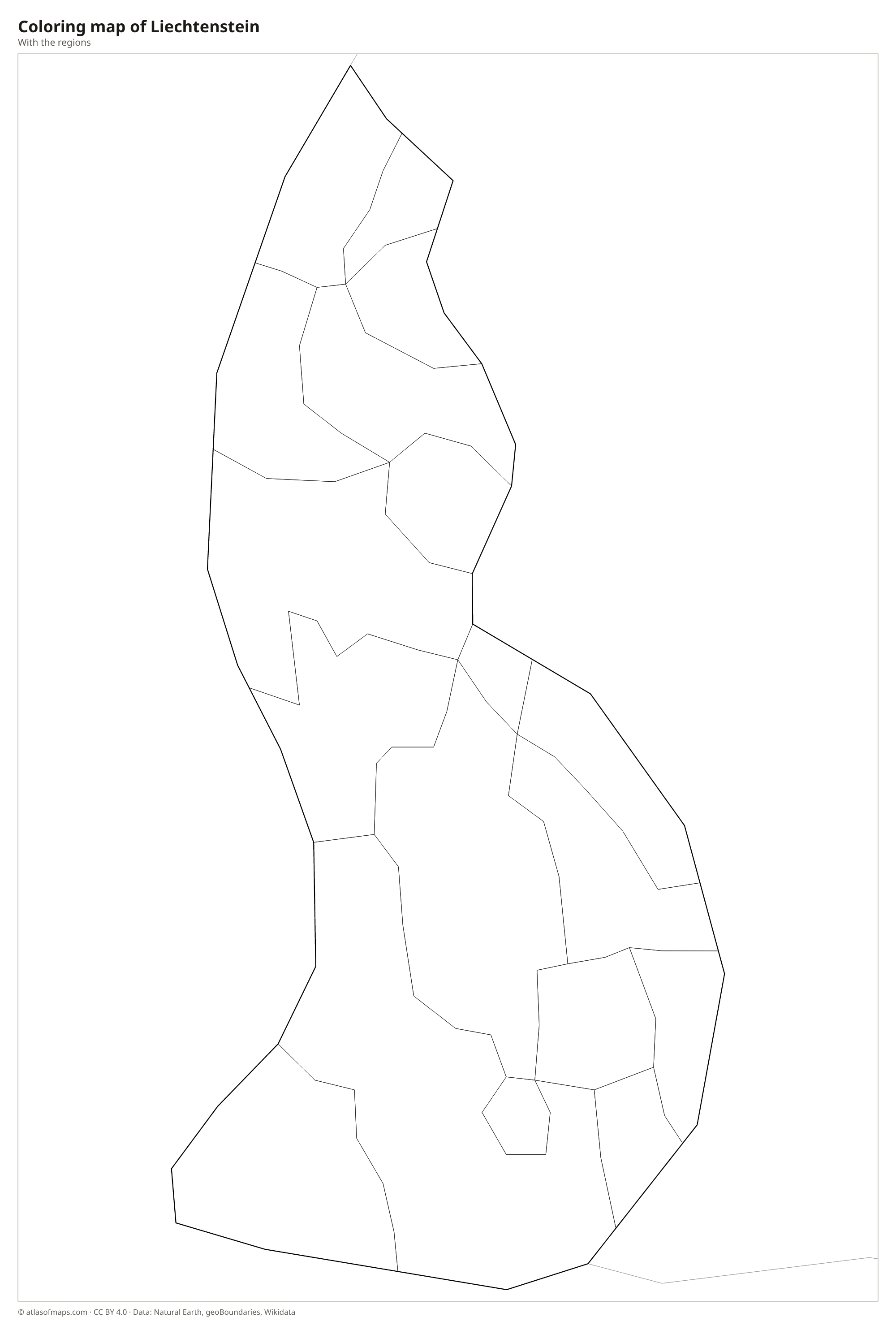
Coloring map of Liechtenstein

Geography of Liechtenstein
Liechtenstein covers just 160 km² (62 sq mi), making it one of the smallest countries in Europe. Its western strip is the flat floodplain of the Rhine Valley, where the capital, Vaduz, and most other towns and farms lie. East of the valley, the land rises steeply into the Rätikon range of the Alps, which fills most of the country. The highest summit, Grauspitz, reaches 2,599 m (8,527 ft) on the southern border with Switzerland, and high valleys such as Malbun and Steg are used for skiing and hiking.
The Rhine is the only large river; the other waterways are short mountain streams, and the Samina drains the eastern valleys before crossing into Austria. Despite the alpine setting, the Rhine Valley has a fairly mild climate, helped by the warm foehn wind that blows down from the south. Vineyards grow on sunny slopes around Vaduz, while the upper valleys are snowy in winter. Because both of its neighbors are also landlocked, the sea is far away, and Liechtenstein is one of only two doubly landlocked countries in the world.
Fun facts
- Liechtenstein and Uzbekistan are the only doubly landlocked countries: each is surrounded only by other landlocked countries.
- The whole country is only about 25 km (16 mi) long from north to south.
- Liechtenstein uses the Swiss franc and has shared a customs union with Switzerland since 1924.
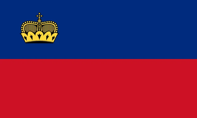
Flag of Liechtenstein
The flag of Liechtenstein has two equal horizontal bands, royal blue on top and red below. A gold crown with black outlines sits in the blue band near the hoist, in the upper left corner when the flag is seen from the front. There are no other symbols, and the flag has a 3:5 ratio, a little shorter than many European flags.
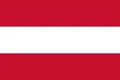
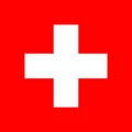
Countries bordering Liechtenstein
Frequently asked questions
What countries border Liechtenstein?
Liechtenstein borders just two countries: Switzerland to the west and south, and Austria to the east and north. Both neighbors are landlocked, which makes Liechtenstein doubly landlocked.
How many municipalities does Liechtenstein have?
Liechtenstein has 11 municipalities: Balzers, Eschen, Gamprin, Mauren, Planken, Ruggell, Schaan, Schellenberg, Triesen, Triesenberg and Vaduz, the capital.
What is the capital of Liechtenstein?
Vaduz is the capital of Liechtenstein. It lies on the floor of the Rhine Valley, below the hilltop Vaduz Castle, which is the home of the reigning prince.
How many regions does Liechtenstein have?
Liechtenstein is divided into 11 regions: Balzers, Eschen, Gamprin, Mauren, Planken, Ruggell, Schaan, Schellenberg, Triesen, Triesenberg, and Vaduz.
What language is spoken in Liechtenstein?
The official language is German.
Can I print the map of Liechtenstein?
Yes. Every map on this page can be downloaded for free as PNG or PDF (US Letter) and printed, including the blank map and the coloring map. Please credit the source (Atlas of Maps, CC BY 4.0).
Use this map
You can download, print and share this map for free, in class, in school projects, in presentations and on websites, as long as you credit the source: Map of Liechtenstein · Atlas of Maps (atlasofmaps.com), license CC BY 4.0.
See also: Map of Europe · World map