Map of Switzerland with cantons and capitals
Switzerland is a landlocked country in Central Europe, in the heart of the Alps. It borders Germany to the north, France to the west, Italy to the south, and Austria and Liechtenstein to the east. The political map shows its 26 cantons, the capital, Bern, and major cities.

- Capital
- Bern
- Population
- 9.1 million (2025)
- Area
- 41,291 km² (15,943 sq mi)
- Population density
- 220 per km² (571 per sq mi)
- Official languages
- German, Italian, French, and Romansh
- Currency
- Swiss franc
- Demonym
- Swiss
- Cantons
- 26
- Highest point
- Dufourspitze (4,634 m (15,203 ft))
- Calling code
- +41
- Internet domain
- .ch
- Official name
- Swiss Confederation
Where is Switzerland?
Switzerland is a landlocked country in Central Europe, in the heart of the Alps. It borders Germany to the north, France to the west, Italy to the south, and Austria and Liechtenstein to the east.
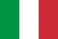
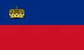
Neighboring countries: Austria, Germany, France, Italy, Liechtenstein.

Cantons of Switzerland and their capitals
Switzerland is a federation of 26 cantons, each with its own constitution, parliament and government. Six of them were traditionally called half-cantons, such as Basel-Stadt and Basel-Landschaft. Bern is the federal city, where the national government and parliament meet.
| Canton | Capital | Population | Area |
|---|---|---|---|
| Aargau | Aarau | 726,894 | 1,404 km² (542 sq mi) |
| Appenzell Ausserrhoden | Herisau | 56,495 | 243 km² (94 sq mi) |
| Appenzell Innerrhoden | Appenzell | 16,585 | 172 km² (66 sq mi) |
| Basel-Landschaft | Liestal | 298,837 | 518 km² (200 sq mi) |
| Basel-Stadt | Basel | 200,031 | 37 km² (14 sq mi) |
| Bern | Bern | 1,063,533 | 5,959 km² (2,301 sq mi) |
| Fribourg | Fribourg | 341,537 | 1,671 km² (645 sq mi) |
| Geneva | Geneva | 524,410 | 282 km² (109 sq mi) |
| Glarus | Glarus | 42,056 | 685 km² (264 sq mi) |
| Grisons | Chur | 204,888 | 7,105 km² (2,743 sq mi) |
| Jura | Delémont | 74,548 | 839 km² (324 sq mi) |
| Lucerne | Lucerne | 432,744 | 1,494 km² (577 sq mi) |
| Neuchâtel | Neuchâtel | 178,291 | 802 km² (310 sq mi) |
| Nidwalden | Stans | 45,016 | 276 km² (107 sq mi) |
| Obwalden | Sarnen | 39,272 | 491 km² (190 sq mi) |
| Schaffhausen | Schaffhausen | 87,111 | 298 km² (115 sq mi) |
| Schwyz | Schwyz | 167,403 | 908 km² (351 sq mi) |
| Solothurn | Solothurn | 286,844 | 790 km² (305 sq mi) |
| St. Gallen | St. Gallen | 535,114 | 2,031 km² (784 sq mi) |
| Thurgau | Frauenfeld | 295,220 | 992 km² (383 sq mi) |
| Ticino | Bellinzona | 358,903 | 2,812 km² (1,086 sq mi) |
| Uri | Altdorf | 37,931 | 1,077 km² (416 sq mi) |
| Valais | Sion | 365,844 | 5,225 km² (2,017 sq mi) |
| Vaud | Lausanne | 845,870 | 3,212 km² (1,240 sq mi) |
| Zug | Zug | 132,556 | 239 km² (92 sq mi) |
| Zürich | Zurich | 1,620,020 | 1,729 km² (668 sq mi) |
Population from Wikidata (latest figure available for each canton).
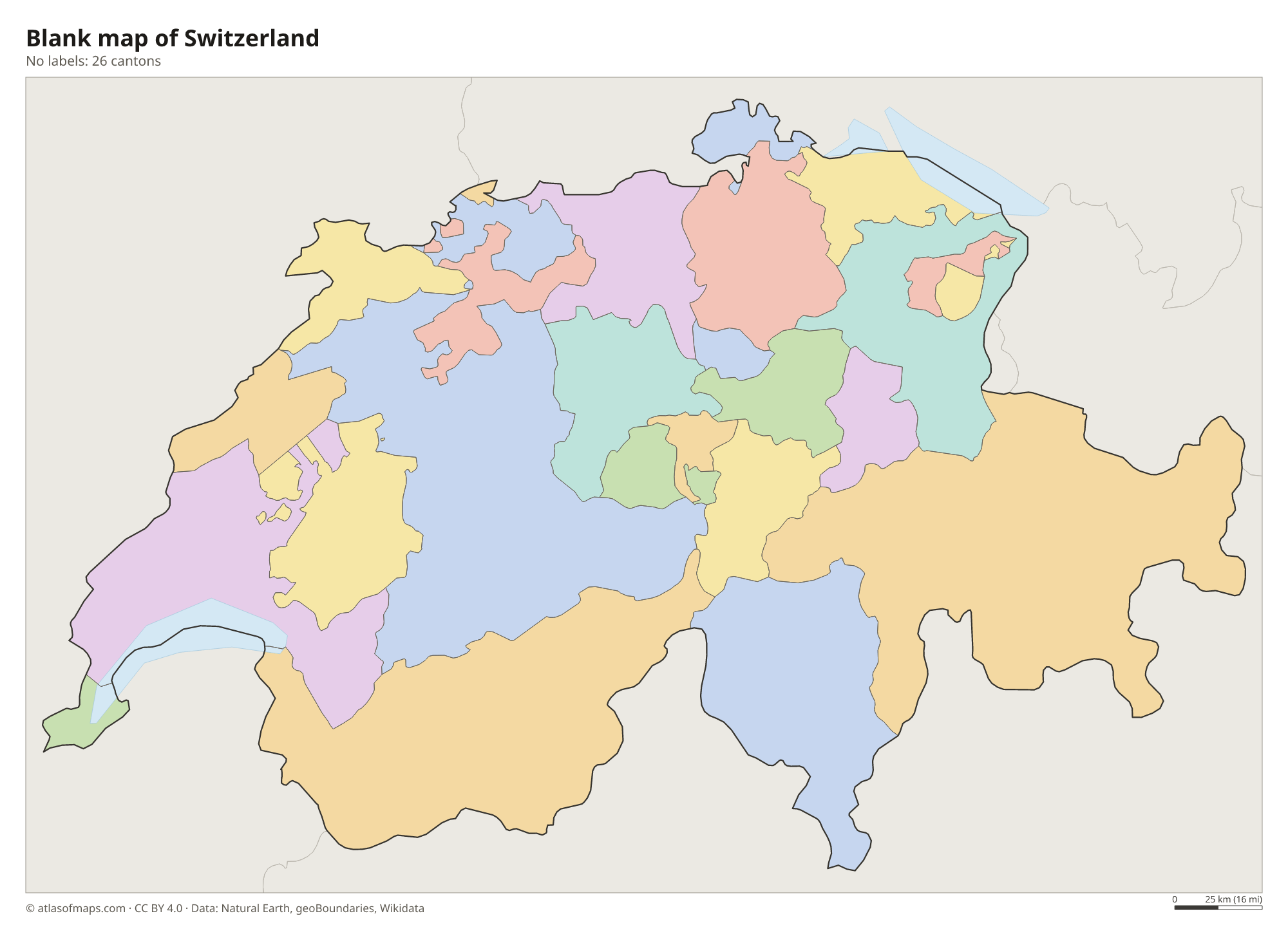
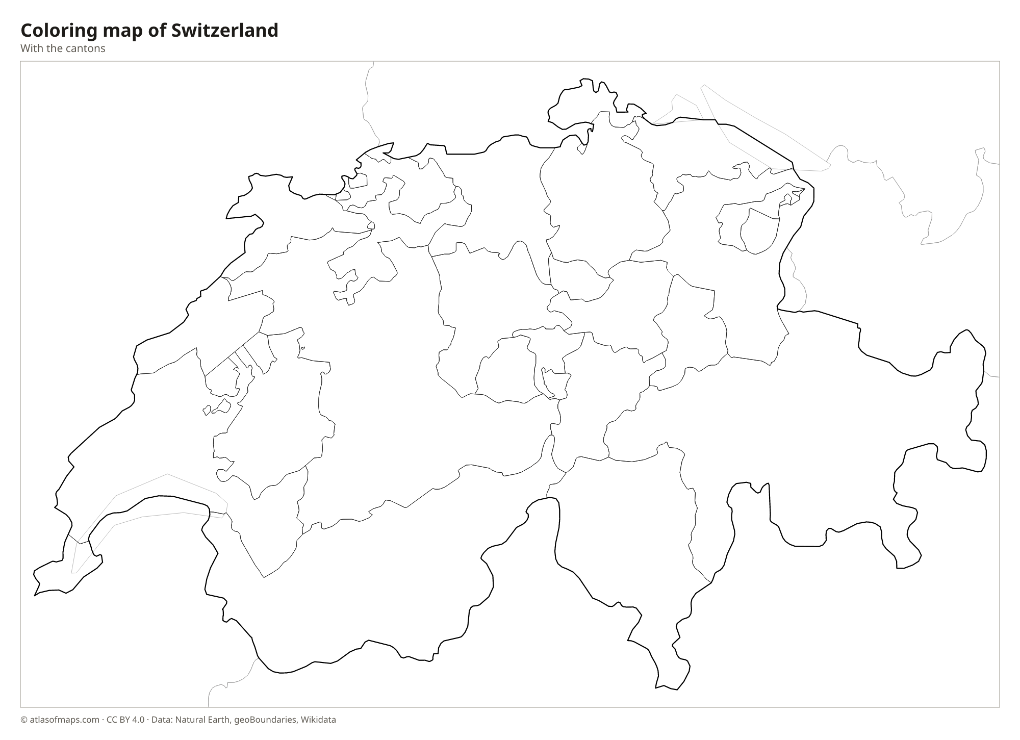
Blank and coloring maps of Switzerland
Blank map of Switzerland

Coloring map of Switzerland

Geography of Switzerland
Switzerland covers about 41,291 km² (15,943 sq mi) and has three natural regions. The Alps take up roughly 60 percent of the country in the south and center, with many peaks above 4,000 m (13,123 ft); the highest point is the Dufourspitze in the Monte Rosa massif, at 4,634 m (15,203 ft), close to the Italian border. In the northwest, the lower Jura Mountains run along the French border. Between the two lies the Swiss Plateau, a hilly region where most of the cities, farms and people are found.
Several great European rivers begin in the Swiss Alps. The Rhine flows north toward the North Sea, the Rhône west to the Mediterranean, the Inn east toward the Danube, and the Ticino south to the Po in Italy. Large lakes fill valleys carved by Ice Age glaciers: Lake Geneva is shared with France and Lake Constance with Germany and Austria, while Lake Neuchâtel is the largest lake entirely inside Switzerland. The Aletsch Glacier is the largest glacier in the Alps. The climate is temperate on the plateau and much colder in the high mountains.
Fun facts
- The Gotthard Base Tunnel under the Alps, opened in 2016, is the longest railway tunnel in the world.
- Switzerland has four national languages: German, French, Italian and Romansh.
- Geneva is home to the European headquarters of the United Nations and the head office of the International Committee of the Red Cross.
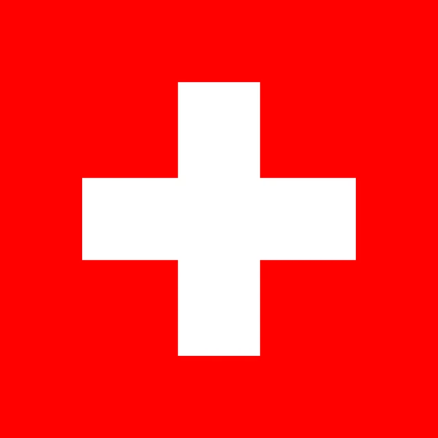
Flag of Switzerland
The flag of Switzerland is square: a red field with a white cross in the center. The cross does not touch the edges, and its four arms are equal, each one-sixth longer than it is wide. Apart from the flag of Vatican City, it is the only square national flag, although Swiss ships at sea use a rectangular version.
Countries bordering Switzerland
Frequently asked questions
What countries border Switzerland?
Switzerland borders five countries: Germany, France, Italy, Austria and Liechtenstein. Its longest borders are with Italy and France, and it has no coastline.
How many cantons does Switzerland have?
Switzerland has 26 cantons. The largest by area is Grisons in the east, and the smallest is Basel-Stadt, which consists mainly of the city of Basel.
What is the capital of Switzerland?
Bern is the capital of Switzerland, officially called the federal city. The largest city is Zürich, and Geneva is home to many international organizations.
What language is spoken in Switzerland?
The official languages are German, Italian, French, and Romansh.
Can I print the map of Switzerland?
Yes. Every map on this page can be downloaded for free as PNG or PDF (US Letter) and printed, including the blank map and the coloring map. Please credit the source (Atlas of Maps, CC BY 4.0).
Use this map
You can download, print and share this map for free, in class, in school projects, in presentations and on websites, as long as you credit the source: Map of Switzerland · Atlas of Maps (atlasofmaps.com), license CC BY 4.0.
See also: Map of Europe · World map