Map of Austria with states and capitals
Austria is a landlocked country in Central Europe, in the eastern Alps. It borders Germany and the Czech Republic to the north, Slovakia and Hungary to the east, Slovenia and Italy to the south, and Switzerland and Liechtenstein to the west. The political map shows its 9 states, the capital, Vienna, and major cities.

- Capital
- Vienna
- Population
- 9 million (2022)
- Area
- 83,879 km² (32,386 sq mi)
- Population density
- 107 per km² (277 per sq mi)
- Official language
- German
- Currency
- euro
- Demonym
- Austrian
- States
- 9
- Highest point
- Grossglockner (3,798 m (12,461 ft))
- Calling code
- +43
- Internet domain
- .at
- Official name
- Republic of Austria
Where is Austria?
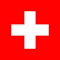
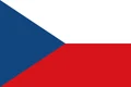
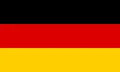
Austria is a landlocked country in Central Europe, in the eastern Alps. It borders Germany and the Czech Republic to the north, Slovakia and Hungary to the east, Slovenia and Italy to the south, and Switzerland and Liechtenstein to the west.
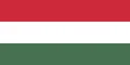
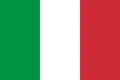
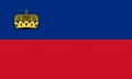
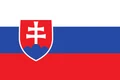
Neighboring countries: Switzerland, Czech Republic, Germany, Hungary, Italy, Liechtenstein, Slovakia, Slovenia.

States of Austria and their capitals
Austria is a federal republic of 9 states (Bundesländer): Vienna, Lower Austria, Upper Austria, Styria, Tyrol, Carinthia, Salzburg, Vorarlberg and Burgenland. Vienna is both the national capital and a state of its own, completely surrounded by Lower Austria.
| State | Capital | Population | Area |
|---|---|---|---|
| Burgenland | Eisenstadt | 301,790 | 3,965 km² (1,531 sq mi) |
| Carinthia | Klagenfurt am Wörthersee | 570,095 | 9,536 km² (3,682 sq mi) |
| Lower Austria | St. Pölten | 1,727,514 | 19,180 km² (7,405 sq mi) |
| Salzburg | Salzburg | 572,846 | 7,155 km² (2,763 sq mi) |
| Styria | Graz | 1,271,716 | 16,399 km² (6,332 sq mi) |
| Tyrol | Innsbruck | 777,660 | 12,648 km² (4,883 sq mi) |
| Upper Austria | Linz | 1,535,519 | 11,982 km² (4,626 sq mi) |
| Vienna | Vienna | 2,028,289 | 415 km² (160 sq mi) |
| Vorarlberg | Bregenz | 411,784 | 2,602 km² (1,005 sq mi) |
Population from Wikidata (latest figure available for each state).
Blank and coloring maps of Austria
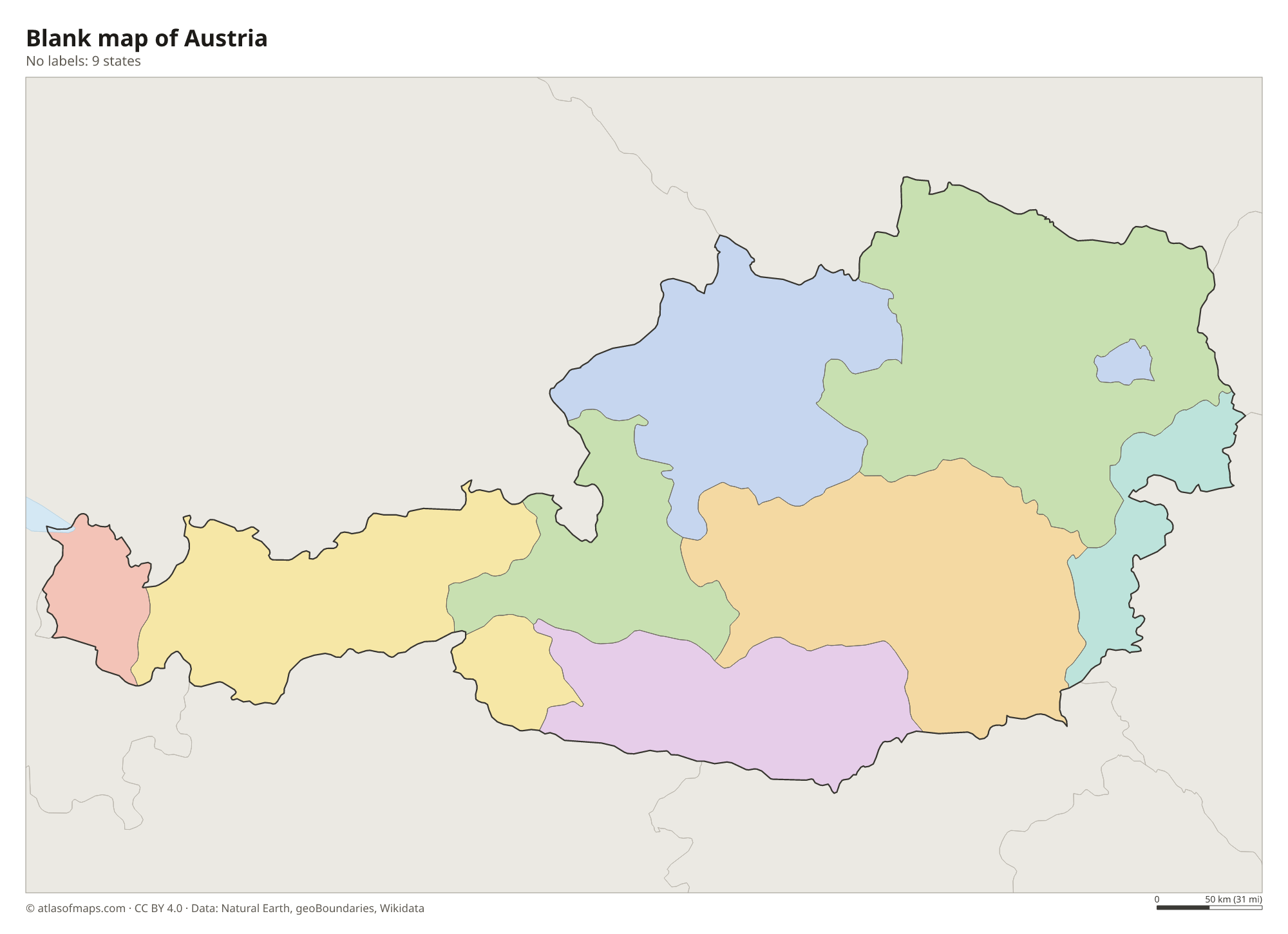
Blank map of Austria

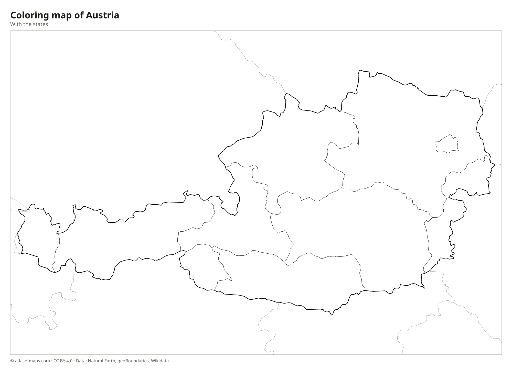
Coloring map of Austria

Geography of Austria
Austria covers 83,879 km² (32,386 sq mi), and the Alps fill about two-thirds of it, mainly in the west and south. The Hohe Tauern, the Ötztal Alps and the Zillertal Alps hold the highest peaks and many glaciers, and the Grossglockner, at 3,798 m (12,461 ft), is the highest point. North of the main ranges, the Northern Limestone Alps form steep gray cliffs. North of the Danube, the granite uplands of the Mühlviertel and Waldviertel belong to the Bohemian Massif, while the east opens into the lowlands of the Vienna Basin and the edge of the Pannonian Plain.
The Danube crosses northern Austria from west to east, passing Linz and Vienna, and most other rivers, such as the Inn, Salzach, Enns and Mur, drain into it. The Wachau, a stretch of the Danube valley lined with vineyards, is a UNESCO World Heritage Site. Lake Constance in the far west is shared with Germany and Switzerland, and the shallow Lake Neusiedl in the east is shared with Hungary. The climate is Central European, with cold, snowy winters in the mountains and warm summers in the lowlands. Austria had almost 9 million people in 2022.
Fun facts
- Vienna is one of four capital cities on the Danube, along with Bratislava, Budapest and Belgrade.
- The Pasterze, below the Grossglockner, is the longest glacier in Austria.
- Lake Neusiedl, a steppe lake on the Hungarian border, is very shallow and has no natural outflow.
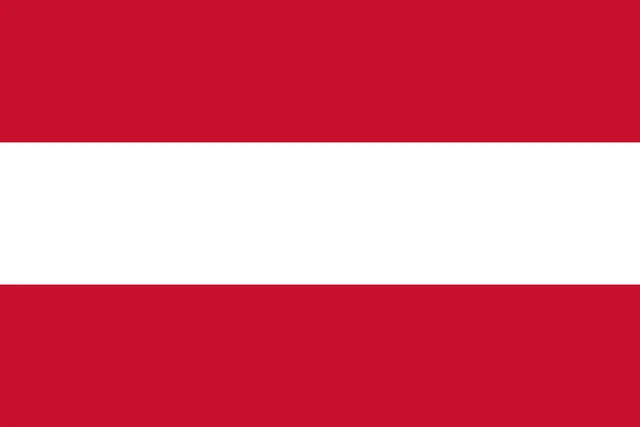
Flag of Austria
The flag of Austria has three equal horizontal bands of red, white and red. The plain version, without any emblem, is the national flag used by citizens. The state flag flown by government offices adds the federal coat of arms in the center: a black eagle with a red-white-red shield on its chest.
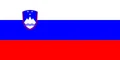
Countries bordering Austria
Frequently asked questions
What countries border Austria?
Austria borders eight countries: Germany, the Czech Republic, Slovakia, Hungary, Slovenia, Italy, Switzerland and Liechtenstein. The longest border is with Germany.
How many states does Austria have?
Austria has 9 states: Burgenland, Carinthia, Lower Austria, Salzburg, Styria, Tyrol, Upper Austria, Vienna and Vorarlberg. Lower Austria is the largest by area, and Vienna has the most people.
Is Austria landlocked?
Yes. Austria has no coastline; the nearest sea is the Adriatic, beyond Italy and Slovenia. Its main waterway is the Danube, which flows east to the Black Sea.
What is the capital of Austria?
The capital of Austria is Vienna.
What language is spoken in Austria?
The official language is German.
Can I print the map of Austria?
Yes. Every map on this page can be downloaded for free as PNG or PDF (US Letter) and printed, including the blank map and the coloring map. Please credit the source (Atlas of Maps, CC BY 4.0).
Use this map
You can download, print and share this map for free, in class, in school projects, in presentations and on websites, as long as you credit the source: Map of Austria · Atlas of Maps (atlasofmaps.com), license CC BY 4.0.
See also: Map of Europe · Map of the European Union · World map