Map of Morocco with regions and capitals
Morocco is a country in northwest Africa with coasts on both the Atlantic Ocean and the Mediterranean Sea. It borders Algeria to the east, Western Sahara to the south and the Spanish cities of Ceuta and Melilla, and faces Spain across the Strait of Gibraltar. The political map shows its 10 regions, the capital, Rabat, and major cities.

- Capital
- Rabat
- Population
- 36.8 million (2024)
- Area
- 446,550 km² (172,414 sq mi)
- Population density
- 82 per km² (214 per sq mi)
- Official languages
- Arabic and Standard Moroccan Tamazight
- Currency
- Moroccan dirham
- Demonym
- Moroccan
- Regions
- 10
- Highest point
- Jbel Toubkal (4,167 m (13,671 ft))
- Calling code
- +212
- Internet domain
- .ma
- Official name
- Kingdom of Morocco
Where is Morocco?
Morocco is a country in northwest Africa with coasts on both the Atlantic Ocean and the Mediterranean Sea. It borders Algeria to the east, Western Sahara to the south and the Spanish cities of Ceuta and Melilla, and faces Spain across the Strait of Gibraltar.
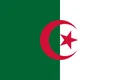
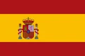
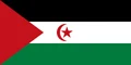
Neighboring countries: Algeria, Spain, Western Sahara.

Regions of Morocco
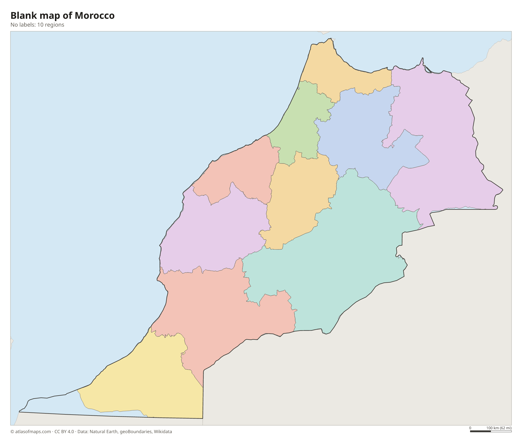
Morocco is officially divided into 12 regions. Two of them, Laâyoune-Sakia El Hamra and Dakhla-Oued Ed-Dahab, extend into Western Sahara, a disputed territory that the map shows separately, so the map shows 10 regions, such as Casablanca-Settat and Marrakech-Safi.
Morocco is divided into 12 regions; two of them (Laâyoune-Sakia El Hamra and Dakhla-Oued Ed-Dahab) extend into Western Sahara, a disputed territory the map shows separately.
| Region | Area |
|---|---|
| Béni Mellal-Khénifra | 27,673 km² (10,685 sq mi) |
| Casablanca-Settat | 20,304 km² (7,839 sq mi) |
| Drâa-Tafilalet | 85,645 km² (33,068 sq mi) |
| Fez-Meknes | 38,875 km² (15,010 sq mi) |
| Guelmim-Oued Noun | 40,788 km² (15,748 sq mi) |
| Marrakech-Safi | 39,023 km² (15,067 sq mi) |
| Oriental | 65,227 km² (25,184 sq mi) |
| Rabat-Salé-Kenitra | 17,604 km² (6,797 sq mi) |
| Souss-Massa | 53,280 km² (20,572 sq mi) |
| Tangier-Tetouan-Al Hoceima | 16,133 km² (6,229 sq mi) |
Blank and coloring maps of Morocco
Blank map of Morocco

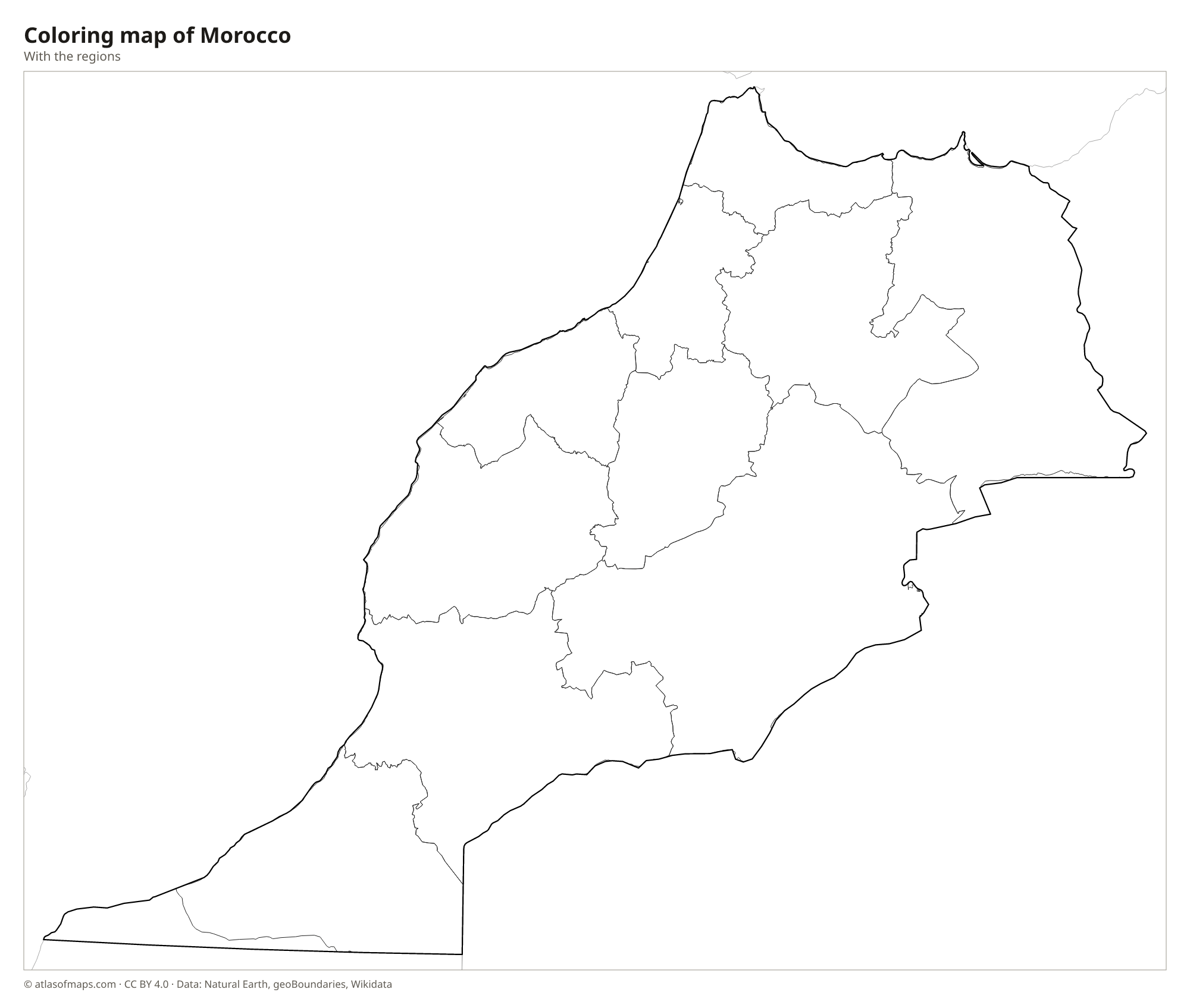
Coloring map of Morocco

Geography of Morocco
Morocco covers 446,550 km² (172,414 sq mi), not counting Western Sahara. The Atlas Mountains run diagonally across the country in three main ranges: the Middle Atlas, the High Atlas and the Anti-Atlas. The High Atlas holds Jbel Toubkal, at 4,167 m (13,671 ft) the highest peak in North Africa. Along the Mediterranean coast in the north rise the Rif Mountains. West of the mountains lie fertile Atlantic plains and plateaus, home to the largest cities, while the southeast opens onto the edge of the Sahara.
Most rivers rise in the Atlas: the Sebou and the Oum Er-Rbia flow to the Atlantic, the Moulouya to the Mediterranean, and the Drâa runs south toward the desert, usually drying up before it reaches the sea. Snow covers the high peaks in winter. The north and west have a Mediterranean climate, cooled on the coast by Atlantic breezes, while the south and east are hot and dry, with oases, palm groves and sand dunes such as Erg Chebbi.
Fun facts
- At the Strait of Gibraltar, Morocco is only about 14 km (9 mi) from Spain.
- Jbel Toubkal is the highest mountain in North Africa, and climbers usually start from the village of Imlil.
- Morocco is one of only a few countries with coastlines on both the Atlantic Ocean and the Mediterranean Sea.
Flag of Morocco
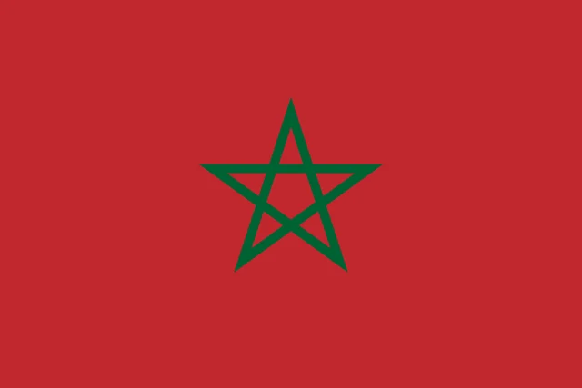
The flag of Morocco is red with a green five-pointed star in the center. The star is drawn as an interlaced outline, its five lines crossing each other to form a pentagram rather than a solid shape. The flag has a 2:3 ratio and no other symbols.
Countries bordering Morocco
Frequently asked questions
What countries border Morocco?
Morocco borders Algeria to the east and Western Sahara, a disputed territory, to the south. It also has land borders with Spain at the Spanish cities of Ceuta and Melilla on the Mediterranean coast.
How many regions does Morocco have?
Morocco has 12 regions. Two of them extend into Western Sahara, which the map shows separately, so 10 regions appear within Morocco on the map.
What is the capital of Morocco?
Rabat, on the Atlantic coast, is the capital. Casablanca, farther south along the same coast, is the largest city and main port.
What language is spoken in Morocco?
The official languages are Arabic and Standard Moroccan Tamazight.
Can I print the map of Morocco?
Yes. Every map on this page can be downloaded for free as PNG or PDF (US Letter) and printed, including the blank map and the coloring map. Please credit the source (Atlas of Maps, CC BY 4.0).
Use this map
You can download, print and share this map for free, in class, in school projects, in presentations and on websites, as long as you credit the source: Map of Morocco · Atlas of Maps (atlasofmaps.com), license CC BY 4.0.
See also: Map of Africa · World map