Map of Western Sahara
Western Sahara is a sparsely populated territory in northwestern Africa, on the Atlantic coast. It borders Morocco to the north, Algeria to the northeast and Mauritania to the east and south; Morocco administers most of it, while the Sahrawi Arab Democratic Republic claims independence.
Disputed territory: Morocco administers most of it, and the Sahrawi Arab Democratic Republic claims independence.

- Capital
- Laayoune
- Population
- 612,000 (2021)
- Area
- 266,000 km² (102,703 sq mi)
- Population density
- 2 per km² (6 per sq mi)
- Official language
- Arabic
- Currency
- Moroccan dirham and Sahrawi peseta
- Calling code
- +212
Where is Western Sahara?
Western Sahara is a sparsely populated territory in northwestern Africa, on the Atlantic coast. It borders Morocco to the north, Algeria to the northeast and Mauritania to the east and south; Morocco administers most of it, while the Sahrawi Arab Democratic Republic claims independence.
Neighboring countries: Algeria, Morocco, Mauritania.

Blank and coloring maps of Western Sahara
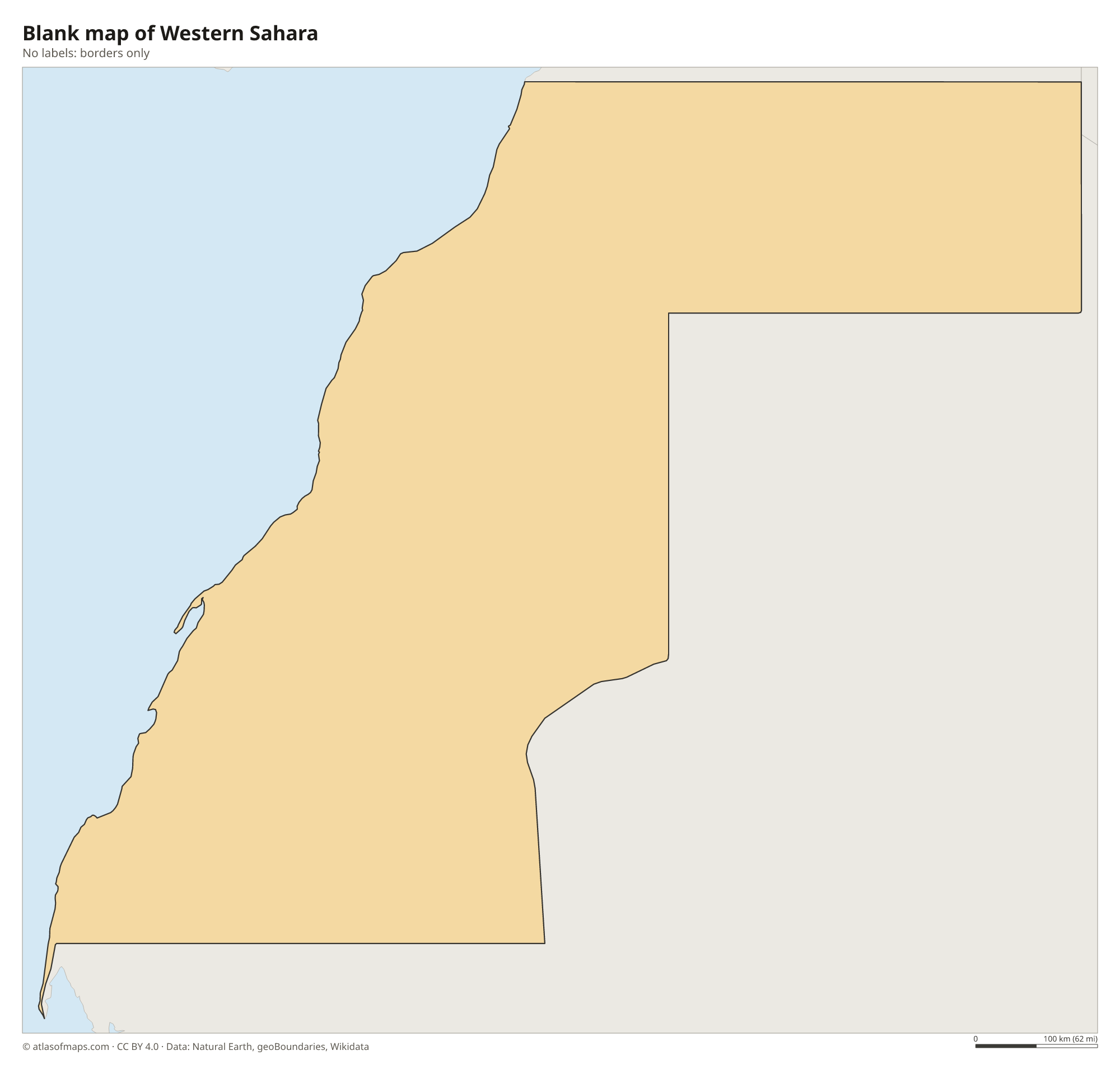
Blank map of Western Sahara

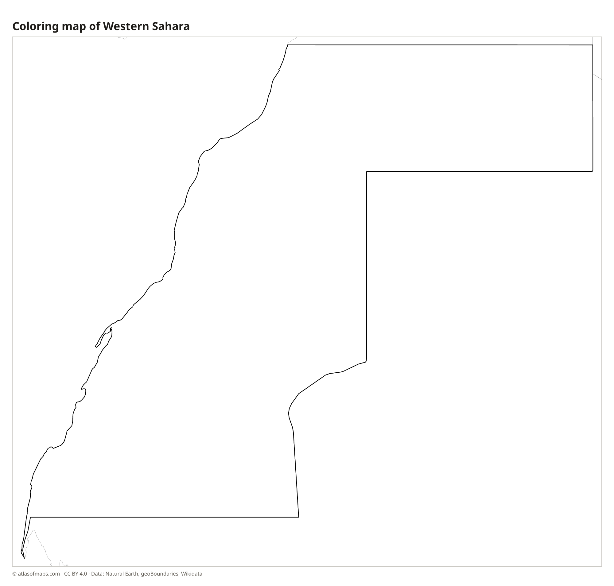
Coloring map of Western Sahara

Geography of Western Sahara
Western Sahara covers about 266,000 km² (102,703 sq mi) of the Sahara Desert. Most of it is flat or gently rolling: stony plains called hamada, gravel plateaus and fields of sand dunes, with a few low, rocky hills and ridges in the east and northeast. There are no high mountains. The northern part was historically called Saguia el-Hamra, after its main dry riverbed, and the southern part Río de Oro. A long sand wall, the Berm, runs through the territory and separates the area administered by Morocco from the area east of it.
The territory has no permanent rivers; wadis carry water only after rare storms. Along the Atlantic, the coast is long and mostly straight, with cliffs and sandy shores, and the Dakhla Peninsula encloses a large bay in the south. The cool Canary Current offshore keeps coastal temperatures mild and brings frequent fog, while the interior is extremely hot and dry, with very little rain. Rich fishing waters lie off the coast, and large phosphate deposits are mined at Bou Craa in the north.
Fun facts
- Western Sahara is one of the most thinly populated territories in the world, with about 612,000 people (2021) on 266,000 km² (102,703 sq mi).
- A conveyor belt nearly 100 km (62 mi) long carries phosphate rock from the Bou Craa mine to the coast near Laayoune.
- Western Sahara was a Spanish colony, known as Spanish Sahara, until Spain withdrew in 1975 and 1976.
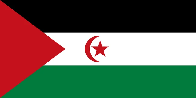
Flag of Western Sahara
The flag shown for Western Sahara is the one used by the Sahrawi Arab Democratic Republic. It has three horizontal stripes of black, white and green, with a red triangle at the hoist. A red crescent and a red five-pointed star sit in the middle of the white stripe.
Countries bordering Western Sahara
Frequently asked questions
Is Western Sahara a country?
Its status is disputed. Morocco administers most of the territory and considers it part of Morocco, while the Sahrawi Arab Democratic Republic, led by the Polisario Front, claims it as an independent state.
What countries border Western Sahara?
Western Sahara borders Morocco to the north, Algeria for a short stretch in the northeast, and Mauritania to the east and south. Its whole western side faces the Atlantic Ocean.
What is the largest city in Western Sahara?
Laayoune, in the north near the Atlantic coast, is the largest city. Dakhla, on its peninsula in the south, is the second main town.
What is the capital of Western Sahara?
The capital of Western Sahara is Laayoune (largest city).
What language is spoken in Western Sahara?
The official language is Arabic.
Can I print the map of Western Sahara?
Yes. Every map on this page can be downloaded for free as PNG or PDF (US Letter) and printed, including the blank map and the coloring map. Please credit the source (Atlas of Maps, CC BY 4.0).
Use this map
You can download, print and share this map for free, in class, in school projects, in presentations and on websites, as long as you credit the source: Map of Western Sahara · Atlas of Maps (atlasofmaps.com), license CC BY 4.0.
See also: Map of Africa · World map