Map of Algeria
Algeria is a country in North Africa, on the Mediterranean coast between Morocco and Tunisia. It also borders Libya to the east, Niger, Mali and Mauritania to the south, and Western Sahara to the southwest. It is the largest country in Africa by area. The political map shows its provinces, the capital, Algiers, and major cities.

- Capital
- Algiers
- Population
- 46.2 million (2023)
- Area
- 2,381,741 km² (919,595 sq mi)
- Population density
- 19 per km² (50 per sq mi)
- Official languages
- Arabic and Standard Algerian Berber
- Currency
- Algerian dinar
- Demonym
- Algerian
- Highest point
- Mount Tahat (2,908 m (9,541 ft))
- Calling code
- +213
- Internet domain
- .dz
- Official name
- People’s Democratic Republic of Algeria
Where is Algeria?
Algeria is a country in North Africa, on the Mediterranean coast between Morocco and Tunisia. It also borders Libya to the east, Niger, Mali and Mauritania to the south, and Western Sahara to the southwest. It is the largest country in Africa by area.
Neighboring countries: Libya, Morocco, Mali, Mauritania, Niger, Western Sahara, Tunisia.

Provinces of Algeria and their capitals
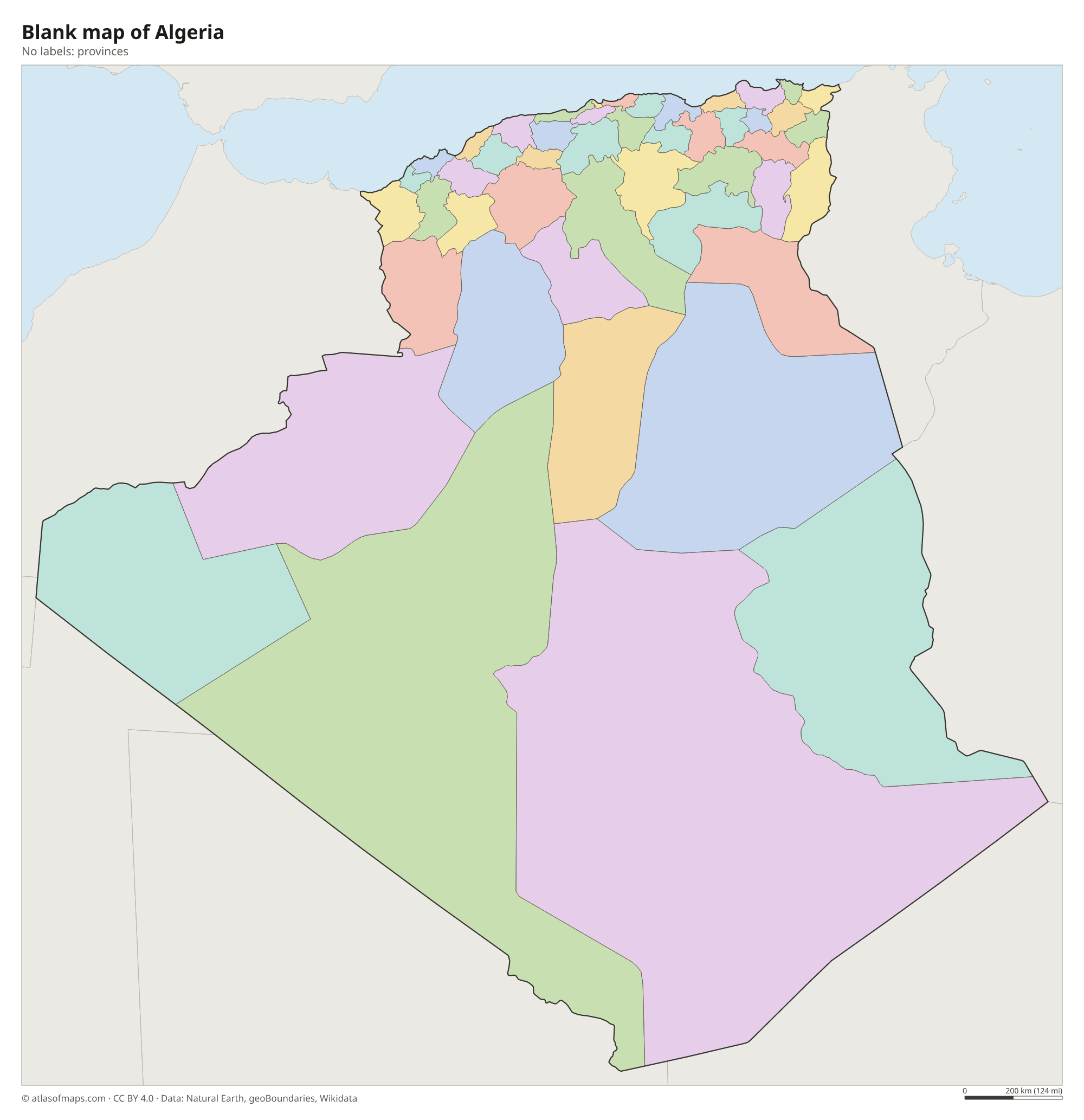
Algeria is divided into provinces called wilayas, each named after its capital city, such as Algiers, Oran and Constantine. The provinces on the map come from Natural Earth data and may not show the newest provinces created in recent reforms.
The divisions on the map come from Natural Earth and may not reflect the latest territorial reform in Algeria.
| Province | Capital | Population | Area |
|---|---|---|---|
| Adrar | Adrar | 399,714 | 497,197 km² (191,969 sq mi) |
| Aïn Defla | Aïn Deflaa | 766,013 | 4,897 km² (1,891 sq mi) |
| Aïn Témouchent | Aïn Témouchent | 371,239 | 2,377 km² (918 sq mi) |
| Algiers | Algiers | 2,988,145 | 1,190 km² (459 sq mi) |
| Annaba | Annaba | 609,499 | 1,439 km² (556 sq mi) |
| Batna | Batna | 940,581 | 8,508 km² (3,285 sq mi) |
| Béchar | Béchar | 270,061 | 161,400 km² (62,317 sq mi) |
| Béjaïa | Béjaïa | 912,577 | 3,268 km² (1,262 sq mi) |
| Biskra | Biskra | 721,356 | 20,986 km² (8,103 sq mi) |
| Blida | Blida | 1,002,937 | 1,479 km² (571 sq mi) |
| Bordj Bou Arréridj | Bordj Bou Arreridj | 628,451 | 4,115 km² (1,589 sq mi) |
| Bouïra | Bouïra | 695,583 | 4,439 km² (1,714 sq mi) |
| Boumerdès | Boumerdès | 802,083 | 1,591 km² (614 sq mi) |
| Chlef | Chlef | 1,002,088 | 4,975 km² (1,921 sq mi) |
| Constantine | Constantine | 938,475 | 2,187 km² (844 sq mi) |
| Djelfa | Djelfa | 1,092,184 | 66,415 km² (25,643 sq mi) |
| El Bayadh | El Bayadh | 228,624 | 78,870 km² (30,452 sq mi) |
| El Oued | El Oued | 647,548 | 54,573 km² (21,071 sq mi) |
| El Tarf | El Taref | 408,414 | 3,339 km² (1,289 sq mi) |
| Ghardaïa | Ghardaia | 363,598 | 86,105 km² (33,245 sq mi) |
| Guelma | Guelma | 482,430 | 4,101 km² (1,583 sq mi) |
| Illizi | Illizi | 52,333 | 285,000 km² (110,039 sq mi) |
| Jijel | Jijel | 636,948 | 2,577 km² (995 sq mi) |
| Khenchela | Khenchela | 386,683 | 9,811 km² (3,788 sq mi) |
| Laghouat | Laghouat | 279,759 | 20,941 km² (8,085 sq mi) |
| M'Sila | M'Sila | 990,591 | 18,718 km² (7,227 sq mi) |
| Mascara | Mascara | 784,073 | 5,941 km² (2,294 sq mi) |
| Médéa | Médéa | 819,932 | 8,866 km² (3,423 sq mi) |
| Mila | Mila | 766,866 | 9,375 km² (3,620 sq mi) |
| Mostaganem | Mostaganem | 737,118 | 2,269 km² (876 sq mi) |
| Naama | Naâma | 192,891 | 29,950 km² (11,564 sq mi) |
| Oran | Oran | 1,454,078 | 2,114 km² (816 sq mi) |
| Ouargla | Ouargla | 558,558 | 211,980 km² (81,846 sq mi) |
| Oum El Bouaghi | Oum El Bouaghi | 621,612 | 6,768 km² (2,613 sq mi) |
| Relizane | Relizane | 726,180 | 4,870 km² (1,880 sq mi) |
| Saïda | Saida | 330,641 | 6,764 km² (2,612 sq mi) |
| Sétif | Sétif | 1,489,979 | 6,504 km² (2,511 sq mi) |
| Sidi Bel Abbès | Sidi Bel Abbès | 604,744 | 9,151 km² (3,533 sq mi) |
| Skikda | Skikda | 898,680 | 4,026 km² (1,554 sq mi) |
| Souk Ahras | Souk Ahras | 438,127 | 4,541 km² (1,753 sq mi) |
| Tamanghasset | Tamanrasset | 176,637 | 556,200 km² (214,750 sq mi) |
| Tébessa | Tébessa | 648,703 | 14,227 km² (5,493 sq mi) |
| Tiaret | Tiaret | 846,823 | 20,673 km² (7,982 sq mi) |
| Tindouf | Tindouf | 49,149 | 159,000 km² (61,390 sq mi) |
| Tipasa | Tipaza | 591,010 | 2,166 km² (836 sq mi) |
| Tissemsilt | Tissemsilt | 294,476 | 3,152 km² (1,217 sq mi) |
| Tizi Ouzou | Tizi-Ouzou | 1,127,607 | 3,568 km² (1,378 sq mi) |
| Tlemcen | Tlemcen | 949,135 | 9,061 km² (3,498 sq mi) |
Population from Wikidata (latest figure available for each province).
Blank and coloring maps of Algeria
Blank map of Algeria

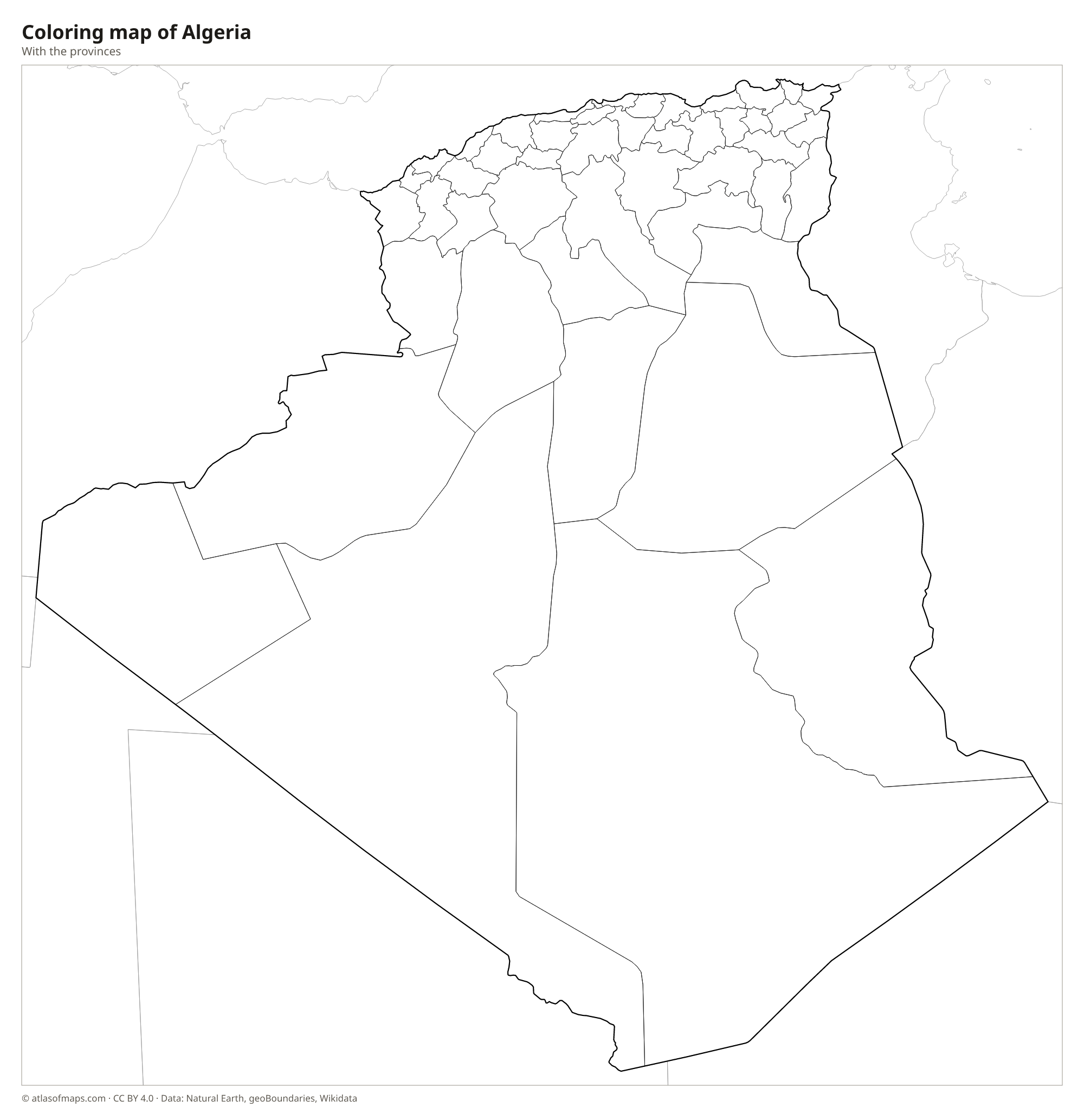
Coloring map of Algeria

Geography of Algeria
Algeria covers 2,381,741 km² (919,595 sq mi), and the Sahara fills more than four-fifths of it. In the north, the Tell Atlas runs parallel to the coast, with fertile valleys and plains between its ridges. South of it lie the High Plateaus, dotted with shallow salt lakes called chotts, and then the Saharan Atlas, the last mountain wall before the desert. Deep in the Sahara, the volcanic Ahaggar (Hoggar) Mountains reach 2,908 m (9,541 ft) at Mount Tahat, the highest point in the country.
Algeria has very few permanent rivers. The Chelif, the longest, rises in the Saharan Atlas and flows north to the Mediterranean, but most other rivers, called wadis, carry water only after rain. The Sahara holds great sand seas such as the Grand Erg Occidental and the Grand Erg Oriental, as well as rocky plateaus like the Tassili n'Ajjer. The coast has a Mediterranean climate with mild, wet winters, while the interior is hot and extremely dry. Most of Algeria's roughly 46.2 million people (2023) live in the narrow northern strip near the coast.
Fun facts
- Algeria became the largest country in Africa in 2011, when South Sudan split from Sudan.
- The Tassili n'Ajjer plateau in the southeast holds thousands of prehistoric rock paintings and engravings and is a UNESCO World Heritage Site.
- Chott Melrhir, a salt lake in the northeast of the Algerian Sahara, lies below sea level and is the lowest point in the country.
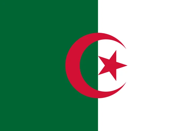
Flag of Algeria
The flag of Algeria is split vertically into two equal halves, green at the hoist and white at the fly. In the center, overlapping both halves, is a red crescent wrapped around a red five-pointed star. The flag is one and a half times as wide as it is tall.
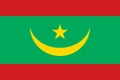
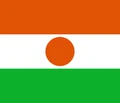
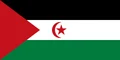
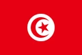
Countries bordering Algeria
Frequently asked questions
What countries border Algeria?
Algeria borders Tunisia and Libya to the east, Niger, Mali and Mauritania to the south, and Morocco and Western Sahara to the west. The status of Western Sahara is disputed between Morocco and the Polisario Front.
Is Algeria the largest country in Africa?
Yes. With 2,381,741 km² (919,595 sq mi), Algeria has been the largest country in Africa since Sudan split in 2011. It is also the largest country on the Mediterranean Sea.
What is the capital of Algeria?
The capital is Algiers, a port on the Mediterranean coast in the north of the country. It is also Algeria's largest city and gave the country its name.
What language is spoken in Algeria?
The official languages are Arabic and Standard Algerian Berber.
Can I print the map of Algeria?
Yes. Every map on this page can be downloaded for free as PNG or PDF (US Letter) and printed, including the blank map and the coloring map. Please credit the source (Atlas of Maps, CC BY 4.0).
Use this map
You can download, print and share this map for free, in class, in school projects, in presentations and on websites, as long as you credit the source: Map of Algeria · Atlas of Maps (atlasofmaps.com), license CC BY 4.0.
See also: Map of Africa · World map