Map of Oman with regions and capitals
Oman is a country in the Middle East, on the southeastern corner of the Arabian Peninsula. It borders the United Arab Emirates, Saudi Arabia and Yemen, and faces the Arabian Sea and the Gulf of Oman. The political map shows its 11 regions, the capital, Muscat, and major cities.

- Capital
- Muscat
- Population
- 4.8 million (2018)
- Area
- 309,500 km² (119,499 sq mi)
- Population density
- 16 per km² (40 per sq mi)
- Official language
- Arabic
- Currency
- Omani rial
- Demonym
- Omani
- Regions
- 11
- Highest point
- Jebel Shams (3,018 m (9,902 ft))
- Calling code
- +968
- Internet domain
- .om
Where is Oman?
Oman is a country in the Middle East, on the southeastern corner of the Arabian Peninsula. It borders the United Arab Emirates, Saudi Arabia and Yemen, and faces the Arabian Sea and the Gulf of Oman.
Neighboring countries: United Arab Emirates, Saudi Arabia, Yemen.

Regions of Oman and their capitals
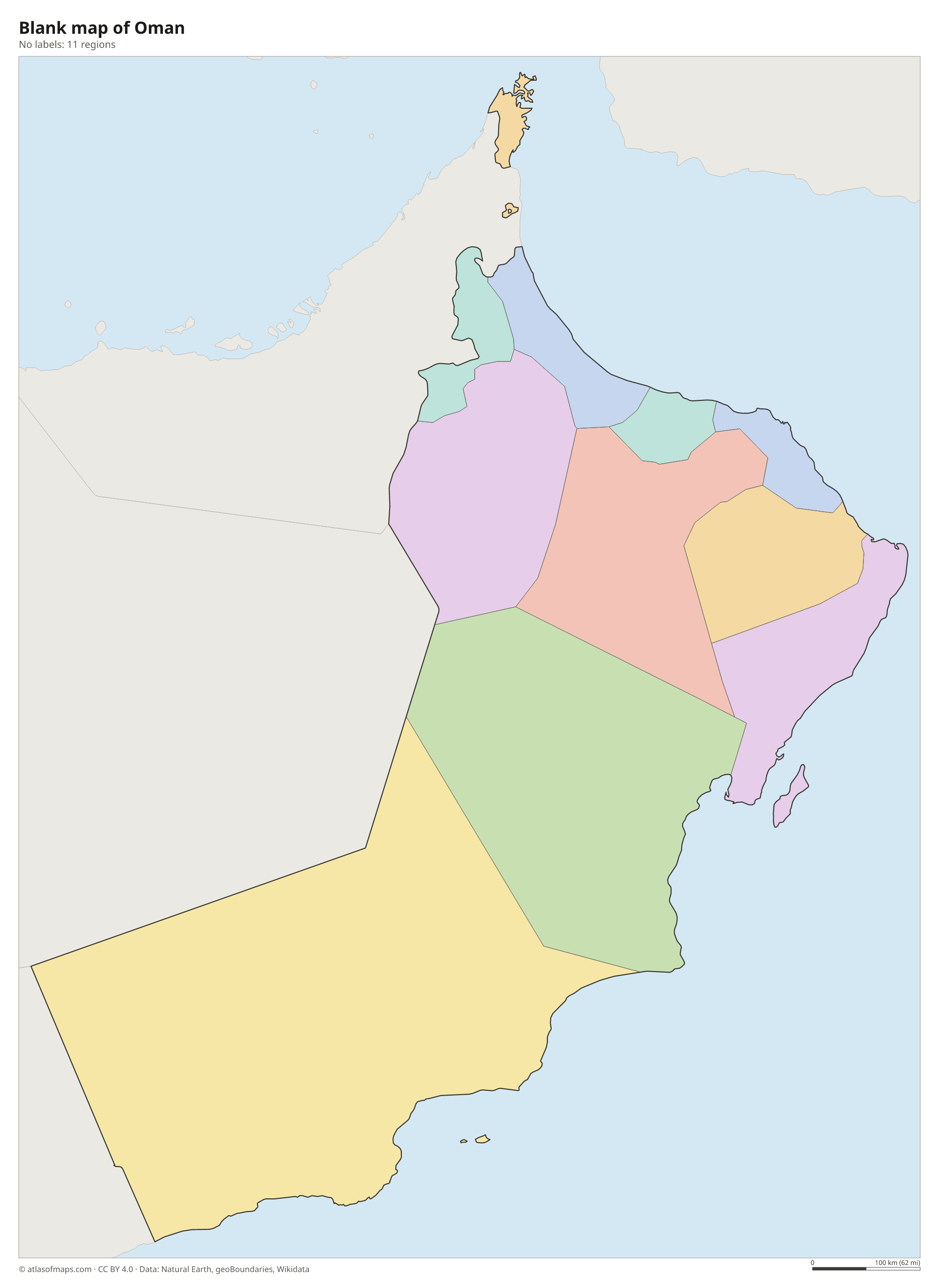
Oman is divided into 11 governorates, the units on the map, such as Muscat, Dhofar and Musandam. Musandam, at the tip of the Strait of Hormuz, is separated from the rest of the country by the United Arab Emirates, as is the tiny exclave of Madha.
| Region | Capital | Population | Area |
|---|---|---|---|
| Ad Dakhiliyah | Nizwa | 478,501 | 31,900 km² (12,317 sq mi) |
| Ad Dhahirah | Ibri | 213,043 | 37,000 km² (14,286 sq mi) |
| Al Batinah North | — | — | — |
| Al Batinah South | Rustaq | 465,550 | 5,320 km² (2,054 sq mi) |
| Al Buraimi | — | 121,802 | 7,460 km² (2,880 sq mi) |
| Al Wusta | Haima | 52,344 | 79,700 km² (30,772 sq mi) |
| Ash Sharqiyah | Sur | — | 36,800 km² (14,209 sq mi) |
| Ash Sharqiyah North | Ibra | 271,822 | 21,100 km² (8,147 sq mi) |
| Dhofar | Salalah | 416,458 | 99,300 km² (38,340 sq mi) |
| Musandam | Khasab | 49,062 | 1,800 km² (695 sq mi) |
| Muscat | Muscat | 1,302,440 | 3,500 km² (1,351 sq mi) |
Population from Wikidata (latest figure available for each region).
Blank and coloring maps of Oman
Blank map of Oman

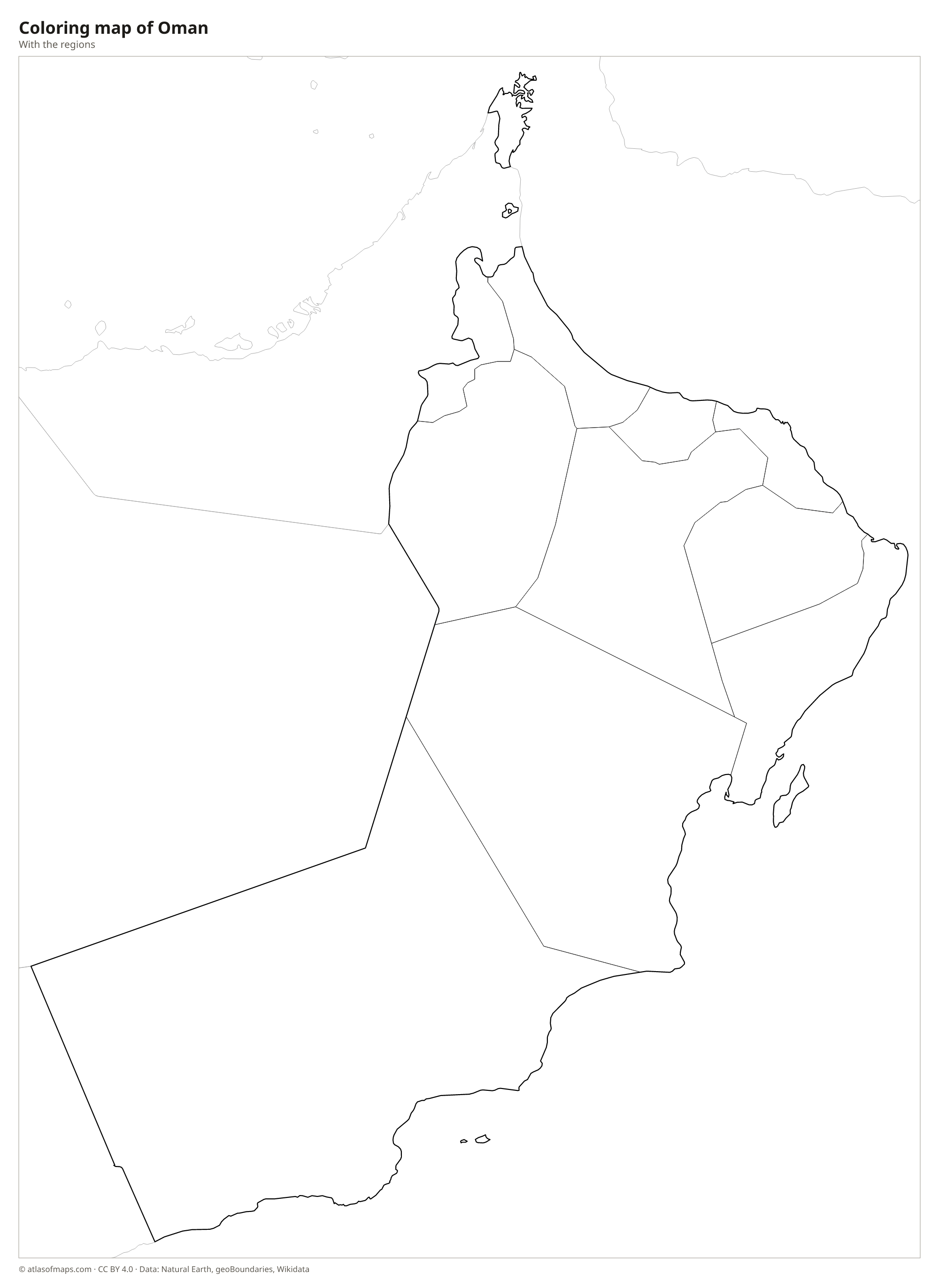
Coloring map of Oman

Geography of Oman
Oman covers 309,500 km² (119,499 sq mi). In the north, the Al Hajar Mountains arc along the coast of the Gulf of Oman; their highest peak, Jebel Shams, reaches 3,018 m (9,902 ft), and the gorge of Wadi Ghul below it is called the Grand Canyon of Arabia. Between the mountains and the sea lies the fertile Al Batinah coastal plain. Inland, gravel plains and the Wahiba (Sharqiya) Sands give way in the west to the edge of the Rub' al Khali, or Empty Quarter.
Oman has no permanent rivers. Dry valleys called wadis fill after rare storms, and ancient channels called aflaj still carry water to villages and palm groves. In the south, the Dhofar region around Salalah turns green each summer during the khareef, a season of monsoon mist and drizzle. The Musandam Peninsula, an exclave separated from the rest of Oman by the United Arab Emirates, overlooks the Strait of Hormuz with fjord-like inlets. Elsewhere the climate is hot and dry.
Fun facts
- Oman's ancient aflaj irrigation channels, some of them centuries old, are a UNESCO World Heritage Site.
- Frankincense trees grow in Dhofar, and the old frankincense trade made the region famous.
- Ras al Hadd, near the easternmost point of the Arabian Peninsula, is a major nesting site for green sea turtles.
Flag of Oman
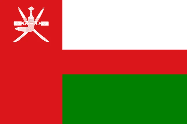
The flag of Oman has three horizontal bands of white, red and green, joined at the hoist by a vertical red band. In the upper corner of the red band is the national emblem in white: a curved khanjar dagger in its sheath, set over two crossed swords and a belt. The flag has a 2:3 ratio.
Countries bordering Oman
Frequently asked questions
What countries border Oman?
Oman borders three countries: the United Arab Emirates to the northwest, Saudi Arabia to the west and Yemen to the southwest. Its long coast faces the Gulf of Oman and the Arabian Sea.
How many governorates does Oman have?
Oman has 11 governorates: Ad Dakhiliyah, Ad Dhahirah, Al Batinah North, Al Batinah South, Al Buraimi, Al Wusta, Ash Sharqiyah North, Ash Sharqiyah South, Dhofar, Musandam and Muscat.
What is the capital of Oman?
Muscat, on the coast of the Gulf of Oman, is the capital and largest city. It stretches along a narrow strip between the sea and the rocky Al Hajar Mountains.
How many regions does Oman have?
Oman is divided into 11 regions: Ad Dakhiliyah, Ad Dhahirah, Al Batinah North, Al Batinah South, Al Buraimi, Al Wusta, Ash Sharqiyah, Ash Sharqiyah North, Dhofar, Musandam, and Muscat.
What language is spoken in Oman?
The official language is Arabic.
Can I print the map of Oman?
Yes. Every map on this page can be downloaded for free as PNG or PDF (US Letter) and printed, including the blank map and the coloring map. Please credit the source (Atlas of Maps, CC BY 4.0).
Use this map
You can download, print and share this map for free, in class, in school projects, in presentations and on websites, as long as you credit the source: Map of Oman · Atlas of Maps (atlasofmaps.com), license CC BY 4.0.
See also: Map of Asia · Map of the Middle East · World map