Map of Yemen
Yemen is a country in the Middle East, at the southern end of the Arabian Peninsula. It borders Saudi Arabia to the north and Oman to the east, and its coasts face the Red Sea, the Gulf of Aden and the Arabian Sea. The political map shows its regions, the capital, Sanaa and Aden, and major cities.

- Capital
- Sanaa and Aden
- Population
- 28.3 million (2017)
- Area
- 455,503 km² (175,871 sq mi)
- Population density
- 62 per km² (161 per sq mi)
- Official language
- Arabic
- Currency
- Yemeni Rial
- Demonym
- Yemeni
- Highest point
- Jabal an Nabi Shu'ayb (3,666 m (12,028 ft))
- Calling code
- +967
- Internet domain
- .ye
Where is Yemen?
Yemen is a country in the Middle East, at the southern end of the Arabian Peninsula. It borders Saudi Arabia to the north and Oman to the east, and its coasts face the Red Sea, the Gulf of Aden and the Arabian Sea.
Neighboring countries: Oman, Saudi Arabia.

Regions of Yemen and their capitals
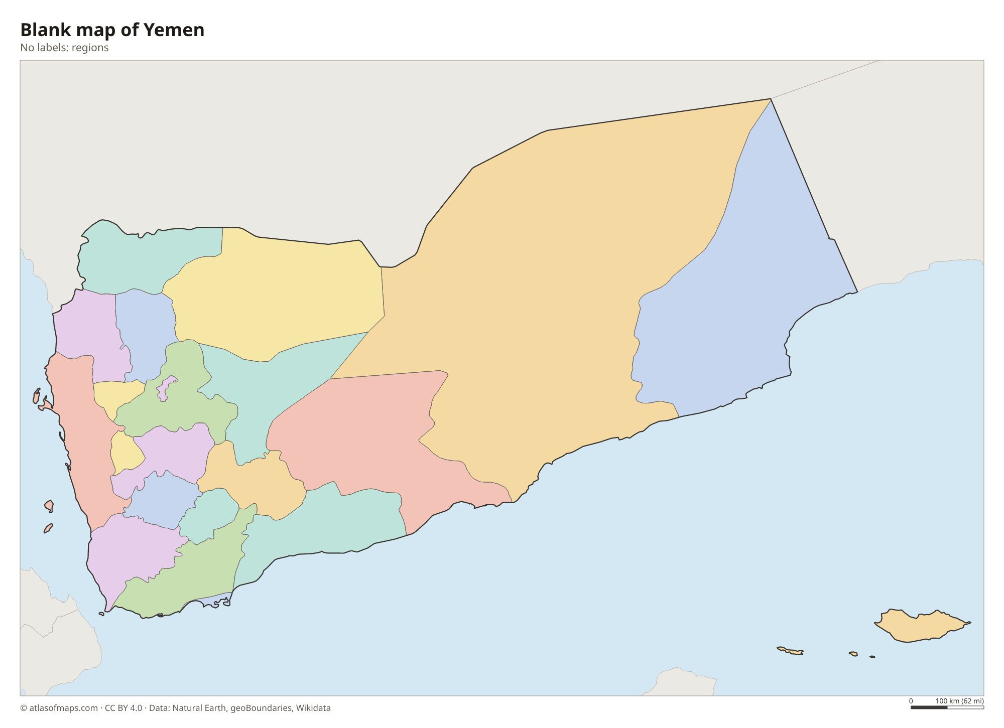
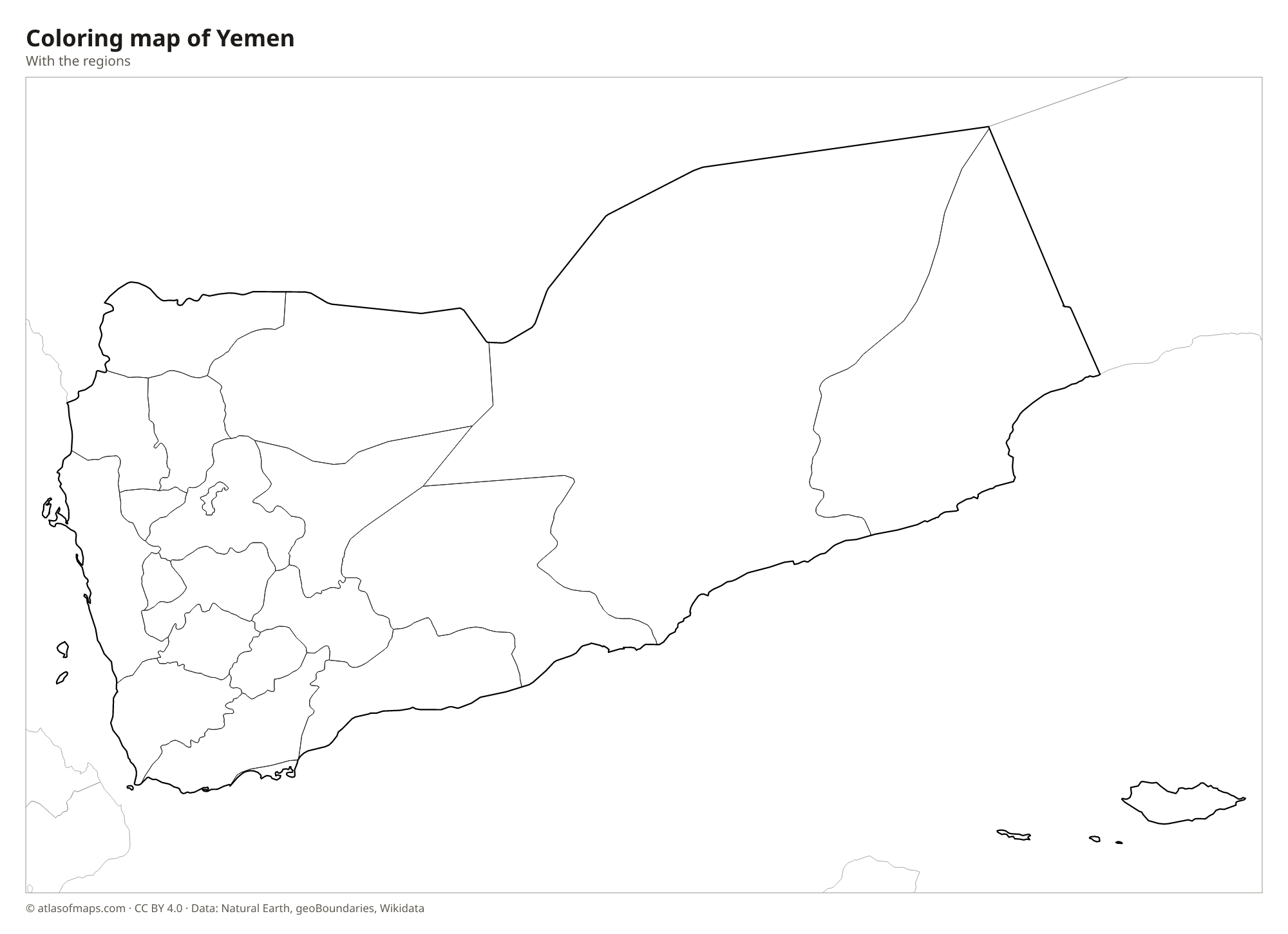
Yemen is divided into governorates, along with the capital city of Sanaa. Socotra, far out in the Arabian Sea, also belongs to Yemen. The map uses Natural Earth boundaries, which may not reflect the latest changes.
The divisions on the map come from Natural Earth and may not reflect the latest territorial reform in Yemen.
| Region | Capital | Population | Area |
|---|---|---|---|
| 'Adan | Aden | 835,000 | 1,114 km² (430 sq mi) |
| 'Amran | ʿAmrān | 967,634 | 9,587 km² (3,702 sq mi) |
| Abyan | Zinjibar | 764,342 | 21,939 km² (8,471 sq mi) |
| Ad Dali' | Ad Dali' | 597,936 | 4,786 km² (1,848 sq mi) |
| Al Bayda' | Al Bayda' | 660,105 | 11,193 km² (4,322 sq mi) |
| Al Hudaydah | Al Hudaydah | 2,687,674 | 17,509 km² (6,760 sq mi) |
| Al Jawf | Al Hazm | 534,408 | 30,620 km² (11,822 sq mi) |
| Al Mahrah | Al Ghaydah | 122,453 | 82,405 km² (31,817 sq mi) |
| Al Mahwit | Al Mahwit | 599,340 | 2,858 km² (1,103 sq mi) |
| Amanat Al Asimah | — | 2,957,000 | 3,450 km² (1,332 sq mi) |
| Dhamar | Sanaa | 1,645,436 | 9,495 km² (3,666 sq mi) |
| Hadhramaut | Mukalla | 1,255,000 | 193,032 km² (74,530 sq mi) |
| Hajjah | Hajjah | 1,811,394 | 8,228 km² (3,177 sq mi) |
| Ibb | Ibb | 2,505,816 | 6,484 km² (2,503 sq mi) |
| Lahij | Lahij | 865,791 | 15,210 km² (5,873 sq mi) |
| Ma'rib | Marib | 291,403 | 20,023 km² (7,731 sq mi) |
| Raymah | Al-Jaby | 483,196 | 2,442 km² (943 sq mi) |
| Sa'dah | — | — | — |
| Sana'a | — | 2,957,000 | 3,450 km² (1,332 sq mi) |
| Shabwah | Ataq | 546,467 | 47,728 km² (18,428 sq mi) |
| Ta'izz | Ta'izz | 2,393,425 | 12,605 km² (4,867 sq mi) |
Population from Wikidata (latest figure available for each region).
Blank and coloring maps of Yemen
Blank map of Yemen

Coloring map of Yemen

Geography of Yemen
Yemen covers about 455,503 km² (175,871 sq mi). A narrow, hot coastal plain called the Tihamah runs along the Red Sea. Behind it, steep mountains rise to a high plateau in the west, where Jabal an Nabi Shu'ayb, near Sanaa, reaches 3,666 m (12,028 ft), the highest point on the Arabian Peninsula. To the east, the land descends to dry plateaus cut by the long valley of Wadi Hadhramaut, and in the north it gives way to the sands of the Rub' al Khali, the Empty Quarter.
Yemen has no permanent rivers, but its wadis can flood after heavy rain. The western highlands catch summer monsoon rains, which have allowed farmers to grow crops on terraced hillsides for centuries, while the east and the coasts are hot and dry. At the southwestern corner, the narrow Bab el-Mandeb strait separates Yemen from Africa. Out in the Arabian Sea lies the Socotra archipelago, known for plants found nowhere else, such as the dragon's blood tree. Other islands include Kamaran and Perim in the Red Sea.
Fun facts
- The walled town of Shibam in Wadi Hadhramaut has mud-brick tower houses many stories high and is often called the Manhattan of the desert.
- More than a third of the plant species on Socotra are found nowhere else on Earth.
- The old city of Sanaa, with its decorated tower houses, is a UNESCO World Heritage Site.
Flag of Yemen
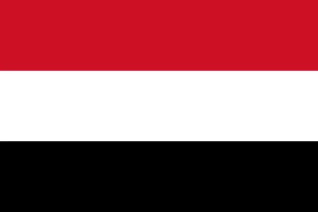
The flag of Yemen has three equal horizontal stripes: red at the top, white in the middle and black at the bottom. It carries no stars, emblem or writing, so it looks like the flags of Egypt and Iraq without their central symbols.
Countries bordering Yemen
Frequently asked questions
What countries border Yemen?
Yemen borders two countries: Saudi Arabia to the north and Oman to the east. Across the narrow Bab el-Mandeb strait lie Djibouti and Eritrea in Africa.
What is the capital of Yemen?
Sanaa is Yemen's official capital, high in the western mountains. During the civil war, the internationally recognized government has been based in the southern port city of Aden.
Is Socotra part of Yemen?
Yes. Socotra is an archipelago in the Arabian Sea that belongs to Yemen, although it lies closer to the Horn of Africa than to the Arabian mainland.
What language is spoken in Yemen?
The official language is Arabic.
Can I print the map of Yemen?
Yes. Every map on this page can be downloaded for free as PNG or PDF (US Letter) and printed, including the blank map and the coloring map. Please credit the source (Atlas of Maps, CC BY 4.0).
Use this map
You can download, print and share this map for free, in class, in school projects, in presentations and on websites, as long as you credit the source: Map of Yemen · Atlas of Maps (atlasofmaps.com), license CC BY 4.0.
See also: Map of Asia · Map of the Middle East · World map