Map of Palestine with regions and capitals
Palestine is in the Middle East, in western Asia, and consists of two separate areas: the West Bank, bordered by Israel and Jordan, and the Gaza Strip on the Mediterranean Sea, bordered by Israel and Egypt. The political map shows its 2 regions, the capital, Ramallah, and major cities.
Recognized as a state by most UN members; the maps show the West Bank and the Gaza Strip.

- Capital
- Ramallah
- Population
- 4.7 million (2019)
- Area
- 6,079 km² (2,347 sq mi)
- Population density
- 771 per km² (1,996 per sq mi)
- Demonym
- Palestinian
- Regions
- 2
Where is Palestine?
Palestine is in the Middle East, in western Asia, and consists of two separate areas: the West Bank, bordered by Israel and Jordan, and the Gaza Strip on the Mediterranean Sea, bordered by Israel and Egypt.

Regions of Palestine and their capitals
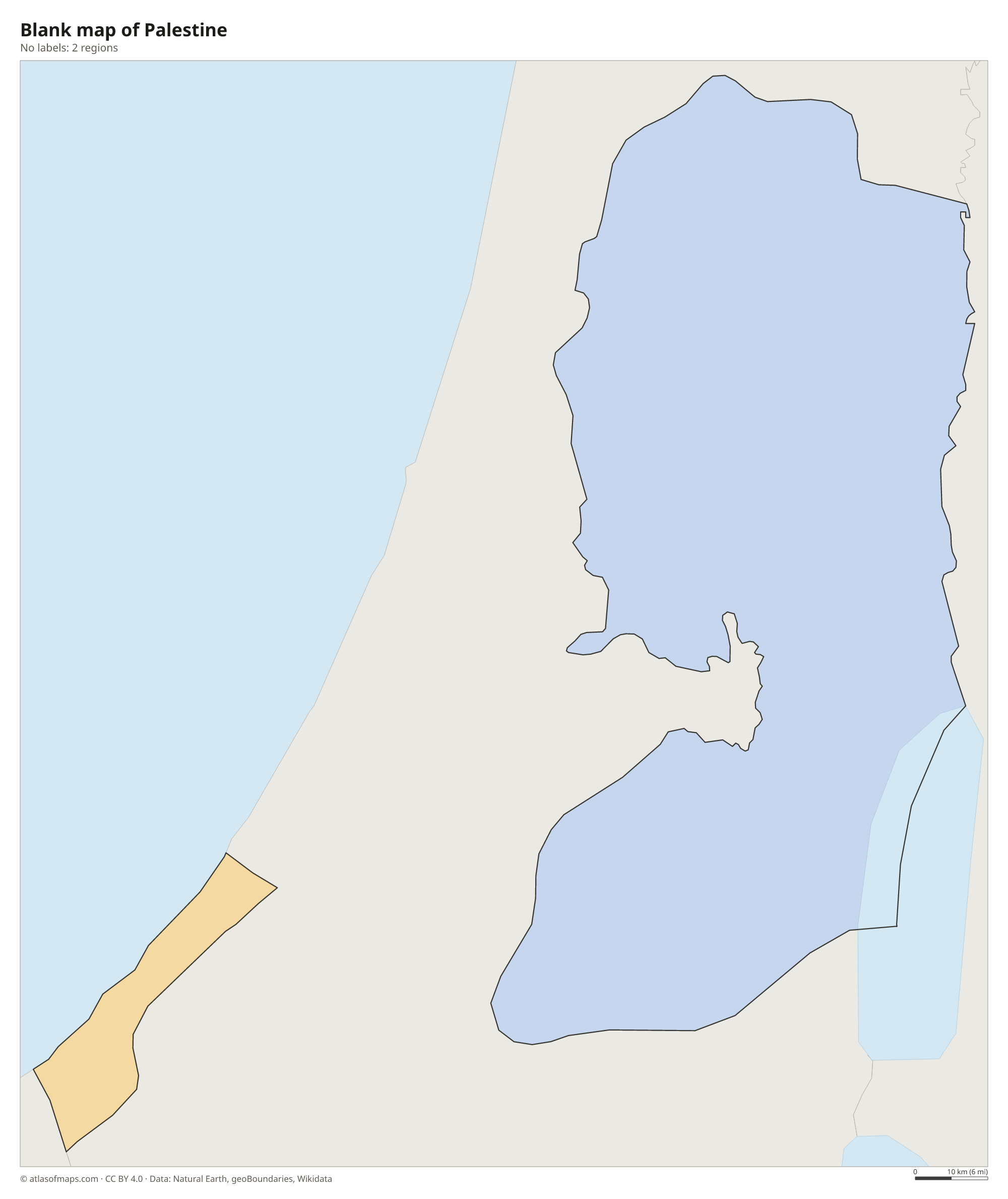
The map shows Palestine as 2 parts: the West Bank, the larger one, and the Gaza Strip, separated from each other by Israeli territory. Each part is further divided into governorates. Their final borders are part of the unresolved Israeli-Palestinian conflict.
| Region | Capital | Population | Area |
|---|---|---|---|
| Gaza | Gaza City | 524,001 | 70 km² (27 sq mi) |
| West Bank | — | — | — |
Population from Wikidata (latest figure available for each region).
Blank and coloring maps of Palestine
Blank map of Palestine

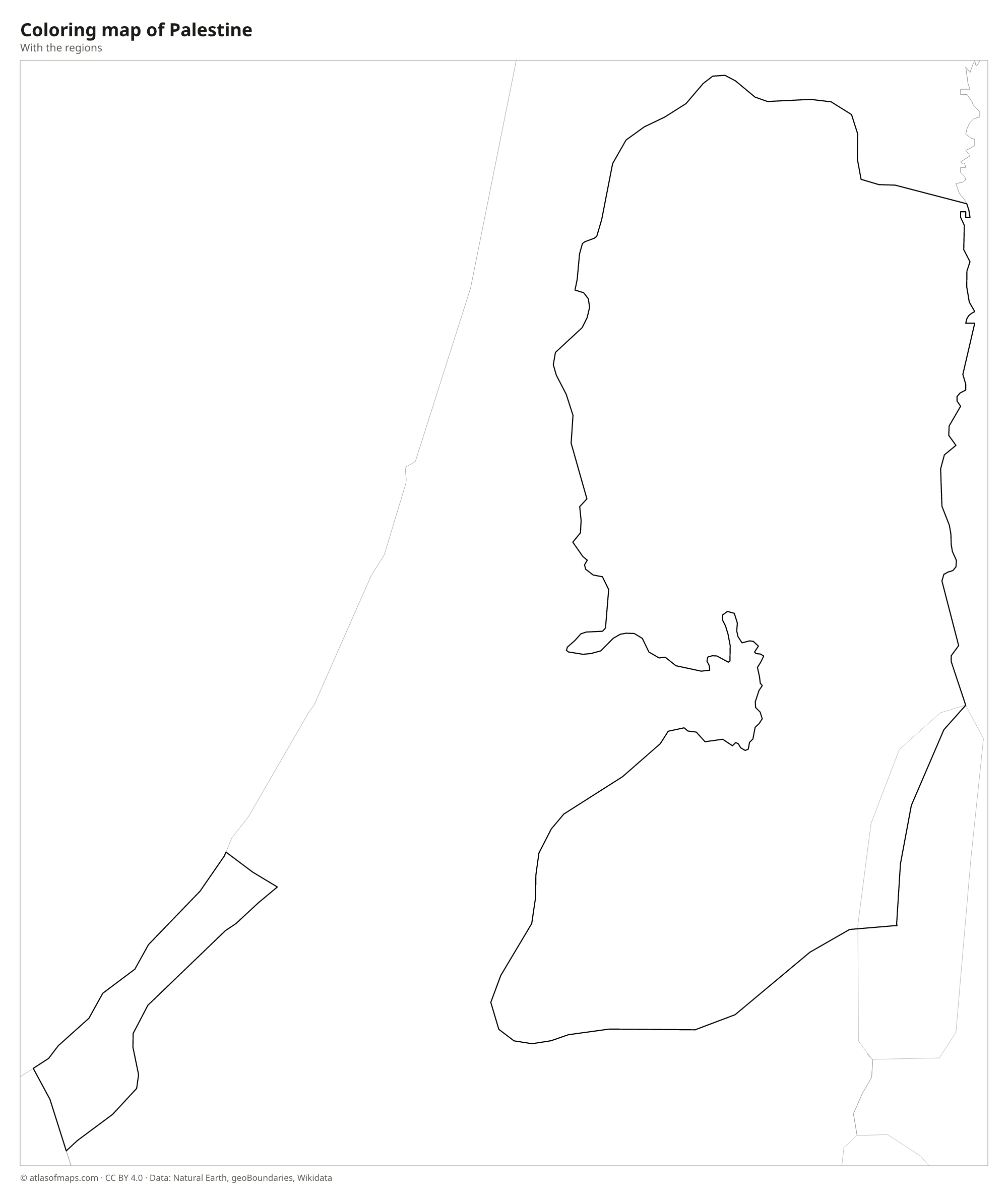
Coloring map of Palestine

Geography of Palestine
The West Bank is mostly hilly. A spine of limestone highlands, including the hills around Nablus, Ramallah, Bethlehem and Hebron, runs from north to south through its center, with terraced olive groves on many slopes. To the east the land drops steeply through a dry desert to the Jordan Valley and the shore of the Dead Sea, the lowest land surface on Earth. The Gaza Strip, by contrast, is a narrow, flat coastal plain of sand dunes, farmland and towns, about 40 km (25 mi) long, and one of the most densely populated places in the world.
Water is scarce in both areas. The Jordan River runs along the eastern edge of the West Bank before flowing into the Dead Sea, a salt lake whose level has been falling for decades. Gaza has no permanent rivers, only Wadi Gaza, a seasonal stream, and depends largely on groundwater from a coastal aquifer. The climate is Mediterranean, with hot, dry summers and mild, wet winters. The highlands receive the most rain and can see snow in some winters, while the Jordan Valley around Jericho stays hot and dry for most of the year.
Fun facts
- Jericho, in the Jordan Valley, is often described as one of the oldest continuously inhabited cities in the world.
- The Gaza Strip is only about 6 to 12 km (4 to 7 mi) wide.
- Palestine is recognized as a state by most members of the United Nations and holds observer-state status at the UN.
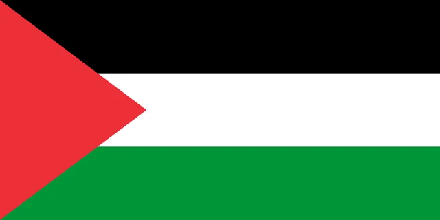
Flag of Palestine
The flag of Palestine has three equal horizontal stripes of black, white and green, from top to bottom, and a red triangle at the hoist. The triangle's base runs along the full height of the hoist edge, and its point reaches toward the center of the flag. There is no emblem, star or text.
Countries bordering Palestine
Frequently asked questions
What countries border Palestine?
The West Bank borders Israel and Jordan, with the Jordan River and the Dead Sea along the Jordanian side. The Gaza Strip borders Israel and Egypt and has a coast on the Mediterranean Sea.
What is the capital of Palestine?
Ramallah in the West Bank serves as the administrative seat of the Palestinian government. Palestine claims East Jerusalem as its capital, a claim that is disputed with Israel.
What are the two parts of Palestine?
Palestine consists of 2 separate areas: the West Bank, a landlocked area west of the Jordan River, and the Gaza Strip, a small strip of land on the Mediterranean coast. Israeli territory lies between them.
How many regions does Palestine have?
Palestine is divided into 2 regions: Gaza and West Bank.
Can I print the map of Palestine?
Yes. Every map on this page can be downloaded for free as PNG or PDF (US Letter) and printed, including the blank map and the coloring map. Please credit the source (Atlas of Maps, CC BY 4.0).
Use this map
You can download, print and share this map for free, in class, in school projects, in presentations and on websites, as long as you credit the source: Map of Palestine · Atlas of Maps (atlasofmaps.com), license CC BY 4.0.
See also: Map of Asia · Map of the Middle East · World map