Map of Jordan with governorates and capitals
Jordan is a country in Western Asia, in the Middle East. It borders Syria to the north, Iraq to the northeast, Saudi Arabia to the east and south, and Israel and the West Bank to the west, with a short coastline on the Gulf of Aqaba. The political map shows its 12 governorates, the capital, Amman, and major cities.

- Capital
- Amman
- Population
- 10.4 million (2019)
- Area
- 89,341 km² (34,495 sq mi)
- Population density
- 117 per km² (302 per sq mi)
- Official language
- Arabic
- Currency
- Jordanian dinar
- Demonym
- Jordanian
- Governorates
- 12
- Highest point
- Jabal Umm ad Dami (1,854 m (6,083 ft))
- Calling code
- +962
- Internet domain
- .jo
Where is Jordan?
Jordan is a country in Western Asia, in the Middle East. It borders Syria to the north, Iraq to the northeast, Saudi Arabia to the east and south, and Israel and the West Bank to the west, with a short coastline on the Gulf of Aqaba.
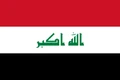
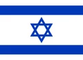
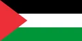
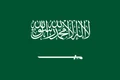
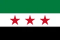
Neighboring countries: Iraq, Israel, Palestine, Saudi Arabia, Syria.

Governorates of Jordan and their capitals
Jordan is divided into 12 governorates, such as Amman, Irbid, Zarqa and Aqaba, the only one on the coast. Ma'an in the south is the largest by area and includes the ancient city of Petra.
| Governorate | Capital | Population | Area |
|---|---|---|---|
| Ajloun | Ajloun | 181,000 | 420 km² (162 sq mi) |
| Amman | Amman | 4,007,526 | 7,579 km² (2,926 sq mi) |
| Aqaba | Aqaba | — | 6,900 km² (2,664 sq mi) |
| Balqa | Salt | 491,709 | 1,120 km² (432 sq mi) |
| Irbid | Irbid | — | 1,572 km² (607 sq mi) |
| Jerash | Jerash | 237,059 | 410 km² (158 sq mi) |
| Karak | Al-Karak | 316,629 | 3,217 km² (1,242 sq mi) |
| Ma'an | Ma'an | 175,200 | 33,832 km² (13,063 sq mi) |
| Madaba | Madaba | 189,192 | 940 km² (363 sq mi) |
| Mafraq | Mafraq | 549,948 | 26,551 km² (10,251 sq mi) |
| Tafilah | Tafilah | 10,000 | 2,114 km² (816 sq mi) |
| Zarqa | Zarqa | — | 4,761 km² (1,838 sq mi) |
Population from Wikidata (latest figure available for each governorate).
Blank and coloring maps of Jordan
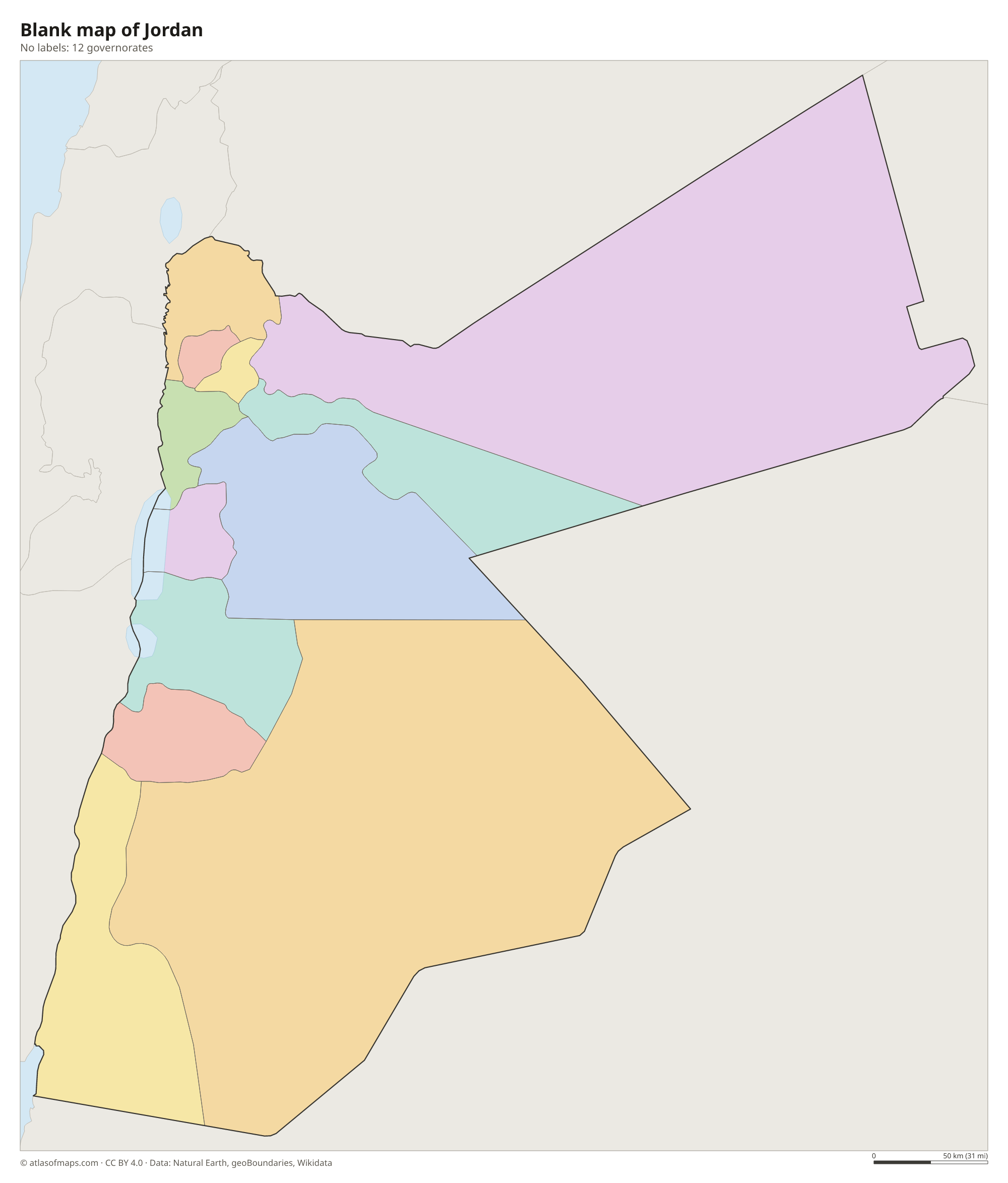
Blank map of Jordan

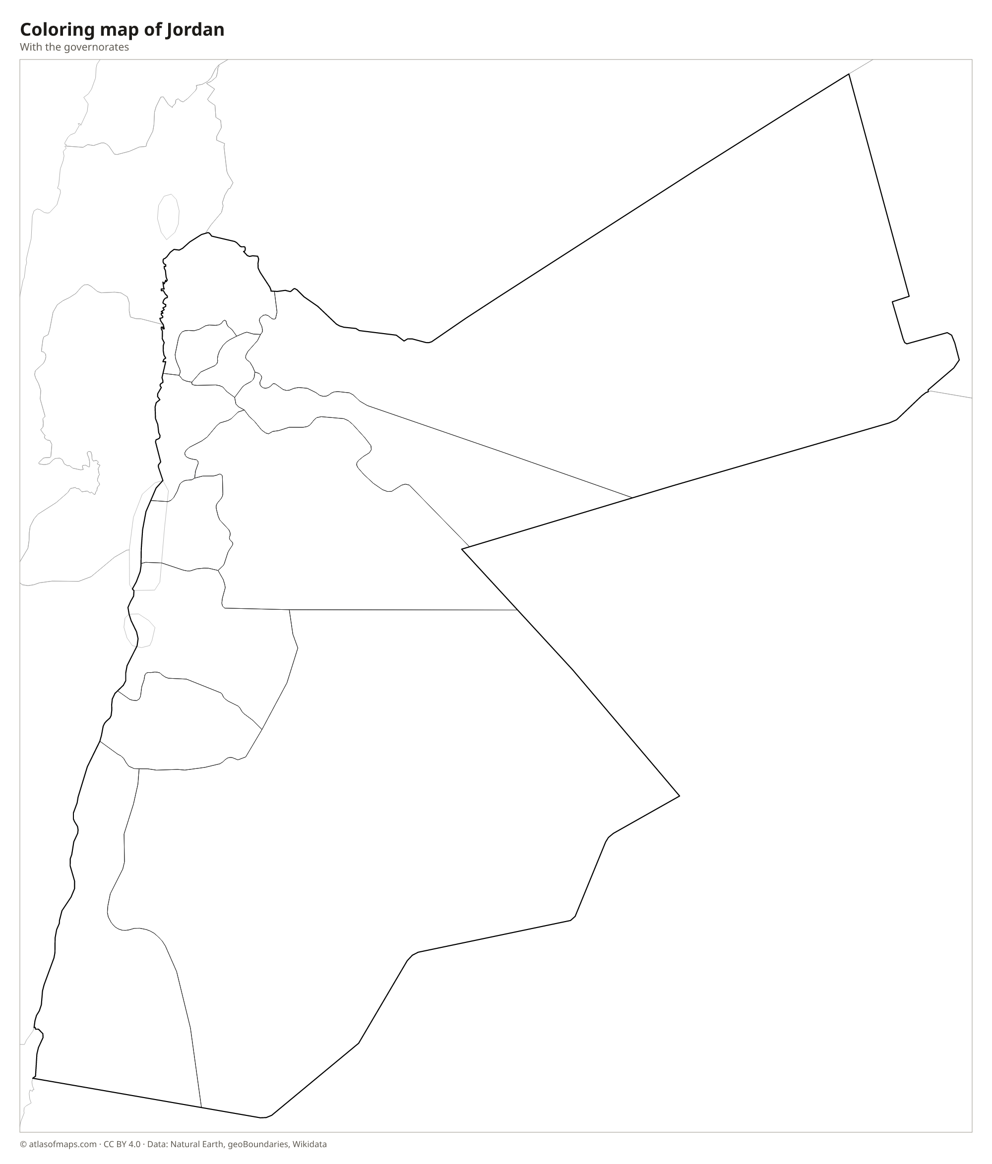
Coloring map of Jordan

Geography of Jordan
Jordan covers 89,341 km² (34,495 sq mi), and most of it is desert. Along the western edge runs the Jordan Rift Valley, which holds the Jordan River, the Dead Sea and the dry Wadi Araba valley leading south to Aqaba. East of the rift rise highlands with the main cities, including Amman, Irbid and Karak. In the far south, near Wadi Rum and the Saudi border, the land rises to Jabal Umm ad Dami, the highest point at 1,854 m (6,083 ft). The eastern plateau, known as the badia, is a huge stony and sandy desert.
Water is scarce. The Jordan River and its tributary the Yarmouk, along the Syrian border, are the main rivers, and much of their water is used before it reaches the Dead Sea, whose level has been falling for decades. The Dead Sea shore is the lowest land on Earth. In the eastern desert lies the Azraq oasis. The climate is Mediterranean in the northwestern highlands, with rainy winters and occasional snow in Amman, while the rest of the country is hot and dry.
Fun facts
- Petra, a city carved into rose-red sandstone cliffs by the Nabataeans, is a UNESCO World Heritage Site.
- Aqaba is Jordan's only seaport.
- The red desert of Wadi Rum has been used as a filming location for movies set on Mars.
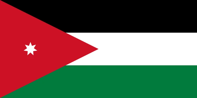
Flag of Jordan
Jordan's flag has three equal horizontal stripes, black on top, white in the middle and green at the bottom. A red triangle extends from the pole side toward the center, and on it sits a small white seven-pointed star. The flag has a 1:2 ratio.
Countries bordering Jordan
Frequently asked questions
What countries border Jordan?
Jordan borders Syria to the north, Iraq to the northeast, Saudi Arabia to the east and south, and Israel and the West Bank to the west.
How many governorates does Jordan have?
Jordan has 12 governorates. Amman Governorate contains the capital, Amman, and has the most people, while Ma'an in the south is the largest by area.
Does Jordan have a coastline?
Yes, but a very short one. Jordan touches the Gulf of Aqaba, an arm of the Red Sea, at the port city of Aqaba. It also borders the Dead Sea, which is a salt lake rather than part of the ocean.
What is the capital of Jordan?
The capital of Jordan is Amman.
What language is spoken in Jordan?
The official language is Arabic.
Can I print the map of Jordan?
Yes. Every map on this page can be downloaded for free as PNG or PDF (US Letter) and printed, including the blank map and the coloring map. Please credit the source (Atlas of Maps, CC BY 4.0).
Use this map
You can download, print and share this map for free, in class, in school projects, in presentations and on websites, as long as you credit the source: Map of Jordan · Atlas of Maps (atlasofmaps.com), license CC BY 4.0.
See also: Map of Asia · Map of the Middle East · World map