Map of Sierra Leone with regions and capitals
Sierra Leone is a country in West Africa on the Atlantic coast. It borders Guinea to the north and east and Liberia to the southeast, and its capital, Freetown, lies on a mountainous peninsula facing the ocean. The political map shows its 4 regions, the capital, Freetown, and major cities.

- Capital
- Freetown
- Population
- 7.6 million (2017)
- Area
- 71,740 km² (27,699 sq mi)
- Population density
- 105 per km² (273 per sq mi)
- Official languages
- English and Krio
- Currency
- leone
- Demonym
- Sierra Leonean
- Regions
- 4
- Highest point
- Mount Bintumani (1,945 m (6,381 ft))
- Calling code
- +232
- Internet domain
- .sl
Where is Sierra Leone?
Sierra Leone is a country in West Africa on the Atlantic coast. It borders Guinea to the north and east and Liberia to the southeast, and its capital, Freetown, lies on a mountainous peninsula facing the ocean.

Regions of Sierra Leone and their capitals
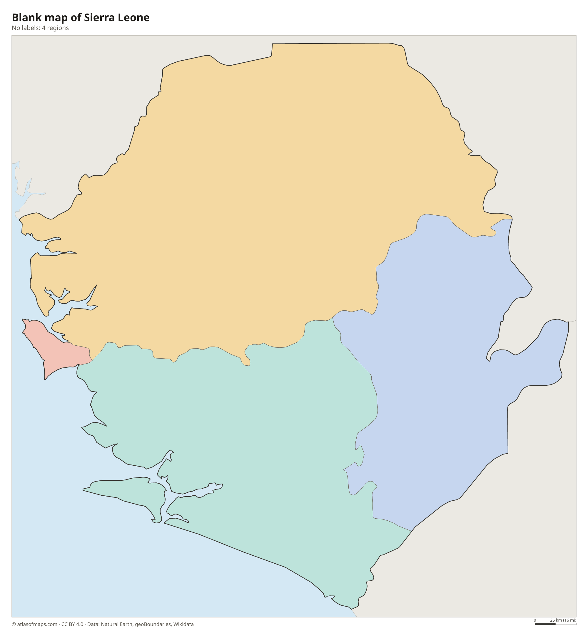
The map shows Sierra Leone in 4 units: the Eastern, Northern and Southern provinces and the Western Area, which includes Freetown. A newer North West Province, split from the Northern Province, is not drawn separately.
| Region | Capital | Population | Area |
|---|---|---|---|
| Eastern | Kenema | 1,943,610 | 15,553 km² (6,005 sq mi) |
| Northern | Makeni | 1,316,831 | 22,605 km² (8,728 sq mi) |
| Southern | Bo | 1,830,881 | 20,226 km² (7,809 sq mi) |
| Western Area | Freetown | 1,271,330 | 696 km² (269 sq mi) |
Population from Wikidata (latest figure available for each region).
Blank and coloring maps of Sierra Leone
Blank map of Sierra Leone

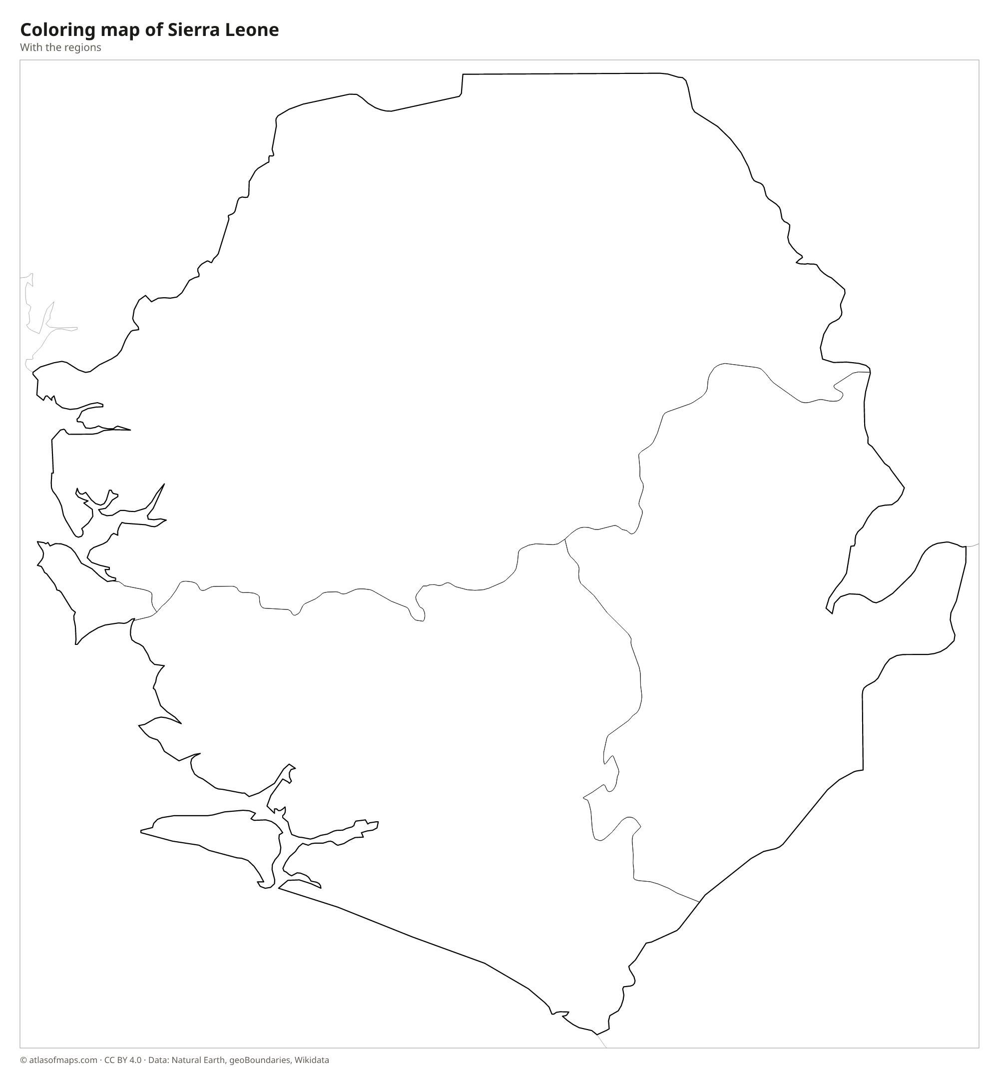
Coloring map of Sierra Leone

Geography of Sierra Leone
Sierra Leone rises in steps from the coast to the interior. A broad coastal belt of mangrove swamps, lagoons and low plains lines the Atlantic, except on the Freetown Peninsula, where forested mountains rise straight above the sea. Inland lie wooded hills and plains, and in the northeast and east a high plateau with mountain ranges such as the Loma Mountains and the Tingi Hills. Mount Bintumani in the Loma Mountains is the highest point at 1,945 m (6,381 ft).
Many rivers cross the country from northeast to southwest toward the Atlantic, among them the Rokel, Jong, Sewa and Moa. The estuary of the Sierra Leone River, next to Freetown, forms one of the largest natural harbors in Africa. Offshore lie Sherbro Island and the Banana Islands. The climate is tropical and very wet, with a long rainy season from about May to October and a dry season when the dusty harmattan wind blows from the Sahara. Rainforest survives in areas such as Gola and on the Freetown Peninsula.
Fun facts
- The name Sierra Leone comes from Portuguese and means Lion Mountains, after the hills of the Freetown Peninsula.
- Freetown was founded in the late 18th century as a settlement for freed enslaved people.
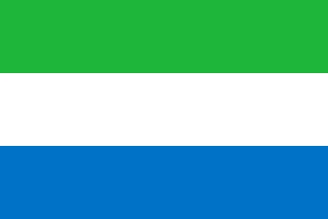
Flag of Sierra Leone
The flag of Sierra Leone has three equal horizontal stripes: green at the top, white in the middle and light blue at the bottom. The design has no emblem, star or coat of arms, and it is flown in the same form by the government and by citizens.
Countries bordering Sierra Leone
Frequently asked questions
What countries border Sierra Leone?
Sierra Leone borders two countries: Guinea to the north and east and Liberia to the southeast. Its western side faces the Atlantic Ocean.
How many provinces does Sierra Leone have?
The map divides Sierra Leone into 4 regions: the Eastern, Northern and Southern provinces and the Western Area around Freetown. Since a recent reform, a North West Province also exists.
What is the capital of Sierra Leone?
The capital and largest city is Freetown, on the Freetown Peninsula beside the estuary of the Sierra Leone River. Its harbor is one of the largest natural harbors in the world.
What language is spoken in Sierra Leone?
The official languages are English and Krio.
Can I print the map of Sierra Leone?
Yes. Every map on this page can be downloaded for free as PNG or PDF (US Letter) and printed, including the blank map and the coloring map. Please credit the source (Atlas of Maps, CC BY 4.0).
Use this map
You can download, print and share this map for free, in class, in school projects, in presentations and on websites, as long as you credit the source: Map of Sierra Leone · Atlas of Maps (atlasofmaps.com), license CC BY 4.0.
See also: Map of Africa · World map