Map of Liberia with regions and capitals
Liberia is a country on the Atlantic coast of West Africa. It borders Sierra Leone to the northwest, Guinea to the north and Ivory Coast to the east, and its long coastline faces the Atlantic Ocean to the southwest. The political map shows its 15 regions, the capital, Monrovia, and major cities.

- Capital
- Monrovia
- Population
- 5.2 million (2021)
- Area
- 111,369 km² (43,000 sq mi)
- Population density
- 47 per km² (121 per sq mi)
- Official language
- English
- Currency
- Liberian dollar
- Demonym
- Liberian
- Regions
- 15
- Highest point
- Mount Wuteve (1,440 m (4,724 ft))
- Calling code
- +231
- Internet domain
- .lr
Where is Liberia?
Liberia is a country on the Atlantic coast of West Africa. It borders Sierra Leone to the northwest, Guinea to the north and Ivory Coast to the east, and its long coastline faces the Atlantic Ocean to the southwest.
Neighboring countries: Ivory Coast, Guinea, Sierra Leone.

Regions of Liberia and their capitals
Liberia is divided into 15 counties, such as Montserrado, Nimba, Bong and Lofa. Montserrado, on the coast, is the most populous county because it contains the capital, Monrovia.
| Region | Capital | Population | Area |
|---|---|---|---|
| Bomi | Tubmanburg | 133,705 | 1,942 km² (750 sq mi) |
| Bong | Gbarnga | 333,481 | 8,754 km² (3,380 sq mi) |
| Gbarpolu | Bopolu | 95,995 | 9,689 km² (3,741 sq mi) |
| Grand Bassa | Buchanan | 293,689 | 7,936 km² (3,064 sq mi) |
| Grand Cape Mount | Robertsport | 178,867 | 5,162 km² (1,993 sq mi) |
| Grand Gedeh | Zwedru | 216,692 | 10,484 km² (4,048 sq mi) |
| Grand Kru | Barclayville | 109,342 | 3,895 km² (1,504 sq mi) |
| Lofa | Voinjama | 270,114 | 9,978 km² (3,853 sq mi) |
| Margibi | Kakata | 304,946 | 2,616 km² (1,010 sq mi) |
| Maryland | Harper | 172,587 | 2,297 km² (887 sq mi) |
| Montserrado | Bensonville | 1,920,965 | 1,908 km² (737 sq mi) |
| Nimba | Sanniquellie | 621,841 | 11,551 km² (4,460 sq mi) |
| River Cess | River Cess | 90,819 | 5,594 km² (2,160 sq mi) |
| River Gee | Fish Town | 124,653 | 5,113 km² (1,974 sq mi) |
| Sinoe | Greenville | 151,149 | 10,137 km² (3,914 sq mi) |
Population from Wikidata (latest figure available for each region).
Blank and coloring maps of Liberia
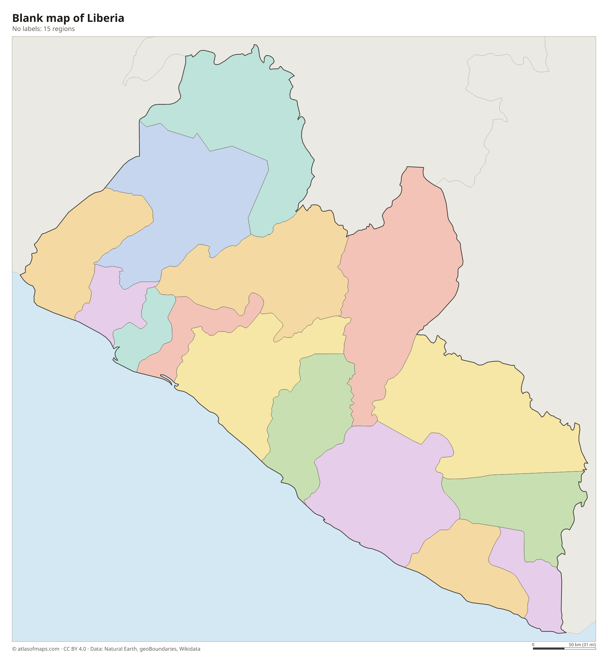
Blank map of Liberia

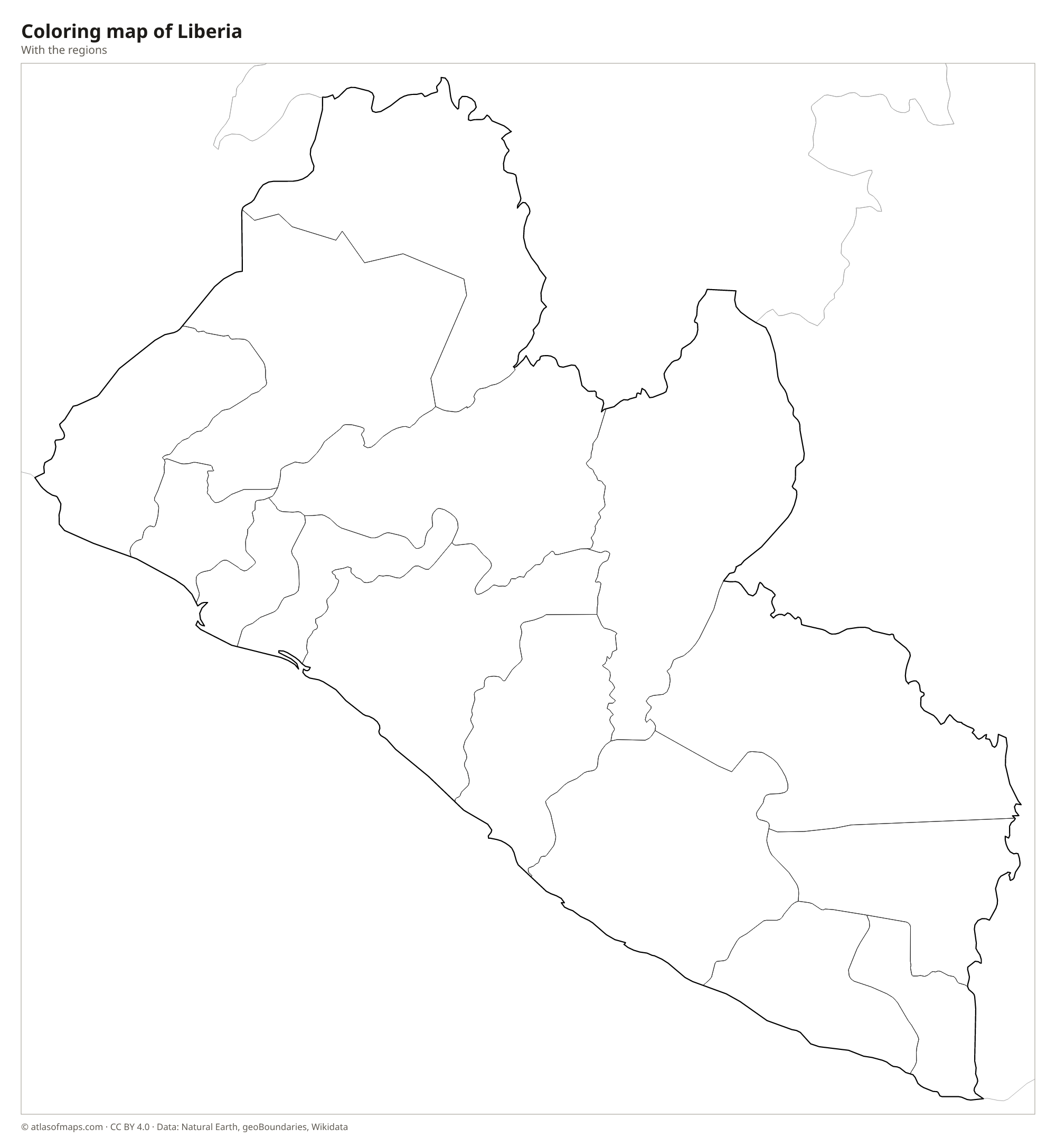
Coloring map of Liberia

Geography of Liberia
Liberia covers 111,369 km² (43,000 sq mi). A flat coastal plain with lagoons, mangrove swamps and sandy beaches runs along the Atlantic. Inland the land rises to a belt of rolling hills and plateaus covered with tropical rainforest. Low mountains rise in the north, near the Guinean border, including the Nimba Range and the Wologizi Mountains, where Mount Wuteve is the highest point at 1,440 m (4,724 ft). Liberia holds a large share of West Africa's remaining Upper Guinean rainforest, protected in places such as Sapo National Park.
Many parallel rivers flow southwest from the highlands to the Atlantic. The Mano River forms part of the border with Sierra Leone, and the Cavalla River much of the border with Ivory Coast. Other main rivers include the Lofa, the St. Paul, the St. John and the Cestos. The climate is hot and humid all year, with a long rainy season from about May to October, and the coast around Monrovia receives some of the heaviest rainfall in West Africa.
Fun facts
- Monrovia, the capital, is named after James Monroe, the fifth president of the United States.
- Liberia became independent in 1847 and is often called Africa's oldest republic.
- Liberia runs one of the largest ship registries in the world, so many merchant ships sail under the Liberian flag.
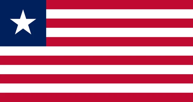
Flag of Liberia
Liberia's flag has 11 horizontal stripes, six red and five white, alternating and starting with red at the top. In the upper corner next to the pole is a dark blue square with a single white five-pointed star. The flag has a 10:19 ratio, the same proportions as the flag of the United States.
Countries bordering Liberia
Frequently asked questions
What countries border Liberia?
Liberia borders three countries: Sierra Leone to the northwest, Guinea to the north and Ivory Coast to the east. The Atlantic Ocean lies along its southwestern coast.
How many counties does Liberia have?
Liberia has 15 counties. Montserrado contains the capital, Monrovia, and has the most people, while counties such as Nimba, Bong and Lofa cover the inland north.
Why does Liberia's flag look like the US flag?
Liberia was founded by the American Colonization Society as a home for freed African Americans, and its settlers modeled the flag on the U.S. flag. It has 11 stripes and a single star instead of 13 stripes and 50 stars.
What is the capital of Liberia?
The capital of Liberia is Monrovia.
How many regions does Liberia have?
Liberia is divided into 15 regions: Bomi, Bong, Gbarpolu, Grand Bassa, Grand Cape Mount, Grand Gedeh, Grand Kru, Lofa, Margibi, Maryland, Montserrado, Nimba, River Cess, River Gee, and Sinoe.
What language is spoken in Liberia?
The official language is English.
Can I print the map of Liberia?
Yes. Every map on this page can be downloaded for free as PNG or PDF (US Letter) and printed, including the blank map and the coloring map. Please credit the source (Atlas of Maps, CC BY 4.0).
Use this map
You can download, print and share this map for free, in class, in school projects, in presentations and on websites, as long as you credit the source: Map of Liberia · Atlas of Maps (atlasofmaps.com), license CC BY 4.0.
See also: Map of Africa · World map