Map of Sweden with counties and capitals
Sweden is a country in Northern Europe that occupies the eastern part of the Scandinavian Peninsula. It borders Norway to the west and Finland to the northeast, and its long coast faces the Baltic Sea, the Gulf of Bothnia and the Kattegat. The political map shows its 21 counties, the capital, Stockholm, and major cities.

- Capital
- Stockholm
- Population
- 10.6 million (2025)
- Area
- 447,425 km² (172,752 sq mi)
- Population density
- 24 per km² (61 per sq mi)
- Official language
- Swedish
- Currency
- Swedish krona
- Demonym
- Swedish
- Counties
- 21
- Highest point
- Kebnekaise (2,097 m (6,880 ft))
- Calling code
- +46
- Internet domain
- .se
Where is Sweden?
Sweden is a country in Northern Europe that occupies the eastern part of the Scandinavian Peninsula. It borders Norway to the west and Finland to the northeast, and its long coast faces the Baltic Sea, the Gulf of Bothnia and the Kattegat.

Counties of Sweden and their capitals
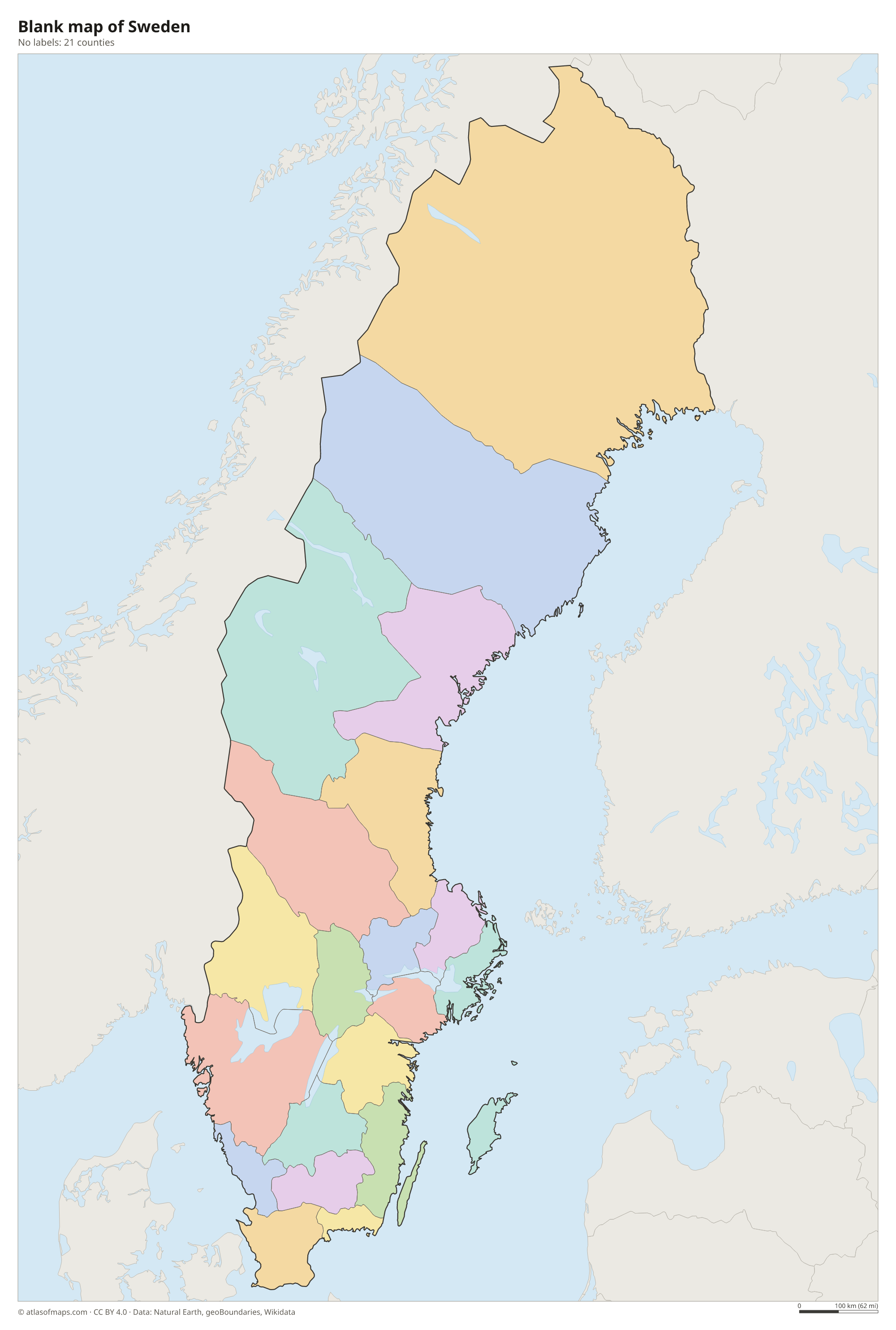
Sweden is divided into 21 counties (län), shown on the map, each with a governor appointed by the national government. Stockholm County and Västra Götaland have the most people, while Norrbotten in the far north is the largest by area.
| County | Capital | Population | Area |
|---|---|---|---|
| Blekinge | Karlskrona | 156,257 | 6,941 km² (2,680 sq mi) |
| Dalarna | Falun | 286,249 | 28,189 km² (10,884 sq mi) |
| Gävleborg | Gävle | 283,113 | 25,009 km² (9,656 sq mi) |
| Gotland | Visby | 60,724 | 15,196 km² (5,867 sq mi) |
| Halland | Halmstad | 346,505 | 8,712 km² (3,364 sq mi) |
| Jämtland | Östersund | 132,700 | 53,753 km² (20,754 sq mi) |
| Jönköping | Jönköping | 369,563 | 11,693 km² (4,515 sq mi) |
| Kalmar | Kalmar | 245,044 | 20,495 km² (7,913 sq mi) |
| Kronoberg | Växjö | 202,557 | 9,385 km² (3,624 sq mi) |
| Norrbotten | Luleå | 249,265 | 112,027 km² (43,254 sq mi) |
| Örebro | Örebro | 308,102 | 9,633 km² (3,719 sq mi) |
| Östergötland | Linköping | 472,211 | 14,579 km² (5,629 sq mi) |
| Skåne | Malmö | 1,433,725 | 17,032 km² (6,576 sq mi) |
| Södermanland | Nyköping | 300,291 | 8,696 km² (3,358 sq mi) |
| Stockholm | Stockholm | 2,493,767 | 16,720 km² (6,456 sq mi) |
| Uppsala | Uppsala | 410,075 | 11,940 km² (4,610 sq mi) |
| Värmland | Karlstad | 282,467 | 21,789 km² (8,413 sq mi) |
| Västerbotten | Umeå | 277,714 | 66,823 km² (25,801 sq mi) |
| Västernorrland | Härnösand | 240,338 | 27,994 km² (10,809 sq mi) |
| Västmanland | Västerås | 280,983 | 5,659 km² (2,185 sq mi) |
| Västra Götaland | Gothenburg | 1,778,822 | 34,331 km² (13,255 sq mi) |
Population from Wikidata (latest figure available for each county).
Blank and coloring maps of Sweden
Blank map of Sweden

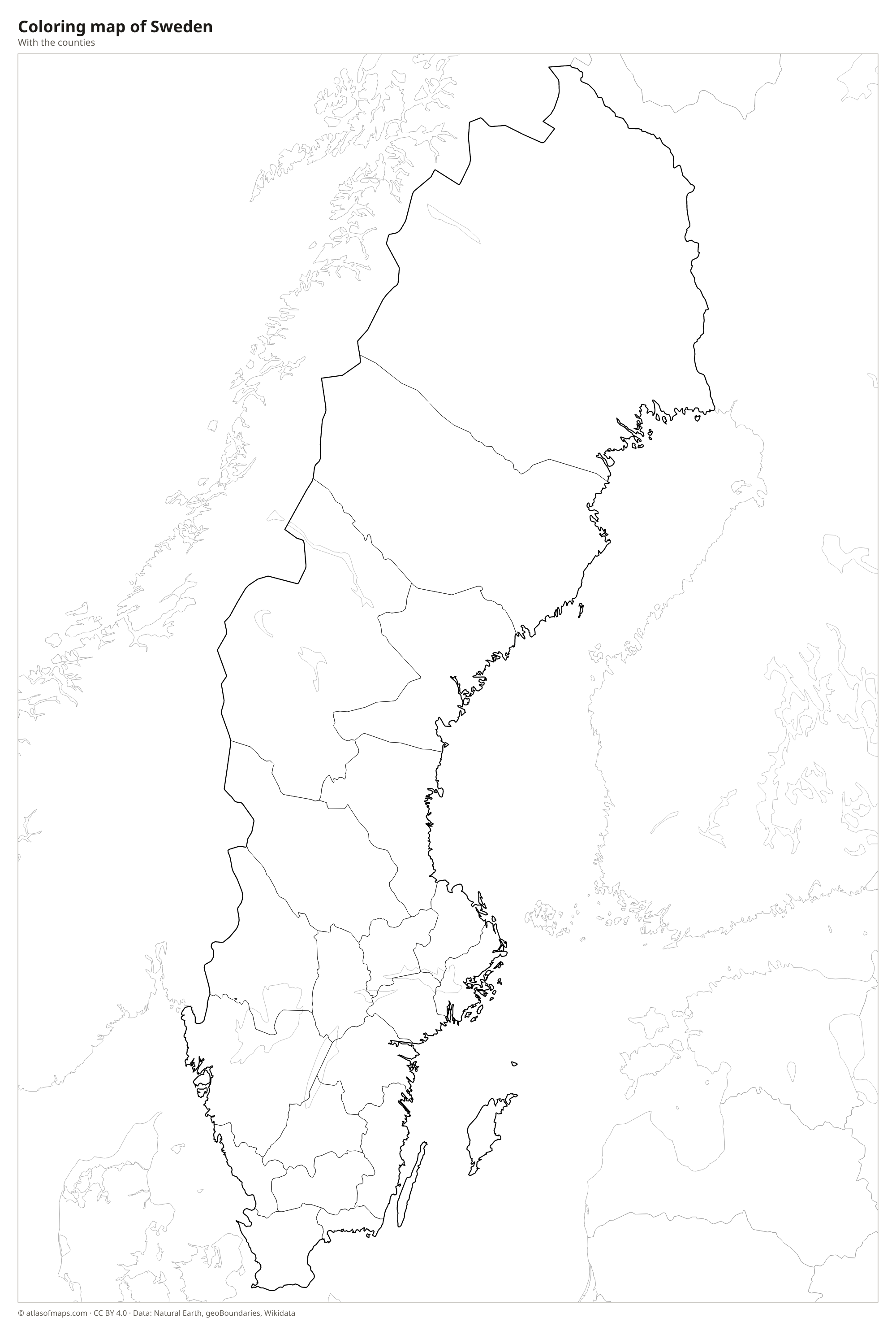
Coloring map of Sweden

Geography of Sweden
Sweden covers about 447,425 km² (172,752 sq mi) and reaches far north of the Arctic Circle. The Scandinavian Mountains run along the border with Norway, and in Lapland, in the far north, Kebnekaise rises to 2,097 m (6,880 ft), the highest point in the country. East of the mountains, the large region of Norrland is covered with conifer forests, bogs and river valleys. The south is lower, with the rocky Småland highlands and the flat farmland of Skåne at the southern tip. Off the east coast lie the large islands of Gotland and Öland.
Sweden has nearly 100,000 lakes. Vänern, in the southwest, is the largest, with Vättern and Mälaren nearby; Stockholm stands where Mälaren meets the Baltic. Many rivers, such as the Dalälven and the Ume, flow southeast from the mountains to the Gulf of Bothnia, and the Torne River forms part of the border with Finland. The south has a mild climate for its latitude thanks to air from the Atlantic, while the north has long, cold winters. North of the Arctic Circle the sun stays up all night around midsummer.
Fun facts
- Vänern is the largest lake in the European Union and the third largest in Europe.
- Gotland is the largest island in the Baltic Sea.
- Kebnekaise has two summits, and the glacier-capped south peak has lost so much ice that the rocky north peak is now the higher one.
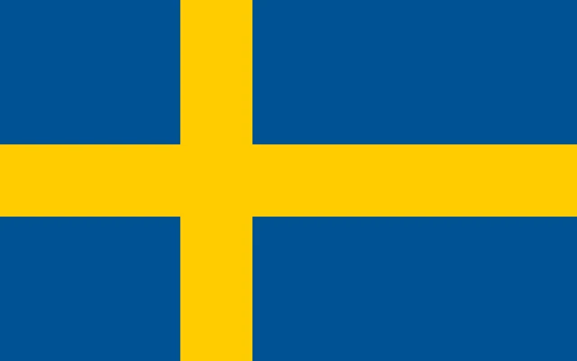
Flag of Sweden
The flag of Sweden shows a yellow cross on a blue field. The vertical arm of the cross is set closer to the hoist than to the fly, the shape known as the Nordic cross that also appears on the flags of Denmark, Norway, Finland and Iceland. The flag has no emblem or other decoration.
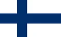
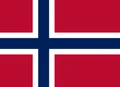
Countries bordering Sweden
Frequently asked questions
What countries border Sweden?
Sweden has land borders with Norway to the west and Finland to the northeast. It is also linked to Denmark by the Öresund Bridge, which connects Malmö with Copenhagen by road and rail.
How many counties does Sweden have?
Sweden has 21 counties, called län in Swedish. They range from Gotland, which consists of a single large island, to Norrbotten, the huge northern county that borders both Norway and Finland.
What is the capital of Sweden?
The capital of Sweden is Stockholm, its largest city. It is built on a group of islands where Lake Mälaren flows into the Baltic Sea.
What language is spoken in Sweden?
The official language is Swedish.
Can I print the map of Sweden?
Yes. Every map on this page can be downloaded for free as PNG or PDF (US Letter) and printed, including the blank map and the coloring map. Please credit the source (Atlas of Maps, CC BY 4.0).
Use this map
You can download, print and share this map for free, in class, in school projects, in presentations and on websites, as long as you credit the source: Map of Sweden · Atlas of Maps (atlasofmaps.com), license CC BY 4.0.
See also: Map of Europe · Map of the European Union · World map