Map of Tunisia
Tunisia is a country in North Africa at the northernmost tip of the African continent. It borders Algeria to the west and Libya to the southeast, and the Mediterranean Sea washes its northern and eastern coasts. The political map shows its regions, the capital, Tunis, and major cities.

- Capital
- Tunis
- Population
- 11.6 million (2018)
- Area
- 163,610 km² (63,170 sq mi)
- Population density
- 71 per km² (183 per sq mi)
- Official language
- Arabic
- Currency
- Tunisian dinar
- Demonym
- Tunisian
- Highest point
- Jebel ech Chambi (1,544 m (5,066 ft))
- Calling code
- +216
- Internet domain
- .tn
- Official name
- Republic of Tunisia
Where is Tunisia?
Tunisia is a country in North Africa at the northernmost tip of the African continent. It borders Algeria to the west and Libya to the southeast, and the Mediterranean Sea washes its northern and eastern coasts.

Regions of Tunisia and their capitals
Tunisia is divided into governorates, which are named after their main towns, such as Tunis, Sfax and Sousse. The map uses Natural Earth boundaries, which may not show the most recent administrative changes.
The divisions on the map come from Natural Earth and may not reflect the latest territorial reform in Tunisia.
| Region | Capital | Population | Area |
|---|---|---|---|
| Beja | Béja | 303,032 | 3,558 km² (1,374 sq mi) |
| Ben Arous | Ben Arous | 632,842 | 761 km² (294 sq mi) |
| Bizerte | Bizerte | 568,219 | 3,750 km² (1,448 sq mi) |
| Gabès | Gabès | 374,300 | 7,175 km² (2,770 sq mi) |
| Gafsa | Gafsa | 337,331 | 7,807 km² (3,014 sq mi) |
| Jendouba | Jendouba | 401,477 | 3,102 km² (1,198 sq mi) |
| Kairouan | Kairouan | 570,559 | 6,712 km² (2,592 sq mi) |
| Kasserine | Kasserine | 439,243 | 8,260 km² (3,189 sq mi) |
| Kebili | Kebili | 180 | 22,454 km² (8,670 sq mi) |
| Kef | El Kef | 243,156 | 4,965 km² (1,917 sq mi) |
| Mahdia | Mahdia | 410,812 | 2,966 km² (1,145 sq mi) |
| Manouba | Manouba | 379,518 | 1,137 km² (439 sq mi) |
| Medenine | Medenine | 479,520 | 9,167 km² (3,539 sq mi) |
| Monastir | Monastir | 548,828 | 1,019 km² (393 sq mi) |
| Nabeul | Nabeul | 787,920 | 2,788 km² (1,076 sq mi) |
| Sfax | Sfax | 955,421 | 7,545 km² (2,913 sq mi) |
| Sidi Bouzid | Sidi Bouzid | 429,912 | 7,405 km² (2,859 sq mi) |
| Siliana | Siliana | 223,087 | 4,642 km² (1,792 sq mi) |
| Sousse | Sousse | 674,971 | 2,669 km² (1,031 sq mi) |
| Tataouine | Tataouine | 149,453 | 38,889 km² (15,015 sq mi) |
| Tozeur | Tozeur | 107,912 | 4,719 km² (1,822 sq mi) |
| Tunis | Tunis | 1,056,247 | 346 km² (134 sq mi) |
| Zaghouan | Zaghouan | 176,945 | 2,768 km² (1,069 sq mi) |
Population from Wikidata (latest figure available for each region).
Blank and coloring maps of Tunisia
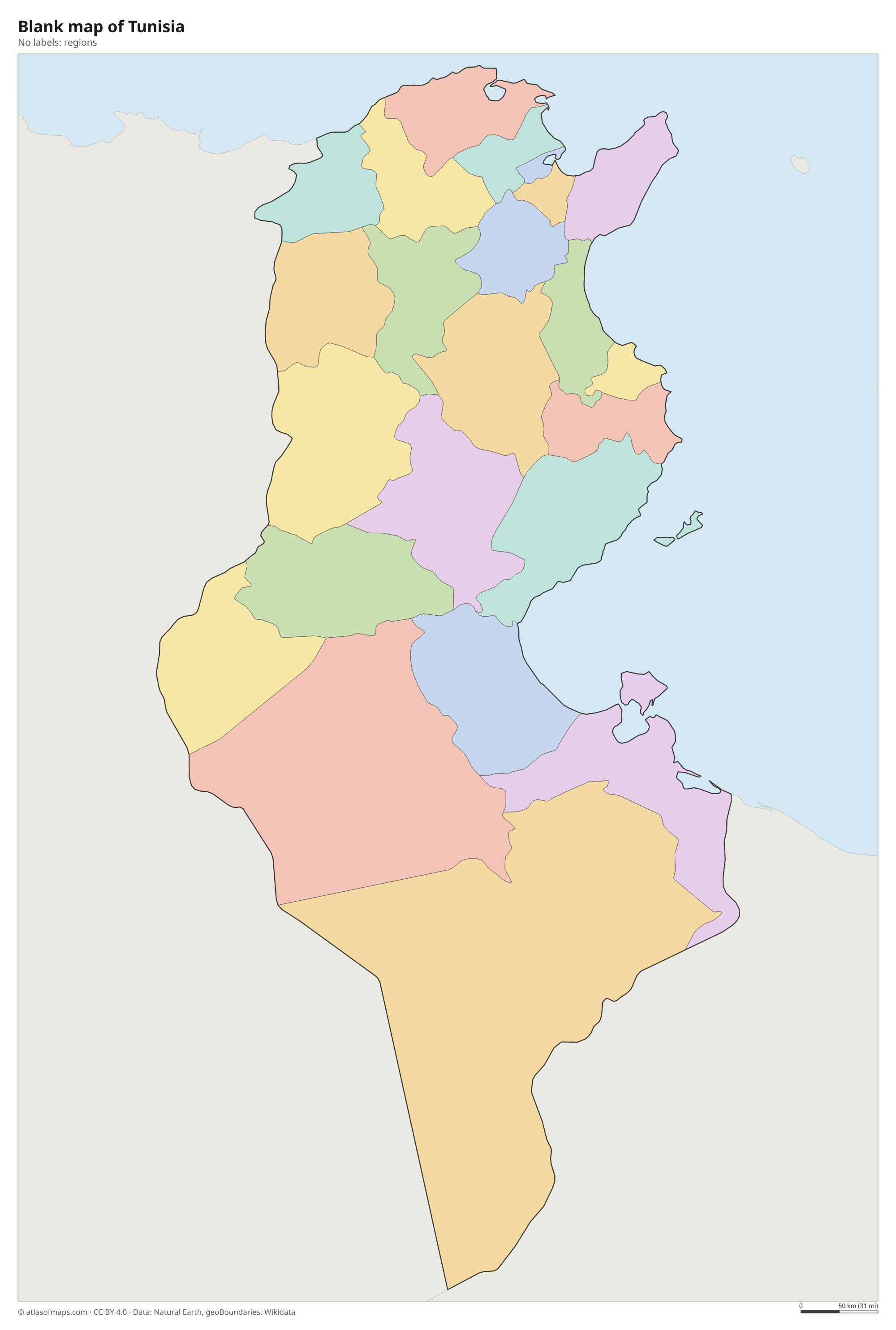
Blank map of Tunisia

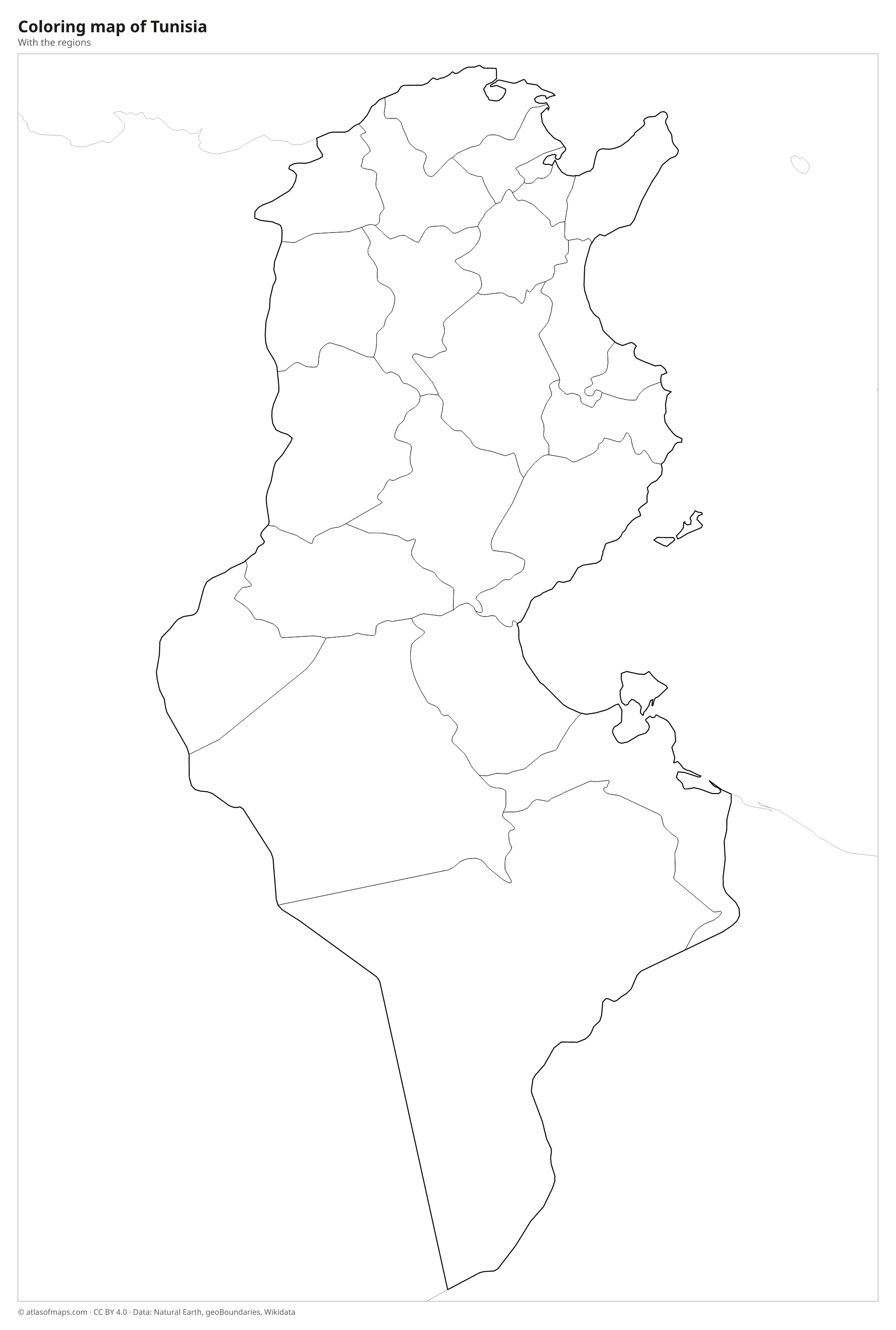
Coloring map of Tunisia

Geography of Tunisia
Tunisia covers about 163,610 km² (63,170 sq mi). The eastern end of the Atlas Mountains crosses the north and west as the Tunisian Dorsal, which holds the highest point, Jebel ech Chambi, at 1,544 m (5,066 ft), near Kasserine. North of the Dorsal lie green hills and the fertile Tell, while the center of the country is a dry steppe. Farther south, a chain of large salt lakes, including Chott el Djerid, separates the steppe from the Sahara, whose sand seas and rocky plateaus cover much of the south.
The Medjerda is Tunisia's main river and its only permanent one, flowing from Algeria across the north to the Gulf of Tunis. The long coastline has three large gulfs, those of Tunis, Hammamet and Gabès, and islands such as Djerba and the Kerkennah Islands. The north and the coast have a Mediterranean climate, with hot, dry summers and mild, rainy winters, while the interior becomes steadily drier toward the desert, where rain is rare and summer heat is intense.
Fun facts
- Cape Angela, near Bizerte, is often cited as the northernmost point of Africa.
- The Roman amphitheater of El Jem is one of the largest amphitheaters ever built and a UNESCO World Heritage Site.
- Chott el Djerid is one of the largest salt flats in the Sahara.
Flag of Tunisia
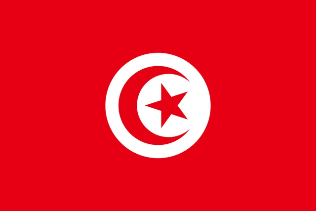
The flag of Tunisia is red with a white circle in the center. Inside the circle is a red crescent that almost surrounds a red five-pointed star, with the open side of the crescent facing the fly. The design is simple, with no stripes or other emblems.
Countries bordering Tunisia
Frequently asked questions
What countries border Tunisia?
Tunisia borders Algeria to the west and Libya to the southeast. Its northern and eastern sides face the Mediterranean Sea, and the Italian island of Sicily lies across the Strait of Sicily.
What is the capital of Tunisia?
The capital of Tunisia is Tunis, the largest city, on the Gulf of Tunis in the north. The ruins of ancient Carthage lie in its suburbs.
Is Tunisia in Africa or the Middle East?
Tunisia is in North Africa, in the region known as the Maghreb. As an Arabic-speaking country it is sometimes grouped with the Middle East in a wider sense, but geographically it belongs to Africa.
What language is spoken in Tunisia?
The official language is Arabic.
Can I print the map of Tunisia?
Yes. Every map on this page can be downloaded for free as PNG or PDF (US Letter) and printed, including the blank map and the coloring map. Please credit the source (Atlas of Maps, CC BY 4.0).
Use this map
You can download, print and share this map for free, in class, in school projects, in presentations and on websites, as long as you credit the source: Map of Tunisia · Atlas of Maps (atlasofmaps.com), license CC BY 4.0.
See also: Map of Africa · World map