Map of Belarus with regions and capitals
Belarus is a landlocked country in Eastern Europe. It borders Russia to the east and northeast, Ukraine to the south, Poland to the west, and Lithuania and Latvia to the northwest and north. The political map shows its 7 regions, the capital, Minsk, and major cities.

- Capital
- Minsk
- Population
- 9.1 million (2026)
- Area
- 207,597 km² (80,154 sq mi)
- Population density
- 44 per km² (113 per sq mi)
- Official languages
- Belarusian and Russian
- Currency
- Belarusian ruble
- Demonym
- Belarusian
- Regions
- 7
- Highest point
- Dziaržynkaja hara (345 m (1,132 ft))
- Calling code
- +375
- Internet domain
- .by
- Official name
- Republic of Belarus
- Also known as
- Belorussia
Where is Belarus?
Belarus is a landlocked country in Eastern Europe. It borders Russia to the east and northeast, Ukraine to the south, Poland to the west, and Lithuania and Latvia to the northwest and north.
Neighboring countries: Lithuania, Latvia, Poland, Russia, Ukraine.

Regions of Belarus and their capitals
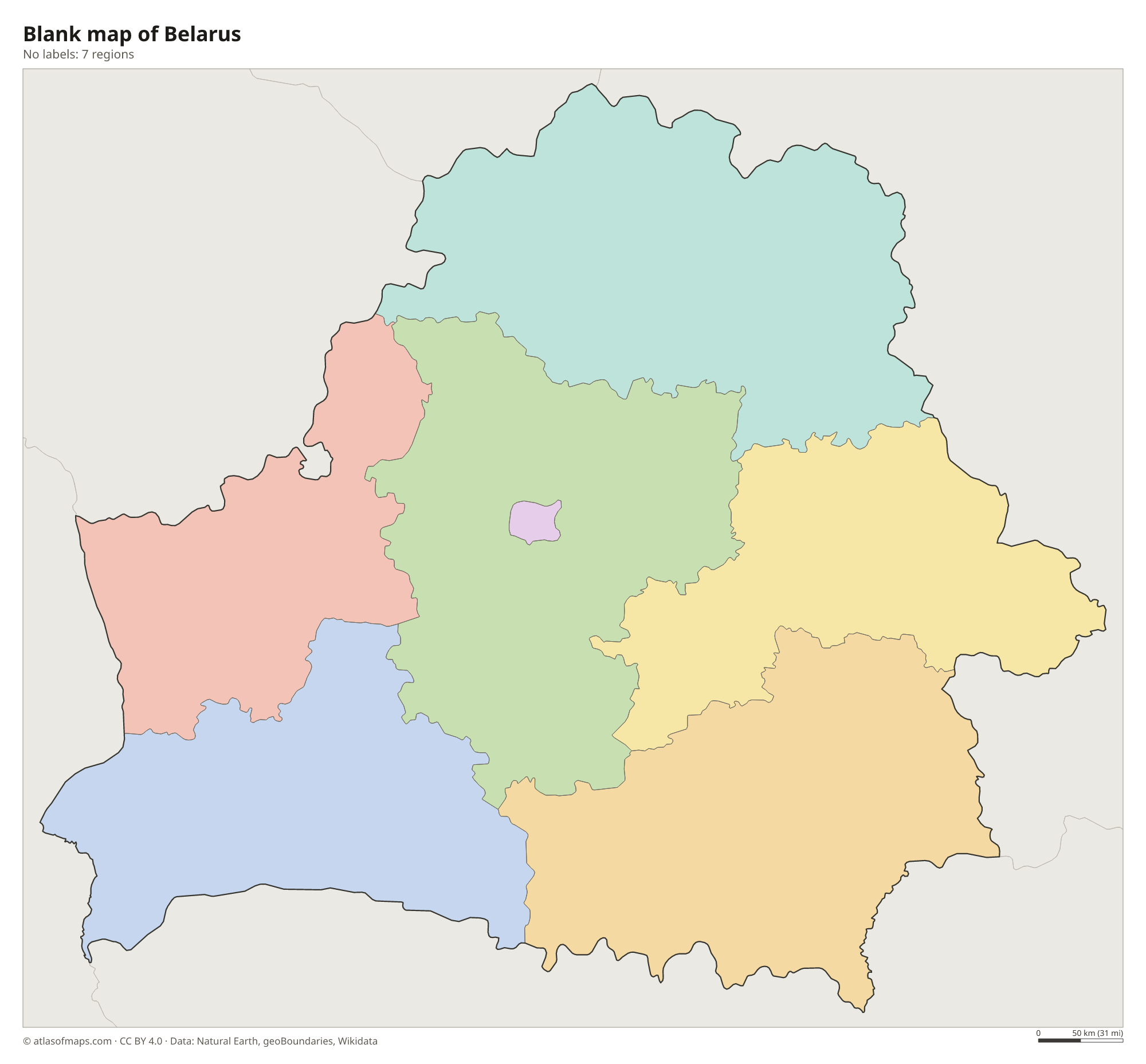
Belarus is divided into 7 units on the map: 6 regions (oblasts), named after their capitals Brest, Gomel, Grodno, Mahilioŭ (Mogilev), Minsk and Vitebsk, and the City of Minsk, which has the status of a region.
| Region | Capital | Population | Area |
|---|---|---|---|
| Brest | Brest | 1,290,628 | 32,300 km² (12,471 sq mi) |
| City of Minsk | City of Minsk | 1,995,091 | 410 km² (158 sq mi) |
| Gomel | Gomel | 1,316,666 | 40,400 km² (15,599 sq mi) |
| Grodno | Hrodna | 976,218 | 25,000 km² (9,653 sq mi) |
| Mahilioŭ | Mahilyow | 962,053 | 29,000 km² (11,197 sq mi) |
| Minsk | Minsk | 1,454,737 | 40,800 km² (15,753 sq mi) |
| Vitebsk | Vitebsk | 1,060,687 | 40,050 km² (15,463 sq mi) |
Population from Wikidata (latest figure available for each region).
Blank and coloring maps of Belarus
Blank map of Belarus

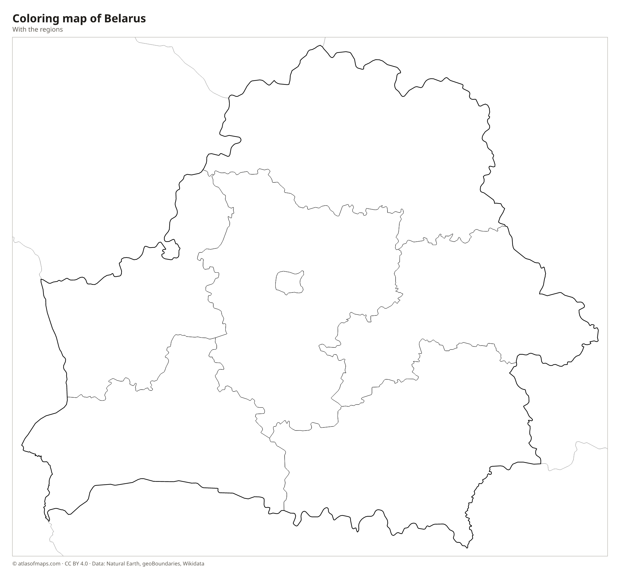
Coloring map of Belarus

Geography of Belarus
Belarus covers 207,597 km² (80,154 sq mi) and is mostly flat, shaped by glaciers during the Ice Age. A belt of low hills, the Belarusian Ridge, runs from the west toward the northeast, and its highest point, Dziaržynkaja hara, is only 345 m (1,132 ft) high. The north is a lake district, and the south is covered by Polesia, a huge lowland of marshes, forests and floodplains along the Pripyat River that extends into Ukraine. Forests cover a large share of the country.
Belarus has thousands of lakes, which have earned it the nickname land of blue lakes; Lake Narach in the northwest is the largest. Rivers drain in two directions: the Dnieper and its tributaries, the Pripyat, Berezina and Sozh, flow south toward the Black Sea, while the Neman and the Western Dvina flow to the Baltic Sea. In the west, the Białowieża Forest, shared with Poland, is one of the last parts of the primeval forest that once covered Europe. The climate is moderately continental, with cold winters and warm summers. About 9.1 million people (2026) live in Belarus.
Fun facts
- Belarus is the largest landlocked country that lies entirely in Europe.
- The Białowieża Forest, on the border with Poland, is home to the European bison, the heaviest land animal in Europe.
- Polesia, in the south of Belarus, is one of the largest wetland areas in Europe.
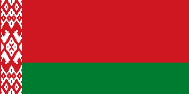
Flag of Belarus
The flag of Belarus has two horizontal bands: a wide red band on top, taking up two-thirds of the height, and a narrower green band below. At the hoist is a vertical white strip with a traditional red ornamental pattern. The flag is twice as wide as it is tall.
Countries bordering Belarus
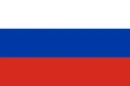
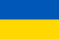
Frequently asked questions
What countries border Belarus?
Belarus borders five countries: Russia, Ukraine, Poland, Lithuania and Latvia. It has no coastline; the nearest sea is the Baltic, beyond Lithuania and Latvia.
How many regions does Belarus have?
Belarus has 7 regions on the map: the 6 oblasts of Brest, Gomel, Grodno, Mahilioŭ, Minsk and Vitebsk, plus the capital city of Minsk, which forms a region of its own.
Is Belarus part of Russia?
No. Belarus has been an independent country since the breakup of the Soviet Union in 1991. It keeps close political and economic ties with Russia, including a treaty-based union, but remains a separate state.
What is the capital of Belarus?
The capital of Belarus is Minsk.
What language is spoken in Belarus?
The official languages are Belarusian and Russian.
Can I print the map of Belarus?
Yes. Every map on this page can be downloaded for free as PNG or PDF (US Letter) and printed, including the blank map and the coloring map. Please credit the source (Atlas of Maps, CC BY 4.0).
Use this map
You can download, print and share this map for free, in class, in school projects, in presentations and on websites, as long as you credit the source: Map of Belarus · Atlas of Maps (atlasofmaps.com), license CC BY 4.0.
See also: Map of Europe · World map