Map of Latvia with regions and capitals
Latvia is a country in northeastern Europe, one of the three Baltic states. It borders Estonia to the north, Russia to the east, Belarus to the southeast and Lithuania to the south, with the Baltic Sea and the Gulf of Riga to the west. The political map shows its 5 regions, the capital, Riga, and major cities.

- Capital
- Riga
- Population
- 1.8 million (2026)
- Area
- 64,594 km² (24,940 sq mi)
- Population density
- 29 per km² (74 per sq mi)
- Official language
- Latvian
- Currency
- euro
- Demonym
- Latvian
- Regions
- 5
- Highest point
- Gaiziņkalns (312 m (1,024 ft))
- Calling code
- +371
- Internet domain
- .lv
Where is Latvia?
Latvia is a country in northeastern Europe, one of the three Baltic states. It borders Estonia to the north, Russia to the east, Belarus to the southeast and Lithuania to the south, with the Baltic Sea and the Gulf of Riga to the west.

Regions of Latvia and their capitals
The map shows Latvia's 5 planning regions: Kurzeme, Latgale, Riga, Vidzeme and Zemgale. For local government, the country is divided into municipalities and state cities, which were reorganized in a reform in 2021.
| Region | Capital | Population | Area |
|---|---|---|---|
| Kurzeme | — | — | — |
| Latgale | — | — | — |
| Riga | Riga | — | — |
| Valmiera Municipality | Valmiera | 50,324 | 2,948 km² (1,138 sq mi) |
| Zemgale | — | — | — |
Population from Wikidata (latest figure available for each region).
Blank and coloring maps of Latvia
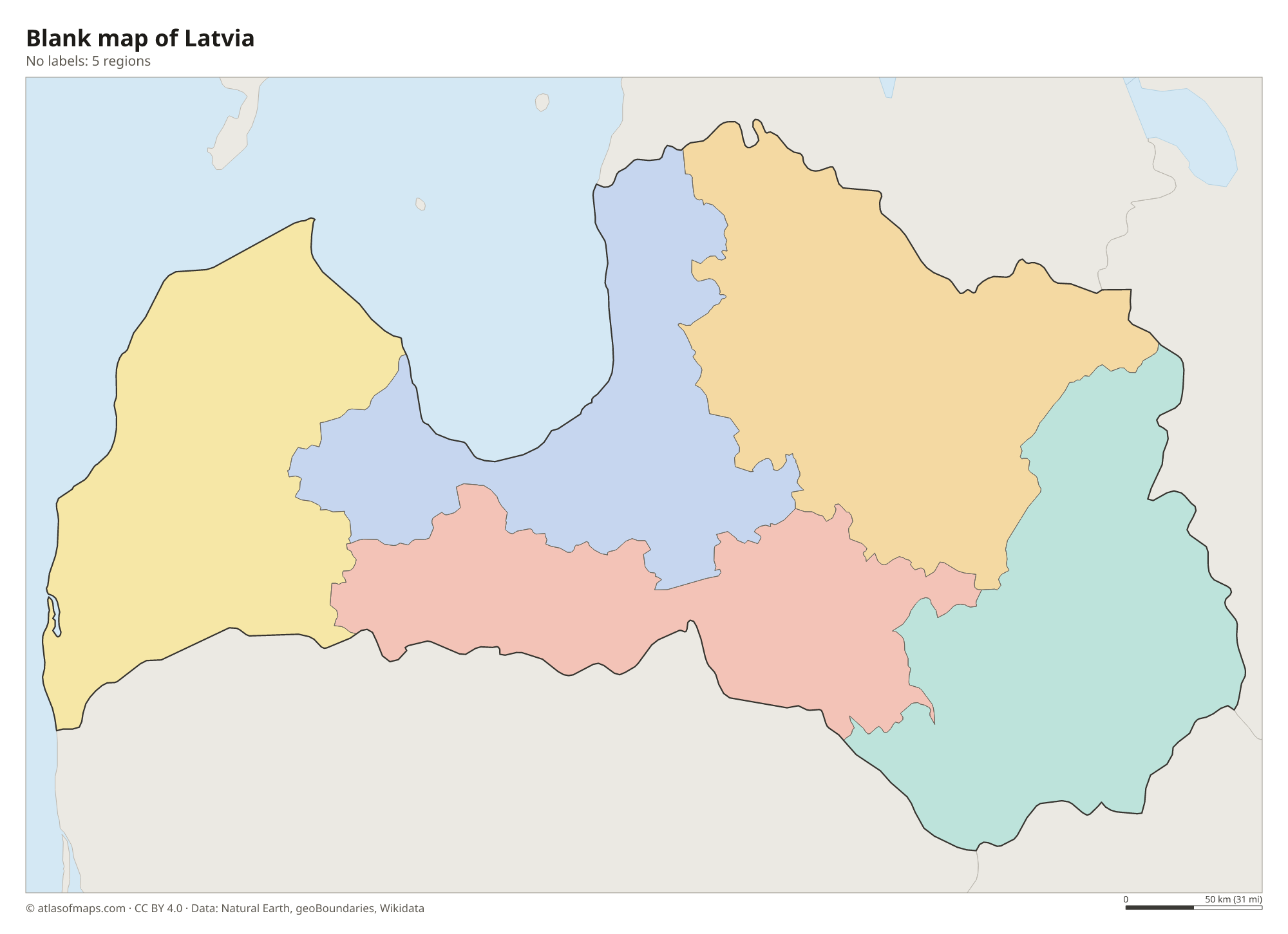
Blank map of Latvia

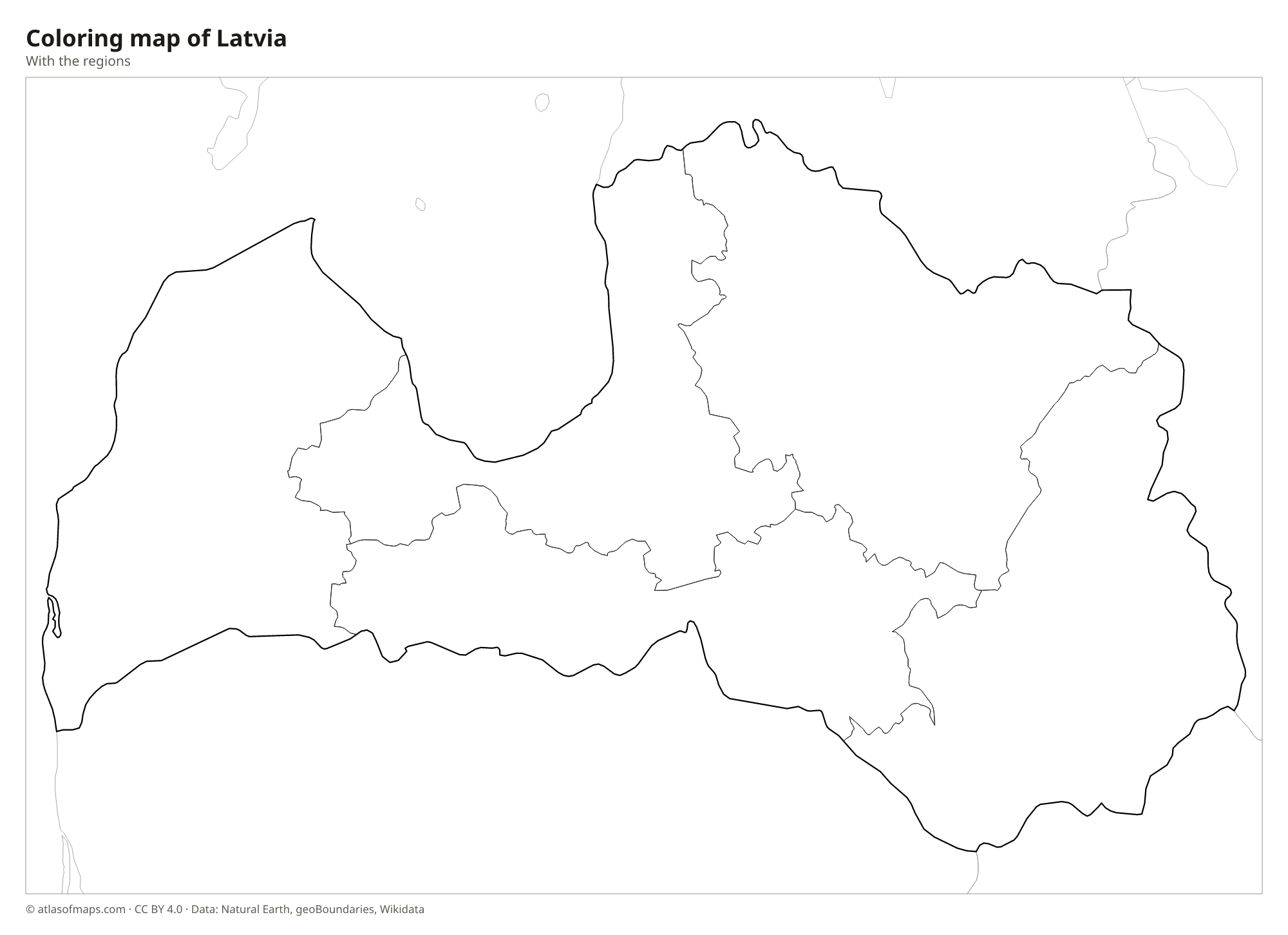
Coloring map of Latvia

Geography of Latvia
Latvia covers 64,594 km² (24,940 sq mi) and is a low, rolling land of forests, farmland, lakes and bogs. Forests cover about half of the country. Low uplands rise in the east and center, and the highest point, Gaiziņkalns in the Vidzeme Upland, reaches only 312 m (1,024 ft). The long coast is mostly sandy beach backed by dunes and pine forests, such as the resort strip of Jūrmala near Riga. At Cape Kolka, the open Baltic Sea meets the Gulf of Riga.
The Daugava, Latvia's largest river, flows in from Belarus, crosses the country and enters the Gulf of Riga at the capital, Riga. The Gauja winds through Gauja National Park, with sandstone cliffs and caves, and in the west the Venta drops over Ventas Rumba, one of the widest waterfalls in Europe. Latgale in the southeast is known as the land of blue lakes, and Lubāns is the largest lake. The climate is temperate but fairly cold, with snowy winters and mild summers moderated by the sea.
Fun facts
- Riga's historic center is a UNESCO World Heritage Site known for its many Art Nouveau buildings.
- The Gauja is the longest river that flows entirely within Latvia.
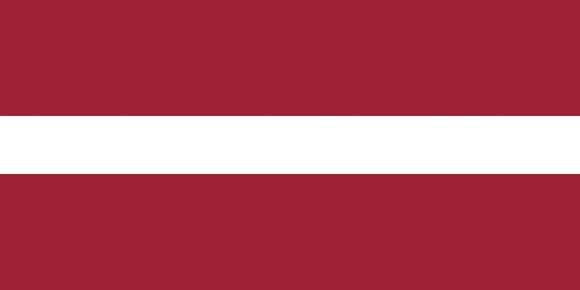
Flag of Latvia
Latvia's flag has a dark carmine red field, often described as maroon, with a narrow white horizontal stripe across the middle. The red stripes above and below are each twice as tall as the white stripe. The flag has a 1:2 ratio.
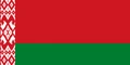
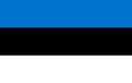
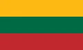
Countries bordering Latvia
Frequently asked questions
What countries border Latvia?
Latvia borders four countries: Estonia to the north, Russia to the east, Belarus to the southeast and Lithuania to the south. Its western side faces the Baltic Sea.
How many regions does Latvia have?
The map shows 5 planning regions: Kurzeme in the west, Zemgale in the south, Latgale in the east, Vidzeme in the north and Riga around the capital. Local government is run by municipalities and state cities.
Is Latvia in Eastern or Northern Europe?
Latvia is one of the Baltic states on the eastern shore of the Baltic Sea. The United Nations classifies it as part of Northern Europe, though it is sometimes described as Eastern Europe.
What is the capital of Latvia?
The capital of Latvia is Riga.
What language is spoken in Latvia?
The official language is Latvian.
Can I print the map of Latvia?
Yes. Every map on this page can be downloaded for free as PNG or PDF (US Letter) and printed, including the blank map and the coloring map. Please credit the source (Atlas of Maps, CC BY 4.0).
Use this map
You can download, print and share this map for free, in class, in school projects, in presentations and on websites, as long as you credit the source: Map of Latvia · Atlas of Maps (atlasofmaps.com), license CC BY 4.0.
See also: Map of Europe · Map of the European Union · World map