Map of Lithuania with regions and capitals
Lithuania is a country in Northern Europe, the southernmost of the three Baltic states. It borders Latvia to the north, Belarus to the east and south, Poland to the southwest and Russia's Kaliningrad region to the west, and has a short coast on the Baltic Sea. The political map shows its 10 regions, the capital, Vilnius, and major cities.

- Capital
- Vilnius
- Population
- 2.9 million (2023)
- Area
- 65,300 km² (25,212 sq mi)
- Population density
- 44 per km² (113 per sq mi)
- Official language
- Lithuanian
- Currency
- euro
- Demonym
- Lithuanian
- Regions
- 10
- Highest point
- Aukštojas Hill (294 m (965 ft))
- Calling code
- +370
- Internet domain
- .lt
Where is Lithuania?
Lithuania is a country in Northern Europe, the southernmost of the three Baltic states. It borders Latvia to the north, Belarus to the east and south, Poland to the southwest and Russia's Kaliningrad region to the west, and has a short coast on the Baltic Sea.

Regions of Lithuania and their capitals
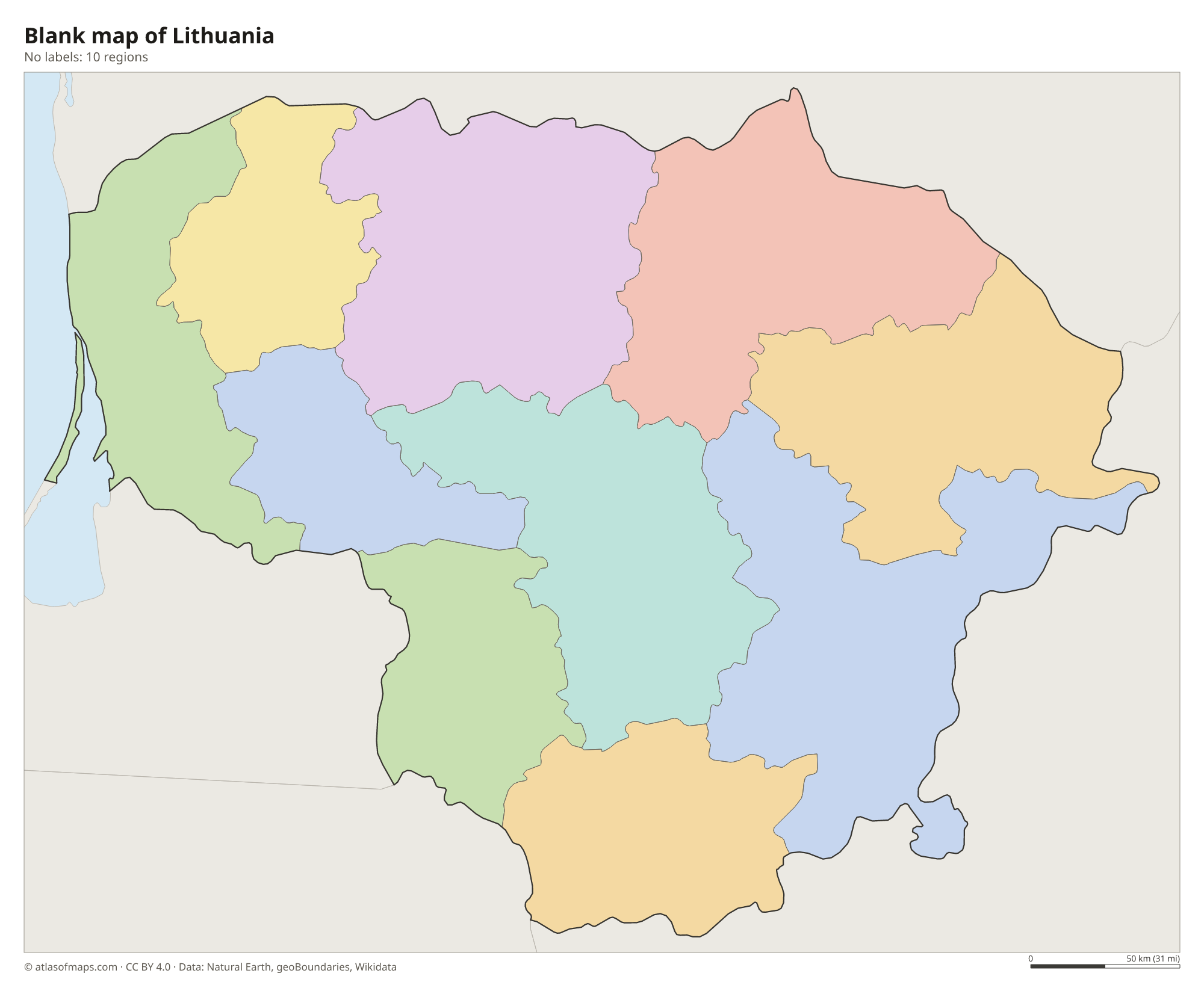
The map shows Lithuania's 10 counties (apskritys), each named after its main city, such as Vilnius, Kaunas and Klaipėda. The counties lost their own administrations in 2010 but are still used for statistics and planning, and the country's 60 municipalities lie within them.
| Region | Capital | Population | Area |
|---|---|---|---|
| Alytus | Alytus | 25,356 | 1,411 km² (545 sq mi) |
| Kaunas | Kaunas | 580,333 | 8,089 km² (3,123 sq mi) |
| Klaipėda | Klaipėda | 336,104 | 5,209 km² (2,011 sq mi) |
| Marijampolė | Marijampolė | 135,891 | 4,463 km² (1,723 sq mi) |
| Panevėžys | Panevėžys | 211,652 | 7,881 km² (3,043 sq mi) |
| Šiauliai | Šiauliai | 261,764 | 8,540 km² (3,297 sq mi) |
| Tauragė | Tauragė | 90,652 | 4,411 km² (1,703 sq mi) |
| Telšiai | Telšiai | 131,431 | 4,350 km² (1,680 sq mi) |
| Utena | Utena | 125,462 | 7,201 km² (2,780 sq mi) |
| Vilnius | Vilnius | 851,346 | 9,731 km² (3,757 sq mi) |
Population from Wikidata (latest figure available for each region).
Blank and coloring maps of Lithuania
Blank map of Lithuania

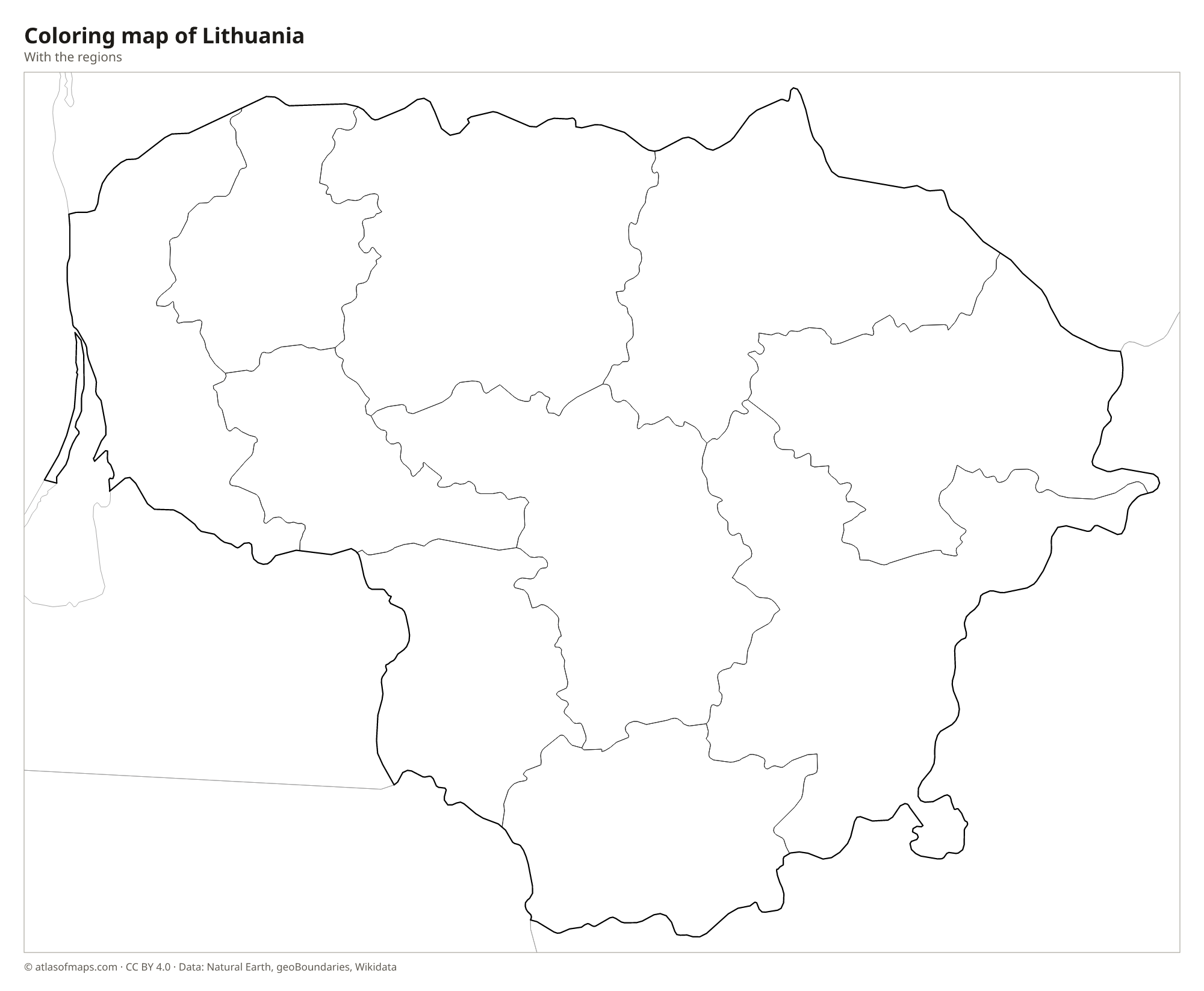
Coloring map of Lithuania

Geography of Lithuania
Lithuania covers 65,300 km² (25,212 sq mi) of low, gently rolling land shaped by Ice Age glaciers, with plains, lakes and forests. Two belts of uplands break up the lowlands: the Samogitian Upland in the west and the Baltic Uplands in the east and southeast. There, close to the border with Belarus, the highest point, Aukštojas Hill, rises to only 294 m (965 ft). Between the uplands lies the flat Central Lithuanian Lowland, the country's main farming region, with fertile fields around Kaunas, Panevėžys and Šiauliai.
The Nemunas (Neman) is the longest river. It enters from Belarus, flows past Kaunas and ends in the Curonian Lagoon, which is separated from the Baltic Sea by the Curonian Spit, a long, narrow ridge of sand dunes that Lithuania shares with Russia and that is a UNESCO World Heritage Site. Thousands of lakes are scattered across the country, especially in the hilly east around Aukštaitija National Park. The climate is cool and damp, milder near the coast and more continental inland, with cold, snowy winters.
Fun facts
- In 1989, French geographers placed the geographical center of Europe in Lithuania, just north of Vilnius, where a monument now marks the spot.
- The shifting sand dunes of the Curonian Spit, near the resort of Nida, are among the highest in Europe.
- Lithuania was the first Soviet republic to declare independence, on March 11, 1990.
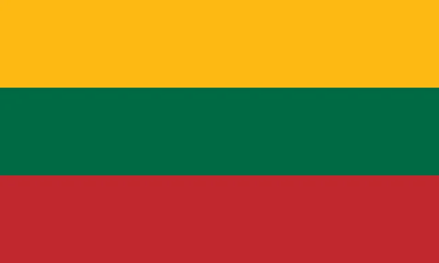
Flag of Lithuania
The flag of Lithuania is a horizontal tricolor of three equal bands: yellow on top, green in the middle and red at the bottom. It has no emblem or inscription and uses a 3:5 ratio. Lithuania also has a historical state flag showing the Vytis, a white knight on horseback on a red field, which flies at certain official sites.
Countries bordering Lithuania
Frequently asked questions
What countries border Lithuania?
Lithuania borders four countries: Latvia to the north, Belarus to the east and south, Poland to the southwest, and Russia, through its Kaliningrad exclave, to the west.
How many counties does Lithuania have?
Lithuania has 10 counties: Alytus, Kaunas, Klaipėda, Marijampolė, Panevėžys, Šiauliai, Tauragė, Telšiai, Utena and Vilnius. Today they are used mainly for statistics and regional planning.
Is Lithuania in Eastern or Northern Europe?
Lithuania is usually grouped with Northern Europe as one of the Baltic states, along with Latvia and Estonia, although some sources place it in Eastern Europe. It is a member of the European Union and uses the euro.
What is the capital of Lithuania?
The capital of Lithuania is Vilnius.
How many regions does Lithuania have?
Lithuania is divided into 10 regions: Alytus, Kaunas, Klaipėda, Marijampolė, Panevėžys, Šiauliai, Tauragė, Telšiai, Utena, and Vilnius.
What language is spoken in Lithuania?
The official language is Lithuanian.
Can I print the map of Lithuania?
Yes. Every map on this page can be downloaded for free as PNG or PDF (US Letter) and printed, including the blank map and the coloring map. Please credit the source (Atlas of Maps, CC BY 4.0).
Use this map
You can download, print and share this map for free, in class, in school projects, in presentations and on websites, as long as you credit the source: Map of Lithuania · Atlas of Maps (atlasofmaps.com), license CC BY 4.0.
See also: Map of Europe · Map of the European Union · World map