Map of Poland with voivodeships and capitals
Poland is a country in Central Europe on the Baltic Sea. It borders Germany to the west, the Czech Republic and Slovakia to the south, Ukraine and Belarus to the east, and Lithuania and the Russian exclave of Kaliningrad to the northeast. The political map shows its 16 voivodeships, the capital, Warsaw, and major cities.

- Capital
- Warsaw
- Population
- 37.6 million (2024)
- Area
- 312,683 km² (120,728 sq mi)
- Population density
- 120 per km² (311 per sq mi)
- Official language
- Polish
- Currency
- złoty
- Demonym
- Polish
- Voivodeships
- 16
- Highest point
- Rysy (2,501 m (8,205 ft))
- Calling code
- +48
- Internet domain
- .pl
- Official name
- Republic of Poland
Where is Poland?
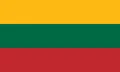
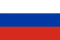
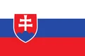
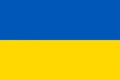
Poland is a country in Central Europe on the Baltic Sea. It borders Germany to the west, the Czech Republic and Slovakia to the south, Ukraine and Belarus to the east, and Lithuania and the Russian exclave of Kaliningrad to the northeast.
Neighboring countries: Belarus, Czech Republic, Germany, Lithuania, Russia, Slovakia, Ukraine.

Voivodeships of Poland and their capitals
Poland is divided into 16 voivodeships, or provinces, shown on the map. Several are named after historical regions, such as Masovian, Silesian, Pomeranian and Greater Poland. Warsaw is the capital of the Masovian Voivodeship as well as of the country.
| Voivodeship | Capital | Population | Area |
|---|---|---|---|
| Greater Poland | Poznań | 3,495,470 | 29,826 km² (11,516 sq mi) |
| Kuyavian-Pomeranian | Bydgoszcz | 2,090,836 | 17,969 km² (6,938 sq mi) |
| Lesser Poland | Kraków | 3,360,581 | 15,108 km² (5,833 sq mi) |
| Łódź | Łódź | 2,508,464 | 18,219 km² (7,034 sq mi) |
| Lower Silesian | Wrocław | 2,915,245 | 19,948 km² (7,702 sq mi) |
| Lublin | Lublin | 2,151,836 | 25,114 km² (9,697 sq mi) |
| Lubusz | Gorzów Wielkopolski | 1,020,767 | 13,988 km² (5,401 sq mi) |
| Masovian | Warsaw | 5,492,000 | 35,566 km² (13,732 sq mi) |
| Opole | Opole | 990,069 | 9,413 km² (3,634 sq mi) |
| Podkarpackie | Rzeszów | 2,121,229 | 17,844 km² (6,890 sq mi) |
| Podlaskie | Białystok | 1,193,348 | 20,180 km² (7,792 sq mi) |
| Pomeranian | Gdańsk | 2,300,000 | 18,293 km² (7,063 sq mi) |
| Silesian | Katowice | 4,617,000 | 12,333 km² (4,762 sq mi) |
| Świętokrzyskie | Kielce | 1,241,546 | 11,672 km² (4,507 sq mi) |
| Warmian-Masurian | Olsztyn | 1,437,812 | 24,191 km² (9,340 sq mi) |
| West Pomeranian | Szczecin | 1,622,760 | 22,896 km² (8,840 sq mi) |
Population from Wikidata (latest figure available for each voivodeship).
Blank and coloring maps of Poland
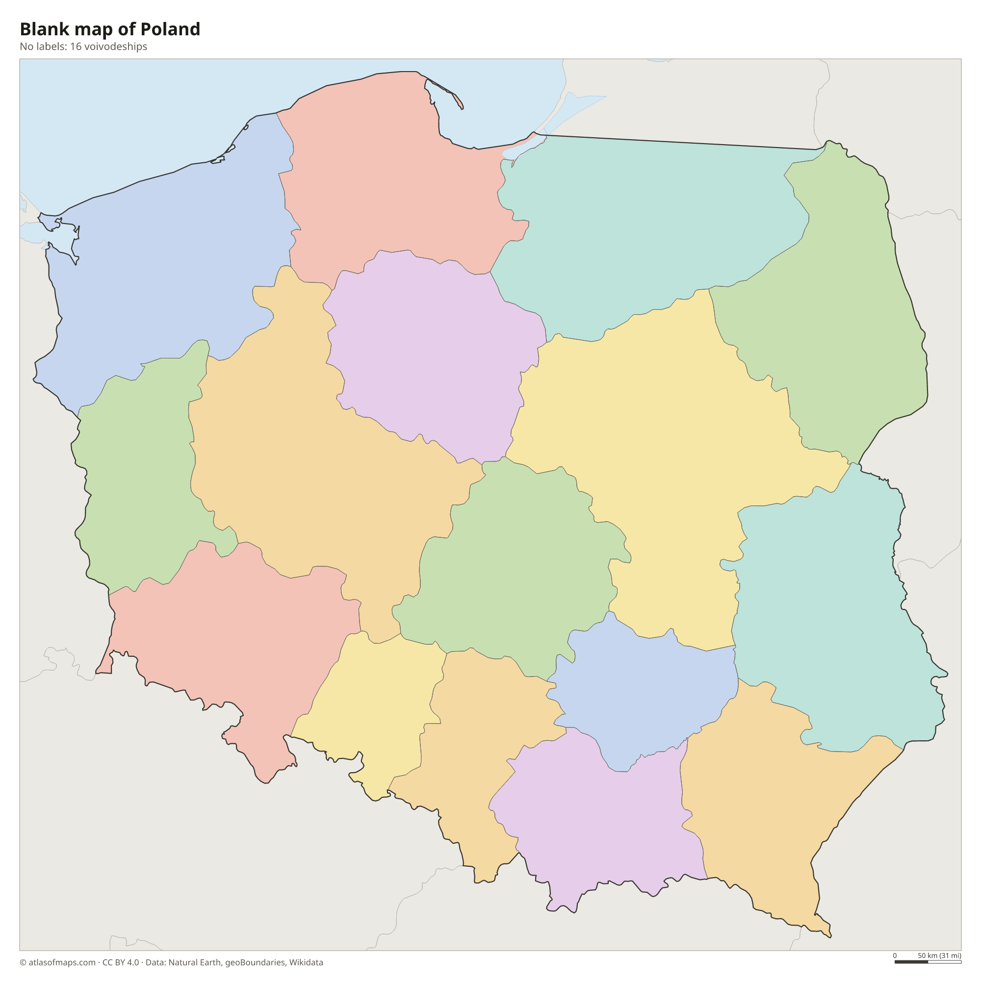
Blank map of Poland

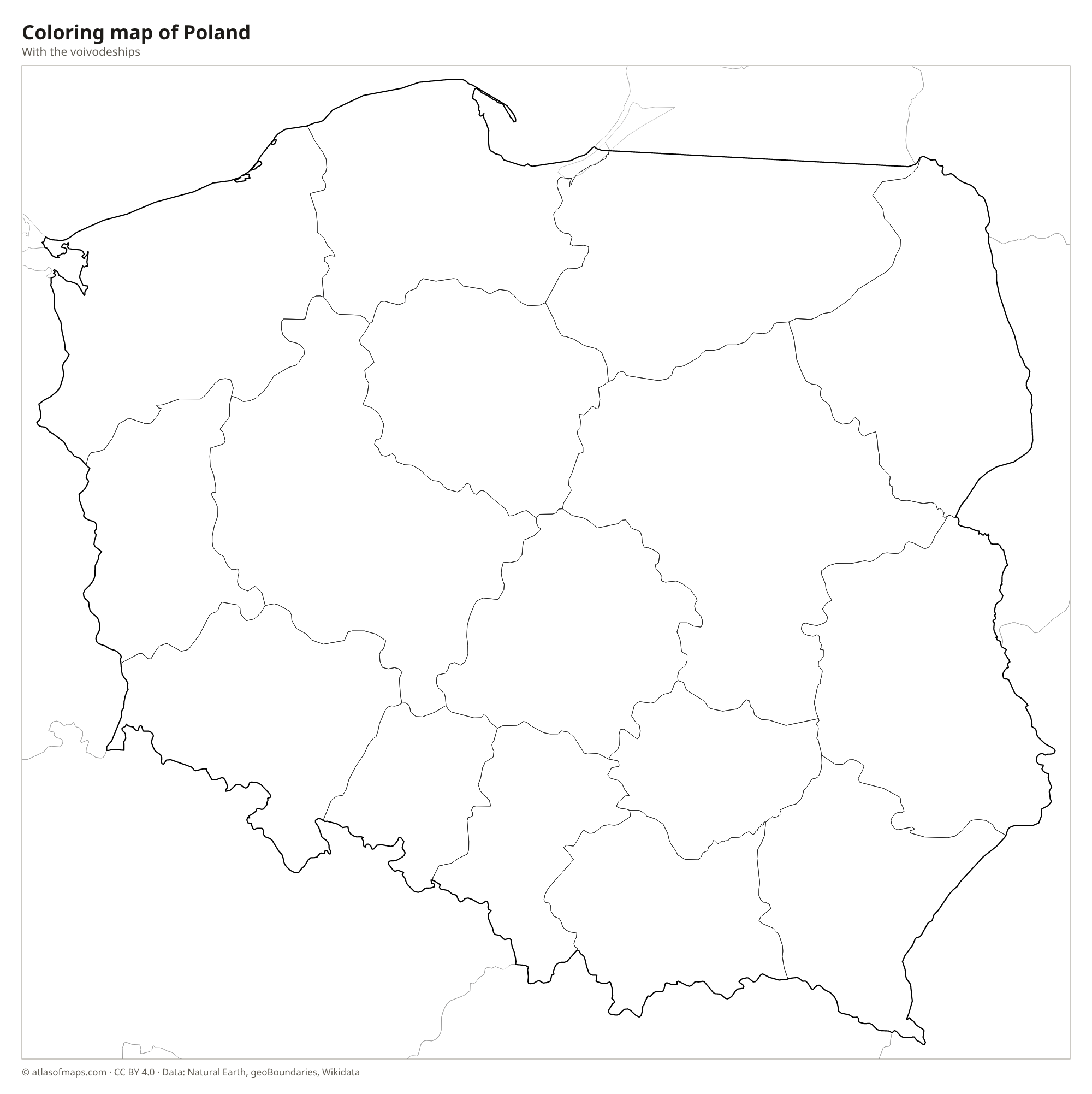
Coloring map of Poland

Geography of Poland
Most of Poland lies on the North European Plain, so the center and north are flat or gently rolling. The land rises toward the south, where the Silesian and Lesser Poland uplands lead to two mountain ranges: the Sudetes along the Czech border and the Carpathians along the Slovak border. The High Tatras, the highest part of the Carpathians, hold Rysy, 2,501 m (8,205 ft), Poland's highest mountain, which it shares with Slovakia. In the north, glaciers of the last ice age left hilly lake districts in Pomerania and Masuria.
Two great rivers cross Poland from south to north: the Vistula, the longest, flows past Kraków and Warsaw to the Baltic near Gdańsk, and the Oder forms much of the border with Germany. The Masurian Lake District in the northeast has thousands of lakes. The Baltic coast is low and sandy, with long spits, lagoons and the moving dunes of Słowiński National Park. Białowieża Forest on the Belarus border is one of the last remnants of the ancient lowland forest that once covered much of Europe. The climate is temperate, with cold winters and warm summers.
Fun facts
- Poland's flag looks like the flags of Indonesia and Monaco turned upside down.
- Białowieża Forest is home to the largest herd of wild European bison.
- The Vistula is the longest river flowing into the Baltic Sea.
Flag of Poland
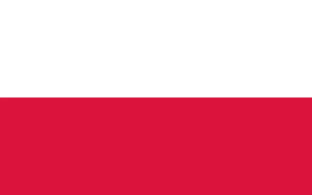
The flag of Poland has two equal horizontal stripes: white on top and red at the bottom. The plain version has no emblem. A second version, with the national coat of arms, a crowned white eagle on a red shield, placed in the middle of the white stripe, is used by some official bodies, embassies and ships.
Countries bordering Poland
Frequently asked questions
What countries border Poland?
Poland borders seven countries: Germany, the Czech Republic, Slovakia, Ukraine, Belarus, Lithuania and Russia, through its Kaliningrad exclave. The Baltic Sea forms Poland's northern coast.
How many voivodeships does Poland have?
Poland has 16 voivodeships, the country's provinces. The largest by area is the Masovian Voivodeship, which surrounds the capital, Warsaw.
Is Poland in Eastern or Central Europe?
Poland is usually placed in Central Europe, although some classifications, including the United Nations' regional grouping, list it under Eastern Europe. It is a member of the European Union.
What is the capital of Poland?
The capital of Poland is Warsaw.
What language is spoken in Poland?
The official language is Polish.
Can I print the map of Poland?
Yes. Every map on this page can be downloaded for free as PNG or PDF (US Letter) and printed, including the blank map and the coloring map. Please credit the source (Atlas of Maps, CC BY 4.0).
Use this map
You can download, print and share this map for free, in class, in school projects, in presentations and on websites, as long as you credit the source: Map of Poland · Atlas of Maps (atlasofmaps.com), license CC BY 4.0.
See also: Map of Europe · Map of the European Union · World map